Old Maps of Halsey, Oregon for Academic Research
Study the evolution of Halsey with 16 high-resolution historic maps. Whether you're teaching, researching, or modeling changes in land use, these maps provide essential visual documentation of urban, environmental, and geographic change.
- Analyze long-term change: Track patterns in development, transportation, and natural features.
- Ideal for environmental or urban studies: Support academic projects with primary historical map data.
- Use in the classroom or lab: Educators and researchers rely on these maps to bring historical context to life.
These maps are a powerful tool for teaching, research, and visualizing how Halsey has changed over the decades.
Halsey, OR maps
(16)- 1912 Map of Halsey
 1912 Halsey1912 Print · USGSThe Willamette Valley’s fertile floor and expanding rail networks are documented here just before the era of modern highways. Local historians can locate numerous vanished rural landmarks, from the Ingram Ferry crossing to schoolhouses like Bell Plain School and Harris School.3 unique versions available
 - 1941 Map of Halsey
 1941 Halsey1941 Print · USGSLinn County agriculture and river commerce are on full display during the early 1940s as rail and ferry networks connected the Willamette valley. Genealogists can locate family landmarks like Bell Plain School, the Irish Bend Ferry, and the Pine Grove Church.
 - 1953 Map of Salem
 1953 Salem1953 Print · USGSMid-century Oregon comes to life through this detailed survey of the Willamette Valley and the adjacent Pacific coastline. Researchers can trace the rail lines of the Southern Pacific RR, visit rural hubs like Fairview School, or locate coastal landmarks like the Yaquina Head Lighthouse.
 - 1954 Map of Salem
 1954 Salem1954 Print · USGSMid-century Western Oregon is centered on the productive Willamette River valley as its cities and infrastructure expand toward the mountains. Genealogists and historians can trace the rail lines of the Southern Pacific RR and Oregon Electric Ry through towns like Dallas, Independence, and Brownsville.
 - 1957 Map of Halsey, 1959 Print
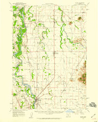 1957 Halsey1959 Print · USGSThe Willamette Valley during the late fifties shows a landscape of river-bottom islands and rail-town hubs. Genealogists can locate family landmarks like Noraton School, trace the Old Territorial Road, and find early settlements at Shedd and Plainview.2 unique versions available
 - 1960 Map of Salem, 1968 Print
 1960 Salem1968 Print · USGSThe Willamette Valley and the surrounding mountain ranges are shown here in the 1960s during a period of significant reservoir construction. Genealogists and historians can trace rail lines like the Oregon Electric and find communities from Lincoln City on the coast to Sweet Home and Mill City in the foothills.2 unique versions available
 - 1962 Map of Salem
 1962 Salem1962 Print · USGSThe Willamette Valley and the surrounding Oregon ranges are captured here in the early sixties, showing the vital growth of the state's primary agricultural and academic corridor. Researchers can trace the mid-century footprints of Oregon State University and the University of Oregon, alongside rural landmarks like Camp Adair and Black Butte Mine.
 - 1963 Map of Salem
 1963 Salem1963 Print · USGSMid-century Oregon comes into focus as the Willamette Valley’s timber and agricultural industries meet the growing campuses of Oregon State University and the University of Oregon. Researchers can trace old rail lines like the Oregon Electric Railway and locate family plots at Siletz Cem or Dallas Cem.
 - 1969 Map of Halsey, 1971 Print
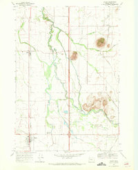 1969 Halsey1971 Print · USGSLinn County was a thriving agricultural and rail corridor in the late sixties, centered on the Southern Pacific line. Researchers can trace family sites and local history through landmarks like Bunker Hill Cem, Shedd, and Central Linn High Sch.2 unique versions available
 - 1980 Map of Eugene
 1980 Eugene1980 Print · USGSThe southern Willamette Valley and Coast Range are captured in the early eighties as the urban centers of Eugene and Springfield expanded. Researchers can trace the legacy of family estates and regional infrastructure through landmarks like Mahlon Sweet Airport, Fern Ridge Lake, and Junction City.
 - 1992 Map of Eugene
 1992 Eugene1992 Print · USGSThe Willamette Valley and Coast Range are captured in the early nineties, showing the growth of Eugene and Springfield. Researchers can trace timber history in the Siuslaw National Forest or locate valley settlements like Junction City and Harrisburg.
 - 2011 Map of Halsey, 2011 Print
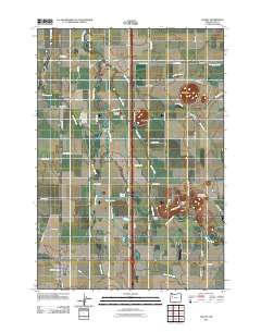 2011 Halsey2011 Print · USGSThe Willamette Valley’s fertile plains near the turn of the decade are centered here around the historic rail towns of Halsey and Shedd. Genealogists and local historians can trace family ties at the Pleasant Butte Baptist Cemetery or locate the Shedd Post Office near the winding Calapooia River.
 - 2014 Map of Halsey, 2014 Print
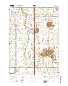 2014 Halsey2014 Print · USGSWillamette Valley agricultural life is captured here during the mid-2010s, showing a landscape defined by complex water systems and volcanic buttes. Researchers can locate early burial grounds like Bunker Hill Cem and trace the paths of Shedd Slough and the Calapooia River.
 - 2017 Map of Halsey, 2017 Print
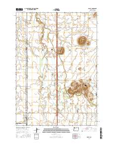 2017 Halsey2017 Print · USGSLinn County agriculture and rural life are well-documented here during the early twenty-first century. Genealogists and local historians can trace family ties at Bunker Hill Cem and Pleasant Butte Baptist Cem or explore the river-driven landscape around Halsey and Shedd.
 - 2020 Map of Halsey, 2020 Print
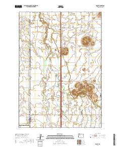 2020 Halsey2020 Print · USGSLinn County agriculture and valley landmarks are captured here in the early twenty-first century. Genealogists and local historians can locate the Bunker Hill Cem, trace the BNSF Railway through Halsey, or explore the terrain of Saddle Butte.
 - 2023 Map of Halsey, 2023 Print
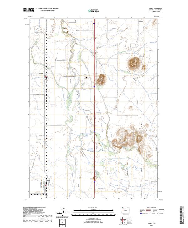 2023 Halsey2023 Print · USGSLinn County agriculture and drainage patterns are on full display in the Willamette Valley during the early 2020s. Researchers can trace family history at the Pleasant Butte Baptist Cem or follow the Portland & Western RR through Shedd.
End of results
Showing maps 1-16 of 16
Top cities near Halsey
- Corvallis historical maps
- Albany historical maps
- Lebanon historical maps
- Junction City historical maps
- Philomath historical maps
- Harrisburg historical maps
See more
Frequently asked questions
- What are the different types of historical maps available for Halsey?
- What is the oldest map of Halsey?
- Where can I purchase historical maps of Halsey for my home or office?
- Where can I download high-res historical maps of Halsey?
- Are there historical topographic maps available for Halsey?
- Is there historical aerial imagery available for Halsey?
- Where are historical maps of Halsey sourced from?