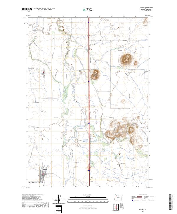
2023 Map of Halsey
USGS Topo · Published 2023About this map
The Calapooia River meanders through this portion of the Willamette Valley, defining a landscape of low-lying wetlands and agricultural drainage systems. The network of water features, including Sodom Ditch, Walton Slough, and Shedd Slough, illustrates the historic and ongoing management of the valley floor's hydrology. Rising abruptly from the plains are distinct topographical landmarks like Ward Butte, Bunker Hill, and the Powell Hills, which provided natural high ground for early local landmarks.
Find a feature on this map
66 named features on this map. Tap any name to fly to it.
Don’t see what you’re looking for? This feature index may not catch every label — zoom into the map to look around manually.
Map Details
Editions of this 2023 Halsey Map
This is the sole edition of this map. No revisions or reprints were ever made.
Other maps of this area

1909 · Harrisburg
USGS Topo · 1:31,680

1909 · Rowland
USGS Topo · 1:31,680

1911 · Brownsville
USGS Topo · 1:31,680

1911 · Lebanon
USGS Topo · 1:31,680

1911 · Tangent
USGS Topo · 1:31,680

1912 · Halsey
USGS Topo · 1:62,500

1913 · Oakville
USGS Topo · 1:31,680

1916 · Albany
USGS Topo · 1:62,500

1921 · Brownsville
USGS Topo · 1:62,500

1921 · Lebanon
USGS Topo · 1:62,500