Old Maps of Scio, Oregon for Metal Detecting
Plan your next treasure hunt with 19 historic maps of Scio. Find old homesites, ghost towns, trails, and gathering spots that may be lost to time — perfect for identifying promising metal detecting locations.
- Locate forgotten sites: Uncover places like long-lost settlements, abandoned rail lines, or gathering spots.
- Plan better hunts: Use map overlays combined with LiDAR or satellite views to narrow in on historically rich areas.
- Made for detectorists: Thousands of hobbyists use these maps to discover relics, coins, and hidden history.
Use these historic maps to boost your research and find new opportunities beneath the surface of Scio.
Scio, OR maps
(19)- 1921 Map of Lebanon
 1921 Lebanon1921 Print · USGSLinn County at the dawn of the 1920s reveals a landscape of thriving rural schools and expanding rail lines. Trace family roots and early farmstead locations near Lebanon, Tallman, and the South Santiam River.
 - 1922 Map of Lebanon
 1922 Lebanon1922 Print · USGSLinn County during the early 1920s reveals a landscape of river-fed farms and burgeoning rail towns. Genealogists and historians can locate dozens of country schoolhouses like Cole School and family landmarks such as Ballins Mill and Miller Cemetery.
 - 1924 Map of Lebanon
 1924 Lebanon1924 Print · USGSLinn County agriculture and rail life are captured here in the early twenties as small communities flourished along the river forks. Researchers can trace the exact locations of many rural schoolhouses like Happy Home School and old mill sites such as Ballins Mill.3 unique versions available
 - 1940 Map of Lebanon
 1940 Lebanon1940 Print · USGSLinn County agriculture and timber transit thrived on the eve of the 1940s, centered on the growing hub of Lebanon. Genealogists and historians can trace dozens of rural school districts and old burial grounds, including Jefferson Cemetery, Rollins Mill, and the Southern Pacific rail stops.
 - 1944 Map of Lebanon
 1944 Lebanon1944 Print · USGSMid-valley Oregon life comes into focus in the 1940s, as rail lines and river forks connect the growing mills and rural schoolhouses of Linn County. Researchers can trace the early layouts of Lebanon and Scio, or locate ancestral sites at Jefferson Cem and Gore Sch.
 - 1953 Map of Salem
 1953 Salem1953 Print · USGSMid-century Oregon comes to life through this detailed survey of the Willamette Valley and the adjacent Pacific coastline. Researchers can trace the rail lines of the Southern Pacific RR, visit rural hubs like Fairview School, or locate coastal landmarks like the Yaquina Head Lighthouse.
 - 1954 Map of Salem
 1954 Salem1954 Print · USGSMid-century Western Oregon is centered on the productive Willamette River valley as its cities and infrastructure expand toward the mountains. Genealogists and historians can trace the rail lines of the Southern Pacific RR and Oregon Electric Ry through towns like Dallas, Independence, and Brownsville.
 - 1957 Map of Lebanon, 1959 Print
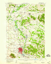 1957 Lebanon1959 Print · USGSThe mid-century Santiam River Valley comes to life in this survey of the Lebanon and Scio areas as they appeared in the late fifties. Researchers can trace the legacy of rural education and community at the Tennessee School, Richardson Gap Grange, and IOOF-Masonic Cemetery.3 unique versions available
 - 1960 Map of Salem, 1968 Print
 1960 Salem1968 Print · USGSThe Willamette Valley and the surrounding mountain ranges are shown here in the 1960s during a period of significant reservoir construction. Genealogists and historians can trace rail lines like the Oregon Electric and find communities from Lincoln City on the coast to Sweet Home and Mill City in the foothills.2 unique versions available
 - 1962 Map of Salem
 1962 Salem1962 Print · USGSThe Willamette Valley and the surrounding Oregon ranges are captured here in the early sixties, showing the vital growth of the state's primary agricultural and academic corridor. Researchers can trace the mid-century footprints of Oregon State University and the University of Oregon, alongside rural landmarks like Camp Adair and Black Butte Mine.
 - 1963 Map of Salem
 1963 Salem1963 Print · USGSMid-century Oregon comes into focus as the Willamette Valley’s timber and agricultural industries meet the growing campuses of Oregon State University and the University of Oregon. Researchers can trace old rail lines like the Oregon Electric Railway and locate family plots at Siletz Cem or Dallas Cem.
 - 1969 Map of Scio, 1971 Print
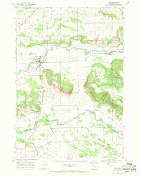 1969 Scio1971 Print · USGSLinn County agriculture and timber meet in the late sixties as the area around Scio and Shelburn continues its rail-and-river legacy. Genealogists and local historians can locate the Miller Cem, Schimanek Bridge, and the Covered Bridge over Crabtree Creek.2 unique versions available
 - 1983 Map of North Santiam River, 1984 Print
 1983 North Santiam River1984 Print · USGSThe western Cascades and Willamette Valley transition in the early eighties, from the state capital to the high timberlands. Genealogists and historians can trace rail lines like the Southern Pacific and explore communities from Mill City to Silver Falls City.
 - 1991 Map of North Santiam River, 1993 Print
 1991 North Santiam River1993 Print · USGSMarion and Linn counties come into focus in the early 1990s as the Santiam River valley transitions from the Willamette Valley floor to the Cascade peaks. Researchers can trace timber and rail history through Mill City, locate family landmarks near Stayton, or explore the boundaries of Silver Falls State Park.
 - 2011 Map of Scio, 2011 Print
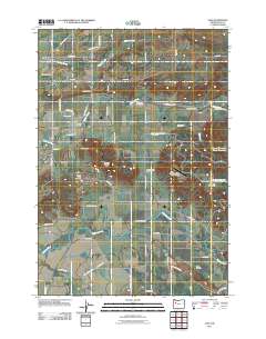 2011 Scio2011 Print · USGSCovers Scio, including Shelburn, Linn County, and other nearby areas
 - 2014 Map of Scio, 2014 Print
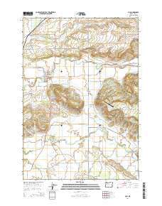 2014 Scio2014 Print · USGSCovers Scio, including Shelburn, Linn County, and other nearby areas
 - 2017 Map of Scio, 2017 Print
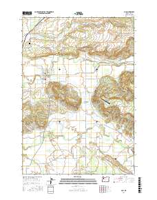 2017 Scio2017 Print · USGSCovers Scio, including Shelburn, Linn County, and other nearby areas
 - 2020 Map of Scio, 2020 Print
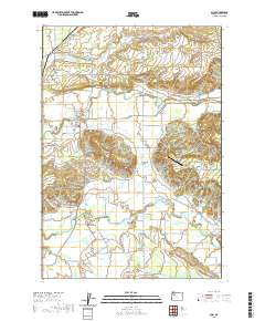 2020 Scio2020 Print · USGSCovers Scio, including Shelburn, Linn County, and other nearby areas
 - 2023 Map of Scio, 2023 Print
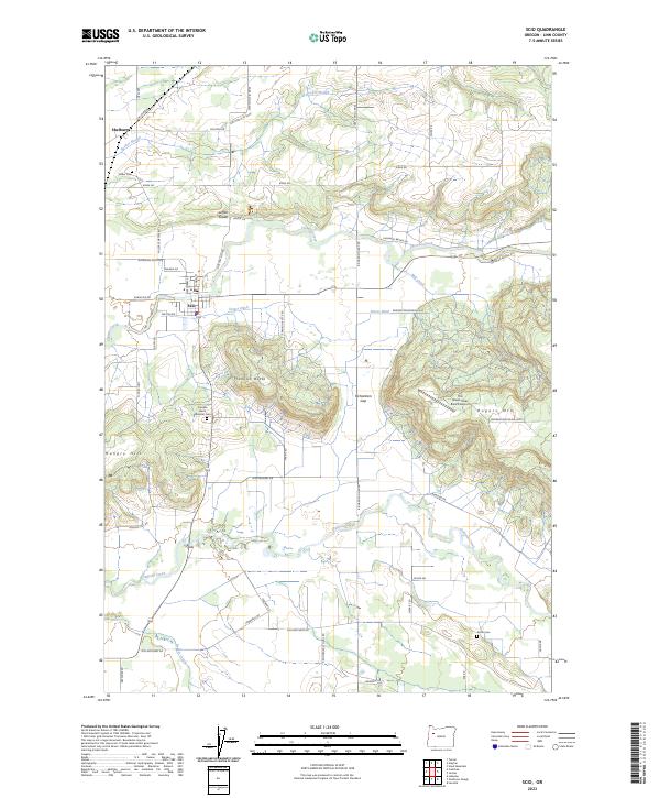 2023 Scio2023 Print · USGSThe rural landscape around the Linn County community of Scio is documented here in the early twenty-first century. Researchers can trace historic family-named sites and burial grounds like Franklin Butte Masonic Cem, Miller Cem, and The Green Trees Ranch Airport.
End of results
Showing maps 1-19 of 19
Top cities near Scio
- Salem historical maps
- Albany historical maps
- Lebanon historical maps
- Stayton historical maps
- Aumsville historical maps
- Sublimity historical maps
See more
Frequently asked questions
- What are the different types of historical maps available for Scio?
- What is the oldest map of Scio?
- Where can I purchase historical maps of Scio for my home or office?
- Where can I download high-res historical maps of Scio?
- Are there historical topographic maps available for Scio?
- Is there historical aerial imagery available for Scio?
- Where are historical maps of Scio sourced from?