Old Maps of Ironside, Oregon for Academic Research
Study the evolution of Ironside with 10 high-resolution historic maps. Whether you're teaching, researching, or modeling changes in land use, these maps provide essential visual documentation of urban, environmental, and geographic change.
- Analyze long-term change: Track patterns in development, transportation, and natural features.
- Ideal for environmental or urban studies: Support academic projects with primary historical map data.
- Use in the classroom or lab: Educators and researchers rely on these maps to bring historical context to life.
These maps are a powerful tool for teaching, research, and visualizing how Ironside has changed over the decades.
Ironside, OR maps
(10)- 1955 Map of Baker, 1964 Print
 1955 Baker1964 Print · USGSThe Oregon-Idaho borderlands are captured here in the mid-fifties as the Snake River underwent massive changes from dam construction. Trace the Oregon Trail Memorial Monument near Baker, find early mines like Virtue Mine, and follow the Union Pacific Railroad through Huntington.4 unique versions available
 - 1959 Map of Baker
 1959 Baker1959 Print · USGSThe Oregon and Idaho borderlands come alive in the late fifties, showing the rugged corridor along the Snake River and the high peaks of the Wallowa Mountains. Researchers can trace the legacy of the Union Pacific railroad or locate historic mining sites like the Flagstaff Mine and Virtue Mine.2 unique versions available
 - 1964 Map of Ironside, 1966 Print
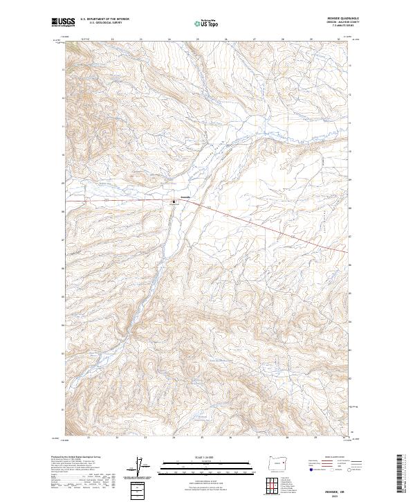
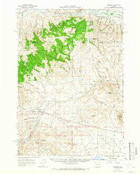 1964 Ironside1966 Print · USGSIronside and the surrounding high country of the Oregon borderlands are captured here in the mid-sixties. Genealogists and historians can trace the foundations of this ranching community through the Ironside Sch, the Golden Eagle Mine, and the historic Treaty Boundary.
 - 1980 Map of Brogan, 1997 Print
 1980 Brogan1997 Print · USGSThe Oregon-Idaho borderlands come alive in this late-century survey of the high desert and river valleys. Researchers can trace the legacy of ranching and transport through sites like Malheur City, the Union Pacific rail lines, and the Snake River crossings.
 - 1990 Map of Ironside
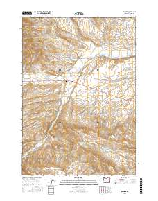
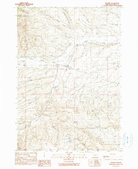 1990 Ironside1990 Print · USGSMalheur County, Oregon, is shown here as it appeared in the late twentieth century, centered on the settlement of Ironside. Researchers can trace the path of the Old Indian Treaty Boundary and locate water sources like Mud Flat Spring and the Rock Quarry Reservoir.
 - 2011 Map of Ironside, 2011 Print
 2011 Ironside2011 Print · USGSCovers Ironside, including Malheur County, United States, and other nearby areas
 - 2014 Map of Ironside, 2014 Print
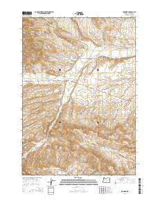 2014 Ironside2014 Print · USGSCovers Ironside, including Malheur County, United States, and other nearby areas
 - 2017 Map of Ironside, 2017 Print
 2017 Ironside2017 Print · USGSCovers Ironside, including Malheur County, United States, and other nearby areas
 - 2020 Map of Ironside, 2020 Print
 2020 Ironside2020 Print · USGSCovers Ironside, including Malheur County, United States, and other nearby areas
 - 2023 Map of Ironside, 2023 Print
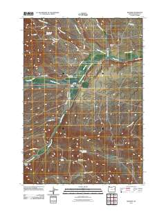
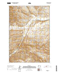
 2023 Ironside2023 Print · USGSMalheur County ranching and water management are the focus of this high-desert survey. Genealogists and historians can trace local ties through Ironside Cem and water systems like Moltham Reservoir One or Rutherford Ditch.
End of results
Showing maps 1-10 of 10
Frequently asked questions
- What are the different types of historical maps available for Ironside?
- What is the oldest map of Ironside?
- Where can I purchase historical maps of Ironside for my home or office?
- Where can I download high-res historical maps of Ironside?
- Are there historical topographic maps available for Ironside?
- Is there historical aerial imagery available for Ironside?
- Where are historical maps of Ironside sourced from?