2000s (21st Century) Maps of Union, Oregon
Explore 10 historic maps of Union from the 2000s (21st Century). These maps offer a rare glimpse into what life looked like during the 2000s — showing old roads, neighborhoods, homes, and landmarks that have changed or disappeared over time.
Whether you're researching your family's past, planning a metal detecting trip, or studying how Union's landscape evolved across the 2000s, these high-resolution maps are a powerful tool for exploring the history of this region.
- Focus on a specific era: All maps on this page are from the 2000s, giving you a focused view of this time period.
- See what’s changed: Compare century-old streets, trails, and buildings to today's modern landscape using overlays and satellite layers.
- Research with precision: Use these maps for genealogy, historical research, land use analysis, or educational projects.
- View, download, or print: Maps are fully viewable online in high resolution, and can be downloaded or printed for your own records.
Start exploring Union's history through authentic maps from the 2000s. This is your window into the past.
Union, OR maps
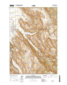
(10)- 2011 Map of Craig Mountain, 2011 Print
 2011 Craig Mountain2011 Print · USGSCovers Union, including Union County, United States, and other nearby areas
 - 2011 Map of Union, 2011 Print
 2011 Union2011 Print · USGSCovers Union, including Union County, United States, and other nearby areas
 - 2014 Map of Union, 2014 Print
 2014 Union2014 Print · USGSCovers Union, including Union County, United States, and other nearby areas
 - 2014 Map of Craig Mountain, 2014 Print
 2014 Craig Mountain2014 Print · USGSCovers Union, including Union County, United States, and other nearby areas
 - 2017 Map of Union, 2017 Print
 2017 Union2017 Print · USGSCovers Union, including Union County, United States, and other nearby areas
 - 2017 Map of Craig Mountain, 2017 Print
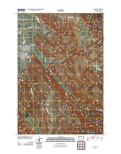
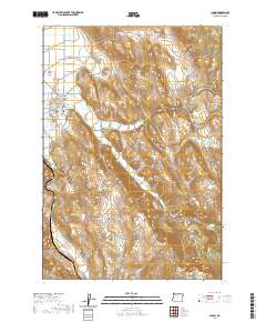
 2017 Craig Mountain2017 Print · USGSCovers Union, including Union County, United States, and other nearby areas
 - 2020 Map of Union, 2020 Print
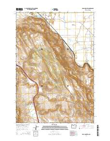
 2020 Union2020 Print · USGSCovers Union, including Union County, United States, and other nearby areas
 - 2020 Map of Craig Mountain, 2020 Print
 2020 Craig Mountain2020 Print · USGSCovers Union, including Union County, United States, and other nearby areas
 - 2023 Map of Union, 2023 Print
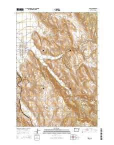
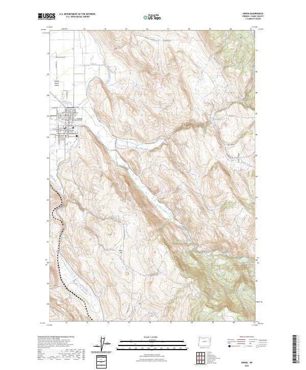 2023 Union2023 Print · USGSThe eastern edge of the Grande Ronde Valley is documented here as it appeared in the early twenty-first century. Genealogists and local historians can trace the town of Union and its surrounding rural landmarks, from Union Cem to the irrigation works of the Catherine Creek Highline Canal.
 - 2024 Map of Craig Mountain, 2024 Print
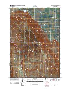
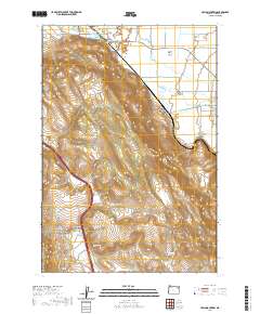
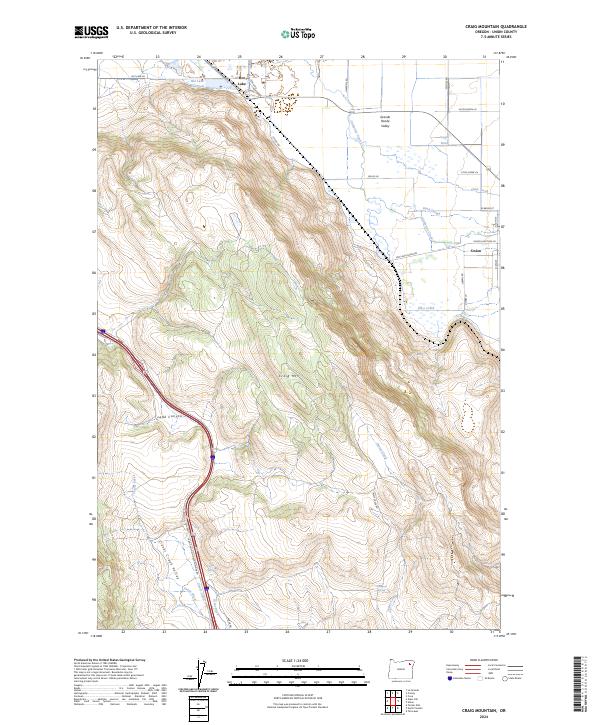 2024 Craig Mountain2024 Print · USGSThe eastern Grande Ronde Valley transition into the Blue Mountains is captured here in recent detail. Researchers can trace historic water rights and land use through features like Grout Ditch, the Hot Lake Reservoir, and the roads leading into Union.
End of results
Showing maps 1-10 of 10
Top cities near Union
- La Grande historical maps
- Island City historical maps
- Cove historical maps
- North Powder historical maps
Frequently asked questions
- What are the different types of historical maps available for Union?
- What is the oldest map of Union?
- Where can I purchase historical maps of Union for my home or office?
- Where can I download high-res historical maps of Union?
- Are there historical topographic maps available for Union?
- Is there historical aerial imagery available for Union?
- Where are historical maps of Union sourced from?