Old Maps of Meacham Corner, Oregon for Academic Research
Study the evolution of Meacham Corner with 14 high-resolution historic maps. Whether you're teaching, researching, or modeling changes in land use, these maps provide essential visual documentation of urban, environmental, and geographic change.
- Analyze long-term change: Track patterns in development, transportation, and natural features.
- Ideal for environmental or urban studies: Support academic projects with primary historical map data.
- Use in the classroom or lab: Educators and researchers rely on these maps to bring historical context to life.
These maps are a powerful tool for teaching, research, and visualizing how Meacham Corner has changed over the decades.
Meacham Corner, OR maps
(14)- 1941 Map of Gales Creek
 1941 Gales Creek1941 Print · USGSWashington County at the start of the 1940s reveals a landscape of logging camps and rural schoolhouses. Genealogists can trace family roots at the Kansas City School and Watts School or locate early industrial sites like the F W Dixon Lumber Mill.
 - 1948 Map of Vancouver, 1957 Print
 1948 Vancouver1957 Print · USGSPost-war growth transforms the river valleys of the Pacific Northwest as the timber and rail economy thrives. Trace family roots in Tillamook or Oregon City, and locate vanished landmarks like the spit at Bayocean or the Skamania Mine.
 - 1950 Map of Vancouver
 1950 Vancouver1950 Print · USGSCoastal Oregon and the lower Columbia River valley are captured in detail just after the war. Researchers can trace historic rail routes like the Southern Pacific or locate early settlements such as Vernonia, Gaston, and the Grand Ronde Indian Reservation.
 - 1950 Map of Vancouver, 1951 Print
 1950 Vancouver1951 Print · USGSThe Pacific Northwest urban corridor meets the rugged coast in the years following the war, showing the expansion of Portland and Vancouver. Genealogists and historians can trace the reach of the Southern Pacific RR and locate coastal communities like Tillamook, Seaside, and Tolovana Park.
 - 1956 Map of Forest Grove, 1959 Print
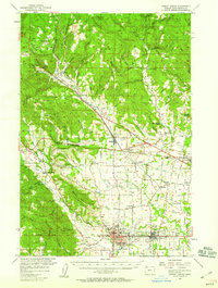 1956 Forest Grove1959 Print · USGSThe northern Willamette Valley in the mid-fifties reveals a landscape of established rail hubs and quiet agricultural settlements. Researchers can find deep local roots through features like Pacific University, Visitation Ch, and the many rural schoolhouses like Leisy School and Arcade Standard Sch.3 unique versions available
 - 1958 Map of Vancouver, 1968 Print
 1958 Vancouver1968 Print · USGSThe Lower Columbia and Willamette valleys thrive in the late sixties as major rail and river hubs. Genealogists and historians can trace the development of Portland, identify the grounds of Camp Withycombe, and locate coastal landmarks from Tillamook Head to Garibaldi.3 unique versions available
 - 1964 Map of Vancouver
 1964 Vancouver1964 Print · USGSThe Pacific Northwest interior and coast are shown here in the 1960s, from the Portland metropolitan hub to the rugged Pacific shoreline. Researchers can trace the legacy of the Grand Ronde Indian Reservation, the early layout of McMinnville, and the maritime approaches near Tillamook Head.
 - 1979 Map of Meacham Corner
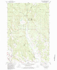 1979 Meacham Corner1979 Print · USGSMountaindale and the surrounding forest lands are shown here in the late seventies as the local timber and rail economy shaped Washington County. Genealogists and local historians can trace family-named sites like Raffety Cem, the Mountaindale School, and Spouseville Corner.2 unique versions available
 - 1979 Map of Nehalem River, 1980 Print
 1979 Nehalem River1980 Print · USGSThe northern Oregon coast and its timber-rich interior are captured here in the late seventies, showing the vital connection between sea and forest. Researchers can trace the rail lines of the Southern Pacific and Burlington Northern through historic logging hubs like Vernonia, Timber, and Nehalem.3 unique versions available
 - 2011 Map of Meacham Corner, 2011 Print
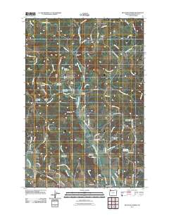 2011 Meacham Corner2011 Print · USGSCovers Meacham Corner, including Mountaindale, Snooseville Corner, and other nearby areas
 - 2014 Map of Meacham Corner, 2014 Print
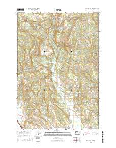 2014 Meacham Corner2014 Print · USGSCovers Meacham Corner, including Mountaindale, Snooseville Corner, and other nearby areas
 - 2017 Map of Meacham Corner, 2017 Print
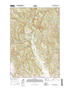 2017 Meacham Corner2017 Print · USGSCovers Meacham Corner, including Mountaindale, Snooseville Corner, and other nearby areas
 - 2020 Map of Meacham Corner, 2020 Print
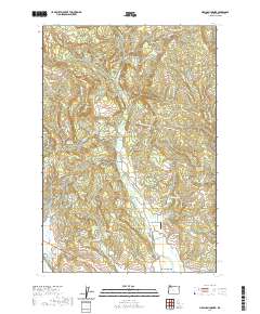 2020 Meacham Corner2020 Print · USGSCovers Meacham Corner, including Mountaindale, Snooseville Corner, and other nearby areas
 - 2024 Map of Meacham Corner, 2024 Print
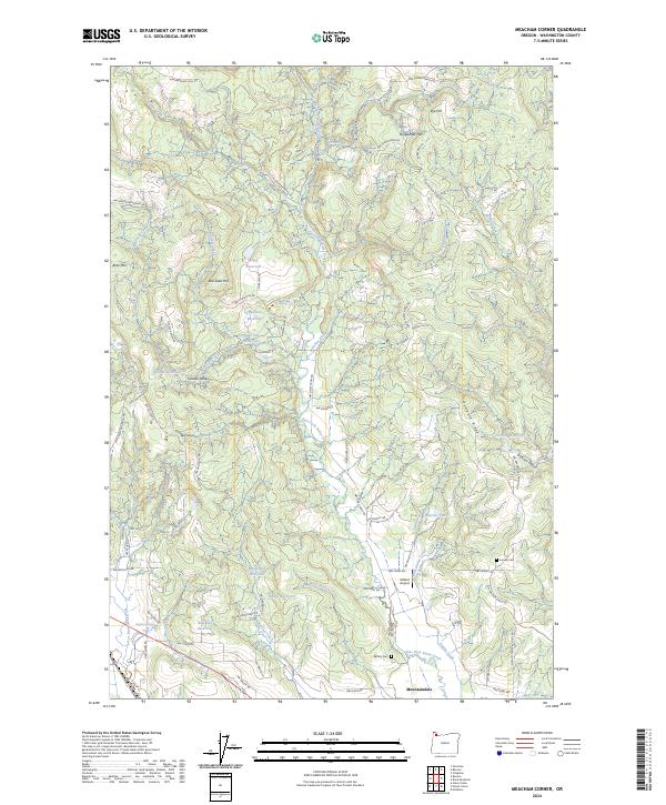 2024 Meacham Corner2024 Print · USGSThe area north of Mountaindale in the 2020s remains a landscape of timbered ridges and small reservoirs. Researchers can find old family landmarks and burial sites like Arcade Cem, Raffety Cem, and the unique Gilbert Airport airfield.
End of results
Showing maps 1-14 of 14
Top cities near Meacham Corner
- Hillsboro historical maps
- Beaverton historical maps
- Forest Grove historical maps
- Saint Helens historical maps
- Cornelius historical maps
- Scappoose historical maps
See more
Frequently asked questions
- What are the different types of historical maps available for Meacham Corner?
- What is the oldest map of Meacham Corner?
- Where can I purchase historical maps of Meacham Corner for my home or office?
- Where can I download high-res historical maps of Meacham Corner?
- Are there historical topographic maps available for Meacham Corner?
- Is there historical aerial imagery available for Meacham Corner?
- Where are historical maps of Meacham Corner sourced from?