2000s (21st Century) Maps of Cumberland Township, Pennsylvania
Explore 26 historic maps of Cumberland Township from the 2000s (21st Century). These maps offer a rare glimpse into what life looked like during the 2000s — showing old roads, neighborhoods, homes, and landmarks that have changed or disappeared over time.
Whether you're researching your family's past, planning a metal detecting trip, or studying how Cumberland Township's landscape evolved across the 2000s, these high-resolution maps are a powerful tool for exploring the history of this region.
- Focus on a specific era: All maps on this page are from the 2000s, giving you a focused view of this time period.
- See what’s changed: Compare century-old streets, trails, and buildings to today's modern landscape using overlays and satellite layers.
- Research with precision: Use these maps for genealogy, historical research, land use analysis, or educational projects.
- View, download, or print: Maps are fully viewable online in high resolution, and can be downloaded or printed for your own records.
Start exploring Cumberland Township's history through authentic maps from the 2000s. This is your window into the past.
Cumberland Township, PA maps
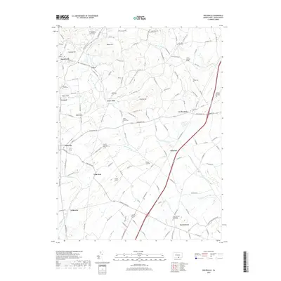
(26)- 2010 Map of Biglerville, 2010 Print
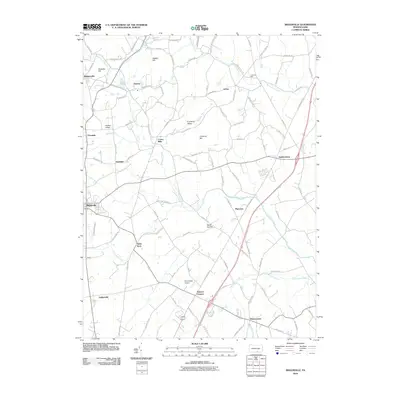 2010 Biglerville2010 Print · USGSCovers Cumberland Township, including Biglerville, Bendersville, and other nearby areas
 - 2010 Map of Fairfield, 2010 Print
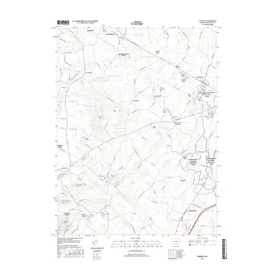
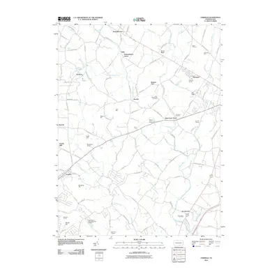 2010 Fairfield2010 Print · USGSCovers Cumberland Township, including Fairfield, Hamiltonban Township, and other nearby areas
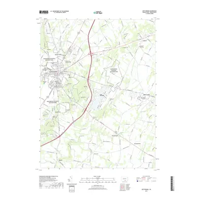
 - 2010 Map of Gettysburg, 2010 Print
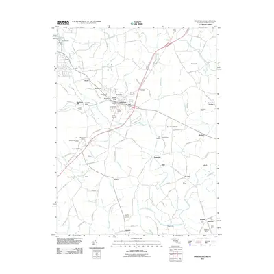
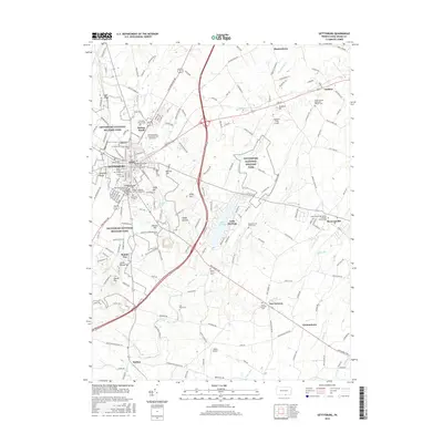
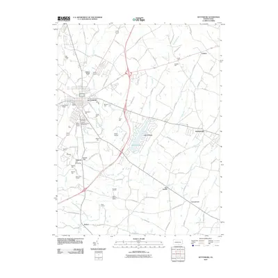 2010 Gettysburg2010 Print · USGSCovers Cumberland Township, including Gettysburg, Bonneauville, and other nearby areas
 - 2011 Map of Taneytown, 2011 Print
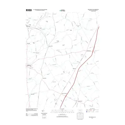
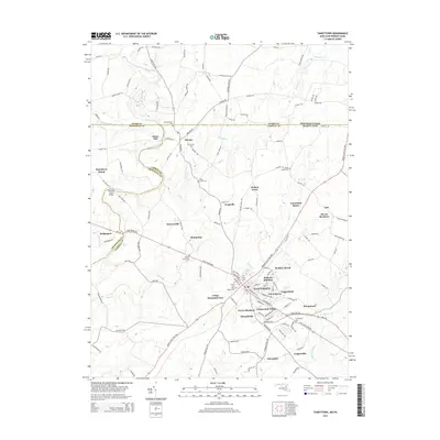
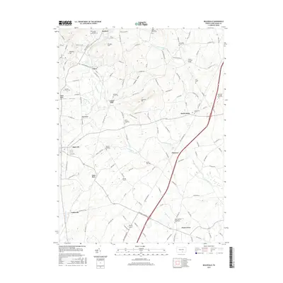
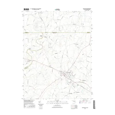
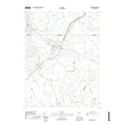
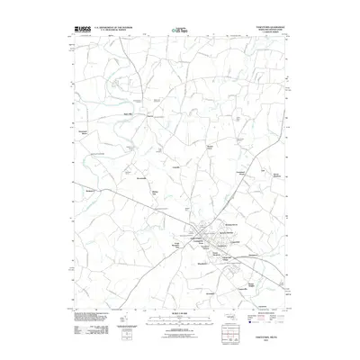 2011 Taneytown2011 Print · USGSCovers Cumberland Township, including Taneytown, Germany Township, and other nearby areas
 - 2011 Map of Emmitsburg, 2011 Print
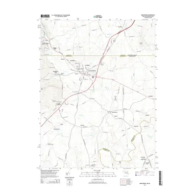
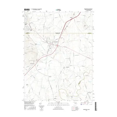
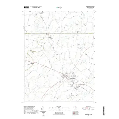
 2011 Emmitsburg2011 Print · USGSCovers Cumberland Township, including Emmitsburg, Harney Venture Estates, and other nearby areas
 - 2013 Map of Biglerville, 2013 Print
 2013 Biglerville2013 Print · USGSCovers Cumberland Township, including Biglerville, Bendersville, and other nearby areas
 - 2013 Map of Gettysburg, 2013 Print
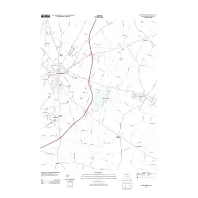 2013 Gettysburg2013 Print · USGSCovers Cumberland Township, including Gettysburg, Bonneauville, and other nearby areas
 - 2013 Map of Fairfield, 2013 Print
 2013 Fairfield2013 Print · USGSCovers Cumberland Township, including Fairfield, Hamiltonban Township, and other nearby areas
 - 2014 Map of Taneytown, 2014 Print
 2014 Taneytown2014 Print · USGSCovers Cumberland Township, including Taneytown, Germany Township, and other nearby areas
 - 2014 Map of Emmitsburg, 2014 Print
 2014 Emmitsburg2014 Print · USGSCovers Cumberland Township, including Emmitsburg, Harney Venture Estates, and other nearby areas
 - 2016 Map of Fairfield, 2016 Print
 2016 Fairfield2016 Print · USGSCovers Cumberland Township, including Fairfield, Hamiltonban Township, and other nearby areas
 - 2016 Map of Gettysburg, 2016 Print
 2016 Gettysburg2016 Print · USGSCovers Cumberland Township, including Gettysburg, Bonneauville, and other nearby areas
 - 2016 Map of Biglerville, 2016 Print
 2016 Biglerville2016 Print · USGSCovers Cumberland Township, including Biglerville, Bendersville, and other nearby areas
 - 2016 Map of Emmitsburg, 2016 Print
 2016 Emmitsburg2016 Print · USGSCovers Cumberland Township, including Emmitsburg, Harney Venture Estates, and other nearby areas
 - 2016 Map of Taneytown, 2016 Print
 2016 Taneytown2016 Print · USGSCovers Cumberland Township, including Taneytown, Germany Township, and other nearby areas
 - 2019 Map of Fairfield, 2019 Print
 2019 Fairfield2019 Print · USGSCovers Cumberland Township, including Fairfield, Hamiltonban Township, and other nearby areas
 - 2019 Map of Biglerville, 2019 Print
 2019 Biglerville2019 Print · USGSCovers Cumberland Township, including Biglerville, Bendersville, and other nearby areas
 - 2019 Map of Gettysburg, 2019 Print
 2019 Gettysburg2019 Print · USGSCovers Cumberland Township, including Gettysburg, Bonneauville, and other nearby areas
 - 2019 Map of Emmitsburg, 2019 Print
 2019 Emmitsburg2019 Print · USGSCovers Cumberland Township, including Emmitsburg, Harney Venture Estates, and other nearby areas
 - 2019 Map of Taneytown, 2019 Print
 2019 Taneytown2019 Print · USGSCovers Cumberland Township, including Taneytown, Germany Township, and other nearby areas
 - 2023 Map of Gettysburg, 2023 Print
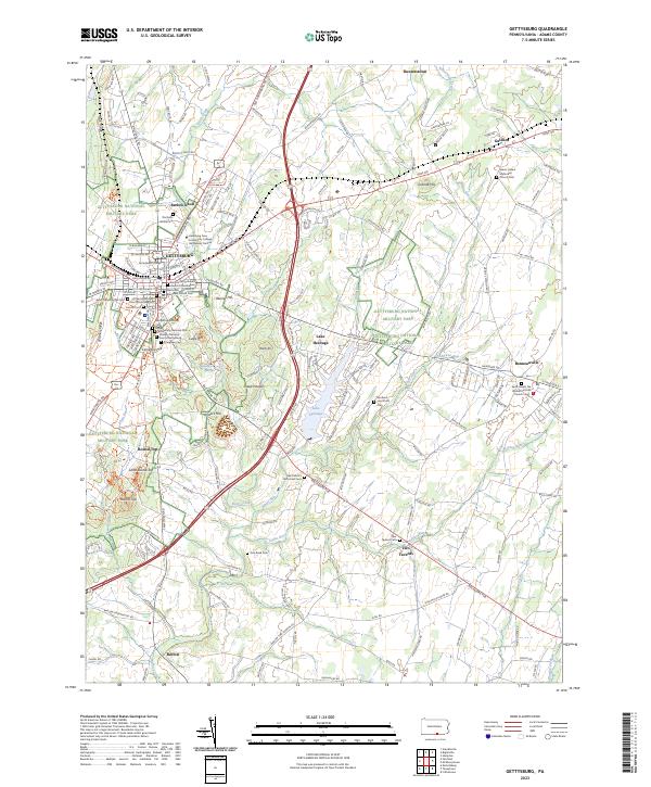 2023 Gettysburg2023 Print · USGSGettysburg and its surrounding ridges appear in the twenty-first century as a blend of meticulously preserved battlefield and a thriving college town. Trace family connections at Lincoln Cem or Evergreen Cem, and explore the terrain of Round Top and Culps Hill.
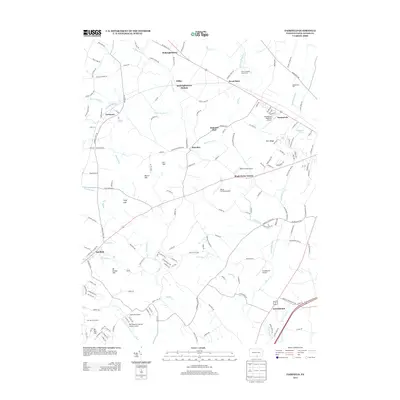
 - 2023 Map of Arendtsville, 2023 Print
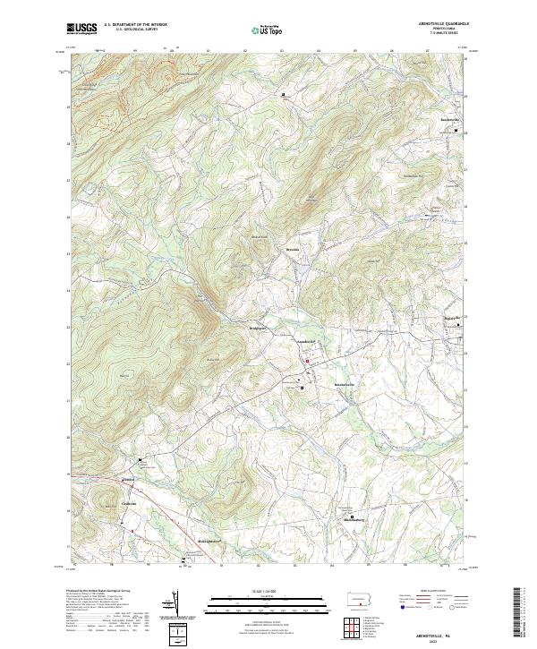 2023 Arendtsville2023 Print · USGSAdams County orchard country and the foothills of South Mountain are captured here in modern detail. Genealogists can trace family names and burial sites at the German Society Lutheran Calvinist Cem, Fairview Cem, and Mummasburg Mennonite Cem.
 - 2023 Map of Biglerville, 2023 Print
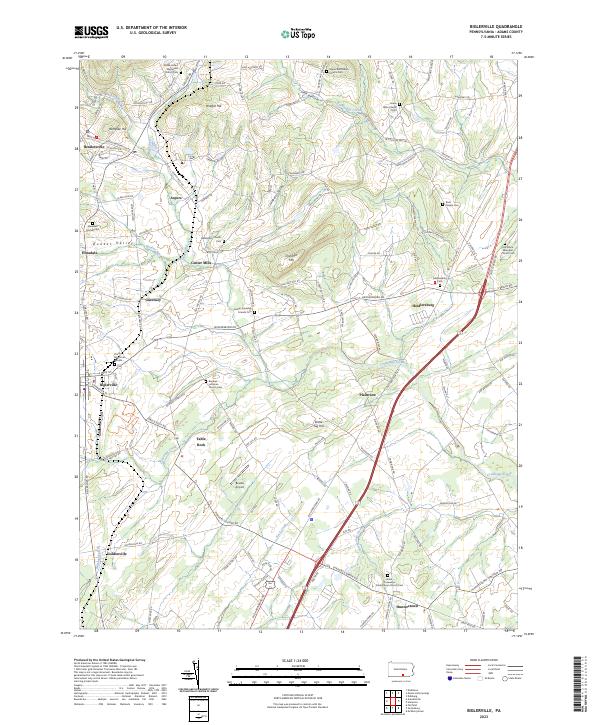 2023 Biglerville2023 Print · USGSApple country in Adams County is captured here in the early twenty-first century, showing the enduring rural character of towns like Biglerville and Aspers. Researchers can find dozens of historic burial sites, including the Old White Episcopal Church Cem and Butler Township Friends Cem.
 - 2023 Map of Fairfield, 2023 Print
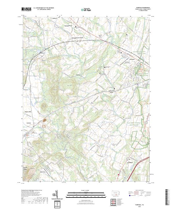 2023 Fairfield2023 Print · USGSThe countryside west of Gettysburg remains a landscape of historic taverns and old churchyards. Trace family history at McKnightstown Cem or explore the western boundaries of Gettysburg National Military Park near Black Horse Tavern.
 - 2023 Map of Emmitsburg, 2023 Print
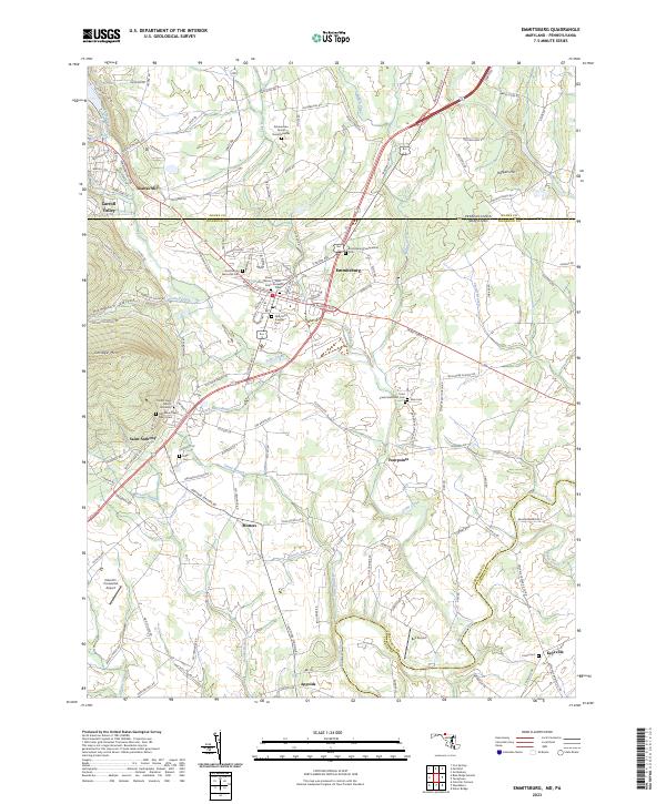 2023 Emmitsburg2023 Print · USGSEmmitsburg and the Maryland-Pennsylvania borderlands are shown here in recent years, centered on a landscape shaped by religious education and rural industry. Genealogists can locate Zimmerman Family Burial Grounds, Elder Cem, and Mount Saint Mary's University.
Showing maps 1-25 of 26
Top cities near Cumberland Township
- Westminster historical maps
- Gettysburg historical maps
- Taneytown historical maps
- Thurmont historical maps
- Quincy Township historical maps
- Littlestown historical maps
See more
Top neighborhoods of Cumberland Township
- Round Top historical maps
- Barlow Knoll historical maps
- Stremmels historical maps
- Blackhorse Tavern historical maps
- Sedgwick historical maps
- Greenmount historical maps
Frequently asked questions
- What are the different types of historical maps available for Cumberland Township?
- What is the oldest map of Cumberland Township?
- Where can I purchase historical maps of Cumberland Township for my home or office?
- Where can I download high-res historical maps of Cumberland Township?
- Are there historical topographic maps available for Cumberland Township?
- Is there historical aerial imagery available for Cumberland Township?
- Where are historical maps of Cumberland Township sourced from?