Old Maps of Aspinwall, Pennsylvania for Metal Detecting
Plan your next treasure hunt with 29 historic maps of Aspinwall. Find old homesites, ghost towns, trails, and gathering spots that may be lost to time — perfect for identifying promising metal detecting locations.
- Locate forgotten sites: Uncover places like long-lost settlements, abandoned rail lines, or gathering spots.
- Plan better hunts: Use map overlays combined with LiDAR or satellite views to narrow in on historically rich areas.
- Made for detectorists: Thousands of hobbyists use these maps to discover relics, coins, and hidden history.
Use these historic maps to boost your research and find new opportunities beneath the surface of Aspinwall.
Aspinwall, PA maps
(29)- 1904 Map of Mc Keesport
 1904 Mc Keesport1904 Print · USGSAllegheny County at the height of its industrial era reveals a landscape of massive rail yards and riverfront steel towns. Genealogists can trace family roots through dense neighborhoods in Homestead, Wilkinsburg, and Braddock or locate ancestral plots in Homewood Cem.2 unique versions available
 - 1907 Map of Pittsburg
 1907 Pittsburg1907 Print · USGSSteel-industry heartlands and river-valley rail corridors define the Pittsburgh region in the early nineteen-hundreds. Trace the complex rail networks of the Union RR and Pennsylvania RR through industrial hubs like Homestead and Wilmerding.10 unique versions available
 - 1908 Map of New Kensington, 1956 Print
 1908 New Kensington1956 Print · USGSThe Allegheny River valley and its surrounding townships are captured here at the start of the twentieth century. Researchers can trace early railroad stops at Allison Park Sta, find rural landmarks like Sandy Hill School, and locate the Fulton Ferry crossing.
 - 1910 Map of New Kensington
 1910 New Kensington1910 Print · USGSThe industrial Allegheny River corridor and its rugged hinterlands come alive in this 1910 survey of the Westmoreland and Butler County borders. Genealogists and historians can trace family roots through labels for Sandy Hill School, Clinton Church, and the settlement at Saxonburg.7 unique versions available
 - 1951 Map of Pittsburg East
 1951 Pittsburg East1951 Print · USGSThe eastern reaches of Pittsburgh and its river valleys are shown here in the early postwar era. Researchers can trace the footprints of iconic landmarks like Forbes Field and the University of Pittsburgh or locate family plots in Allegheny Cemetery.3 unique versions available
 - 1953 Map of Pittsburgh
 1953 Pittsburgh1953 Print · USGSWestern Pennsylvania's industrial landscape at the start of the fifties shows the steel and rail corridors between Pittsburgh and Altoona. Trace family roots in river towns like Tarentum or follow the Pennsylvania Turnpike across Laurel Hill.
 - 1953 Map of Glenshaw, 1955 Print
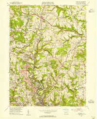 1953 Glenshaw1955 Print · USGSAllegheny County's northern suburbs and mining valleys are captured here in the early fifties during a period of significant postwar growth. Genealogists and local historians can trace family roots through Israth Chain Cemetery, Bethlehem Ch, and the many schools like Braun Sch.
 - 1954 Map of Pittsburgh
 1954 Pittsburgh1954 Print · USGSWestern Pennsylvania in the early fifties remains a powerhouse of heavy industry and vital transit corridors. Genealogists and historians can trace the rail-and-river network connecting Pittsburgh, Johnstown, and Altoona via the Pennsylvania RR and the Lincoln Highway.2 unique versions available
 - 1956 Map of Pittsburgh East, 1959 Print
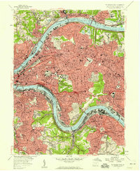 1956 Pittsburgh East1959 Print · USGSMid-century Pittsburgh and its eastern boroughs appear here during a peak era of industrial and academic expansion. Trace the rail-integrated neighborhoods from Lawrenceville to Wilkinsburg, including the historic Allegheny Cemetery and Frick Park.
 - 1958 Map of Pittsburgh
 1958 Pittsburgh1958 Print · USGSWestern Pennsylvania in the late fifties shows an industrial heartland defined by the confluence of the Allegheny River and Monongahela River. Researchers can trace the sprawling rail networks of the Pennsylvania RR and find established towns like Butler, Latrobe, and Windber.5 unique versions available
 - 1959 Map of Pittsburgh
 1959 Pittsburgh1959 Print · USGSWestern Pennsylvania in the late fifties is captured here at the height of its industrial era. Genealogists and historians can trace the riverfront growth of Pittsburgh, the rail works at Altoona, and the mountain gaps of Laurel Hill.
 - 1960 Map of Pittsburgh East, 1961 Print
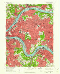 1960 Pittsburgh East1961 Print · USGSPostwar Pittsburgh and its eastern boroughs are captured here at their industrial height, bounded by the great river bends. Genealogists and local historians can trace legacy parish boundaries through St Marys Cem, Peabody High Sch, and St Aloysius Ch.4 unique versions available
 - 1960 Map of Glenshaw, 1961 Print
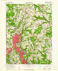 1960 Glenshaw1961 Print · USGSAllegheny County at the start of the sixties shows a dense network of suburban expansion and industrial transport north of Pittsburgh. Genealogists can trace family names and sites across numerous burial grounds like Mt Royal Cemetery and Beth Shalom Cemetery or locate landmarks like the Radio Sta (KDKA) and Shady Side Academy.6 unique versions available
 - 1964 Map of Pittsburgh
 1964 Pittsburgh1964 Print · USGSWestern Pennsylvania in the late fifties and early sixties shows a landscape of powerful river industries and expanding highways. Genealogists and historians can trace the rail corridors of the Pennsylvania RR through industrial hubs like Johnstown, Altoona, and Nanty Glo.
 - 1983 Map of Indiana
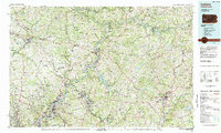 1983 Indiana1983 Print · USGSWestern Pennsylvania in the early eighties shows a landscape of industrial river towns and expanding university campuses. Genealogists can trace family roots through Lucernemines and Spring Church, or locate ancestors in Oakland Cemetery.
 - 1986 Map of Pittsburgh East
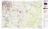 1986 Pittsburgh East1986 Print · USGSWestern Pennsylvania in the mid-eighties shows a landscape defined by industrial rivers and rising mountain ridges. Trace the dense rail networks of CONRAIL and the Pittsburgh and Lake Erie RR connecting historic centers like Monessen, Jeannette, and Connellsville.3 unique versions available
 - 1993 Map of Pittsburgh East, 1994 Print
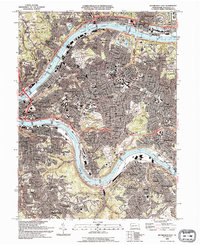 1993 Pittsburgh East1994 Print · USGSThe industrial and academic heart of western Pennsylvania is captured here in the early nineties, showing Pittsburgh as its neighborhoods and riverfronts continued to evolve. Researchers can locate family sites near Allegheny Cemetery, trace the campus footprints of Carnegie Mellon University, or find local landmarks like the Civic Arena.2 unique versions available
 - 1993 Map of Glenshaw, 1999 Print
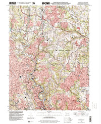 1993 Glenshaw1999 Print · USGSAllegheny County's northern suburbs show a dense mix of valley-bottom industry and ridgetop residential growth in the early nineties. Researchers can trace family sites through numerous cemeteries like Torath Chaim Cem or locate community landmarks such as Wyland Sch and the Municipal Bldg.
 - 1997 Map of Pittsburgh East, 2000 Print
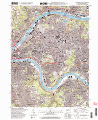 1997 Pittsburgh East2000 Print · USGSAllegheny County at the close of the twentieth century shows a landscape defined by industrial rivers and established urban neighborhoods. Researchers can trace the legacy of local parishes and families through Allegheny Cemetery, St Nicholas Cem, and dozens of landmarks from Millvale to Wilkinsburg.2 unique versions available
 - 2010 Map of Pittsburgh East, 2010 Print
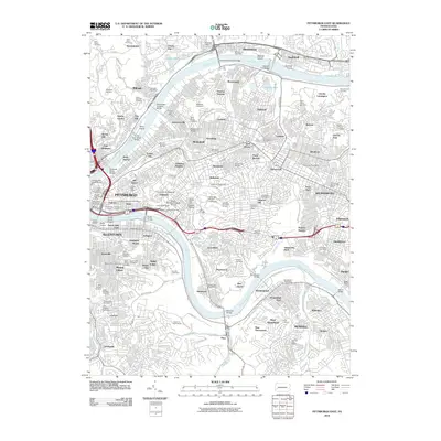 2010 Pittsburgh East2010 Print · USGSGreater Pittsburgh is shown here at the turn of the millennium, documenting the dense urban grid between the two rivers. Trace the layout of university campuses, industrial riverfronts, and historic sites like Allegheny Cemetery and Herrs Island.
 - 2010 Map of Glenshaw, 2010 Print
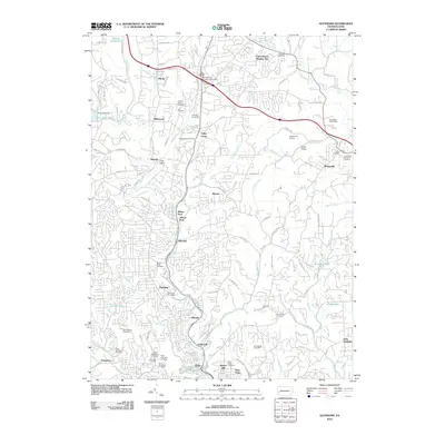 2010 Glenshaw2010 Print · USGSNorth of Pittsburgh in the early 2000s, the landscape is a complex mix of suburban expansion and long-standing community centers. Researchers can trace local genealogy through numerous sites like Torath Chaim Cemetery or explore the aviation history of Cedar Run Airport and Nardo Airport.
 - 2013 Map of Pittsburgh East, 2013 Print
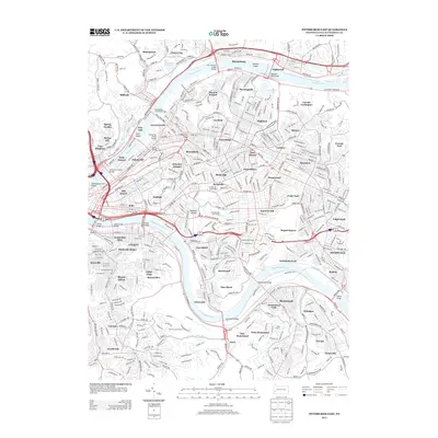 2013 Pittsburgh East2013 Print · USGSThe eastern districts of Pittsburgh and its riverfront neighbors appear here in high detail during the early twenty-first century. Researchers can trace the legacy of the city's growth through its massive burying grounds like Allegheny Cemetery or explore river landmarks such as Herrs Island and the Homestead Bridge.
 - 2013 Map of Glenshaw, 2013 Print
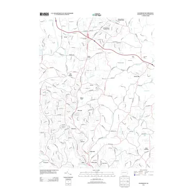 2013 Glenshaw2013 Print · USGSAllegheny County's northern suburbs are shown here in the early twenty-first century, featuring the complex terrain between Etna and Wildwood. Genealogists and local historians can trace residential patterns across Allison Park, Glenshaw, and the ridges of Fox Chapel.
 - 2016 Map of Glenshaw, 2016 Print
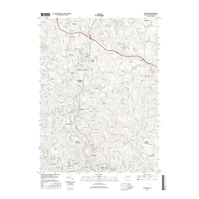 2016 Glenshaw2016 Print · USGSThe North Hills of Allegheny County appear here in the mid-2010s, showing a densely settled landscape of commuter suburbs and local valleys. Genealogists and historians can trace numerous family and community sites, from Mount Royal Cem to the local Cedar Run Airport.
 - 2016 Map of Pittsburgh East, 2016 Print
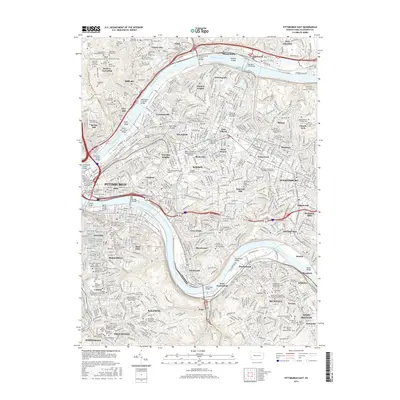 2016 Pittsburgh East2016 Print · USGSGreater Pittsburgh and its eastern boroughs are shown here in the mid-2010s, where the rivers and ridges dictate the city's dense urban form. Genealogists can trace family records through a high concentration of burial sites like Whitaker Family Cem and the Saint Paul of the Cross Monastery Cem.
Showing maps 1-25 of 29
Frequently asked questions
- What are the different types of historical maps available for Aspinwall?
- What is the oldest map of Aspinwall?
- Where can I purchase historical maps of Aspinwall for my home or office?
- Where can I download high-res historical maps of Aspinwall?
- Are there historical topographic maps available for Aspinwall?
- Is there historical aerial imagery available for Aspinwall?
- Where are historical maps of Aspinwall sourced from?