Old Maps of Findlay Township, Pennsylvania for Hiking & Exploration
Hike through history with 35 historic maps of Findlay Township. Explore old trails, ghost towns, and forgotten backroads — perfect for outdoor adventurers and local explorers.
- Rediscover forgotten places: Map out old mining camps, roads, and footpaths that no longer exist on modern maps.
- Layer with modern tools: Combine with LiDAR or satellite views to plan hikes through historical terrain.
- Made for exploration: Popular among hikers, overlanders, and local history lovers.
Use these maps to find adventure and explore the hidden past of Findlay Township.
Findlay Township, PA maps
(35)- 1901 Map of Beaver, 1958 Print
 1901 Beaver1958 Print · USGSThe industrial river valleys of Beaver County at the dawn of the twentieth century are captured here in meticulous detail. Researchers can trace the development of Beaver Falls and Rochester or locate riverside landmarks like Baker's Landing and Dam No. 6.
 - 1904 Map of Beaver
 1904 Beaver1904 Print · USGSBeaver County at the opening of the twentieth century shows a landscape defined by the bustling industrial corridors of the Ohio River. Genealogists can trace family roots through riverfront settlements like Monaca, Shippingport, and Freedom, or locate early transport hubs such as Cooks Ferry.6 unique versions available
 - 1904 Map of Carnegie, 1954 Print
 1904 Carnegie1954 Print · USGSAllegheny County's industrial heartland is captured here at the start of the twentieth century as rail lines and mines reshaped the landscape. Researchers can trace early settlements and social hubs like Cliff Mine, the County Home, and the Union Church.
 - 1904 Map of Burgettstown, 1958 Print
 1904 Burgettstown1958 Print · USGSWashington County and its neighbors are documented at the turn of the century as the coal and rail industries began reshaping the landscape. Researchers can trace early family sites and infrastructure from Pattersons Mill to the Francis Mine and the North Star Tyre P O.
 - 1906 Map of Burgettstown
 1906 Burgettstown1906 Print · USGSWestern Pennsylvania’s coal and rail landscape comes into focus at the dawn of the twentieth century. Researchers can trace historic family landmarks and industrial sites like Francis Mine, Pattersons Mill, and the North Star Tyre P O.5 unique versions available
 - 1906 Map of Carnegie
 1906 Carnegie1906 Print · USGSThe industrial valleys of Western Pennsylvania come alive in the early 1900s, showing the early infrastructure of the Ohio River and its tributaries. Local historians can trace family roots at Union Church or explore the early coal economy at Cliff Mine and Walkers Mills.7 unique versions available
 - 1906 Map of Sewickley, 1960 Print
 1906 Sewickley1960 Print · USGSWestern Pennsylvania’s river-and-rail corridor is captured here at the start of the century, showing the industrial development along the Ohio River. Researchers can trace early infrastructure like Dam No 4 or locate landmarks such as the Camp Meeting Grounds and Parks Quarries.
 - 1908 Map of Sewickley
 1908 Sewickley1908 Print · USGSThe industrial corridor of the Ohio River valley is captured here in the early twentieth century, showing a landscape defined by steam-era transport and valley settlements. Researchers can trace the riverfront rail networks of the Pennsylvania System and locate historic landmarks like Aliquippa Park and the Campmeeting Grounds.7 unique versions available
 - 1908 Map of Carnegie, 1910 Print
 1908 Carnegie1910 Print · USGSSouthwest of the Pittsburgh river forks in the early 1900s, a complex web of railroads and industrial hollows began to link the rural coal and mill towns. Trace the paths of the Wabash and Side Belt lines past landmarks like Cliff Mine, Guy Mills, and Treveskyn Cuddy PO.
 - 1951 Map of Canton
 1951 Canton1951 Print · USGSThe industrial heartland of Ohio and Pennsylvania reached its mid-century peak during this era of heavy rail and river transit. Genealogists and historians can trace the development of steel towns like Aliquippa and Weirton alongside the Ohio River and major lines of the Pennsylvania RR.
 - 1953 Map of Canton
 1953 Canton1953 Print · USGSThe industrial heartland of Ohio and Pennsylvania is captured at its mid-century peak in this detailed regional survey. Genealogists and historians can trace the vast rail networks of the Pennsylvania RR and find local landmarks like Nimisila Reservoir and Tappan Reservoir.
 - 1953 Map of Ambridge, 1955 Print
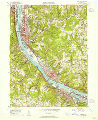 1953 Ambridge1955 Print · USGSThe Ohio River valley in the early fifties is captured here at a peak of industrial and rail activity. Local historians can trace the grounds of Old Economy, locate the Dashields Dam, and find vanished landmarks like Stoops Ferry.
 - 1953 Map of Oakdale, 1955 Print
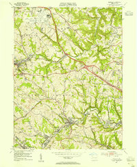 1953 Oakdale1955 Print · USGSAllegheny County's industrial and aviation landscape is captured here in the early fifties as the coal-mining era met modern infrastructure. Trace family history and rail lines through Oakdale, Imperial, and Cliff Mine, or locate the State Industrial Sch.
 - 1954 Map of Aliquippa, 1955 Print
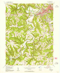 1954 Aliquippa1955 Print · USGSBeaver County’s industrial valleys and rural uplands meet in the mid-fifties, showing the growth of Aliquippa alongside established farming communities. Genealogists can trace family names through the John Anderson Memorial Cem, New Bethlehem Ch, and the rural crossroads of Gringo.6 unique versions available
 - 1954 Map of Clinton, 1955 Print
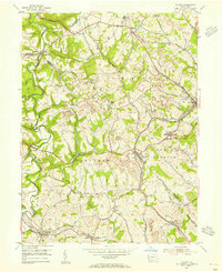 1954 Clinton1955 Print · USGSThe mining hills west of Pittsburgh come to life in the mid-1950s, showing a landscape defined by the Montour RR and early coal extraction. Genealogists and historians can trace the foundations of Santiago (Tyre PO), Murdocksville, and old country landmarks like Hebron Ch.7 unique versions available
 - 1957 Map of Canton, 1971 Print
 1957 Canton1971 Print · USGSThe industrial heartland of eastern Ohio and western Pennsylvania comes alive in this mid-century survey of the Ohio River Valley. Trace the heritage of rail and river commerce through Pittsburgh, the massive steel towns along the Ohio River, and major junctions on the Pennsylvania RR.3 unique versions available
 - 1960 Map of Oakdale
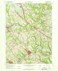 1960 Oakdale1960 Print · USGSAllegheny County during the expansion of the mid-century reveals a landscape caught between the industrial past and the modern jet age. Genealogists and local historians can trace the footprint of coal at Cliff Mine, institutional history at Woodville State Hospital, and early aviation at the Greater Pittsburgh Airport.7 unique versions available
 - 1960 Map of Ambridge, 1961 Print
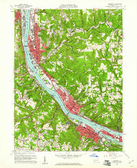 1960 Ambridge1961 Print · USGSThe Ohio River industrial corridor in the early sixties is captured here, from the steel centers of Ambridge to the residential enclaves of Sewickley. Genealogists and historians can trace riverside landmarks like the Old Economy Historical Site, the Dashields Dam, and the early footprint of the Greater Pittsburgh Airport.6 unique versions available
 - 1962 Map of Canton
 1962 Canton1962 Print · USGSThe industrial heartland of Eastern Ohio and Western Pennsylvania thrives in the early sixties as steel mills and rail lines dominate the river valleys. Genealogists and historians can trace local landmarks like McKinley National Memorial, Malone College, and industrial sites such as Republic Steel Corp.2 unique versions available
 - 1986 Map of Pittsburgh West
 1986 Pittsburgh West1986 Print · USGSThe Tri-State region's coal and rail corridors are captured in the mid-eighties as industry and aviation expanded. Trace the legacy of extraction at Nelms Mine No 1, locate Short Creek PO, or follow the Chessie System tracks along the Ohio River.3 unique versions available
 - 1986 Map of East Liverpool
 1986 East Liverpool1986 Print · USGSThe tri-state border region in the 1980s reveals a landscape shaped by the Ohio River and a massive rail network. Researchers can trace the industrial footprint of East Liverpool and Midland or locate inland landmarks like Pine Lake and Strip Mines.2 unique versions available
 - 1993 Map of Oakdale, 1999 Print
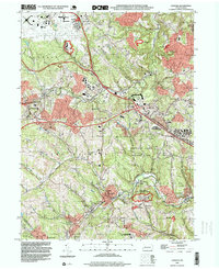 1993 Oakdale1999 Print · USGSAllegheny County in the early 1990s shows a landscape defined by industrial legacy and the growth of the Greater Pittsburgh International Airport. Genealogists and historians can trace local family roots through sites like Resurrection Cemetery, Cliff Mine, and the Montour RR corridor.
 - 1998 Map of Clinton, 2000 Print
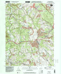 1998 Clinton2000 Print · USGSWestern Pennsylvania at the end of the century reveals a landscape shaped by heavy industry and aviation. Researchers can trace family sites near Hebron Ch, explore the footprint of Imperial, or study the impact of Reclaimed Strip Mines and the Greater Pittsburgh International Airport.
 - 2010 Map of Clinton, 2010 Print
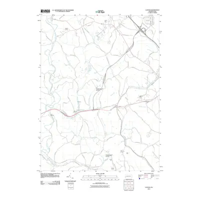 2010 Clinton2010 Print · USGSIndependence Township and the surrounding Beaver County countryside are captured here in the early twenty-first century, showing a mix of industrial history and rural life. Trace the local impact of the coal industry at Shaw Mine or locate family roots near the Hopewell-Hebron Cemetery and Tyre Post Office.
 - 2010 Map of Oakdale, 2010 Print
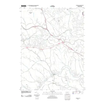 2010 Oakdale2010 Print · USGSAllegheny County south of the airport is shown here in the early 2000s as suburban expansion follows the creek valleys. Genealogists can trace family names through numerous sites like Oakdale Cemetery, Robb Cemetery, and the historical site of Cliff Mine.
Showing maps 1-25 of 35
Top cities near Findlay Township
- Pittsburgh historical maps
- Bethel Park historical maps
- Ross Township historical maps
- Mount Lebanon historical maps
- McCandless historical maps
- Cranberry Township historical maps
See more
Top neighborhoods of Findlay Township
- Cork historical maps
- Murdocksville historical maps
- Virsoix historical maps
- Coraopolis Heights historical maps
- McAlisters Crossroads historical maps
- Clinton historical maps
See more
Frequently asked questions
- What are the different types of historical maps available for Findlay Township?
- What is the oldest map of Findlay Township?
- Where can I purchase historical maps of Findlay Township for my home or office?
- Where can I download high-res historical maps of Findlay Township?
- Are there historical topographic maps available for Findlay Township?
- Is there historical aerial imagery available for Findlay Township?
- Where are historical maps of Findlay Township sourced from?