Old Maps of Boggs Township, Pennsylvania for Genealogy
Trace your family roots with 32 historic maps of Boggs Township. These high-res maps reveal old neighborhoods, homesites, landmarks, and streets — helping you uncover where your ancestors lived and how the area evolved over time.
- Explore historic neighborhoods: Identify where your relatives may have lived in the 1800s or 1900s.
- Compare maps over time: Trace the changes in streets, buildings, and landmarks for multi-generational research.
- Perfect for genealogy & ancestry research: Used by family historians and researchers to map out lineage and migration.
These maps are an incredible resource for exploring your personal connection to Boggs Township's past.
Boggs Township, PA maps
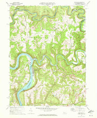
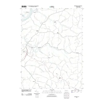
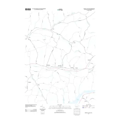
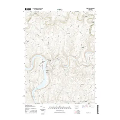
(32)- 1901 Map of Rural Valley, 1957 Print
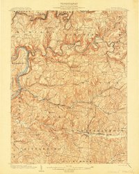
 1901 Rural Valley1957 Print · USGSArmstrong County’s river valleys and iron-working hamlets are captured here at the start of the twentieth century. Researchers can trace the legacy of early industry at Mahoning Furnace or follow the path of the Pennsylvania R.R. through Templeton.2 unique versions available
 - 1903 Map of Rural Valley
 1903 Rural Valley1903 Print · USGSArmstrong County at the dawn of the twentieth century shows a landscape defined by iron furnaces and winding river valleys. Genealogists can trace family roots in early settlements like Templeton, Goheenville, and Putneyville or locate landmarks such as Mahoning Furnace and Stone House.6 unique versions available
 - 1953 Map of Pittsburgh
 1953 Pittsburgh1953 Print · USGSWestern Pennsylvania's industrial landscape at the start of the fifties shows the steel and rail corridors between Pittsburgh and Altoona. Trace family roots in river towns like Tarentum or follow the Pennsylvania Turnpike across Laurel Hill.
 - 1954 Map of Pittsburgh
 1954 Pittsburgh1954 Print · USGSWestern Pennsylvania in the early fifties remains a powerhouse of heavy industry and vital transit corridors. Genealogists and historians can trace the rail-and-river network connecting Pittsburgh, Johnstown, and Altoona via the Pennsylvania RR and the Lincoln Highway.2 unique versions available
 - 1958 Map of Pittsburgh
 1958 Pittsburgh1958 Print · USGSWestern Pennsylvania in the late fifties shows an industrial heartland defined by the confluence of the Allegheny River and Monongahela River. Researchers can trace the sprawling rail networks of the Pennsylvania RR and find established towns like Butler, Latrobe, and Windber.5 unique versions available
 - 1959 Map of Pittsburgh
 1959 Pittsburgh1959 Print · USGSWestern Pennsylvania in the late fifties is captured here at the height of its industrial era. Genealogists and historians can trace the riverfront growth of Pittsburgh, the rail works at Altoona, and the mountain gaps of Laurel Hill.
 - 1964 Map of Pittsburgh
 1964 Pittsburgh1964 Print · USGSWestern Pennsylvania in the late fifties and early sixties shows a landscape of powerful river industries and expanding highways. Genealogists and historians can trace the rail corridors of the Pennsylvania RR through industrial hubs like Johnstown, Altoona, and Nanty Glo.
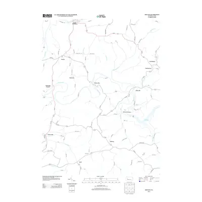
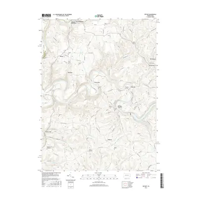
 - 1968 Map of Mosgrove, 1972 Print
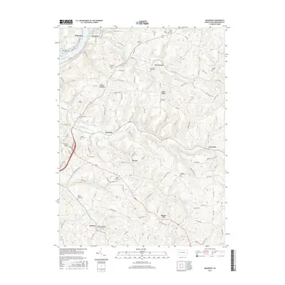
 1968 Mosgrove1972 Print · USGSArmstrong County in the late 1960s shows a landscape of rail-and-river transport and burgeoning energy extraction. Trace ancestral roots through rural sites like Rupp Cem, Pine Furnace, and the old Township Sch near Sunnyside.4 unique versions available
 - 1969 Map of Rural Valley, 1972 Print
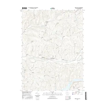
 1969 Rural Valley1972 Print · USGSArmstrong County's mining and gas-drilling heritage is on full display in the late sixties. Genealogists and historians can trace family roots near Rural Valley, NuMine, and Yatesboro, or locate rural churches like St Michaels Ch.3 unique versions available
 - 1969 Map of Distant, 1972 Print
 1969 Distant1972 Print · USGSArmstrong County is shaped by heavy industry and deep river valleys in the late sixties, just as the regional landscape was being transformed by resource extraction. Genealogists can trace family roots through sites like Oakland Cem or Jerusalem Ch while following the path of the Penn Central through South Bethlehem.3 unique versions available
 - 1969 Map of Templeton, 1972 Print
 1969 Templeton1972 Print · USGSArmstrong and Clarion Counties are mapped here in the late sixties, showing a landscape defined by mining and river commerce. Researchers can trace the rail paths of the Pittsburg and Shawmut, locate old Coke Ovens, and find family sites like Duncan Cem.4 unique versions available
 - 1983 Map of Indiana
 1983 Indiana1983 Print · USGSWestern Pennsylvania in the early eighties shows a landscape of industrial river towns and expanding university campuses. Genealogists can trace family roots through Lucernemines and Spring Church, or locate ancestors in Oakland Cemetery.
 - 2010 Map of Rural Valley, 2010 Print
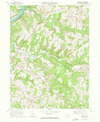
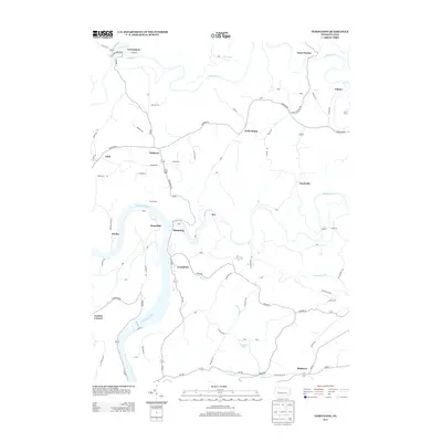
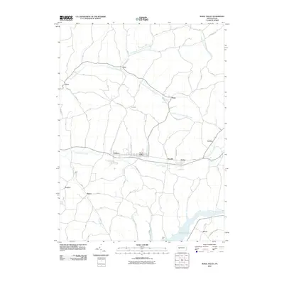 2010 Rural Valley2010 Print · USGSCovers Boggs Township, including Rural Valley, Atwood, and other nearby areas
 - 2010 Map of Templeton, 2010 Print
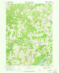
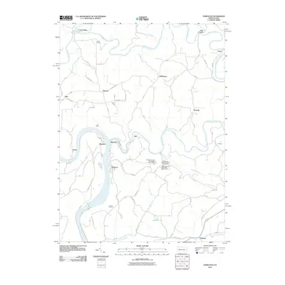 2010 Templeton2010 Print · USGSCovers Boggs Township, including Mahoning, Washington Township, and other nearby areas
 - 2010 Map of Distant, 2010 Print
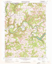
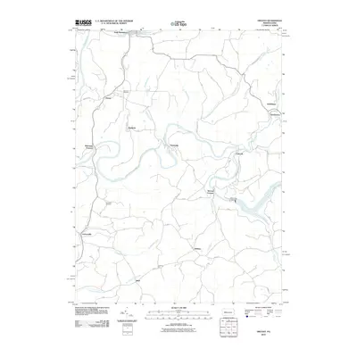 2010 Distant2010 Print · USGSCovers Boggs Township, including South Bethlehem, Belknap, and other nearby areas
 - 2010 Map of Mosgrove, 2010 Print
 2010 Mosgrove2010 Print · USGSCovers Boggs Township, including Cowanshannock Township, West Valley, and other nearby areas
 - 2013 Map of Distant, 2013 Print
 2013 Distant2013 Print · USGSCovers Boggs Township, including South Bethlehem, Belknap, and other nearby areas
 - 2013 Map of Mosgrove, 2013 Print
 2013 Mosgrove2013 Print · USGSCovers Boggs Township, including Cowanshannock Township, West Valley, and other nearby areas
 - 2013 Map of Templeton, 2013 Print
 2013 Templeton2013 Print · USGSCovers Boggs Township, including Mahoning, Washington Township, and other nearby areas
 - 2013 Map of Rural Valley, 2013 Print
 2013 Rural Valley2013 Print · USGSCovers Boggs Township, including Rural Valley, Atwood, and other nearby areas
 - 2016 Map of Rural Valley, 2016 Print
 2016 Rural Valley2016 Print · USGSCovers Boggs Township, including Rural Valley, Atwood, and other nearby areas
 - 2016 Map of Distant, 2016 Print
 2016 Distant2016 Print · USGSCovers Boggs Township, including South Bethlehem, Belknap, and other nearby areas
 - 2016 Map of Mosgrove, 2016 Print
 2016 Mosgrove2016 Print · USGSCovers Boggs Township, including Cowanshannock Township, West Valley, and other nearby areas
 - 2016 Map of Templeton, 2016 Print
 2016 Templeton2016 Print · USGSCovers Boggs Township, including Mahoning, Washington Township, and other nearby areas
 - 2019 Map of Distant, 2019 Print
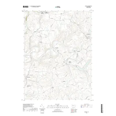 2019 Distant2019 Print · USGSCovers Boggs Township, including South Bethlehem, Belknap, and other nearby areas
Showing maps 1-25 of 32
Top cities near Boggs Township
- Kittanning historical maps
- Ford City historical maps
- North Buffalo Township historical maps
- Limestone Township historical maps
- West Kittanning historical maps
- Mahoning historical maps
See more
Top neighborhoods of Boggs Township
Frequently asked questions
- What are the different types of historical maps available for Boggs Township?
- What is the oldest map of Boggs Township?
- Where can I purchase historical maps of Boggs Township for my home or office?
- Where can I download high-res historical maps of Boggs Township?
- Are there historical topographic maps available for Boggs Township?
- Is there historical aerial imagery available for Boggs Township?
- Where are historical maps of Boggs Township sourced from?