2000s (21st Century) Maps of East Franklin Township, Pennsylvania
Explore 20 historic maps of East Franklin Township from the 2000s (21st Century). These maps offer a rare glimpse into what life looked like during the 2000s — showing old roads, neighborhoods, homes, and landmarks that have changed or disappeared over time.
Whether you're researching your family's past, planning a metal detecting trip, or studying how East Franklin Township's landscape evolved across the 2000s, these high-resolution maps are a powerful tool for exploring the history of this region.
- Focus on a specific era: All maps on this page are from the 2000s, giving you a focused view of this time period.
- See what’s changed: Compare century-old streets, trails, and buildings to today's modern landscape using overlays and satellite layers.
- Research with precision: Use these maps for genealogy, historical research, land use analysis, or educational projects.
- View, download, or print: Maps are fully viewable online in high resolution, and can be downloaded or printed for your own records.
Start exploring East Franklin Township's history through authentic maps from the 2000s. This is your window into the past.
East Franklin Township, PA maps
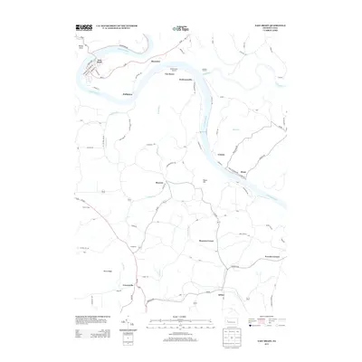
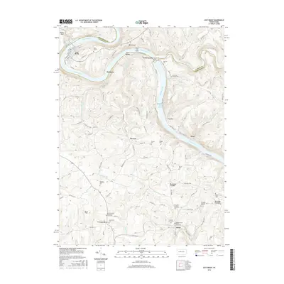
(20)- 2010 Map of East Brady, 2010 Print
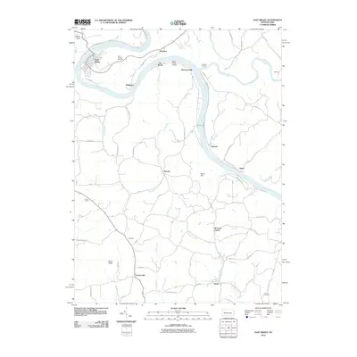 2010 East Brady2010 Print · USGSCovers East Franklin Township, including East Brady, Bradys Bend Township, and other nearby areas
 - 2010 Map of Templeton, 2010 Print
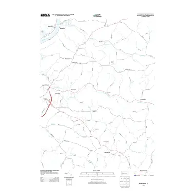
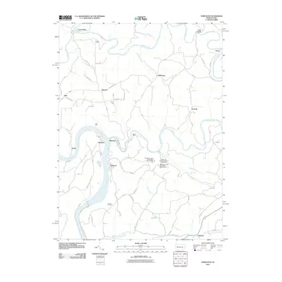 2010 Templeton2010 Print · USGSCovers East Franklin Township, including Mahoning, Washington Township, and other nearby areas
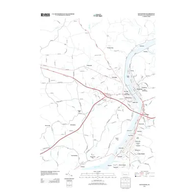
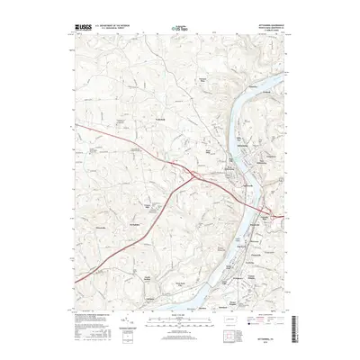
 - 2010 Map of Kittanning, 2010 Print
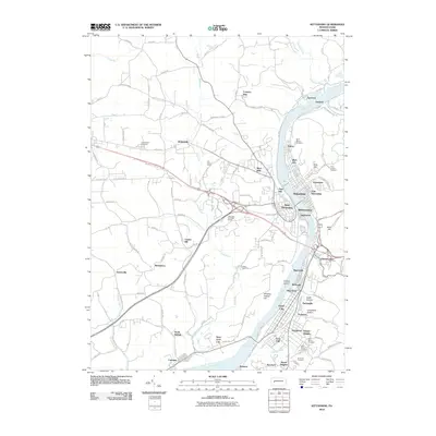 2010 Kittanning2010 Print · USGSCovers East Franklin Township, including Kittanning, Ford City, and other nearby areas
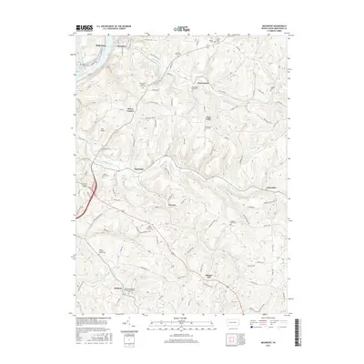
 - 2010 Map of Mosgrove, 2010 Print
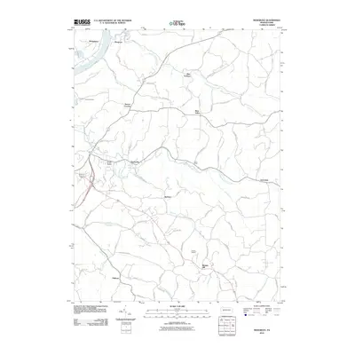 2010 Mosgrove2010 Print · USGSCovers East Franklin Township, including Cowanshannock Township, West Valley, and other nearby areas
 - 2013 Map of Mosgrove, 2013 Print
 2013 Mosgrove2013 Print · USGSCovers East Franklin Township, including Cowanshannock Township, West Valley, and other nearby areas
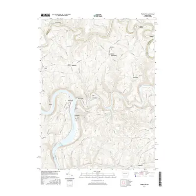
 - 2013 Map of Templeton, 2013 Print
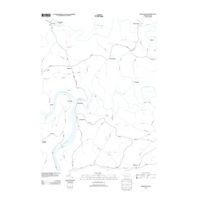 2013 Templeton2013 Print · USGSCovers East Franklin Township, including Mahoning, Washington Township, and other nearby areas
 - 2013 Map of East Brady, 2013 Print
 2013 East Brady2013 Print · USGSCovers East Franklin Township, including East Brady, Bradys Bend Township, and other nearby areas
 - 2013 Map of Kittanning, 2013 Print
 2013 Kittanning2013 Print · USGSCovers East Franklin Township, including Kittanning, Ford City, and other nearby areas
 - 2016 Map of East Brady, 2016 Print
 2016 East Brady2016 Print · USGSCovers East Franklin Township, including East Brady, Bradys Bend Township, and other nearby areas
 - 2016 Map of Mosgrove, 2016 Print
 2016 Mosgrove2016 Print · USGSCovers East Franklin Township, including Cowanshannock Township, West Valley, and other nearby areas
 - 2016 Map of Templeton, 2016 Print
 2016 Templeton2016 Print · USGSCovers East Franklin Township, including Mahoning, Washington Township, and other nearby areas
 - 2016 Map of Kittanning, 2016 Print
 2016 Kittanning2016 Print · USGSCovers East Franklin Township, including Kittanning, Ford City, and other nearby areas
 - 2019 Map of Mosgrove, 2019 Print
 2019 Mosgrove2019 Print · USGSCovers East Franklin Township, including Cowanshannock Township, West Valley, and other nearby areas
 - 2019 Map of Kittanning, 2019 Print
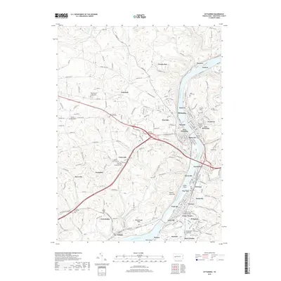 2019 Kittanning2019 Print · USGSCovers East Franklin Township, including Kittanning, Ford City, and other nearby areas
 - 2019 Map of East Brady, 2019 Print
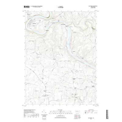 2019 East Brady2019 Print · USGSCovers East Franklin Township, including East Brady, Bradys Bend Township, and other nearby areas
 - 2019 Map of Templeton, 2019 Print
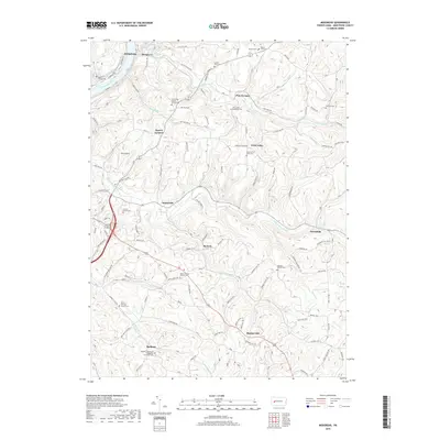
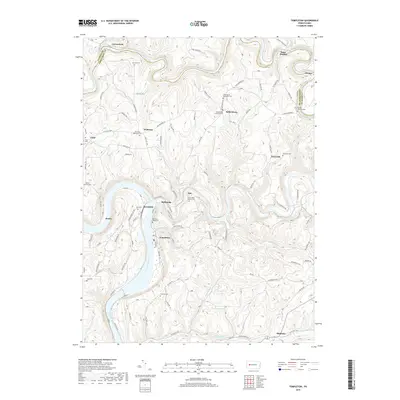 2019 Templeton2019 Print · USGSCovers East Franklin Township, including Mahoning, Washington Township, and other nearby areas
 - 2023 Map of Templeton, 2023 Print
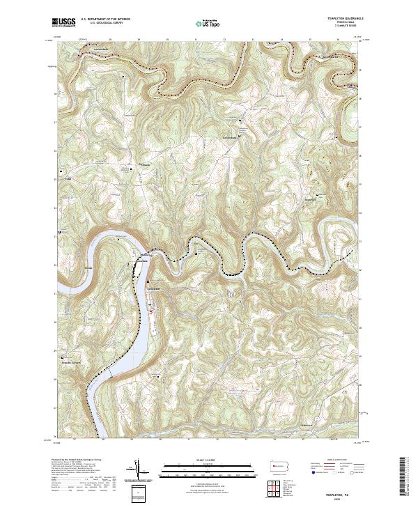 2023 Templeton2023 Print · USGSThe river valleys of Armstrong County come into focus in the 2020s, showing the enduring layout of the Pennsylvania countryside. Researchers can trace family history through a dense network of burial sites, including Stewardson Furnace Cem, Tidal Cem, and Walthour Cem.
 - 2023 Map of East Brady, 2023 Print
 2023 East Brady2023 Print · USGSThe Allegheny River valley in western Pennsylvania is shown here in its modern rural character, bridging the Clarion and Armstrong county line. Genealogists can locate numerous family burial sites such as Crissman Family Cem and Croyle Cem near Adrian and Cowansville.
 - 2023 Map of Mosgrove, 2023 Print
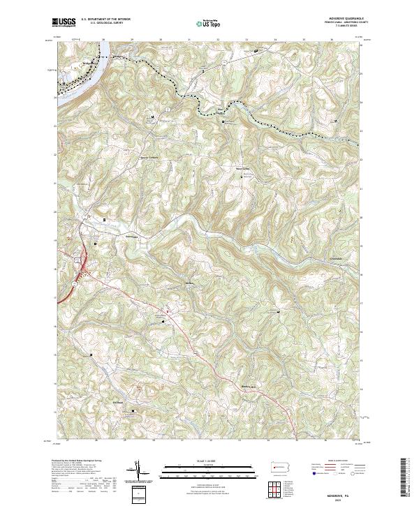 2023 Mosgrove2023 Print · USGSThe hill country of Armstrong County is seen here in recent detail, where winding creek valleys meet a dense network of country roads. Genealogists can trace family roots through numerous rural landmarks like Mount Union Davis Cem, Blanket Hill, and Pine Furnace.
 - 2023 Map of Kittanning, 2023 Print
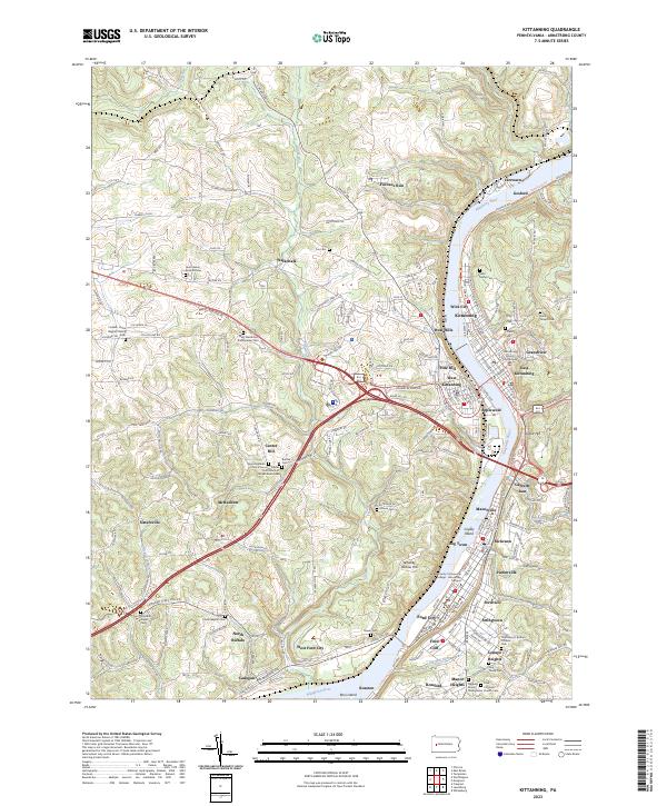 2023 Kittanning2023 Print · USGSThe Allegheny River valley comes into sharp focus during this modern era, showing the dense settlement patterns from Kittanning to Ford City. Researchers can trace local heritage through sites like the Armstrong County Courthouse and numerous burial grounds including Saint Marys Cem and Lawn Haven Burial Estates.
End of results
Showing maps 1-20 of 20
Top cities near East Franklin Township
- Harrison Township historical maps
- Kittanning historical maps
- Ford City historical maps
- North Buffalo Township historical maps
- Leechburg historical maps
- Freeport historical maps
See more
Top neighborhoods of East Franklin Township
- Bridgeburg historical maps
- Adrian historical maps
- Cowansville historical maps
- Furnace Run historical maps
- West Hills historical maps
- Williamsburg historical maps
See more
Frequently asked questions
- What are the different types of historical maps available for East Franklin Township?
- What is the oldest map of East Franklin Township?
- Where can I purchase historical maps of East Franklin Township for my home or office?
- Where can I download high-res historical maps of East Franklin Township?
- Are there historical topographic maps available for East Franklin Township?
- Is there historical aerial imagery available for East Franklin Township?
- Where are historical maps of East Franklin Township sourced from?