Old Maps of South Bend Township, Pennsylvania for Academic Research
Study the evolution of South Bend Township with 33 high-resolution historic maps. Whether you're teaching, researching, or modeling changes in land use, these maps provide essential visual documentation of urban, environmental, and geographic change.
- Analyze long-term change: Track patterns in development, transportation, and natural features.
- Ideal for environmental or urban studies: Support academic projects with primary historical map data.
- Use in the classroom or lab: Educators and researchers rely on these maps to bring historical context to life.
These maps are a powerful tool for teaching, research, and visualizing how South Bend Township has changed over the decades.
South Bend Township, PA maps
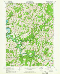
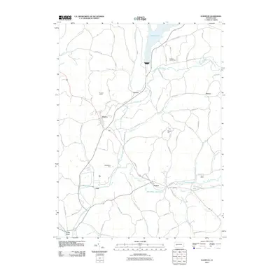
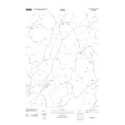
(33)- 1902 Map of Elders Ridge, 1957 Print
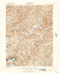 1902 Elders Ridge1957 Print · USGSWestern Pennsylvania at the turn of the century reveals a landscape of deep valleys and rising industrial rail lines. Genealogists can trace family roots through rural hubs like Brick Church, Elderton, and the namesake village of Elders Ridge.2 unique versions available
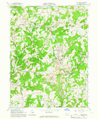
 - 1904 Map of Elders Ridge
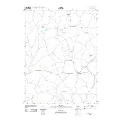
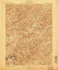 1904 Elders Ridge1904 Print · USGSArmstrong and Indiana Counties are shown here during the early 1900s, when the river-and-rail economy dominated the valley floor. Researchers can trace ancestral roots through rural hamlets like Elders Ridge, Cochran Mills, and Shelocta, or follow the Western Pennsylvania Division (P. R. R.) along the Kiskiminitas River.5 unique versions available
 - 1953 Map of Pittsburgh
 1953 Pittsburgh1953 Print · USGSWestern Pennsylvania's industrial landscape at the start of the fifties shows the steel and rail corridors between Pittsburgh and Altoona. Trace family roots in river towns like Tarentum or follow the Pennsylvania Turnpike across Laurel Hill.
 - 1954 Map of Pittsburgh
 1954 Pittsburgh1954 Print · USGSWestern Pennsylvania in the early fifties remains a powerhouse of heavy industry and vital transit corridors. Genealogists and historians can trace the rail-and-river network connecting Pittsburgh, Johnstown, and Altoona via the Pennsylvania RR and the Lincoln Highway.2 unique versions available
 - 1958 Map of Pittsburgh
 1958 Pittsburgh1958 Print · USGSWestern Pennsylvania in the late fifties shows an industrial heartland defined by the confluence of the Allegheny River and Monongahela River. Researchers can trace the sprawling rail networks of the Pennsylvania RR and find established towns like Butler, Latrobe, and Windber.5 unique versions available
 - 1959 Map of Pittsburgh
 1959 Pittsburgh1959 Print · USGSWestern Pennsylvania in the late fifties is captured here at the height of its industrial era. Genealogists and historians can trace the riverfront growth of Pittsburgh, the rail works at Altoona, and the mountain gaps of Laurel Hill.
 - 1964 Map of Pittsburgh
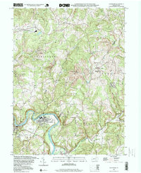
 1964 Pittsburgh1964 Print · USGSWestern Pennsylvania in the late fifties and early sixties shows a landscape of powerful river industries and expanding highways. Genealogists and historians can trace the rail corridors of the Pennsylvania RR through industrial hubs like Johnstown, Altoona, and Nanty Glo.
 - 1964 Map of Avonmore, 1966 Print
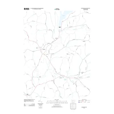
 1964 Avonmore1966 Print · USGSThe coal and gas country of the Kiskiminetas valley is captured here in the mid-sixties as extraction and industry shaped local life. Researchers can trace the Pennsylvania Railroad through Avonmore and locate community landmarks like Elders Ridge Joint High Sch and Clarksburg Ch.4 unique versions available
 - 1964 Map of Elderton, 1966 Print
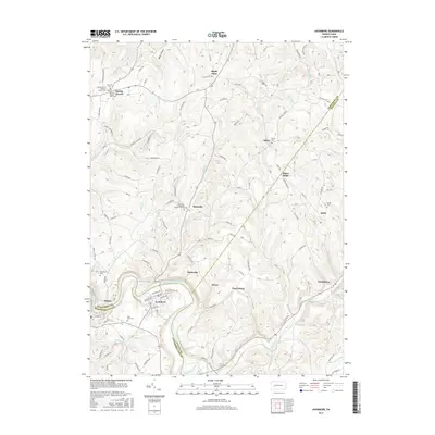
 1964 Elderton1966 Print · USGSThe Armstrong and Indiana county border comes alive in the mid-sixties, showing a landscape of deep valleys and expanding gas fields. Researchers can locate family sites near Elderton, trace the Baltimore and Ohio line, or find Salem Ch and St Jacobs Ch.3 unique versions available
 - 1964 Map of Whitesburg, 1966 Print
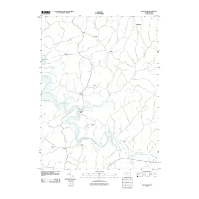
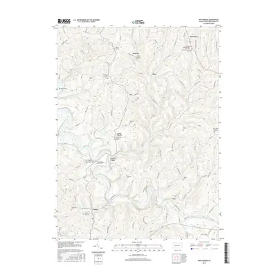
 1964 Whitesburg1966 Print · USGSArmstrong County in the mid-1960s was defined by winding waterways and a robust rural extraction economy. Genealogists and historians can trace the foundations of local communities like Brick Church, Whitesburg, and Cochrans Mills alongside numerous family-named cemeteries and gas wells.4 unique versions available
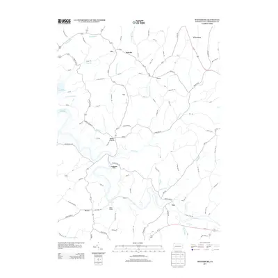
 - 1964 Map of Mc Intyre, 1966 Print
 1964 Mc Intyre1966 Print · USGSIndiana and Armstrong counties in the mid-sixties reveal a landscape defined by coal and gas extraction. Genealogists and historians can trace the rail-linked mining towns of Mc Intyre and Coal Run or locate the West Lebanon Cem and Ebenezer Ch.4 unique versions available
 - 1983 Map of Indiana
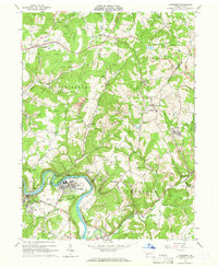
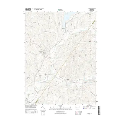
 1983 Indiana1983 Print · USGSWestern Pennsylvania in the early eighties shows a landscape of industrial river towns and expanding university campuses. Genealogists can trace family roots through Lucernemines and Spring Church, or locate ancestors in Oakland Cemetery.
 - 1998 Map of Avonmore, 1999 Print
 1998 Avonmore1999 Print · USGSThe loop of the Kiskiminetas River defines this landscape in the late nineties, where coal-rich townships meet the river's bend. Genealogists and historians can trace the foundations of local life through the Spring Church, West View Cem, and the Elders Ridge Joint High Sch.
 - 2010 Map of Avonmore, 2010 Print
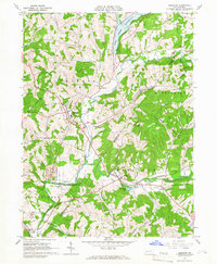
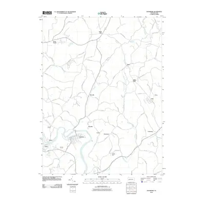 2010 Avonmore2010 Print · USGSCovers South Bend Township, including Avonmore, Burrell Township, and other nearby areas
 - 2010 Map of Elderton, 2010 Print
 2010 Elderton2010 Print · USGSCovers South Bend Township, including Elderton, Shelocta, and other nearby areas
 - 2010 Map of McIntyre, 2010 Print
 2010 McIntyre2010 Print · USGSCovers South Bend Township, including Black Lick Township, Armstrong Township, and other nearby areas
 - 2010 Map of Whitesburg, 2010 Print
 2010 Whitesburg2010 Print · USGSCovers South Bend Township, including Burrell Township, Mateer, and other nearby areas
 - 2013 Map of Elderton, 2013 Print
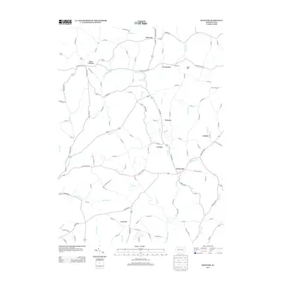
 2013 Elderton2013 Print · USGSCovers South Bend Township, including Elderton, Shelocta, and other nearby areas
 - 2013 Map of Avonmore, 2013 Print
 2013 Avonmore2013 Print · USGSCovers South Bend Township, including Avonmore, Burrell Township, and other nearby areas
 - 2013 Map of Whitesburg, 2013 Print
 2013 Whitesburg2013 Print · USGSCovers South Bend Township, including Burrell Township, Mateer, and other nearby areas
 - 2013 Map of McIntyre, 2013 Print
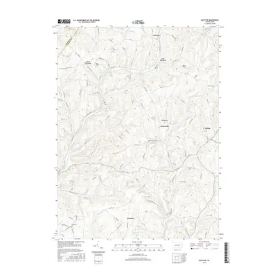
 2013 McIntyre2013 Print · USGSCovers South Bend Township, including Black Lick Township, Armstrong Township, and other nearby areas
 - 2016 Map of McIntyre, 2016 Print
 2016 McIntyre2016 Print · USGSCovers South Bend Township, including Black Lick Township, Armstrong Township, and other nearby areas
 - 2016 Map of Whitesburg, 2016 Print
 2016 Whitesburg2016 Print · USGSCovers South Bend Township, including Burrell Township, Mateer, and other nearby areas
 - 2016 Map of Elderton, 2016 Print
 2016 Elderton2016 Print · USGSCovers South Bend Township, including Elderton, Shelocta, and other nearby areas
 - 2016 Map of Avonmore, 2016 Print
 2016 Avonmore2016 Print · USGSCovers South Bend Township, including Avonmore, Burrell Township, and other nearby areas
Showing maps 1-25 of 33
Top cities near South Bend Township
- White historical maps
- Indiana historical maps
- Vandergrift historical maps
- Kittanning historical maps
- Blairsville historical maps
- Rayne Township historical maps
See more
Top neighborhoods of South Bend Township
Frequently asked questions
- What are the different types of historical maps available for South Bend Township?
- What is the oldest map of South Bend Township?
- Where can I purchase historical maps of South Bend Township for my home or office?
- Where can I download high-res historical maps of South Bend Township?
- Are there historical topographic maps available for South Bend Township?
- Is there historical aerial imagery available for South Bend Township?
- Where are historical maps of South Bend Township sourced from?