2000s (21st Century) Maps of Beaver County, Pennsylvania
Explore 27 historic maps of Beaver County from the 2000s (21st Century). These maps offer a rare glimpse into what life looked like during the 2000s — showing old roads, neighborhoods, homes, and landmarks that have changed or disappeared over time.
Whether you're researching your family's past, planning a metal detecting trip, or studying how Beaver County's landscape evolved across the 2000s, these high-resolution maps are a powerful tool for exploring the history of this region.
- Focus on a specific era: All maps on this page are from the 2000s, giving you a focused view of this time period.
- See what’s changed: Compare century-old streets, trails, and buildings to today's modern landscape using overlays and satellite layers.
- Research with precision: Use these maps for genealogy, historical research, land use analysis, or educational projects.
- View, download, or print: Maps are fully viewable online in high resolution, and can be downloaded or printed for your own records.
Start exploring Beaver County's history through authentic maps from the 2000s. This is your window into the past.
Beaver County, PA maps
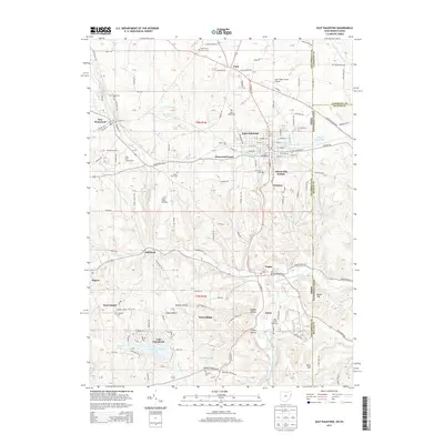
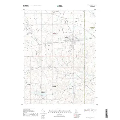
(27)- 2010 Map of East Palestine, 2010 Print
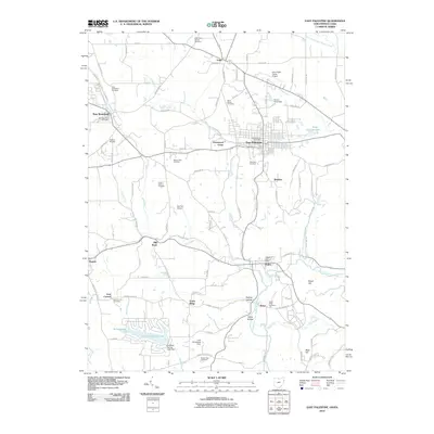 2010 East Palestine2010 Print · USGSCovers Beaver County, including Unity, East Palestine, and other nearby areas
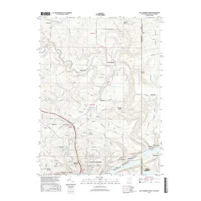
 - 2011 Map of East Liverpool North, 2011 Print
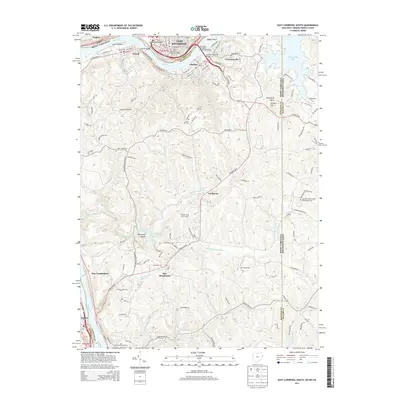
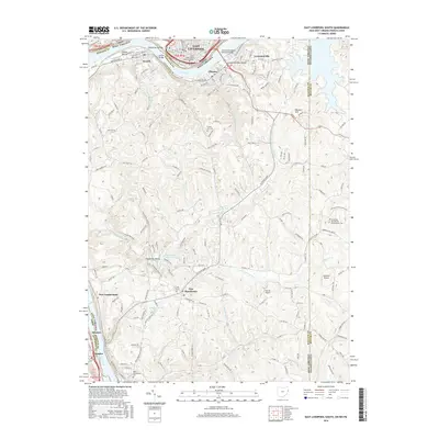
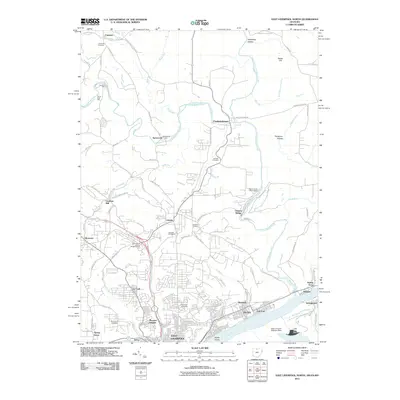 2011 East Liverpool North2011 Print · USGSCovers Beaver County, including East Liverpool, Glasgow, and other nearby areas
 - 2011 Map of East Liverpool South, 2011 Print
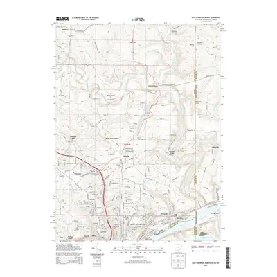
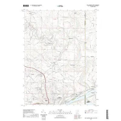
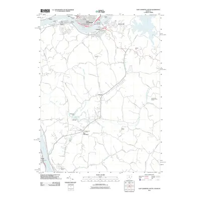 2011 East Liverpool South2011 Print · USGSCovers Beaver County, including East Liverpool, Chester, and other nearby areas
 - 2013 Map of East Palestine, 2013 Print
 2013 East Palestine2013 Print · USGSCovers Beaver County, including Unity, East Palestine, and other nearby areas
 - 2013 Map of East Liverpool South, 2013 Print
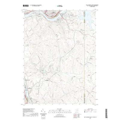
 2013 East Liverpool South2013 Print · USGSCovers Beaver County, including East Liverpool, Chester, and other nearby areas
 - 2013 Map of East Liverpool North, 2013 Print
 2013 East Liverpool North2013 Print · USGSCovers Beaver County, including East Liverpool, Glasgow, and other nearby areas
 - 2016 Map of East Liverpool South, 2016 Print
 2016 East Liverpool South2016 Print · USGSCovers Beaver County, including East Liverpool, Chester, and other nearby areas
 - 2016 Map of East Palestine, 2016 Print
 2016 East Palestine2016 Print · USGSCovers Beaver County, including Unity, East Palestine, and other nearby areas
 - 2016 Map of East Liverpool North, 2016 Print
 2016 East Liverpool North2016 Print · USGSCovers Beaver County, including East Liverpool, Glasgow, and other nearby areas
 - 2019 Map of East Liverpool North, 2019 Print
 2019 East Liverpool North2019 Print · USGSCovers Beaver County, including East Liverpool, Glasgow, and other nearby areas
 - 2019 Map of East Palestine, 2019 Print
 2019 East Palestine2019 Print · USGSCovers Beaver County, including Unity, East Palestine, and other nearby areas
 - 2019 Map of East Liverpool South, 2019 Print
 2019 East Liverpool South2019 Print · USGSCovers Beaver County, including East Liverpool, Chester, and other nearby areas
 - 2023 Map of Hookstown, 2023 Print
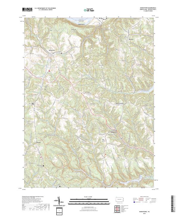 2023 Hookstown2023 Print · USGSBeaver County's southern hills and river valleys are captured here in the modern era, stretching from the banks of the Ohio River to the forests of Raccoon Creek State Park. Researchers can trace old family sites at Hookstown Cem or follow the waters of Little Traverse Creek near Mechanicsburg.
 - 2023 Map of Baden, 2023 Print
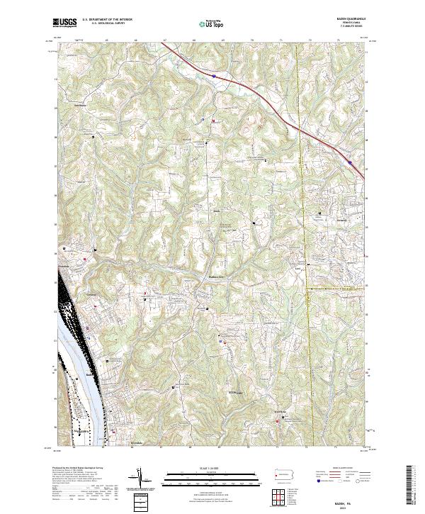 2023 Baden2023 Print · USGSThe industrial river towns of Beaver County meet the upland ridges of southwestern Pennsylvania in this recent topographical study. Genealogists can locate family burial sites like Cron's German Lutheran Church Cem and Rehoboth Cem or trace the early paths of Crows Run and Snake Run.
 - 2023 Map of Burgettstown, 2023 Print
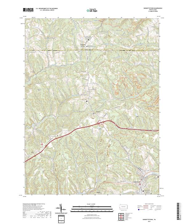 2023 Burgettstown2023 Print · USGSThe rolling hills of Washington County are shown here in the 2020s, revealing a landscape of historic cemeteries and quiet boroughs. Researchers can locate the Old Burgettstown Presbyterian Graveyard and trace the paths of Harmon Creek and Aunt Clara Fork.
 - 2023 Map of Zelienople, 2023 Print
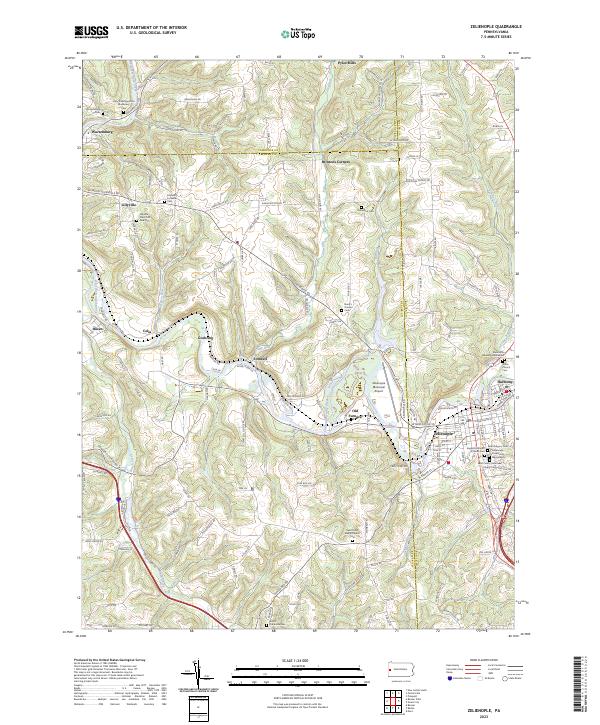 2023 Zelienople2023 Print · USGSModern-day Butler County maintains its deep communal roots where Zelienople and Harmony meet. Researchers can trace local history through dozens of named sites like the Mennonite Meeting House and the Old Furnace settlement.
 - 2023 Map of Beaver Falls, 2023 Print
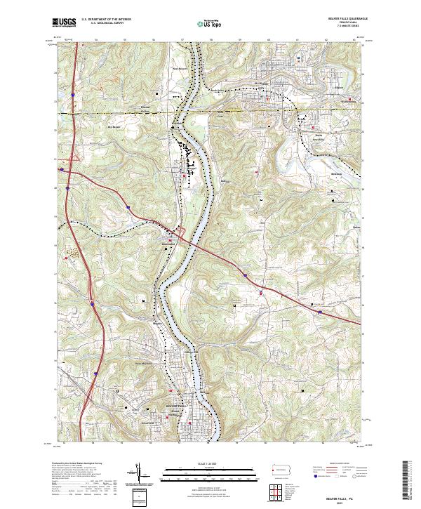 2023 Beaver Falls2023 Print · USGSThe industrial corridor of the Beaver River and its surrounding valleys are mapped here in the early twenty-first century. Researchers can trace historic family burial sites at Homewood Cem and Alcorn Cem or locate the historic grounds of Geneva College.
 - 2023 Map of Midland, 2023 Print
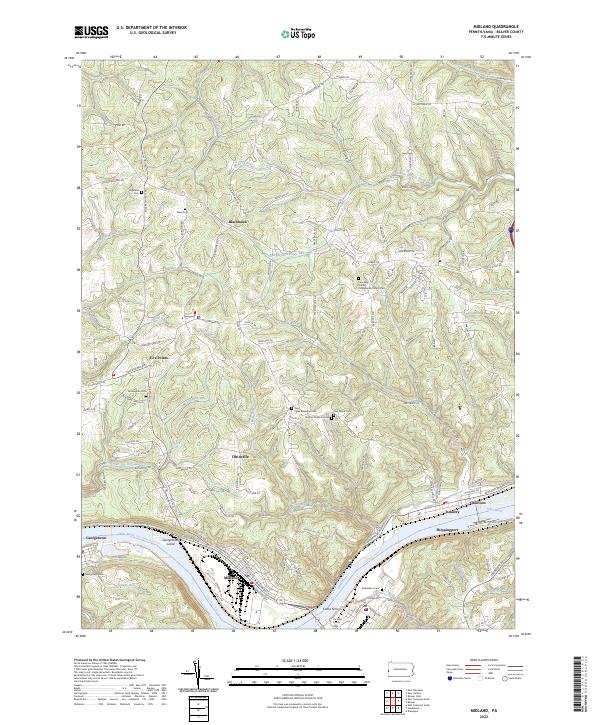 2023 Midland2023 Print · USGSBeaver County’s industrial riverfront and wooded uplands are captured here in the early twenty-first century. Genealogists can trace family footprints at the Knights Burial Ground, Bethlehem Cem, and the historic Four Mile United Presbyterian Church.
 - 2023 Map of Beaver, 2023 Print
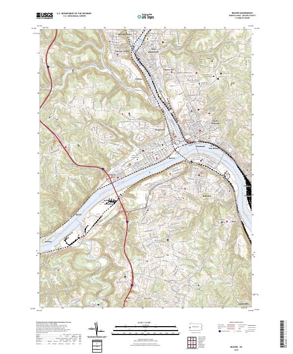 2023 Beaver2023 Print · USGSThe confluence of the Beaver and Ohio Rivers defines this industrial corridor during the early twenty-first century. Researchers can trace the civic layout of Beaver and its Beaver County Courthouse or locate old burial sites like Lacock Cem and Saint Joseph Catholic Cem.
 - 2023 Map of Aliquippa, 2023 Print
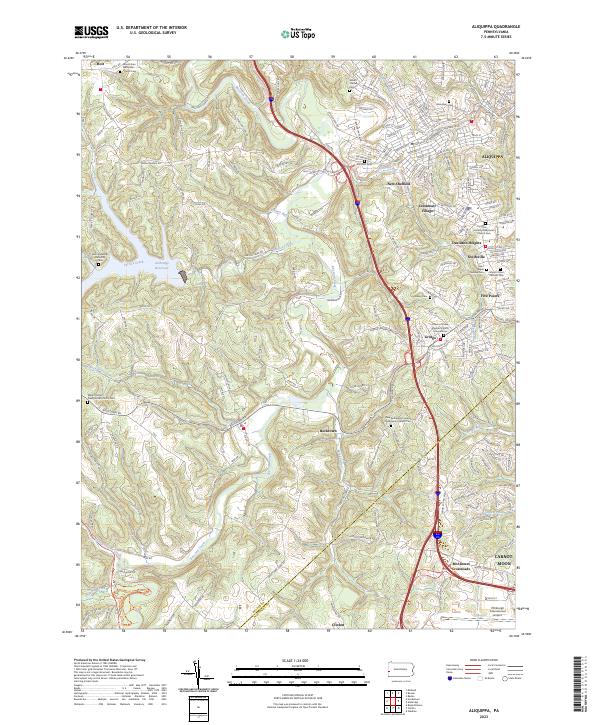 2023 Aliquippa2023 Print · USGSThis part of Beaver County shows the suburban and rural landscape south of the Ohio River in recent years. Genealogists can trace family names at the Saint Elijah Serbian Cem or follow the waters of Raccoon Creek past McAlisters Crossroads.
 - 2023 Map of Ambridge, 2023 Print
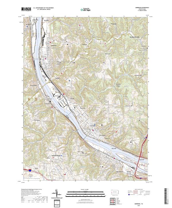 2023 Ambridge2023 Print · USGSThe Ohio River corridor at the Beaver and Allegheny county line shows its industrial and educational character in the early 2020s. Researchers can trace historic cemeteries like Economy Cem or locate the sprawling Robert Morris University.
 - 2023 Map of Clinton, 2023 Print
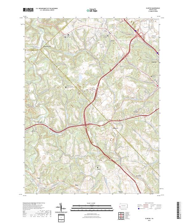 2023 Clinton2023 Print · USGSAllegheny and Washington Counties meet in this modern survey of western Pennsylvania's rolling hills and airport outskirts. Researchers can locate family sites like the James and Cecilia Henderson Family Cem and the historic Steubenville Pike.
 - 2023 Map of New Galilee, 2023 Print
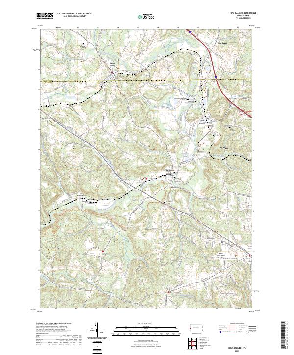 2023 New Galilee2023 Print · USGSThe borderlands of Lawrence and Beaver County are shown here in modern detail, focusing on the communities of Enon Valley and New Galilee. Genealogists and historians can trace local heritage through several family and church burial grounds, including White Family Cem and Rocky Spring Cem.
 - 2023 Map of Weirton, 2023 Print
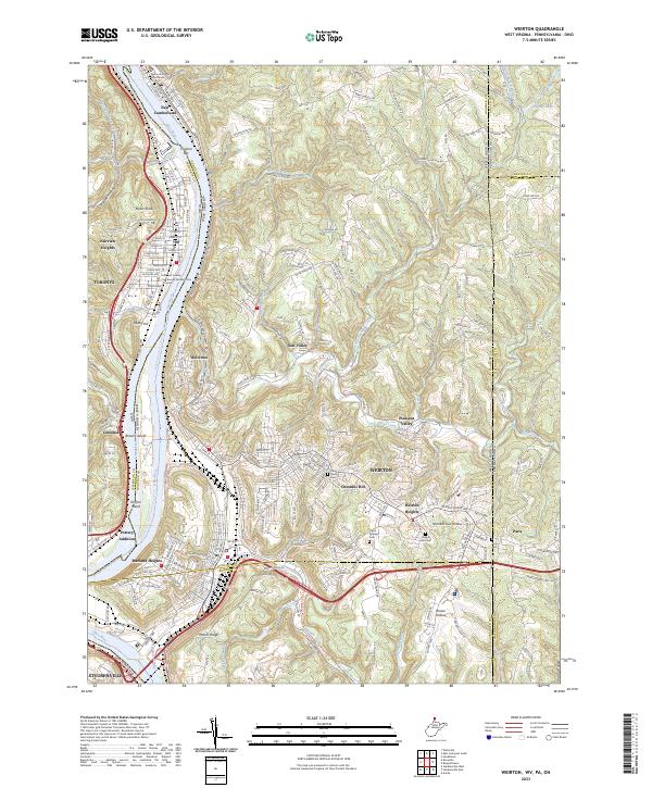 2023 Weirton2023 Print · USGSThe industrial heart of the Ohio River valley is shown here in the 2020s, spanning the border between West Virginia, Ohio, and Pennsylvania. Researchers can trace the layout of WEIRTON neighborhoods from Marland Heights to Pottery Addition, or locate historic sites like Union Cem and Saint Pauls Cem.
 - 2023 Map of East Liverpool North, 2023 Print
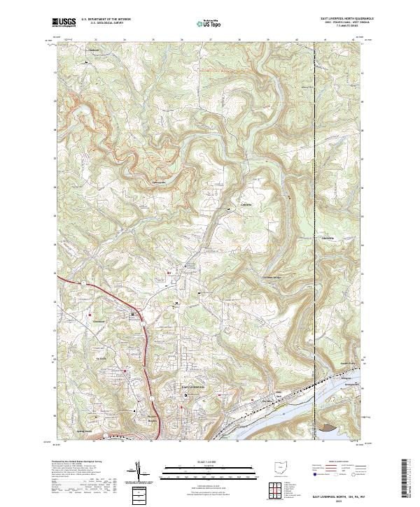 2023 East Liverpool North2023 Print · USGSThe tri-state border region comes alive in this contemporary map, showing the dense settlement of the upper Ohio River valley. Genealogists and historians can trace family roots through several well-marked burial sites like Riverview Cemetery and Calcutta Cemetery.
Showing maps 1-25 of 27
Top cities of Beaver County
- Center Township historical maps
- Aliquippa historical maps
- Beaver Falls historical maps
- Economy historical maps
- Ambridge historical maps
- Monaca historical maps
See more
Frequently asked questions
- What are the different types of historical maps available for Beaver County?
- What is the oldest map of Beaver County?
- Where can I purchase historical maps of Beaver County for my home or office?
- Where can I download high-res historical maps of Beaver County?
- Are there historical topographic maps available for Beaver County?
- Is there historical aerial imagery available for Beaver County?
- Where are historical maps of Beaver County sourced from?