2000s (21st Century) Maps of Darlington Township, Pennsylvania
Explore 10 historic maps of Darlington Township from the 2000s (21st Century). These maps offer a rare glimpse into what life looked like during the 2000s — showing old roads, neighborhoods, homes, and landmarks that have changed or disappeared over time.
Whether you're researching your family's past, planning a metal detecting trip, or studying how Darlington Township's landscape evolved across the 2000s, these high-resolution maps are a powerful tool for exploring the history of this region.
- Focus on a specific era: All maps on this page are from the 2000s, giving you a focused view of this time period.
- See what’s changed: Compare century-old streets, trails, and buildings to today's modern landscape using overlays and satellite layers.
- Research with precision: Use these maps for genealogy, historical research, land use analysis, or educational projects.
- View, download, or print: Maps are fully viewable online in high resolution, and can be downloaded or printed for your own records.
Start exploring Darlington Township's history through authentic maps from the 2000s. This is your window into the past.
Darlington Township, PA maps
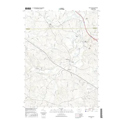
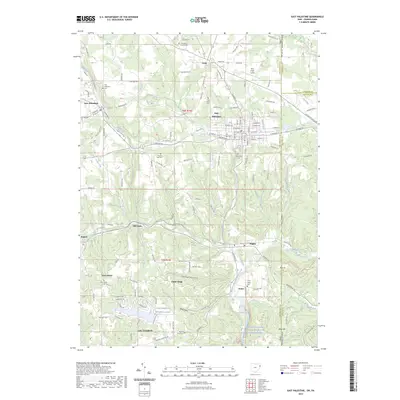
(10)- 2010 Map of New Galilee, 2010 Print
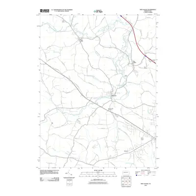 2010 New Galilee2010 Print · USGSCovers Darlington Township, including New Galilee, Enon Valley, and other nearby areas
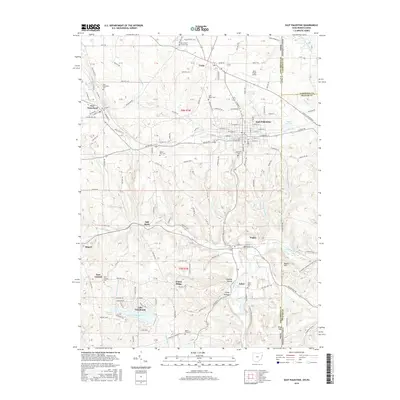
 - 2010 Map of East Palestine, 2010 Print
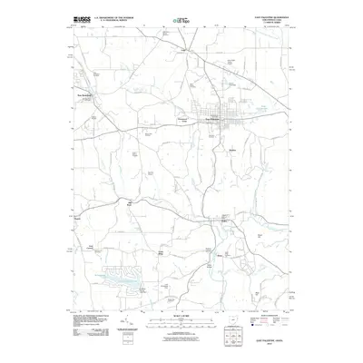 2010 East Palestine2010 Print · USGSCovers Darlington Township, including Unity, East Palestine, and other nearby areas
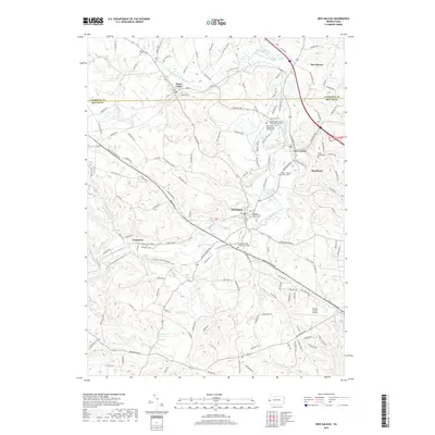
 - 2013 Map of New Galilee, 2013 Print
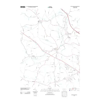 2013 New Galilee2013 Print · USGSCovers Darlington Township, including New Galilee, Enon Valley, and other nearby areas
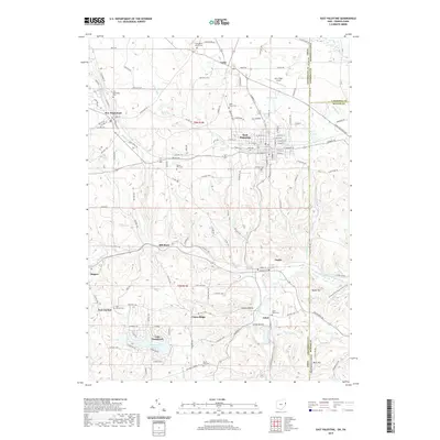
 - 2013 Map of East Palestine, 2013 Print
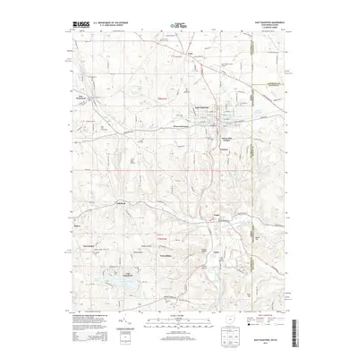 2013 East Palestine2013 Print · USGSCovers Darlington Township, including Unity, East Palestine, and other nearby areas
 - 2016 Map of New Galilee, 2016 Print
 2016 New Galilee2016 Print · USGSCovers Darlington Township, including New Galilee, Enon Valley, and other nearby areas
 - 2016 Map of East Palestine, 2016 Print
 2016 East Palestine2016 Print · USGSCovers Darlington Township, including Unity, East Palestine, and other nearby areas
 - 2019 Map of New Galilee, 2019 Print
 2019 New Galilee2019 Print · USGSCovers Darlington Township, including New Galilee, Enon Valley, and other nearby areas
 - 2019 Map of East Palestine, 2019 Print
 2019 East Palestine2019 Print · USGSCovers Darlington Township, including Unity, East Palestine, and other nearby areas
 - 2023 Map of New Galilee, 2023 Print
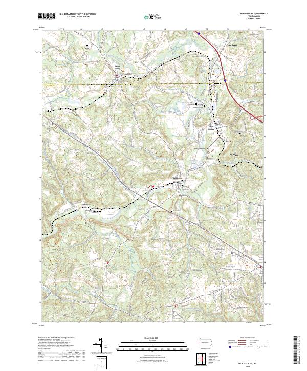 2023 New Galilee2023 Print · USGSThe borderlands of Lawrence and Beaver County are shown here in modern detail, focusing on the communities of Enon Valley and New Galilee. Genealogists and historians can trace local heritage through several family and church burial grounds, including White Family Cem and Rocky Spring Cem.
 - 2023 Map of East Palestine, 2023 Print
 2023 East Palestine2023 Print · USGSEast Palestine and its neighboring cross-border settlements are documented in this 2020s study of the Ohio-Pennsylvania state line. Genealogists can locate numerous local burial sites including Unity Brick Church Cem, Glenview Cem, and the historic Achor Valley Cem.
End of results
Showing maps 1-10 of 10
Top cities near Darlington Township
- Boardman historical maps
- New Castle historical maps
- East Liverpool historical maps
- Center Township historical maps
- Unity historical maps
- Struthers historical maps
See more
Top neighborhoods of Darlington Township
Frequently asked questions
- What are the different types of historical maps available for Darlington Township?
- What is the oldest map of Darlington Township?
- Where can I purchase historical maps of Darlington Township for my home or office?
- Where can I download high-res historical maps of Darlington Township?
- Are there historical topographic maps available for Darlington Township?
- Is there historical aerial imagery available for Darlington Township?
- Where are historical maps of Darlington Township sourced from?