Old Maps of Imlertown, Bedford Township for Metal Detecting
Plan your next treasure hunt with 14 historic maps of Imlertown. Find old homesites, ghost towns, trails, and gathering spots that may be lost to time — perfect for identifying promising metal detecting locations.
- Locate forgotten sites: Uncover places like long-lost settlements, abandoned rail lines, or gathering spots.
- Plan better hunts: Use map overlays combined with LiDAR or satellite views to narrow in on historically rich areas.
- Made for detectorists: Thousands of hobbyists use these maps to discover relics, coins, and hidden history.
Use these historic maps to boost your research and find new opportunities beneath the surface of Imlertown.
Imlertown, Bedford Township maps
(14)- 1900 Map of Everett, 1959 Print
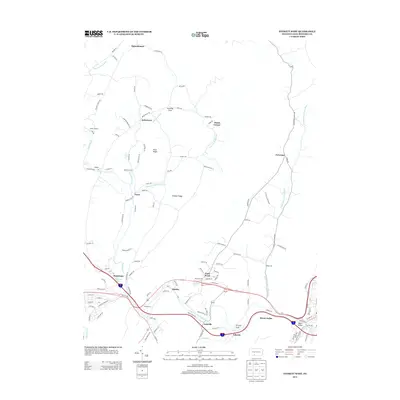
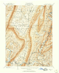 1900 Everett1959 Print · USGSBedford County at the turn of the century shows a landscape of deep limestone valleys and industrial river towns. Genealogists and historians can trace family-named sites and rail stops from Everett to New Enterprise and the river depot at Cypher Sta.
 - 1902 Map of Everett
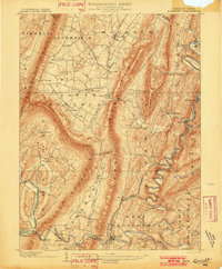 1902 Everett1902 Print · USGSBedford County at the start of the twentieth century shows a landscape of deep ridge-and-valley industry and isolated mountain coves. Genealogists and historians can trace old homesteads and rail stops near Everett, New Enterprise, and the Valley Mill along Snake Spring Run.7 unique versions available
 - 1953 Map of Pittsburgh
 1953 Pittsburgh1953 Print · USGSWestern Pennsylvania's industrial landscape at the start of the fifties shows the steel and rail corridors between Pittsburgh and Altoona. Trace family roots in river towns like Tarentum or follow the Pennsylvania Turnpike across Laurel Hill.
 - 1954 Map of Pittsburgh
 1954 Pittsburgh1954 Print · USGSWestern Pennsylvania in the early fifties remains a powerhouse of heavy industry and vital transit corridors. Genealogists and historians can trace the rail-and-river network connecting Pittsburgh, Johnstown, and Altoona via the Pennsylvania RR and the Lincoln Highway.2 unique versions available
 - 1958 Map of Pittsburgh
 1958 Pittsburgh1958 Print · USGSWestern Pennsylvania in the late fifties shows an industrial heartland defined by the confluence of the Allegheny River and Monongahela River. Researchers can trace the sprawling rail networks of the Pennsylvania RR and find established towns like Butler, Latrobe, and Windber.5 unique versions available
 - 1959 Map of Pittsburgh
 1959 Pittsburgh1959 Print · USGSWestern Pennsylvania in the late fifties is captured here at the height of its industrial era. Genealogists and historians can trace the riverfront growth of Pittsburgh, the rail works at Altoona, and the mountain gaps of Laurel Hill.
 - 1964 Map of Pittsburgh
 1964 Pittsburgh1964 Print · USGSWestern Pennsylvania in the late fifties and early sixties shows a landscape of powerful river industries and expanding highways. Genealogists and historians can trace the rail corridors of the Pennsylvania RR through industrial hubs like Johnstown, Altoona, and Nanty Glo.
 - 1968 Map of Everett West
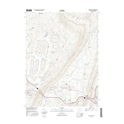
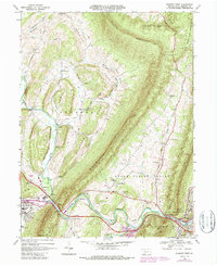 1968 Everett West1968 Print · USGSBedford County at the end of the sixties reveals a landscape of high ridges and deep valleys shaped by the Juniata River. Researchers can trace the path of the Pennsylvania Railroad and find rural landmarks like Chalybeate and Messiah Ch.5 unique versions available
 - 1981 Map of Johnstown, 1983 Print
 1981 Johnstown1983 Print · USGSSouth Central Pennsylvania is captured here in the early eighties, from the industrial heart of the Conemaugh Valley to the ridges of the Allegheny Front. Local historians can trace the rail corridors of Conrail and the growth of mountain communities like Ebensburg, Nanty Glo, and Windber.
 - 2010 Map of Everett West, 2010 Print
 2010 Everett West2010 Print · USGSCovers Imlertown, including Bedford, Everett, and other nearby areas
 - 2013 Map of Everett West, 2013 Print
 2013 Everett West2013 Print · USGSCovers Imlertown, including Bedford, Everett, and other nearby areas
 - 2016 Map of Everett West, 2016 Print
 2016 Everett West2016 Print · USGSCovers Imlertown, including Bedford, Everett, and other nearby areas
 - 2019 Map of Everett West, 2019 Print
 2019 Everett West2019 Print · USGSCovers Imlertown, including Bedford, Everett, and other nearby areas
 - 2023 Map of Everett West, 2023 Print
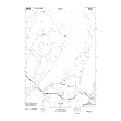
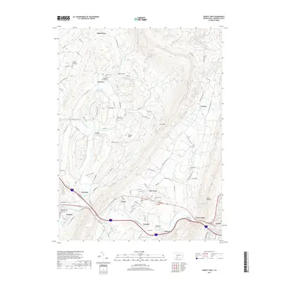
 2023 Everett West2023 Print · USGSThe valleys and ridges of Bedford County come into focus in this contemporary study of the Pennsylvania interior. Genealogists and historians can locate numerous family burial sites and rural landmarks, including the Reighard Farm Cem, Chalybeate Spring, and Lutzville.
End of results
Showing maps 1-14 of 14
Top cities near Imlertown
- Bedford historical maps
- Martinsburg historical maps
- Napier Township historical maps
- Everett historical maps
- King historical maps
- Saxton historical maps
See more
Frequently asked questions
- What are the different types of historical maps available for Imlertown?
- What is the oldest map of Imlertown?
- Where can I purchase historical maps of Imlertown for my home or office?
- Where can I download high-res historical maps of Imlertown?
- Are there historical topographic maps available for Imlertown?
- Is there historical aerial imagery available for Imlertown?
- Where are historical maps of Imlertown sourced from?