Old Maps of Bethel Township, Pennsylvania for Metal Detecting
Plan your next treasure hunt with 62 historic maps of Bethel Township. Find old homesites, ghost towns, trails, and gathering spots that may be lost to time — perfect for identifying promising metal detecting locations.
- Locate forgotten sites: Uncover places like long-lost settlements, abandoned rail lines, or gathering spots.
- Plan better hunts: Use map overlays combined with LiDAR or satellite views to narrow in on historically rich areas.
- Made for detectorists: Thousands of hobbyists use these maps to discover relics, coins, and hidden history.
Use these historic maps to boost your research and find new opportunities beneath the surface of Bethel Township.
Bethel Township, PA maps
(62)- 1889 Map of Pottsville, 1964 Print
 1889 Pottsville1964 Print · USGSAnthracite coal country and the complex rail networks of the late nineteenth century dominate this survey of the Schuylkill River valley. Genealogists and industrial historians can trace the early footprints of Pottsville, Schuylkill Haven, and the numerous rail branches serving New Philadelphia and Port Carbon.
 - 1891 Map of Pottsville
 1891 Pottsville1891 Print · USGSSchuylkill County enters its industrial height in the 1890s, when anthracite coal and iron rails reshaped the mountains. Trace the dense rail networks of the Philadelphia and Reading Railroad connecting Pottsville, St. Clair, and Schuylkill Haven.10 unique versions available
 - 1891 Map of Lebanon
 1891 Lebanon1891 Print · USGSLebanon and its surrounding iron-rich valleys are captured here in the late nineteenth century at the height of the local railroad era. Genealogists can trace family lines through old post offices like Greenville (Greble P.O.) or early stops on the Cornwall Railroad.
 - 1892 Map of Pine Grove
 1892 Pine Grove1892 Print · USGSSchuylkill County coal country comes alive in the late 1800s, showing a landscape defined by sharp ridges and heavy industry. Genealogists and historians can trace rail-dependent mining towns like Minersville, Branch Dale, and the bustling junction at Tremont.10 unique versions available
 - 1893 Map of Lebanon
 1893 Lebanon1893 Print · USGSLate nineteenth-century Lebanon County is captured here at the height of its industrial iron and rail era. Genealogists can trace family roots in established centers like Cornwall, Meyerstown, and Schaefferstown, or locate the specific rail stops of the Philadelphia and Reading Railroad.
 - 1899 Map of Lebanon
 1899 Lebanon1899 Print · USGSLebanon County at the close of the century shows a landscape defined by its iron-ore heritage and a bustling network of independent railroads. Genealogists and researchers can trace the old rail lines serving Cornwall, locate long-standing villages like Schaefferstown, and follow the winding course of Tulpehocken Creek.9 unique versions available
 - 1902 Map of Wernersville
 1902 Wernersville1902 Print · USGSBerks and Lebanon counties at the start of the twentieth century show a landscape defined by industrial rail lines and agricultural valleys. Trace family roots at the Orphans Home or locate landmarks like Krick's Mill and Eagle Peak.8 unique versions available
 - 1943 Map of Lebanon
 1943 Lebanon1943 Print · USGSMid-century Pennsylvania life is captured here during the Second World War, showing the expansion of the Lebanon Valley rail and road networks. Genealogists can locate family landmarks such as the Heidelberg Meeting House, Kimmerlings Ch, and numerous rural schools like Monroe Valley Sch.2 unique versions available
 - 1943 Map of Wernersville
 1943 Wernersville1943 Print · USGSSoutheastern Pennsylvania farmland and rail towns are captured here during the wartime era, showing the intersection of Berks, Lebanon, and Lancaster counties. Genealogists and local researchers can trace historic institutions like Bethany Orphans Home or the Blue Meeting House.2 unique versions available
 - 1945 Map of Friedensburg, 1958 Print
 1945 Friedensburg1958 Print · USGSSchuylkill County at the end of the war is a landscape of valley townships and ridge-top trails. Genealogists can trace a dense network of rural schools and villages like Friedensburg, Summit Station, and Brommerstown, alongside the early route of the Appalachian Trail.7 unique versions available
 - 1946 Map of Pine Grove
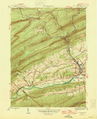 1946 Pine Grove1946 Print · USGSSchuylkill County in the mid-1940s is a landscape of tight mountain ridges and busy rail corridors serving coal-country towns. Genealogists and researchers can trace local landmarks like Jacobs Ch, the Swatara Valley Airport, and the Reading railroad spurs through Suedberg and Lorberry.2 unique versions available
 - 1946 Map of Friedensburg
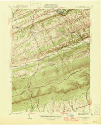 1946 Friedensburg1946 Print · USGSSchuylkill and Berks counties appear here shortly after the war, showing the mountain ridges and valley towns of the mid-1940s. Trace local family history at Friedensburg, old rural schools like Panther Valley Sch, or the path of the Appalachian Trail.2 unique versions available
 - 1946 Map of Swatara Hill
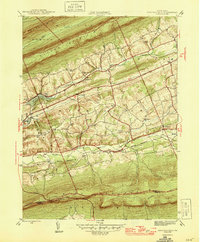 1946 Swatara Hill1946 Print · USGSSchuylkill and Berks counties are shown in the 1940s as a landscape of ridge-and-valley farming and early mountain recreation. Genealogists can locate family landmarks like Manbeck Cem or tracing historic schoolhouses such as Kershner Sch and Fidler Sch.2 unique versions available
 - 1950 Map of Harrisburg, 1952 Print
 1950 Harrisburg1952 Print · USGSMid-century Central Pennsylvania comes alive through its dense rail networks and river valley settlements during the post-war industrial era. Genealogists and historians can trace family roots through hubs like Harrisburg, locate Carlisle Barracks, or follow the Pennsylvania RR through the Lebanon Valley.
 - 1953 Map of Wernersville
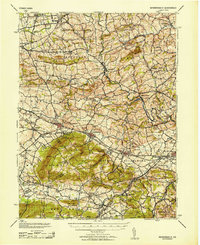 1953 Wernersville1953 Print · USGSBerks and Lebanon counties are shown in detail during the early 1950s, highlighting a landscape of institutional growth and deep-rooted rural settlements. Genealogists can locate family landmarks like the Bethany Orphans Home, Kricks Mill, and the Blue Meeting House.
 - 1954 Map of Pine Grove, 1956 Print
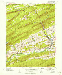 1954 Pine Grove1956 Print · USGSSchuylkill County in the mid-1950s reveals a landscape defined by industrial railroads and small valley settlements. Researchers can trace ancestral locations from Hollerman Cem to local landmarks like the Drive-in Theater and Swatara Valley Airport.4 unique versions available
 - 1955 Map of Swatara Hill, 1956 Print
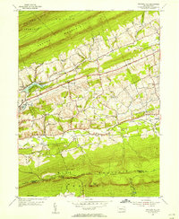 1955 Swatara Hill1956 Print · USGSSchuylkill County in the mid-fifties shows a landscape of ridge-top trails and valley railroads. Genealogists and historians can trace family-named landmarks like Schweigerts Sch or visit rural congregations at Hauers Ch and St Marks Ch.6 unique versions available
 - 1955 Map of Bethel, 1956 Print
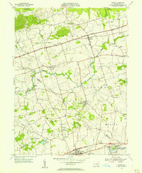 1955 Bethel1956 Print · USGSCentral Pennsylvania farm country and the historical Union Canal corridor are captured in the mid-fifties. Researchers can locate family landmarks like Merkey Ch, the Hilltop Park Speedway, and the industrial grounds of Millards Quarry.5 unique versions available
 - 1955 Map of Fredericksburg, 1956 Print
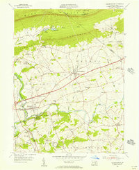 1955 Fredericksburg1956 Print · USGSCentered on Fredericksburg and Jonestown in the mid-1950s, this area shows a productive valley landscape framed by the Blue Mountain ridges. Genealogists can locate family landmarks like Groff Sch, Meckville Ch, and the old crossroads at Bunker Hill or Freeport Mills.7 unique versions available
 - 1955 Map of Strausstown, 1957 Print
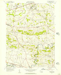 1955 Strausstown1957 Print · USGSBerks County in the mid-1950s reveals a landscape where old transport routes like the UNION CANAL still follow the TULPEHOCKEN CREEK. Genealogists can locate family landmarks such as Charming Forge, Kricks Mill, and the Little Tulpehocken Ch.4 unique versions available
 - 1955 Map of Pine Grove, 1958 Print
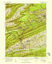 1955 Pine Grove1958 Print · USGSSchuylkill County coal towns and the Blue Mountain ridges are documented here in the mid-1950s. Genealogists and researchers can locate family-named landmarks like Klingers Sch and Hauer Ch alongside coal-era infrastructure like Coal Castle.3 unique versions available
 - 1957 Map of Harrisburg
 1957 Harrisburg1957 Print · USGSMid-century Central Pennsylvania comes into focus as a bustling network of rail, river, and mountain ridges. Genealogists and historians can trace the development of the State Capitol and surrounding hubs like Middletown, Columbia, and Pottsville.7 unique versions available
 - 1961 Map of Harrisburg
 1961 Harrisburg1961 Print · USGSCentral Pennsylvania is shown at a mid-century peak of industrial and military activity, from the Susquehanna water gaps to the fertile Dutch Country. Genealogists and historians can trace the rail corridors of the Pennsylvania RR and find landmarks like Carlisle Barracks or the Anthracite Coal Fields.2 unique versions available
 - 1963 Map of Wernersville
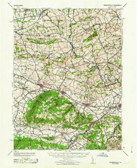 1963 Wernersville1963 Print · USGSBerks County and Lebanon County are captured here in the early 1960s, showing a landscape defined by ridgelines and Pennsylvania Dutch heritage. Researchers can trace historic local institutions like the Bethany Orphans Home, the Jesuit College, and the winding Reading RR.
 - 1964 Map of Harrisburg
 1964 Harrisburg1964 Print · USGSCentral Pennsylvania in the mid-fifties reveals a landscape shaped by ridge-and-valley geology and critical Cold War infrastructure. Researchers can trace the massive Indiantown Gap Military Reservation or the rail corridors of the Pennsylvania RR and Reading RR.
Showing maps 1-25 of 62
Top cities near Bethel Township
- Lebanon historical maps
- Pottsville historical maps
- North Cornwall historical maps
- Clay Township historical maps
- Schuylkill Haven historical maps
- Annville historical maps
See more
Top neighborhoods of Bethel Township
- Schubert historical maps
- Crosskill Mills historical maps
- Round Head historical maps
- Meckville historical maps
- Frystown historical maps
Frequently asked questions
- What are the different types of historical maps available for Bethel Township?
- What is the oldest map of Bethel Township?
- Where can I purchase historical maps of Bethel Township for my home or office?
- Where can I download high-res historical maps of Bethel Township?
- Are there historical topographic maps available for Bethel Township?
- Is there historical aerial imagery available for Bethel Township?
- Where are historical maps of Bethel Township sourced from?