Old Maps of Muhlenberg Township, Pennsylvania for Academic Research
Study the evolution of Muhlenberg Township with 26 high-resolution historic maps. Whether you're teaching, researching, or modeling changes in land use, these maps provide essential visual documentation of urban, environmental, and geographic change.
- Analyze long-term change: Track patterns in development, transportation, and natural features.
- Ideal for environmental or urban studies: Support academic projects with primary historical map data.
- Use in the classroom or lab: Educators and researchers rely on these maps to bring historical context to life.
These maps are a powerful tool for teaching, research, and visualizing how Muhlenberg Township has changed over the decades.
Muhlenberg Township, PA maps
(26)- 1894 Map of Reading
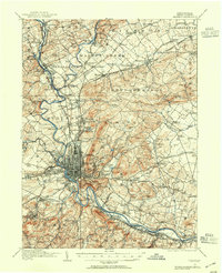
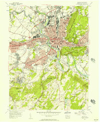
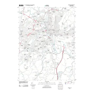
 1894 Reading1894 Print · USGSIn the 1890s, the industrial core of Berks County was defined by its coal-and-iron rail networks and the winding Schuylkill River. Genealogists and historians can trace late-nineteenth-century life in Reading and surrounding villages like Shoemakersville or find local landmarks such as Spies Church.5 unique versions available
 - 1913 Map of Reading, 1954 Print
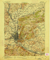
 1913 Reading1954 Print · USGSThe Schuylkill valley near the turn of the century shows a landscape transitioning between its colonial iron roots and a modern rail-driven economy. Genealogists and historians can trace family locations near the Friends Meetinghouse, Van Reeds Mill, or the many district schoolhouses like Neff School.
 - 1915 Map of Reading
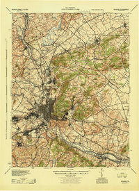
 1915 Reading1915 Print · USGSBerks County at the height of its industrial and rail era shows a landscape where iron furnaces and canals meet growing boroughs. Trace the paths of the Schuylkill Canal, locate old sites like Oley Furnace, or find family landmarks like Gernant Church and Epler School.6 unique versions available
 - 1944 Map of Reading
 1944 Reading1944 Print · USGSReading and its surrounding Berks County townships appear here during the height of the mid-century industrial era. Genealogists and historians can trace family locations through dozens of named schools like Shirk Sch and Cedar top Sch, or locate ancestral sites at Oley Furnace and Charles Evans Cem.
 - 1944 Map of Newark, 1971 Print
 1944 Newark1971 Print · USGSThe industrial corridor from Philadelphia to New York was in a period of massive transition during the mid-forties. Genealogists and researchers can trace the rail lines of the Lehigh Valley RR, locate military installations like Picatinny Arsenal, and explore the early sprawl near Levittown.5 unique versions available
 - 1946 Map of Reading
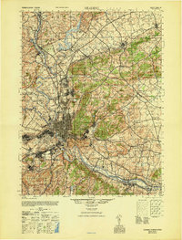 1946 Reading1946 Print · USGSBerks County's industrial and agricultural heartland is documented here just after the war, centered on the bustling hub of Reading. Genealogists and historians can trace family-named landmarks like Hecktown Sch, Friends Meeting House, and Van Reeds Mill.
 - 1949 Map of Newark
 1949 Newark1949 Print · USGSThe industrial corridor between Philadelphia and New York comes alive in this post-war survey. Genealogists and historians can trace the massive rail networks of the Reading Railroad and locate major installations like Fort Dix or Picatinny Arsenal.2 unique versions available
 - 1956 Map of Newark
 1956 Newark1956 Print · USGSThe industrial heart of the Mid-Atlantic is captured here at the dawn of the highway era, tracing the dense corridors between Newark and Philadelphia. Genealogists and local historians can map the rail networks of the Reading RR or locate mid-century military life at Fort Dix Military Reservation.2 unique versions available
 - 1956 Map of Reading, 1957 Print
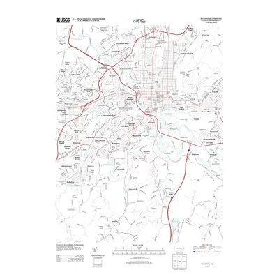
 1956 Reading1957 Print · USGSMid-century Reading and its surrounding boroughs are mapped here during a period of robust industrial and suburban growth. Genealogists and historians can trace neighborhood development near Reading Hospital, Albright College, and the family-named Van Reeds Mill.7 unique versions available
 - 1956 Map of Temple, 1957 Print
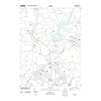
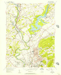 1956 Temple1957 Print · USGSBerks County's industrial and rural landscape is shown in detail during the mid-1950s as the Schuylkill River valley supported a dense network of rail and river infrastructure. Genealogists and local historians can trace family-named sites and vanished landmarks from Shoemakersville to the General Carl A Spaatz Field.5 unique versions available
 - 1957 Map of Newark
 1957 Newark1957 Print · USGSThe industrial and military heart of the Mid-Atlantic is mapped during its post-war suburban boom. Genealogists and historians can trace the intricate rail corridors of the Reading Railroad and locate key landmarks from Princeton University to Fort Hancock.
 - 1960 Map of Newark
 1960 Newark1960 Print · USGSThe industrial heart of the Mid-Atlantic is shown at mid-century, stretching from the dense urban centers of Newark and Philadelphia to the Blue Mountain ridges. Researchers can trace historic rail lines, coastal defenses at Fort Hancock, and the riverfront growth of Trenton and Easton.3 unique versions available
 - 1964 Map of Newark
 1964 Newark1964 Print · USGSGreater New Jersey and eastern Pennsylvania appear at the peak of their industrial and rail-centered development in the mid-sixties. Genealogists and historians can trace the paths of the Pennsylvania RR, identify mid-century landmarks like CAMP KILMER, or follow the Schuylkill River through READING.2 unique versions available
 - 1984 Map of Reading, 1986 Print
 1984 Reading1986 Print · USGSSoutheastern Pennsylvania in the mid-eighties shows a landscape of established industrial hubs and rapid suburban expansion. Trace local history through landmarks like Valley Forge National Historical Park, the Willow Grove Naval Air Station, and Kutztown University.2 unique versions available
 - 1999 Map of Reading, 2001 Print
 1999 Reading2001 Print · USGSGreater Reading at the close of the twentieth century shows a complex landscape of urban growth and preserved woodland. Genealogists and local historians can trace family locations through numerous sites like Charles Evans Cemetery, Kissinger Union Ch, and Governor Mifflin High Sch.
 - 1999 Map of Temple, 2001 Print
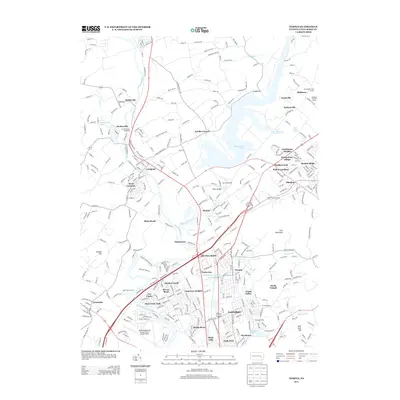
 1999 Temple2001 Print · USGSBerks County is shown at the end of the twentieth century as suburban growth and industrial infrastructure expand around the Schuylkill River. Researchers can locate family landmarks like St Johns Ch and Birch Hill Cem or trace the shoreline of Lake Ontelaunee.
 - 2010 Map of Reading, 2010 Print
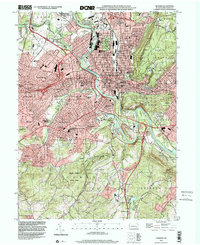
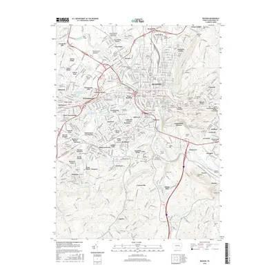
 2010 Reading2010 Print · USGSCovers Muhlenberg Township, including Reading, Wyomissing, and other nearby areas
 - 2010 Map of Temple, 2010 Print
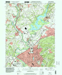
 2010 Temple2010 Print · USGSCovers Muhlenberg Township, including Muhlenberg Park, Laureldale, and other nearby areas
 - 2013 Map of Temple, 2013 Print
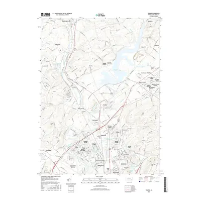
 2013 Temple2013 Print · USGSCovers Muhlenberg Township, including Muhlenberg Park, Laureldale, and other nearby areas
 - 2013 Map of Reading, 2013 Print
 2013 Reading2013 Print · USGSCovers Muhlenberg Township, including Reading, Wyomissing, and other nearby areas
 - 2016 Map of Reading, 2016 Print
 2016 Reading2016 Print · USGSCovers Muhlenberg Township, including Reading, Wyomissing, and other nearby areas
 - 2016 Map of Temple, 2016 Print
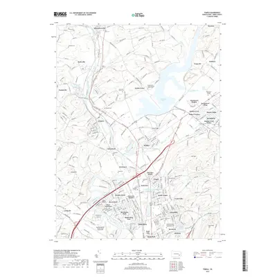
 2016 Temple2016 Print · USGSCovers Muhlenberg Township, including Muhlenberg Park, Laureldale, and other nearby areas
 - 2019 Map of Temple, 2019 Print
 2019 Temple2019 Print · USGSCovers Muhlenberg Township, including Muhlenberg Park, Laureldale, and other nearby areas
 - 2019 Map of Reading, 2019 Print
 2019 Reading2019 Print · USGSCovers Muhlenberg Township, including Reading, Wyomissing, and other nearby areas
 - 2023 Map of Reading, 2023 Print
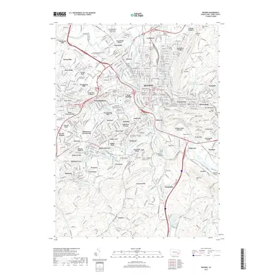
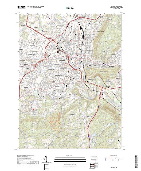 2023 Reading2023 Print · USGSGreater Reading and the Schuylkill River valley are shown in the 2020s, revealing a dense landscape of industry, academia, and local history. Genealogists can trace deep local roots at sites like the Charles Evans Cem, Mohnsville Cem, and Fitterling School Graveyard.
Showing maps 1-25 of 26
Top cities near Muhlenberg Township
- Reading historical maps
- Muhlenberg Park historical maps
- Ephrata historical maps
- Wyomissing historical maps
- Maxatawny Township historical maps
- East Earl Township historical maps
See more
Top neighborhoods of Muhlenberg Township
- College Heights historical maps
- South Temple historical maps
- Frush Valley historical maps
- Temple historical maps
- Riverview Park historical maps
- Tuckerton historical maps
See more
Frequently asked questions
- What are the different types of historical maps available for Muhlenberg Township?
- What is the oldest map of Muhlenberg Township?
- Where can I purchase historical maps of Muhlenberg Township for my home or office?
- Where can I download high-res historical maps of Muhlenberg Township?
- Are there historical topographic maps available for Muhlenberg Township?
- Is there historical aerial imagery available for Muhlenberg Township?
- Where are historical maps of Muhlenberg Township sourced from?