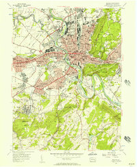
1956 Map of Reading
USGS Topo · Published 1957About this map
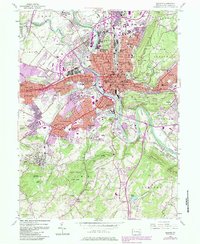
The Schuylkill River defines the industrial and residential heart of this mid-century landscape, winding through a dense network of iron and rail infrastructure. Both the Reading RR and Pennsylvania RR traverse the river valley, connecting the central city of Reading to surrounding boroughs like West Reading, Shillington, and Wyomissing. The map reveals a highly structured urban environment, where established institutions like Albright College and the Charles Evans Cemetery stand alongside the emerging post-war suburbs of Kenhorst and Montrose.
Find a feature on this map
107 named features on this map. Tap any name to fly to it.
Don’t see what you’re looking for? This feature index may not catch every label — zoom into the map to look around manually.
Map Details
Editions of this 1956 Reading Map
7 editions found
Other maps of this area

1894 · Reading
USGS Topo · 1:62,500

1902 · Wernersville
USGS Topo · 1:62,500

1905 · Honey Brook
USGS Topo · 1:62,500

1906 · New Holland
USGS Topo · 1:62,500

1907 · Honeybrook
USGS Topo · 1:62,500

1908 · New Holland
USGS Topo · 1:62,500

1913 · Reading
USGS Topo · 1:62,500

1915 · Reading
USGS Topo · 1:62,500

1941 · Honeybrook
USGS Topo · 1:62,500

1941 · New Holland
USGS Topo · 1:62,500