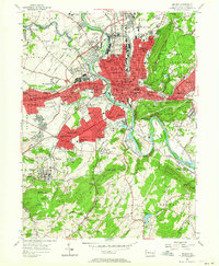
1956 Map of Reading
USGS Topo · Published 1964About this map
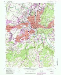
The Schuylkill River and its sharp bends at Poplar Neck define the industrial and residential core of Berks County during the mid-1950s. The city of Reading is shown in significant detail, with its dense grid expanding into the surrounding boroughs of West Reading, Wyomissing, and Shillington. The dominance of the Reading Railroad and Pennsylvania Railroad lines tracing the riverbanks highlights the era's dependence on rail for commerce.
Find a feature on this map
116 named features on this map. Tap any name to fly to it.
Don’t see what you’re looking for? This feature index may not catch every label — zoom into the map to look around manually.
Map Details
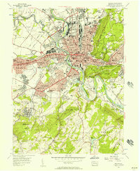
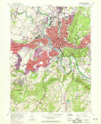
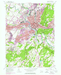
Editions of this 1956 Reading Map
7 editions found
Other maps of this area

1894 · Reading
USGS Topo · 1:62,500

1902 · Wernersville
USGS Topo · 1:62,500

1905 · Honey Brook
USGS Topo · 1:62,500

1906 · New Holland
USGS Topo · 1:62,500

1907 · Honeybrook
USGS Topo · 1:62,500

1908 · New Holland
USGS Topo · 1:62,500

1913 · Reading
USGS Topo · 1:62,500

1915 · Reading
USGS Topo · 1:62,500

1941 · Honeybrook
USGS Topo · 1:62,500

1941 · New Holland
USGS Topo · 1:62,500