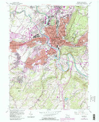
1956 Map of Reading
USGS Topo · Published 1988About this map
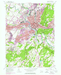
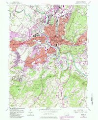
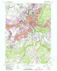
The Schuylkill River carves a dramatic S-curve through this industrial and educational hub, separating the dense urban core of Reading from its burgeoning western suburbs. In the mid-1950s, the landscape reveals a transition from traditional industry to suburban expansion, with the Conrail lines still following the river's edge while new residential developments like Wyomissing Hills and Kenhorst define the outskirts. Education is a central theme, anchored by Albright College in the north and Alvernia College to the south, alongside numerous neighborhood institutions such as Northeast Jr High Sch and Southwest Jr High Sch.
Find a feature on this map
95 named features on this map. Tap any name to fly to it.
Don’t see what you’re looking for? This feature index may not catch every label — zoom into the map to look around manually.
Map Details
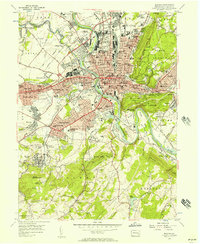
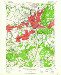
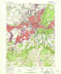
Editions of this 1956 Reading Map
7 editions found
Other maps of this area

1894 · Reading
USGS Topo · 1:62,500

1902 · Wernersville
USGS Topo · 1:62,500

1905 · Honey Brook
USGS Topo · 1:62,500

1906 · New Holland
USGS Topo · 1:62,500

1907 · Honeybrook
USGS Topo · 1:62,500

1908 · New Holland
USGS Topo · 1:62,500

1913 · Reading
USGS Topo · 1:62,500

1915 · Reading
USGS Topo · 1:62,500

1941 · Honeybrook
USGS Topo · 1:62,500

1941 · New Holland
USGS Topo · 1:62,500