2000s (21st Century) Maps of Catharine Township, Pennsylvania
Explore 15 historic maps of Catharine Township from the 2000s (21st Century). These maps offer a rare glimpse into what life looked like during the 2000s — showing old roads, neighborhoods, homes, and landmarks that have changed or disappeared over time.
Whether you're researching your family's past, planning a metal detecting trip, or studying how Catharine Township's landscape evolved across the 2000s, these high-resolution maps are a powerful tool for exploring the history of this region.
- Focus on a specific era: All maps on this page are from the 2000s, giving you a focused view of this time period.
- See what’s changed: Compare century-old streets, trails, and buildings to today's modern landscape using overlays and satellite layers.
- Research with precision: Use these maps for genealogy, historical research, land use analysis, or educational projects.
- View, download, or print: Maps are fully viewable online in high resolution, and can be downloaded or printed for your own records.
Start exploring Catharine Township's history through authentic maps from the 2000s. This is your window into the past.
Catharine Township, PA maps
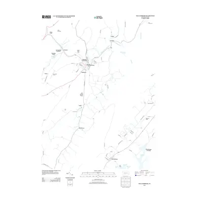
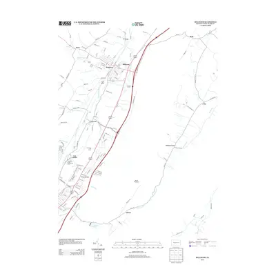
(15)- 2010 Map of Williamsburg, 2010 Print
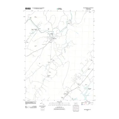 2010 Williamsburg2010 Print · USGSCovers Catharine Township, including Frankstown Township, Williamsburg, and other nearby areas
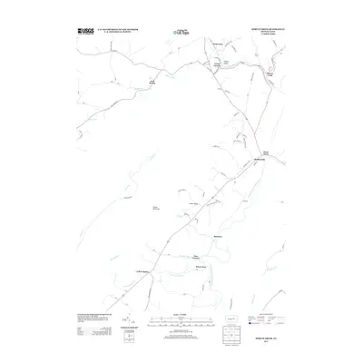
 - 2010 Map of Spruce Creek, 2010 Print
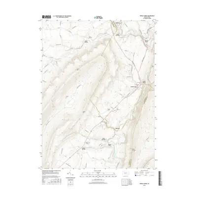
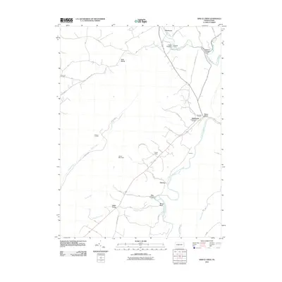 2010 Spruce Creek2010 Print · USGSCovers Catharine Township, including Frankstown Township, Spruce Creek Township, and other nearby areas
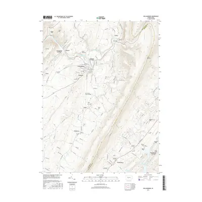
 - 2010 Map of Bellwood, 2010 Print
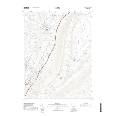
 2010 Bellwood2010 Print · USGSCovers Catharine Township, including Altoona, Frankstown Township, and other nearby areas
 - 2013 Map of Williamsburg, 2013 Print
 2013 Williamsburg2013 Print · USGSCovers Catharine Township, including Frankstown Township, Williamsburg, and other nearby areas
 - 2013 Map of Bellwood, 2013 Print
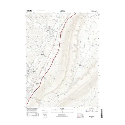
 2013 Bellwood2013 Print · USGSCovers Catharine Township, including Altoona, Frankstown Township, and other nearby areas
 - 2013 Map of Spruce Creek, 2013 Print
 2013 Spruce Creek2013 Print · USGSCovers Catharine Township, including Frankstown Township, Spruce Creek Township, and other nearby areas
 - 2016 Map of Williamsburg, 2016 Print
 2016 Williamsburg2016 Print · USGSCovers Catharine Township, including Frankstown Township, Williamsburg, and other nearby areas
 - 2016 Map of Bellwood, 2016 Print
 2016 Bellwood2016 Print · USGSCovers Catharine Township, including Altoona, Frankstown Township, and other nearby areas
 - 2016 Map of Spruce Creek, 2016 Print
 2016 Spruce Creek2016 Print · USGSCovers Catharine Township, including Frankstown Township, Spruce Creek Township, and other nearby areas
 - 2019 Map of Spruce Creek, 2019 Print
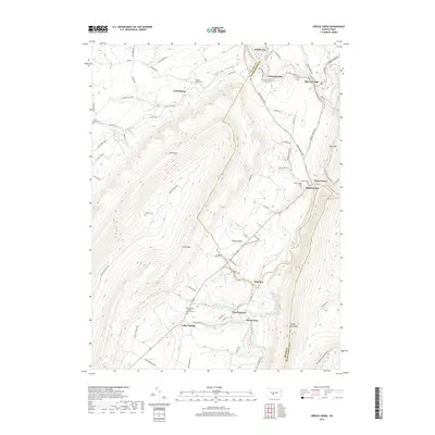 2019 Spruce Creek2019 Print · USGSCovers Catharine Township, including Frankstown Township, Spruce Creek Township, and other nearby areas
 - 2019 Map of Bellwood, 2019 Print
 2019 Bellwood2019 Print · USGSCovers Catharine Township, including Altoona, Frankstown Township, and other nearby areas
 - 2019 Map of Williamsburg, 2019 Print
 2019 Williamsburg2019 Print · USGSCovers Catharine Township, including Frankstown Township, Williamsburg, and other nearby areas
 - 2023 Map of Williamsburg, 2023 Print
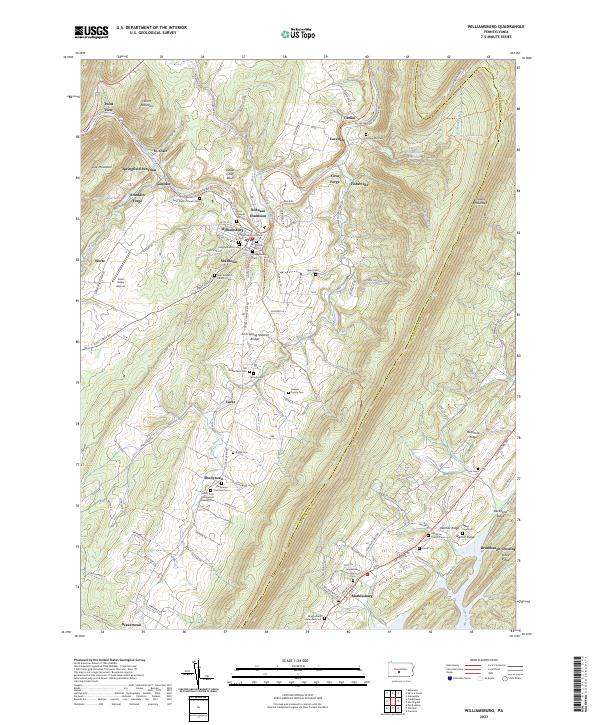 2023 Williamsburg2023 Print · USGSModern-day Blair and Huntingdon Counties are captured here, showing the enduring settlement patterns along the Frankstown Branch Juniata River. Genealogists can trace numerous family sites like the Biddle Farm Cem and Shellytown Fairview Cem.
 - 2023 Map of Bellwood, 2023 Print
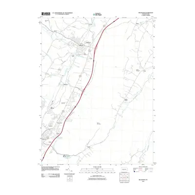
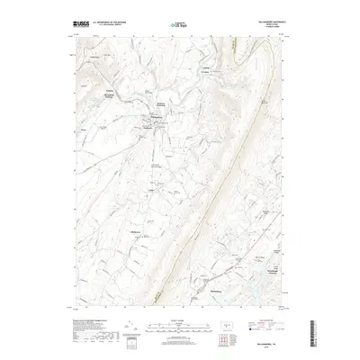
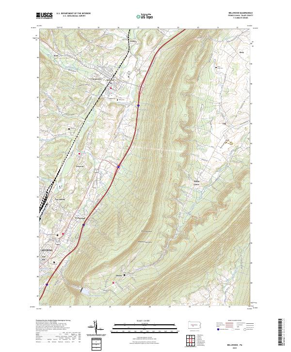 2023 Bellwood2023 Print · USGSThe Logan Valley and the steep slopes of the Allegheny Mountains are shown here in the 2020s. Researchers can locate numerous local burial sites like Valley Cem or trace the route of the Bells Gap Rail Trl through Roots and Bellwood.
 - 2023 Map of Spruce Creek, 2023 Print
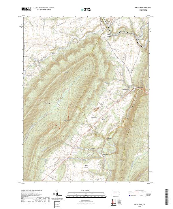 2023 Spruce Creek2023 Print · USGSThe industrial and agricultural valleys of Blair and Huntingdon Counties are captured here in the contemporary era. Researchers can locate numerous family and denominational burial sites like Amish Cem and Keller Church Cem near the historic Etna Furnace.
End of results
Showing maps 1-15 of 15
Top cities near Catharine Township
- Altoona historical maps
- Frankstown Township historical maps
- Huntingdon historical maps
- Hollidaysburg historical maps
- Tyrone historical maps
- Roaring Spring historical maps
See more
Top neighborhoods of Catharine Township
- Carlim historical maps
- Ganister historical maps
- Point View historical maps
- Mount Etna historical maps
- Etna Furnace historical maps
- Robeson Extension historical maps
See more
Frequently asked questions
- What are the different types of historical maps available for Catharine Township?
- What is the oldest map of Catharine Township?
- Where can I purchase historical maps of Catharine Township for my home or office?
- Where can I download high-res historical maps of Catharine Township?
- Are there historical topographic maps available for Catharine Township?
- Is there historical aerial imagery available for Catharine Township?
- Where are historical maps of Catharine Township sourced from?