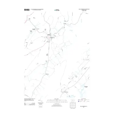
2013 Map of Williamsburg
USGS Topo · Published 2013About this map
Williamsburg serves as the central hub of this Blair County landscape, where the Frankstown Br Juniata River and Clover Cr converge. The topography is defined by the prominent Short Mountain and Redstone Ridge, framing a series of smaller communities such as Ganister, Shellytown, and Marklesburg. Notable for its unique geological and recreational landmarks, the area includes the Arch Spring Natural Bridge and the Ganister Blue Hole, as well as the Cove Valley Airport and Hesston Speedway. Local history is embedded in named terrain features like Indian Chief Rock and Stacy Knob, while the southern portion of the sheet reaches the shores of Raystown Lake at the Hitch Boat Launch. This 2013 survey provides a contemporary view of these established settlements and their relationship to the surrounding ridge-and-valley terrain.
Find a feature on this map
78 named features on this map. Tap any name to fly to it.
Don’t see what you’re looking for? This feature index may not catch every label — zoom into the map to look around manually.
Map Details
Editions of this 2013 Williamsburg Map
This is the sole edition of this map. No revisions or reprints were ever made.
Other maps of this area

1901 · Huntingdon
USGS Topo · 1:62,500

1902 · Hollidaysburg
USGS Topo · 1:62,500

1903 · Hollidaysburg
USGS Topo · 1:62,500

1904 · Huntingdon
USGS Topo · 1:62,500

1920 · Altoona
USGS Topo · 1:62,500

1922 · Altoona
USGS Topo · 1:62,500

1923 · Tyrone
USGS Topo · 1:62,500

1929 · Tyrone
USGS Topo · 1:48,000

1933 · Tyrone
USGS Topo · 1:62,500

1946 · Tyrone
USGS Topo · 1:62,500
Featured Places
- Frankstown Township, PA
- Williamsburg, PA
- Marklesburg, PA
- Franklin Forge, Woodbury Township
- Lincoln Township, PA