Old Maps of Freedom Township, Pennsylvania for Genealogy
Trace your family roots with 28 historic maps of Freedom Township. These high-res maps reveal old neighborhoods, homesites, landmarks, and streets — helping you uncover where your ancestors lived and how the area evolved over time.
- Explore historic neighborhoods: Identify where your relatives may have lived in the 1800s or 1900s.
- Compare maps over time: Trace the changes in streets, buildings, and landmarks for multi-generational research.
- Perfect for genealogy & ancestry research: Used by family historians and researchers to map out lineage and migration.
These maps are an incredible resource for exploring your personal connection to Freedom Township's past.
Freedom Township, PA maps
(28)- 1902 Map of Ebensburg, 1954 Print
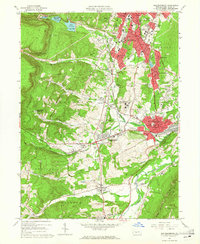
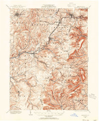 1902 Ebensburg1954 Print · USGSCambria County at the dawn of the twentieth century was a landscape of intensive rail infrastructure and mountain mining towns. Researchers can trace the Pennsylvania RR lines and find detailed footprints for settlements like Ebensburg, Cresson, and the high peak at Blue Knob.
 - 1902 Map of Hollidaysburg, 1957 Print
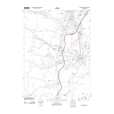
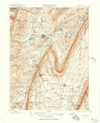 1902 Hollidaysburg1957 Print · USGSCentral Pennsylvania at the opening of the twentieth century shows a landscape defined by the iron and rail industries. Genealogists and historians can trace the early footprints of Hollidaysburg, locate the Ore Hill mine, and follow the Pennsylvania R. R. through the steep gaps of the Allegheny Mountain.2 unique versions available
 - 1903 Map of Hollidaysburg
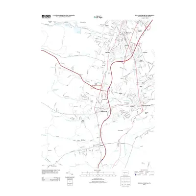
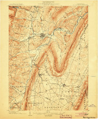 1903 Hollidaysburg1903 Print · USGSBlair County was a hub of Appalachian industry and transit at the opening of the twentieth century. Genealogists and historians can trace the early rail networks of the Pennsylvania RR and locate vanished mining activity near Orehill and Henrietta.7 unique versions available
 - 1904 Map of Ebensburg
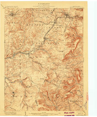 1904 Ebensburg1904 Print · USGSCambria County's industrial heartland is captured during the era of steam and steel, when the Pennsylvania RR crested the Allegheny Front. Genealogists and historians can trace the early layouts of Ebensburg, Lilly, and Gallitzin, or locate rural landmarks like Mt Hope Church.7 unique versions available
 - 1953 Map of Pittsburgh
 1953 Pittsburgh1953 Print · USGSWestern Pennsylvania's industrial landscape at the start of the fifties shows the steel and rail corridors between Pittsburgh and Altoona. Trace family roots in river towns like Tarentum or follow the Pennsylvania Turnpike across Laurel Hill.
 - 1954 Map of Pittsburgh
 1954 Pittsburgh1954 Print · USGSWestern Pennsylvania in the early fifties remains a powerhouse of heavy industry and vital transit corridors. Genealogists and historians can trace the rail-and-river network connecting Pittsburgh, Johnstown, and Altoona via the Pennsylvania RR and the Lincoln Highway.2 unique versions available
 - 1958 Map of Pittsburgh
 1958 Pittsburgh1958 Print · USGSWestern Pennsylvania in the late fifties shows an industrial heartland defined by the confluence of the Allegheny River and Monongahela River. Researchers can trace the sprawling rail networks of the Pennsylvania RR and find established towns like Butler, Latrobe, and Windber.5 unique versions available
 - 1959 Map of Pittsburgh
 1959 Pittsburgh1959 Print · USGSWestern Pennsylvania in the late fifties is captured here at the height of its industrial era. Genealogists and historians can trace the riverfront growth of Pittsburgh, the rail works at Altoona, and the mountain gaps of Laurel Hill.
 - 1963 Map of Hollidaysburg, 1965 Print
 1963 Hollidaysburg1965 Print · USGSBlair County’s mid-century industrial and suburban growth is on full display during this era of rail and road expansion. Researchers can trace institutional landmarks like Hollidaysburg State Hospital and iconic engineering feats such as the Horseshoe Curve.5 unique versions available
 - 1963 Map of Blue Knob, 1965 Print
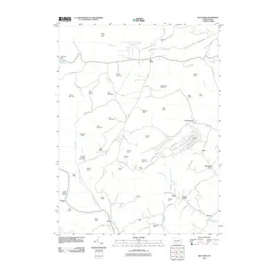
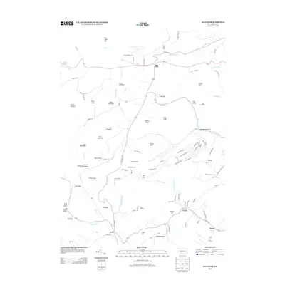
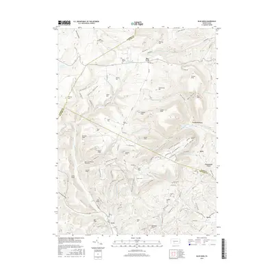
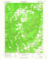 1963 Blue Knob1965 Print · USGSThe high ridges of the Allegheny Front come into sharp focus in the early sixties as recreational spaces like Blue Knob State Park expand alongside traditional mountain settlements. Genealogists can trace family landmarks like Stiefler Corner and the Lost Cox Children Monument among the hollows of Bobs Creek.4 unique versions available
 - 1963 Map of Roaring Spring, 1965 Print
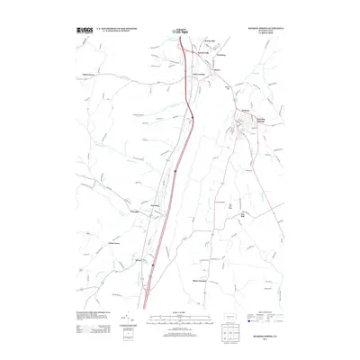
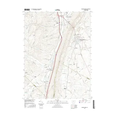
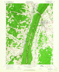 1963 Roaring Spring1965 Print · USGSThe valleys between DUNNING MOUNTAIN and SHORT MOUNTAIN were centers of industry and community in the early sixties. Researchers can trace family sites from Bakers Summit to Roaring Spring, locating Stowberger Cem, Albright Ch, and numerous local Quarries.4 unique versions available
 - 1964 Map of Pittsburgh
 1964 Pittsburgh1964 Print · USGSWestern Pennsylvania in the late fifties and early sixties shows a landscape of powerful river industries and expanding highways. Genealogists and historians can trace the rail corridors of the Pennsylvania RR through industrial hubs like Johnstown, Altoona, and Nanty Glo.
 - 1981 Map of Johnstown, 1983 Print
 1981 Johnstown1983 Print · USGSSouth Central Pennsylvania is captured here in the early eighties, from the industrial heart of the Conemaugh Valley to the ridges of the Allegheny Front. Local historians can trace the rail corridors of Conrail and the growth of mountain communities like Ebensburg, Nanty Glo, and Windber.
 - 2010 Map of Roaring Spring, 2010 Print
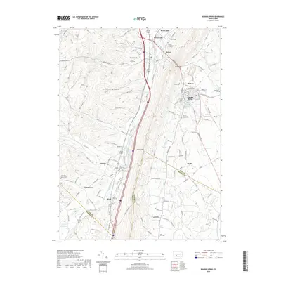
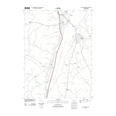 2010 Roaring Spring2010 Print · USGSCovers Freedom Township, including Roaring Spring, Rodman, and other nearby areas
 - 2010 Map of Blue Knob, 2010 Print
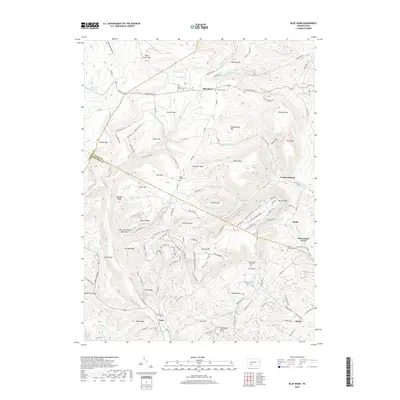
 2010 Blue Knob2010 Print · USGSCovers Freedom Township, including Pavia Township, Washington Township, and other nearby areas
 - 2010 Map of Hollidaysburg, 2010 Print
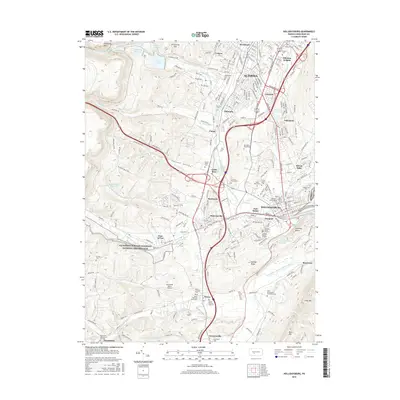
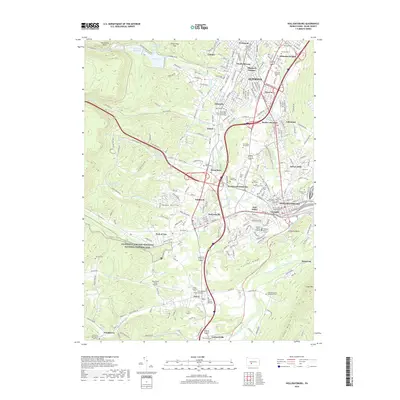
 2010 Hollidaysburg2010 Print · USGSCovers Freedom Township, including Altoona, Frankstown Township, and other nearby areas
 - 2013 Map of Hollidaysburg, 2013 Print
 2013 Hollidaysburg2013 Print · USGSCovers Freedom Township, including Altoona, Frankstown Township, and other nearby areas
 - 2013 Map of Blue Knob, 2013 Print
 2013 Blue Knob2013 Print · USGSCovers Freedom Township, including Pavia Township, Washington Township, and other nearby areas
 - 2013 Map of Roaring Spring, 2013 Print
 2013 Roaring Spring2013 Print · USGSCovers Freedom Township, including Roaring Spring, Rodman, and other nearby areas
 - 2016 Map of Blue Knob, 2016 Print
 2016 Blue Knob2016 Print · USGSCovers Freedom Township, including Pavia Township, Washington Township, and other nearby areas
 - 2016 Map of Roaring Spring, 2016 Print
 2016 Roaring Spring2016 Print · USGSCovers Freedom Township, including Roaring Spring, Rodman, and other nearby areas
 - 2016 Map of Hollidaysburg, 2016 Print
 2016 Hollidaysburg2016 Print · USGSCovers Freedom Township, including Altoona, Frankstown Township, and other nearby areas
 - 2019 Map of Hollidaysburg, 2019 Print
 2019 Hollidaysburg2019 Print · USGSCovers Freedom Township, including Altoona, Frankstown Township, and other nearby areas
 - 2019 Map of Roaring Spring, 2019 Print
 2019 Roaring Spring2019 Print · USGSCovers Freedom Township, including Roaring Spring, Rodman, and other nearby areas
 - 2019 Map of Blue Knob, 2019 Print
 2019 Blue Knob2019 Print · USGSCovers Freedom Township, including Pavia Township, Washington Township, and other nearby areas
Showing maps 1-25 of 28
Top cities near Freedom Township
- Altoona historical maps
- Frankstown Township historical maps
- Hollidaysburg historical maps
- Portage historical maps
- Roaring Spring historical maps
- Martinsburg historical maps
See more
Top neighborhoods of Freedom Township
- Puzzletown historical maps
- East Freedom historical maps
- Leamersville historical maps
- Smith Corner historical maps
Frequently asked questions
- What are the different types of historical maps available for Freedom Township?
- What is the oldest map of Freedom Township?
- Where can I purchase historical maps of Freedom Township for my home or office?
- Where can I download high-res historical maps of Freedom Township?
- Are there historical topographic maps available for Freedom Township?
- Is there historical aerial imagery available for Freedom Township?
- Where are historical maps of Freedom Township sourced from?