2000s (21st Century) Maps of Huston Township, Pennsylvania
Explore 20 historic maps of Huston Township from the 2000s (21st Century). These maps offer a rare glimpse into what life looked like during the 2000s — showing old roads, neighborhoods, homes, and landmarks that have changed or disappeared over time.
Whether you're researching your family's past, planning a metal detecting trip, or studying how Huston Township's landscape evolved across the 2000s, these high-resolution maps are a powerful tool for exploring the history of this region.
- Focus on a specific era: All maps on this page are from the 2000s, giving you a focused view of this time period.
- See what’s changed: Compare century-old streets, trails, and buildings to today's modern landscape using overlays and satellite layers.
- Research with precision: Use these maps for genealogy, historical research, land use analysis, or educational projects.
- View, download, or print: Maps are fully viewable online in high resolution, and can be downloaded or printed for your own records.
Start exploring Huston Township's history through authentic maps from the 2000s. This is your window into the past.
Huston Township, PA maps
(20)- 2010 Map of Martinsburg, 2010 Print
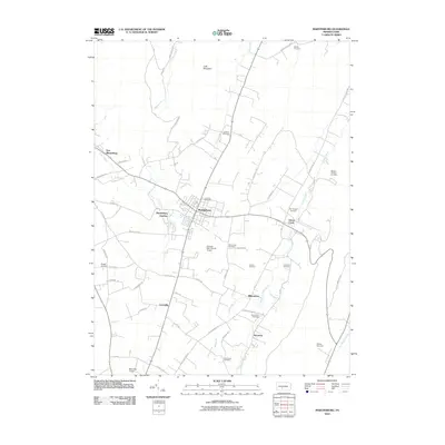 2010 Martinsburg2010 Print · USGSBlair County as it appeared in the early 21st century remains a landscape of tightly-knit rural communities and family legacies. Genealogists can trace homesteads and ancestors through numerous burial sites like Nicodemus Cemetery, Detwiler Cemetery, and the Rebecca Furnace Cemetery.
- 2010 Map of Frankstown, 2010 Print
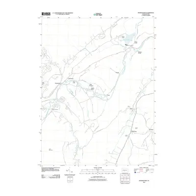 2010 Frankstown2010 Print · USGSBlair County's river-valley settlements and iron-mining heritage are captured here in the early twenty-first century. Researchers can trace family sites from Frankstown to Oreminia or locate the Barbara Mines and historic grounds like Royer Cemetery.
- 2010 Map of Williamsburg, 2010 Print
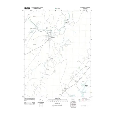 2010 Williamsburg2010 Print · USGSCentral Pennsylvania at the start of the twenty-first century reveals a landscape where river industry and rural life converge along the Frankstown Branch Juniata River. Researchers can trace local lineage at Biddle Cemetery or Marklesburg Union Cemetery, and locate landmarks like Indian Chief Rock.
- 2010 Map of Entriken, 2010 Print
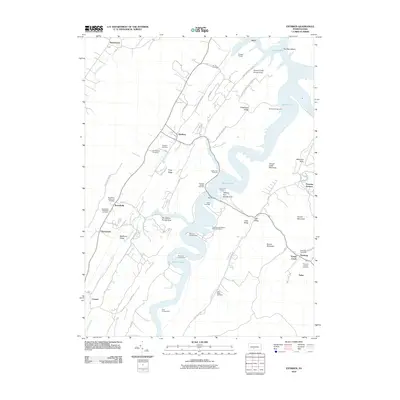 2010 Entriken2010 Print · USGSTodd Township and the Raystown Lake shoreline are captured here in the early twenty-first century as centers for both recreation and historic preservation. Genealogists and researchers can locate numerous family burial sites like Shultz Cemetery or explore the area around the historic Paradise Furnace.
- 2013 Map of Williamsburg, 2013 Print
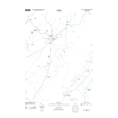 2013 Williamsburg2013 Print · USGSBlair County's river-carved landscape comes into focus in the early 2010s as it transitions from the Juniata River banks to the shores of Raystown Lake. Researchers can trace local landmarks like the Arch Spring Natural Bridge, the Ganister Blue Hole, and the rural community of Shellytown.
- 2013 Map of Frankstown, 2013 Print
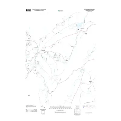 2013 Frankstown2013 Print · USGSBlair County's river-cut gaps and valley floors are captured here in the early twenty-first century, showing the enduring footprint of settlements along the Frankstown Br Juniata River. Genealogists and historians can trace the locations of Oreminea, Geeseytown, and Flowing Spring amidst the ridges of Loop Mountain.
- 2013 Map of Martinsburg, 2013 Print
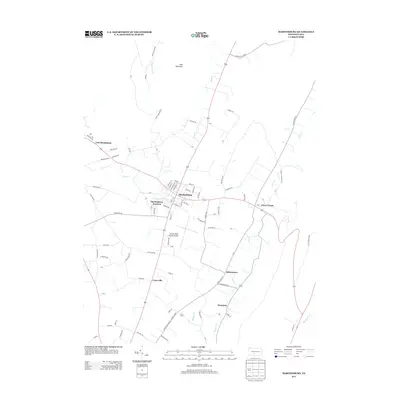 2013 Martinsburg2013 Print · USGSMartinsburg and the agricultural valleys of Blair County are shown in detail during the early twenty-first century. Genealogists and local historians can trace the streets of Martinsburg or locate rural landmarks like Henrietta and the Altoona-Blair County Airport.
- 2013 Map of Entriken, 2013 Print
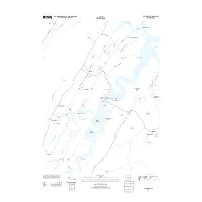 2013 Entriken2013 Print · USGSTodd Township and the Raystown Lake shoreline are captured here during a period of established recreation and lakeside development. Genealogists and hikers can trace old routes like Entriken Cemetery Rd or explore the area around Paradise Furnace and the Trough Creek Wild Area.
- 2016 Map of Entriken, 2016 Print
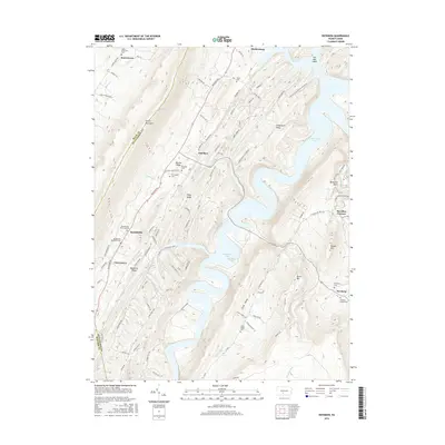 2016 Entriken2016 Print · USGSHuntingdon County's high ridges and the winding waters of Raystown Lake are captured here in the mid-2010s. Genealogists and local historians can trace legacy sites like Paradise Furnace, Salem Reformed Cemetery, and the Plummer Family Cemetery.
- 2016 Map of Williamsburg, 2016 Print
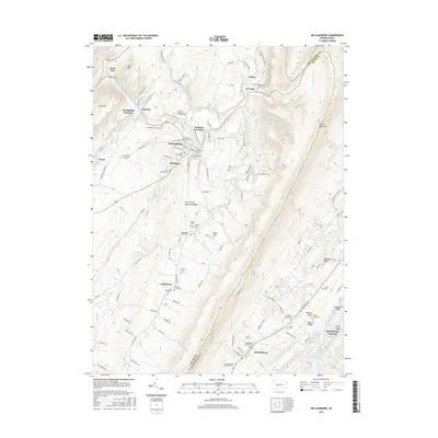 2016 Williamsburg2016 Print · USGSThe central Pennsylvania ridges near the Blair and Huntingdon county line are shown here in the mid-2010s, centered on the river-bend town of Williamsburg. Genealogists and hikers can trace numerous family burial grounds and natural landmarks like the Arch Spring Natural Bridge and Indian Chief Rock.
- 2016 Map of Frankstown, 2016 Print
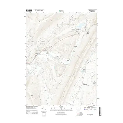 2016 Frankstown2016 Print · USGSCentral Blair County in 2016 shows a landscape shaped by the Frankstown Branch Juniata River and its surrounding ridges. Genealogists can trace family burial sites like the Markey - Shinnefelt Burial Ground and Claycomb Burial Site.
- 2016 Map of Martinsburg, 2016 Print
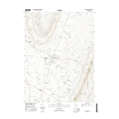 2016 Martinsburg2016 Print · USGSCove Valley in Blair County remains a landscape of tightly-knit villages and family cemeteries in the mid-2010s. Genealogists can locate specific burial sites like Spring Hope Cem and Noggle Cem or trace the rural roads connecting Martinsburg to Curryville.
- 2019 Map of Martinsburg, 2019 Print
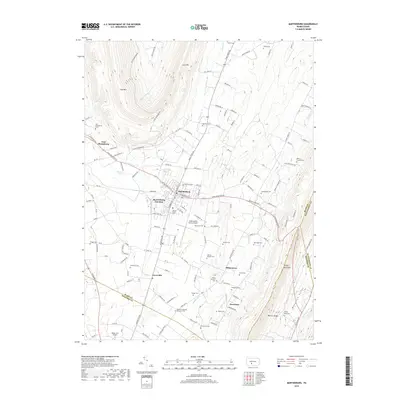 2019 Martinsburg2019 Print · USGSMartinsburg and its surrounding valley farmsteads are captured here in the late twenty-teens, nestled between the high ridges of the Morrison Cove region. Researchers can locate dozens of local burial sites like Spring Hope Cem and Rebecca Furnace Cem or trace the rail lines at Martinsburg Junction.
- 2019 Map of Frankstown, 2019 Print
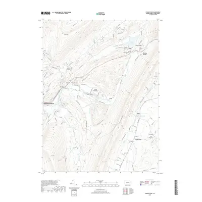 2019 Frankstown2019 Print · USGSFrankstown and the surrounding Juniata River valley appear in high detail during this late twenty-first-century survey. Genealogists can trace numerous family-named landmarks and burial sites, including the Markey Shinnefelt Burial Ground and Goods Wallstown Cem.
- 2019 Map of Entriken, 2019 Print
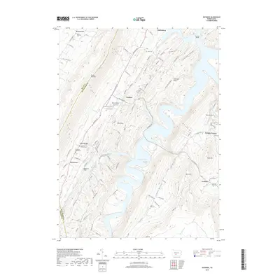 2019 Entriken2019 Print · USGSThe Woodcock Valley and Raystown Lake area are shown here as they appeared in the late twenty-teens. Researchers can trace rural heritage through sites like Paradise Furnace, Brumbaugh Cem, and the historic settlement at Russellville.
- 2019 Map of Williamsburg, 2019 Print
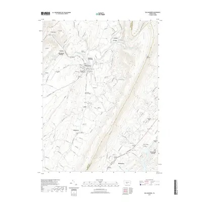 2019 Williamsburg2019 Print · USGSNear the Blair and Huntingdon county line, this modern survey captures the ridge-and-valley landscape of the Frankstown Branch Juniata River. Family researchers can locate dozens of historic sites, including the Old Stone Church, Bowers Family Cem, and Shellytown Cem.
- 2023 Map of Williamsburg, 2023 Print
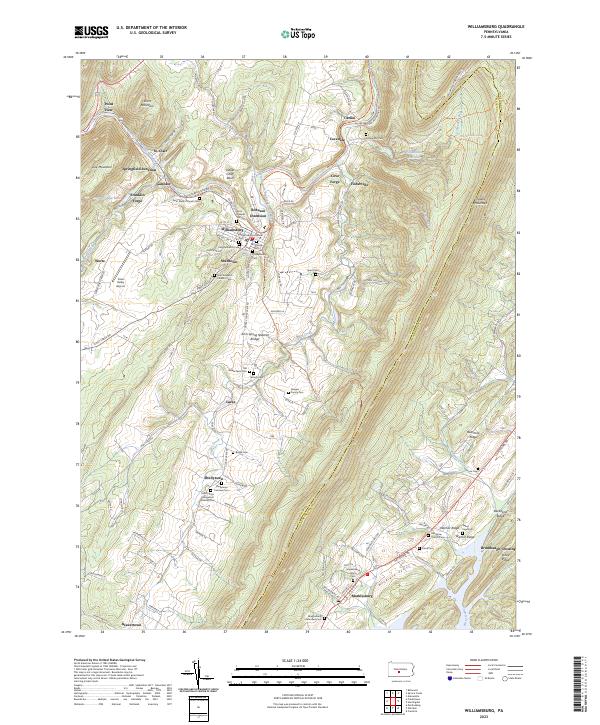 2023 Williamsburg2023 Print · USGSModern-day Blair and Huntingdon Counties are captured here, showing the enduring settlement patterns along the Frankstown Branch Juniata River. Genealogists can trace numerous family sites like the Biddle Farm Cem and Shellytown Fairview Cem.
- 2023 Map of Frankstown, 2023 Print
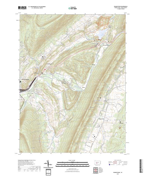 2023 Frankstown2023 Print · USGSBlair County's ridge-and-valley landscape is captured here in the early twenty-first century, showing the enduring rural layout around Frankstown. Researchers can find numerous family burial sites like the Markey Shinnefelt Burial Ground and Rhodes Cem.
- 2023 Map of Entriken, 2023 Print
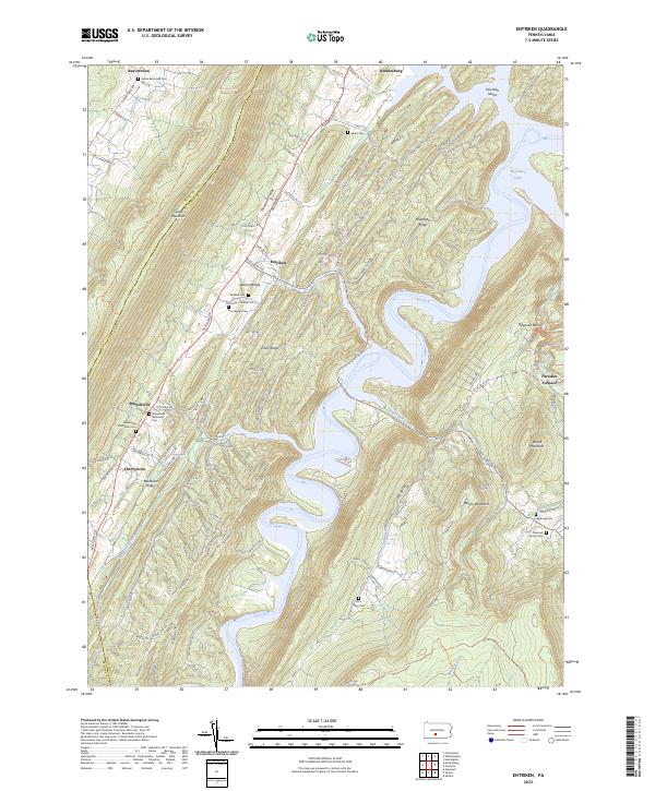 2023 Entriken2023 Print · USGSThe ridges and valleys of Huntingdon County are preserved here in the early twenty-first century, centered on the expansive waters of Raystown Lake. Genealogists and researchers can locate historic burial grounds like Brumbaugh Cem and Plummer Family Cem or trace the early industrial footprint of Paradise Furnace.
- 2023 Map of Martinsburg, 2023 Print
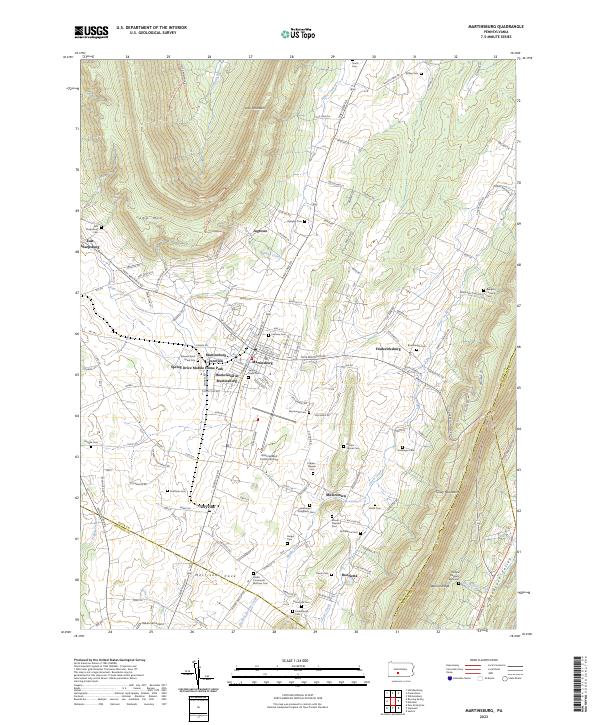 2023 Martinsburg2023 Print · USGSMorrisons Cove remains a vital agricultural and transport corridor in central Pennsylvania during the early twenty-first century. Genealogists can trace family footprints at the Edward Byers Grave Site and across dozens of local burial grounds like Diehls Crossroads Brethren Cem.
End of results
Showing maps 1-20 of 20
Top cities near Huston Township
- Altoona historical maps
- Frankstown Township historical maps
- Hollidaysburg historical maps
- Roaring Spring historical maps
- Martinsburg historical maps
- Williamsburg historical maps
See more
Top neighborhoods of Huston Township
Frequently asked questions
- What are the different types of historical maps available for Huston Township?
- What is the oldest map of Huston Township?
- Where can I purchase historical maps of Huston Township for my home or office?
- Where can I download high-res historical maps of Huston Township?
- Are there historical topographic maps available for Huston Township?
- Is there historical aerial imagery available for Huston Township?
- Where are historical maps of Huston Township sourced from?