Old Maps of Rome Township, Pennsylvania for Hiking & Exploration
Hike through history with 34 historic maps of Rome Township. Explore old trails, ghost towns, and forgotten backroads — perfect for outdoor adventurers and local explorers.
- Rediscover forgotten places: Map out old mining camps, roads, and footpaths that no longer exist on modern maps.
- Layer with modern tools: Combine with LiDAR or satellite views to plan hikes through historical terrain.
- Made for exploration: Popular among hikers, overlanders, and local history lovers.
Use these maps to find adventure and explore the hidden past of Rome Township.
Rome Township, PA maps
(34)- 1923 Map of Towanda
 1923 Towanda1923 Print · USGSBradford County in the early twenties shows a bustling river-and-rail landscape centered on the Susquehanna River. Researchers can trace dozens of named schools like Cebu School and Shores Hill School or locate family roots in hamlets like Bumpville and Allis Hollow.
 - 1926 Map of Towanda
 1926 Towanda1926 Print · USGSBradford County was a landscape of concentrated rural communities and river-valley commerce during the mid-twenties. Genealogists and local historians can trace hundreds of property-level details, from the Cottonhollow School to the banks of Lake Wesauking and Wysox.4 unique versions available
 - 1943 Map of Towanda, 1944 Print
 1943 Towanda1944 Print · USGSTowanda and the Susquehanna River valley are captured here during the mid-1940s, showing a landscape defined by river-rail transit and upland farming. Genealogists can locate dozens of country schools and churches, from Pine Grove Sch to the Bald Eagle Ch.
 - 1954 Map of Williamsport
 1954 Williamsport1954 Print · USGSNorth-central Pennsylvania in the mid-fifties is defined by the winding West Branch Susquehanna River and its industrial valley. Local historians can trace the massive Susquehanna Ordnance Depot and the extensive rail networks of the Pennsylvania Railroad.
 - 1960 Map of Williamsport
 1960 Williamsport1960 Print · USGSNorth-central Pennsylvania in the mid-twentieth century was a vital corridor of rail and river industry stretching from the New York line to the coal regions. Genealogists can trace the rail networks of the Pennsylvania RR and Lehigh Valley RR connecting towns like Williamsport, Towanda, and Lock Haven.
 - 1962 Map of Williamsport, 1966 Print
 1962 Williamsport1966 Print · USGSNorth-central Pennsylvania was a landscape of industrial river hubs and vast state woodlands in the early sixties. Researchers can trace the path of the Pennsylvania Railroad through Williamsport and explore the remote reaches of Bucktail State Park.5 unique versions available
 - 1965 Map of Williamsport
 1965 Williamsport1965 Print · USGSNorth-central Pennsylvania in the mid-1960s is defined by the industrial river towns and vast timberlands of the Allegheny Plateau. Researchers can trace historic rail lines like the Erie Lackawanna and Reading as they thread through Williamsport, Lock Haven, and Jersey Shore.
 - 1966 Map of Williamsport
 1966 Williamsport1966 Print · USGSThe Susquehanna Valley was a hub of transit and industry in the mid-seventies, where the river's West Branch connected major college towns and timberlands. Researchers can trace historical rail lines like the Reading or locate regional landmarks from Jersey Shore to Ricketts Glen State Park.
 - 1967 Map of Towanda, 1971 Print
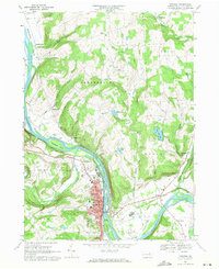 1967 Towanda1971 Print · USGSThe Susquehanna River valley and the borough of Towanda are captured in the late sixties, showing the area's transition into a modern regional hub. Researchers can trace old family sites at Sheshequin Valley Cem, the rail infrastructure of the Lehigh Valley, and landmarks like Lake Wesauking.2 unique versions available
 - 1967 Map of Windham, 1971 Print
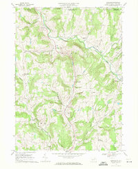 1967 Windham1971 Print · USGSBradford County near the New York border remained a landscape of scattered creek-side settlements and upland farms in the late sixties. Genealogists and local historians can locate many rural landmarks, including the Windham Sch, Orwell Valley Cem, and Bixby Corner.2 unique versions available
 - 1967 Map of Rome, 1971 Print
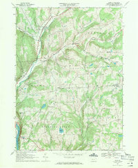 1967 Rome1971 Print · USGSThe uplands of Bradford County are captured in the late sixties, showing the rural network of settlements and cemeteries before modern expansion. You can trace family roots through the Mercur Cem and Keene Summit Ch or follow the Lehigh Valley RR along the Susquehanna River.3 unique versions available
 - 1967 Map of Litchfield, 1971 Print
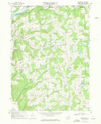 1967 Litchfield1971 Print · USGSBradford County’s northern highlands meet the New York border in the late sixties, where upland farms and small hamlets define the landscape. Researchers can trace rural lineages through the Township Sch and local burial sites like Orange Hill Cem and Bumpville Cem.2 unique versions available
 - 1981 Map of Towanda, 1982 Print
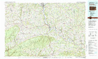 1981 Towanda1982 Print · USGSThe Susquehanna Valley at the turn of the 1980s reveals a region of mountain forests and busy river towns along the New York border. Researchers can trace the legacy of the CONRAIL lines through Sayre or locate remote landmarks like Armenia Mountain and Mt Pisgah State Park.
 - 1998 Map of Towanda, 1999 Print
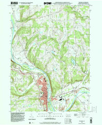 1998 Towanda1999 Print · USGSBradford County’s riverfront settlements and upland valleys are captured here at the close of the century. Genealogists and local historians can trace family plots at Oak Hill Cemetery and Ghent Cem, or locate the old Drive-in Theater and Fairgrounds near East Towanda.
 - 2010 Map of Rome, 2010 Print
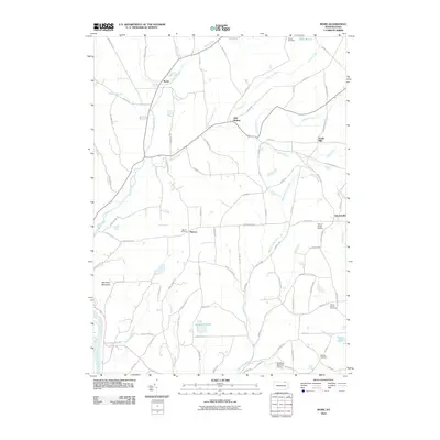 2010 Rome2010 Print · USGSThe rural valleys of Bradford County are captured in this 2010 survey, showcasing the enduring settlement patterns of Rome and Herrickville. Researchers can trace family history through numerous landmarks like Ballibay Cemetery, Allis Hollow, and the winding Wysox Creek.
 - 2010 Map of Towanda, 2010 Print
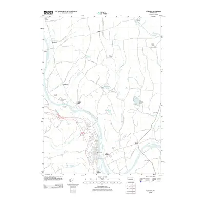 2010 Towanda2010 Print · USGSThe Susquehanna River valley near the turn of the 21st century reveals a landscape of riverside towns and upland farm hamlets. Researchers can trace family sites at Riverside Cemetery, explore the environs of Lake Wesauking, and locate old settlements like Quarry Glen and Ghent.
 - 2010 Map of Litchfield, 2010 Print
 2010 Litchfield2010 Print · USGSThe Pennsylvania-New York borderlands appear here in the early twenty-first century, featuring the rural uplands between the Susquehanna River and the valley communities. Researchers can trace local lineages through Orange Hill Cemetery, Bumpville, and North Ghent.
 - 2010 Map of Windham, 2010 Print
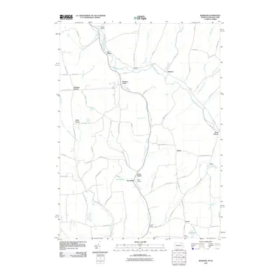 2010 Windham2010 Print · USGSThe borderlands of New York and Pennsylvania appear here as a network of rural hamlets and creek valleys. Genealogists can trace family footprints across five local cemeteries and historic settlements like Windham Center, North Orwell, and Russellville.
 - 2013 Map of Litchfield, 2013 Print
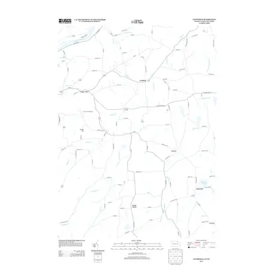 2013 Litchfield2013 Print · USGSThe rural borderlands of Tioga County are captured here in the early twenty-first century as they span the New York and Pennsylvania line. Researchers can trace local landmarks like Bumpville, Orange Hill, and the Sayre Reservoir.
 - 2013 Map of Rome, 2013 Print
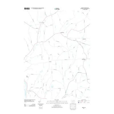 2013 Rome2013 Print · USGSBradford County’s rolling northern landscapes are captured here in the early twenty-first century, centered on the historic crossroads of Rome. Researchers can trace the winding paths of Wysox Cr or locate specific homestead areas near Allis Hollow and Herrickville.
 - 2013 Map of Towanda, 2013 Print
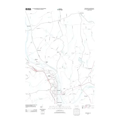 2013 Towanda2013 Print · USGSThe Susquehanna River valley in the early 2010s shows a landscape of riverfront boroughs and upland rural settlements. Researchers can trace the development of Towanda and Wysox, or locate local landmarks like Bald Eagle Island and Lake Wesauking.
 - 2013 Map of Windham, 2013 Print
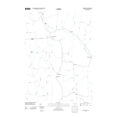 2013 Windham2013 Print · USGSThe Pennsylvania and New York border comes into focus in this early twenty-first-century survey of rural Tioga and Bradford counties. Genealogists and local historians can trace the paths between Windham Center, North Orwell, and family-named landmarks like Briggs Hollow.
 - 2016 Map of Rome, 2016 Print
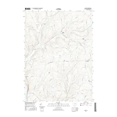 2016 Rome2016 Print · USGSBradford County’s rural uplands are shown in fine detail during the mid-2010s, centering on the borough of Rome and its surrounding hill country. Genealogists can trace dozens of local burial sites including Woodburn Cem, South Hill Cem, and the high-elevation Mercur Cem.
 - 2016 Map of Litchfield, 2016 Print
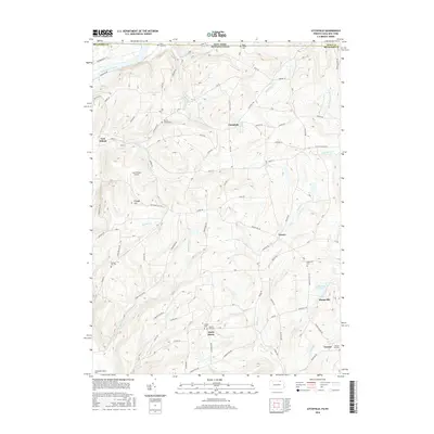 2016 Litchfield2016 Print · USGSThe Pennsylvania and New York border comes alive in this study of the rural highlands east of the Susquehanna River. Researchers can trace old family homesteads and burial grounds such as Trinket Cem, Bumpville Cem, and the Lars/Private Airport.
 - 2016 Map of Towanda, 2016 Print
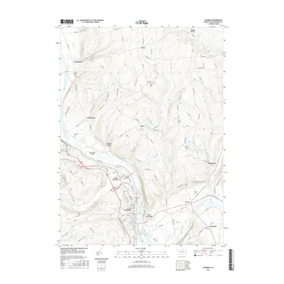 2016 Towanda2016 Print · USGSThe riverfront communities and upland ridges of Bradford County are recorded here in the mid-2010s. Genealogists and local historians can trace family roots through numerous burial sites like Gillette Family Cem, Gore Cem, and Wysox Cem.
Showing maps 1-25 of 34
Top cities near Rome Township
- Owego historical maps
- Barton historical maps
- Sayre historical maps
- Tioga historical maps
- Waverly historical maps
- Owego historical maps
See more
Top neighborhoods of Rome Township
Frequently asked questions
- What are the different types of historical maps available for Rome Township?
- What is the oldest map of Rome Township?
- Where can I purchase historical maps of Rome Township for my home or office?
- Where can I download high-res historical maps of Rome Township?
- Are there historical topographic maps available for Rome Township?
- Is there historical aerial imagery available for Rome Township?
- Where are historical maps of Rome Township sourced from?