Old Maps of Durham Township, Pennsylvania for Hiking & Exploration
Hike through history with 30 historic maps of Durham Township. Explore old trails, ghost towns, and forgotten backroads — perfect for outdoor adventurers and local explorers.
- Rediscover forgotten places: Map out old mining camps, roads, and footpaths that no longer exist on modern maps.
- Layer with modern tools: Combine with LiDAR or satellite views to plan hikes through historical terrain.
- Made for exploration: Popular among hikers, overlanders, and local history lovers.
Use these maps to find adventure and explore the hidden past of Durham Township.
Durham Township, PA maps
(30)- 1890 Map of Easton
 1890 Easton1890 Print · USGSThe Delaware River valley thrived as a transport hub during the 1890s, where three major canals and multiple railroads met at the Pennsylvania-New Jersey border. Genealogists and industrial historians can trace the paths of the Morris Canal, the works at Durham Furnace, and the strategic Musconetcong Tunnel.
 - 1891 Map of Easton
 1891 Easton1891 Print · USGSThe Delaware River valley thrived as a corridor of heavy industry and transit in the 1890s. Trace the path of historic waterways and early rail lines, including the Morris Canal, the ironworks at Durham Furnace, and rural crossroads like Still Valley.8 unique versions available
 - 1894 Map of Allentown
 1894 Allentown1894 Print · USGSThe Lehigh Valley's industrial heartland is caught in a moment of rapid Victorian-era growth along the river and canal corridor. Genealogists and local historians can trace the early footprints of Allentown and Nazareth, or locate vanished rail stops along the Lehigh Valley R.R. and Central R.R. of N.J.10 unique versions available
 - 1932 Map of Easton
 1932 Easton1932 Print · USGSThe Delaware River valley thrived as a corridor of industry and transport in the early 1930s, bridging Pennsylvania and New Jersey. Genealogists and historians can trace the legacy of early industry along the Morris Canal or locate local landmarks like St Josephs Ch and Mine Hill.5 unique versions available
 - 1939 Map of Allentown
 1939 Allentown1939 Print · USGSThe Lehigh Valley thrives as an industrial and aviation hub in the mid-1930s, where rail lines and early airfields meet historic Pennsylvania townships. Researchers can trace family roots through dozens of rural landmarks like Washington Sch, Christian Springs, and the Vera Cruz Sta.4 unique versions available
 - 1943 Map of Bethlehem
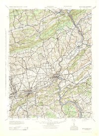 1943 Bethlehem1943 Print · USGSNorthampton and Lehigh counties hummed with industry and river commerce during the early war years. Researchers can trace the path of the Lehigh Valley RR, locate family-named landmarks like Chief Tatamy, and find rural schools such as Mexico School and Poplar Valley Sch.
 - 1943 Map of Riegelsville
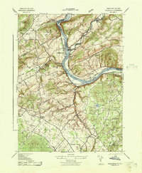 1943 Riegelsville1943 Print · USGSThe Delaware River corridor comes alive in the early 1940s, highlighting the industrial and transport ties between eastern Pennsylvania and New Jersey. Genealogists and historians can trace the foundations of local industry at Durham Furnace or locate family roots near Durham Union Church and the Finesville School.
 - 1944 Map of Newark, 1971 Print
 1944 Newark1971 Print · USGSThe industrial corridor from Philadelphia to New York was in a period of massive transition during the mid-forties. Genealogists and researchers can trace the rail lines of the Lehigh Valley RR, locate military installations like Picatinny Arsenal, and explore the early sprawl near Levittown.5 unique versions available
 - 1949 Map of Newark
 1949 Newark1949 Print · USGSThe industrial corridor between Philadelphia and New York comes alive in this post-war survey. Genealogists and historians can trace the massive rail networks of the Reading Railroad and locate major installations like Fort Dix or Picatinny Arsenal.2 unique versions available
 - 1953 Map of Riegelsville
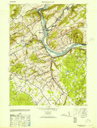 1953 Riegelsville1953 Print · USGSThe Delaware River valley straddles the Pennsylvania and New Jersey border in the early fifties, showcasing a landscape of industrial river towns and upland farms. Genealogists can locate family landmarks from Durham Furnace to Riegelsville, including St Lukes Church and the Stouts School.2 unique versions available
 - 1956 Map of Newark
 1956 Newark1956 Print · USGSThe industrial heart of the Mid-Atlantic is captured here at the dawn of the highway era, tracing the dense corridors between Newark and Philadelphia. Genealogists and local historians can map the rail networks of the Reading RR or locate mid-century military life at Fort Dix Military Reservation.2 unique versions available
 - 1956 Map of Riegelsville, 1958 Print
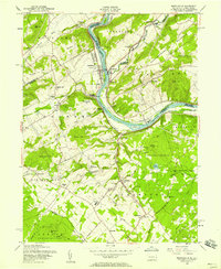 1956 Riegelsville1958 Print · USGSThe Delaware River valley in the mid-fifties reveals a landscape of ridge-top farms and industrial remnants near the New Jersey border. Researchers can locate family landmarks like the Durham Union Church, Township School, and the site of the Durham Furnace.6 unique versions available
 - 1957 Map of Newark
 1957 Newark1957 Print · USGSThe industrial and military heart of the Mid-Atlantic is mapped during its post-war suburban boom. Genealogists and historians can trace the intricate rail corridors of the Reading Railroad and locate key landmarks from Princeton University to Fort Hancock.
 - 1957 Map of Allentown, 1960 Print
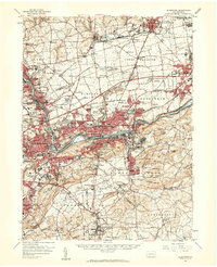 1957 Allentown1960 Print · USGSThe Lehigh Valley in the late fifties was a powerhouse of rail and industry centered on the river's winding path. Genealogists and local historians can trace the footprint of the State Hospital, early schools like Moravian College, and rural markers like Christ Springs Ch.3 unique versions available
 - 1960 Map of Newark
 1960 Newark1960 Print · USGSThe industrial heart of the Mid-Atlantic is shown at mid-century, stretching from the dense urban centers of Newark and Philadelphia to the Blue Mountain ridges. Researchers can trace historic rail lines, coastal defenses at Fort Hancock, and the riverfront growth of Trenton and Easton.3 unique versions available
 - 1964 Map of Newark
 1964 Newark1964 Print · USGSGreater New Jersey and eastern Pennsylvania appear at the peak of their industrial and rail-centered development in the mid-sixties. Genealogists and historians can trace the paths of the Pennsylvania RR, identify mid-century landmarks like CAMP KILMER, or follow the Schuylkill River through READING.2 unique versions available
 - 1965 Map of Hellertown, 1967 Print
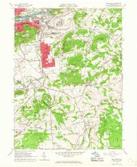 1965 Hellertown1967 Print · USGSThe Saucon Valley was thriving in the mid-sixties, with industry concentrated along the river while quiet rural townships remained largely unchanged. Genealogists can trace family names and sites through Nisky Hill Cemetery, St Josephs Cem, and the small community of Leithsville.4 unique versions available
 - 1984 Map of Allentown, 1985 Print
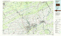 1984 Allentown1985 Print · USGSThe Lehigh Valley and southern Poconos are captured in the mid-eighties as industry and academic life converge along the river corridor. Trace the rail-and-water networks connecting Jim Thorpe and Bethlehem, or explore landmarks like Lehigh University and the Delaware Water Gap.3 unique versions available
 - 1997 Map of Riegelsville, 1999 Print
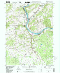 1997 Riegelsville1999 Print · USGSThe Delaware River valley at the turn of the millennium shows a landscape defined by historic industrial sites and riverside settlements. Researchers can trace local genealogy and land use through landmarks like Durham Furnace, Union Cem, and the Durham Sch.
 - 1999 Map of Hellertown, 2001 Print
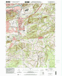 1999 Hellertown2001 Print · USGSHellertown and the Saucon Valley are captured here as they appeared just before the new millennium, showing the transition from Bethlehem's industrial riverfront to rural Bucks County. Genealogists can trace family landmarks like Nisky Hill Cemetery, Lost River Caverns, and the St Michaels Cem.
 - 2010 Map of Hellertown, 2010 Print
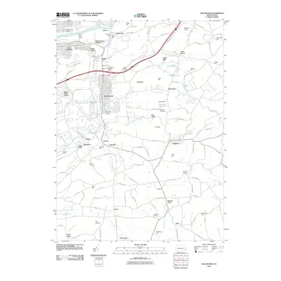 2010 Hellertown2010 Print · USGSThe boroughs and hamlets south of Bethlehem are shown at a time of modern density and suburban growth. Genealogists can locate family sites across HELLERTOWN, Shimersville, and Bingen, or trace the historic Lehigh Coal and Navigation Canal and Bethlehem Landing Field.
 - 2011 Map of Riegelsville, 2011 Print
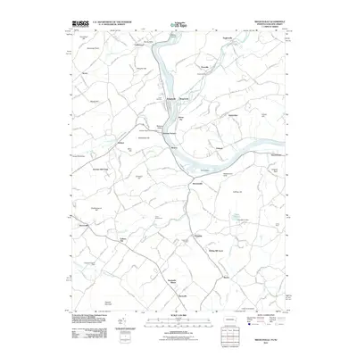 2011 Riegelsville2011 Print · USGSThe Delaware River valley at the start of the twenty-first century reveals a landscape of river-bend villages and early industrial sites. Local historians can trace the foundations of Durham Furnace, find old river crossings near Raubs Island, or locate Union Cemetery.
 - 2013 Map of Hellertown, 2013 Print
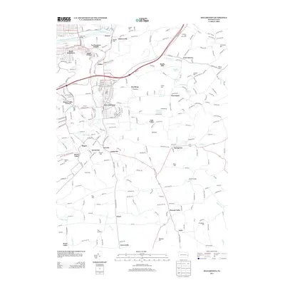 2013 Hellertown2013 Print · USGSCovers Durham Township, including Bethlehem, Lower Saucon Township, and other nearby areas
 - 2013 Map of Riegelsville, 2013 Print
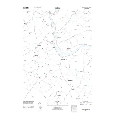 2013 Riegelsville2013 Print · USGSThe Delaware River valley comes alive in this study of the Pennsylvania-New Jersey border, showing a landscape defined by historic river towns and industrial heritage. Researchers can trace the layout of Durham Furnace, locate Haupts Mill Bridge, and explore named peaks like Hexenkopf Hill.
 - 2016 Map of Riegelsville, 2016 Print
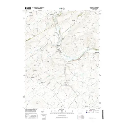 2016 Riegelsville2016 Print · USGSThe Delaware River valley at the border of New Jersey and Pennsylvania remains a landscape of industrial heritage and old river towns. Genealogists and historians can trace family locations at the Union / Riegelsville Union Cem or explore the iron history at Durham Furnace.
Showing maps 1-25 of 30
Top cities near Durham Township
- Allentown historical maps
- Bethlehem historical maps
- Easton historical maps
- Buckingham Township historical maps
- Phillipsburg historical maps
- Hilltown Township historical maps
See more
Top neighborhoods of Durham Township
Frequently asked questions
- What are the different types of historical maps available for Durham Township?
- What is the oldest map of Durham Township?
- Where can I purchase historical maps of Durham Township for my home or office?
- Where can I download high-res historical maps of Durham Township?
- Are there historical topographic maps available for Durham Township?
- Is there historical aerial imagery available for Durham Township?
- Where are historical maps of Durham Township sourced from?