2000s (21st Century) Maps of Jackson Township, Pennsylvania
Explore 20 historic maps of Jackson Township from the 2000s (21st Century). These maps offer a rare glimpse into what life looked like during the 2000s — showing old roads, neighborhoods, homes, and landmarks that have changed or disappeared over time.
Whether you're researching your family's past, planning a metal detecting trip, or studying how Jackson Township's landscape evolved across the 2000s, these high-resolution maps are a powerful tool for exploring the history of this region.
- Focus on a specific era: All maps on this page are from the 2000s, giving you a focused view of this time period.
- See what’s changed: Compare century-old streets, trails, and buildings to today's modern landscape using overlays and satellite layers.
- Research with precision: Use these maps for genealogy, historical research, land use analysis, or educational projects.
- View, download, or print: Maps are fully viewable online in high resolution, and can be downloaded or printed for your own records.
Start exploring Jackson Township's history through authentic maps from the 2000s. This is your window into the past.
Jackson Township, PA maps
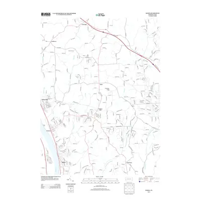
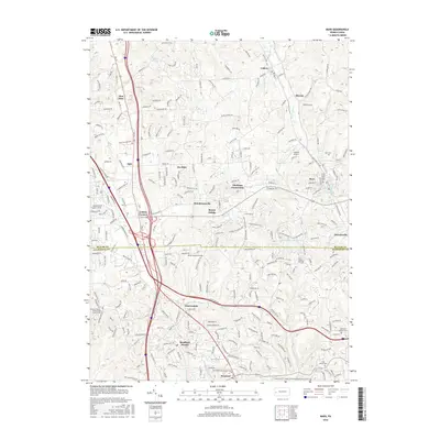
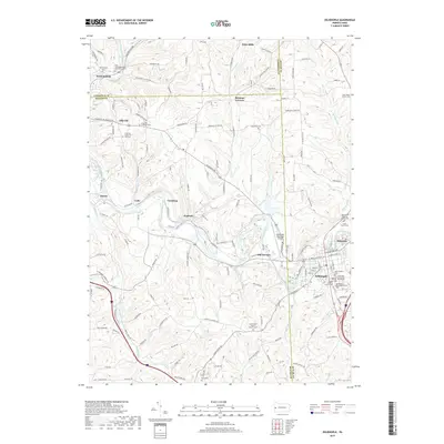
(20)- 2010 Map of Baden, 2010 Print
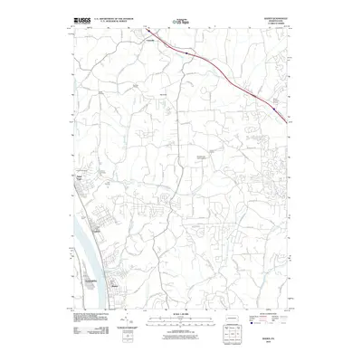 2010 Baden2010 Print · USGSCovers Jackson Township, including Cranberry Township, Center Township, and other nearby areas
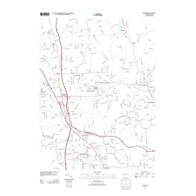
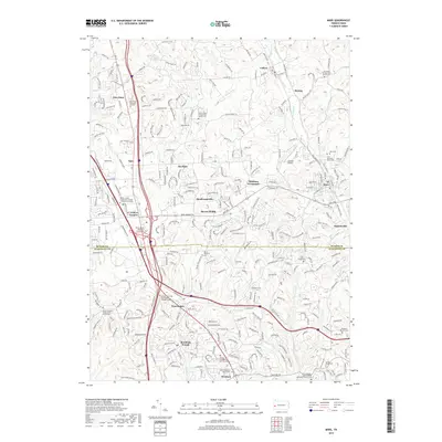
 - 2010 Map of Mars, 2010 Print
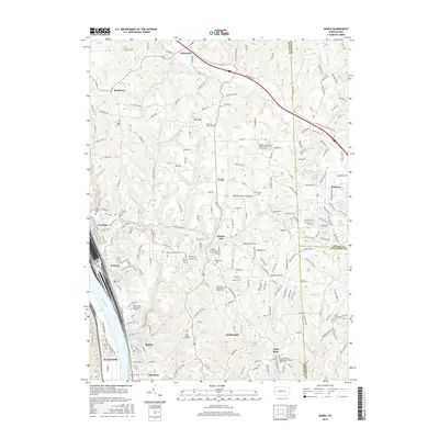
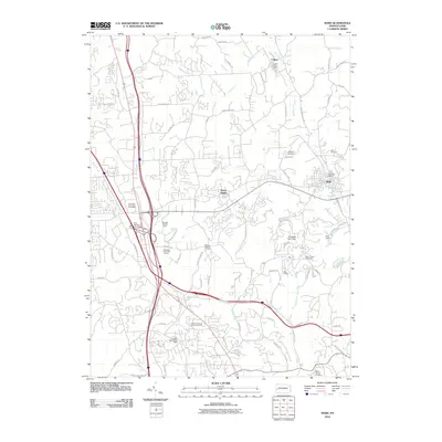 2010 Mars2010 Print · USGSCovers Jackson Township, including Cranberry Township, Seven Fields, and other nearby areas
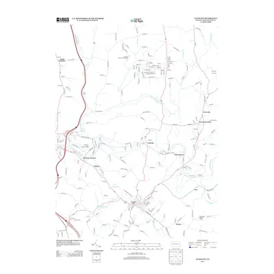
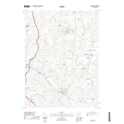
 - 2010 Map of Zelienople, 2010 Print
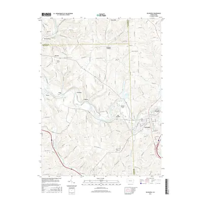
 2010 Zelienople2010 Print · USGSCovers Jackson Township, including Zelienople, Harmony, and other nearby areas
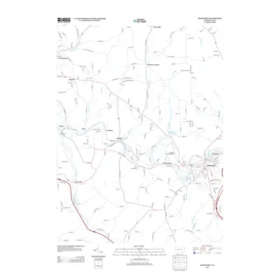
 - 2010 Map of Evans City, 2010 Print
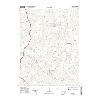
 2010 Evans City2010 Print · USGSCovers Jackson Township, including Evans City, Connoquenessing, and other nearby areas
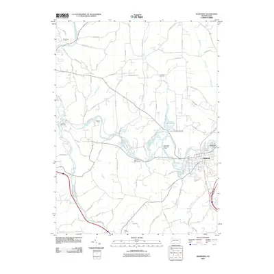
 - 2013 Map of Baden, 2013 Print
 2013 Baden2013 Print · USGSCovers Jackson Township, including Cranberry Township, Center Township, and other nearby areas
 - 2013 Map of Mars, 2013 Print
 2013 Mars2013 Print · USGSCovers Jackson Township, including Cranberry Township, Seven Fields, and other nearby areas
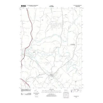
 - 2013 Map of Evans City, 2013 Print
 2013 Evans City2013 Print · USGSCovers Jackson Township, including Evans City, Connoquenessing, and other nearby areas
 - 2013 Map of Zelienople, 2013 Print
 2013 Zelienople2013 Print · USGSCovers Jackson Township, including Zelienople, Harmony, and other nearby areas
 - 2016 Map of Evans City, 2016 Print
 2016 Evans City2016 Print · USGSCovers Jackson Township, including Evans City, Connoquenessing, and other nearby areas
 - 2016 Map of Baden, 2016 Print
 2016 Baden2016 Print · USGSCovers Jackson Township, including Cranberry Township, Center Township, and other nearby areas
 - 2016 Map of Mars, 2016 Print
 2016 Mars2016 Print · USGSCovers Jackson Township, including Cranberry Township, Seven Fields, and other nearby areas
 - 2016 Map of Zelienople, 2016 Print
 2016 Zelienople2016 Print · USGSCovers Jackson Township, including Zelienople, Harmony, and other nearby areas
 - 2019 Map of Zelienople, 2019 Print
 2019 Zelienople2019 Print · USGSCovers Jackson Township, including Zelienople, Harmony, and other nearby areas
 - 2019 Map of Evans City, 2019 Print
 2019 Evans City2019 Print · USGSCovers Jackson Township, including Evans City, Connoquenessing, and other nearby areas
 - 2019 Map of Mars, 2019 Print
 2019 Mars2019 Print · USGSCovers Jackson Township, including Cranberry Township, Seven Fields, and other nearby areas
 - 2019 Map of Baden, 2019 Print
 2019 Baden2019 Print · USGSCovers Jackson Township, including Cranberry Township, Center Township, and other nearby areas
 - 2023 Map of Baden, 2023 Print
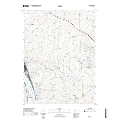
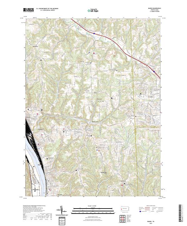 2023 Baden2023 Print · USGSThe industrial river towns of Beaver County meet the upland ridges of southwestern Pennsylvania in this recent topographical study. Genealogists can locate family burial sites like Cron's German Lutheran Church Cem and Rehoboth Cem or trace the early paths of Crows Run and Snake Run.
 - 2023 Map of Zelienople, 2023 Print
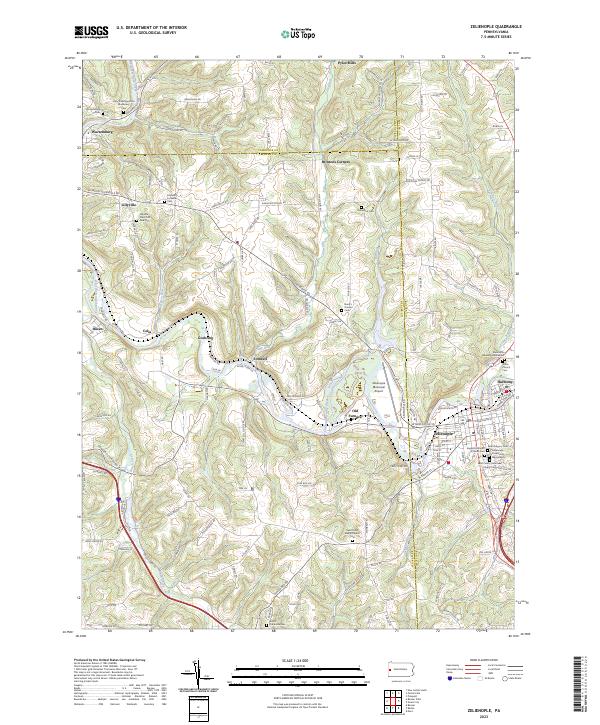 2023 Zelienople2023 Print · USGSModern-day Butler County maintains its deep communal roots where Zelienople and Harmony meet. Researchers can trace local history through dozens of named sites like the Mennonite Meeting House and the Old Furnace settlement.
 - 2023 Map of Mars, 2023 Print
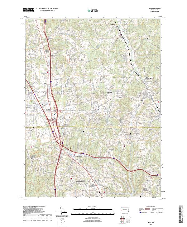 2023 Mars2023 Print · USGSThe borderlands of Butler and Allegheny Counties are shown here during a period of significant suburban growth. Genealogists can locate numerous local burial sites like Old Union Presbyterian Church Cem and Mars Cem, while tracing the development of Seven Fields and Warrendale.
 - 2023 Map of Evans City, 2023 Print
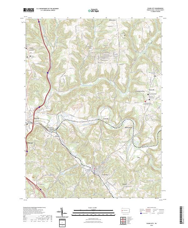 2023 Evans City2023 Print · USGSEvans City and the surrounding Butler County valleys are documented here in the early twenty-first century. Genealogists can trace family names across numerous sites like Evans City Cem and the Harmonist Society Cem.
End of results
Showing maps 1-20 of 20
Top cities near Jackson Township
- McCandless historical maps
- Cranberry Township historical maps
- Moon Township historical maps
- New Castle historical maps
- Butler historical maps
- Franklin Park historical maps
See more
Top neighborhoods of Jackson Township
Frequently asked questions
- What are the different types of historical maps available for Jackson Township?
- What is the oldest map of Jackson Township?
- Where can I purchase historical maps of Jackson Township for my home or office?
- Where can I download high-res historical maps of Jackson Township?
- Are there historical topographic maps available for Jackson Township?
- Is there historical aerial imagery available for Jackson Township?
- Where are historical maps of Jackson Township sourced from?