Old Maps of Jackson Township, Pennsylvania for Academic Research
Study the evolution of Jackson Township with 33 high-resolution historic maps. Whether you're teaching, researching, or modeling changes in land use, these maps provide essential visual documentation of urban, environmental, and geographic change.
- Analyze long-term change: Track patterns in development, transportation, and natural features.
- Ideal for environmental or urban studies: Support academic projects with primary historical map data.
- Use in the classroom or lab: Educators and researchers rely on these maps to bring historical context to life.
These maps are a powerful tool for teaching, research, and visualizing how Jackson Township has changed over the decades.
Jackson Township, PA maps
(33)- 1906 Map of Sewickley, 1960 Print
 1906 Sewickley1960 Print · USGSWestern Pennsylvania’s river-and-rail corridor is captured here at the start of the century, showing the industrial development along the Ohio River. Researchers can trace early infrastructure like Dam No 4 or locate landmarks such as the Camp Meeting Grounds and Parks Quarries.
 - 1908 Map of Sewickley
 1908 Sewickley1908 Print · USGSThe industrial corridor of the Ohio River valley is captured here in the early twentieth century, showing a landscape defined by steam-era transport and valley settlements. Researchers can trace the riverfront rail networks of the Pennsylvania System and locate historic landmarks like Aliquippa Park and the Campmeeting Grounds.7 unique versions available
 - 1908 Map of Zelienople, 1963 Print
 1908 Zelienople1963 Print · USGSButler County and parts of Lawrence and Beaver Counties are shown in the first decade of the 1900s, when the region's river-and-rail economy was in full swing. Genealogists and historians can trace family roots at McConnells Mill, locate schools like Tollgate School, or explore the early streets of Zelienople and Harmony.
 - 1910 Map of Zelienople
 1910 Zelienople1910 Print · USGSWestern Pennsylvania in the early twentieth century is a landscape of thriving creek-side towns and intersecting rail lines. Genealogists can trace family roots through numerous rural landmarks like McConnells Mill, Zion Church, and the many country schoolhouses including American School.5 unique versions available
 - 1951 Map of Canton
 1951 Canton1951 Print · USGSThe industrial heartland of Ohio and Pennsylvania reached its mid-century peak during this era of heavy rail and river transit. Genealogists and historians can trace the development of steel towns like Aliquippa and Weirton alongside the Ohio River and major lines of the Pennsylvania RR.
 - 1953 Map of Canton
 1953 Canton1953 Print · USGSThe industrial heartland of Ohio and Pennsylvania is captured at its mid-century peak in this detailed regional survey. Genealogists and historians can trace the vast rail networks of the Pennsylvania RR and find local landmarks like Nimisila Reservoir and Tappan Reservoir.
 - 1953 Map of Baden, 1955 Print
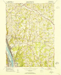 1953 Baden1955 Print · USGSThe industrial riverfronts and rural uplands of Beaver County meet in the early 1950s along the Ohio River. Researchers can trace the rail networks of the Pennsylvania and local landmarks like Mt Gallitzin Academy and Big Knob Grange.7 unique versions available
 - 1953 Map of Mars, 1955 Print
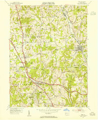 1953 Mars1955 Print · USGSButler and Allegheny counties are shown in the early fifties as small communities like Mars and Callery began to feel the influence of the Pennsylvania Turnpike. Local historians can trace old schools and churches such as Thorn Hill Industrial School, Cranberry Sch, and Dutilh Ch.5 unique versions available
 - 1957 Map of Canton, 1971 Print
 1957 Canton1971 Print · USGSThe industrial heartland of eastern Ohio and western Pennsylvania comes alive in this mid-century survey of the Ohio River Valley. Trace the heritage of rail and river commerce through Pittsburgh, the massive steel towns along the Ohio River, and major junctions on the Pennsylvania RR.3 unique versions available
 - 1958 Map of Evans City, 1959 Print
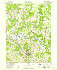 1958 Evans City1959 Print · USGSButler County in the late fifties reveals a landscape of winding creeks and coal mining operations. Trace the path of the Baltimore and Ohio railroad through Evans City and discover landmarks like Stamm Sch and Harmony Junction.5 unique versions available
 - 1958 Map of Zelienople, 1959 Print
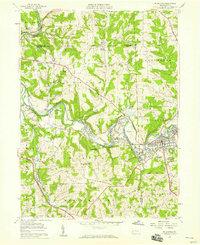 1958 Zelienople1959 Print · USGSZelienople and the Connoquenessing valley appear in the late fifties as coal mining and rail transport shaped the Butler County border. Genealogists can locate family landmarks like St Johns Ch, Wurtemburg Cem, and the Lillyville Sch during a period of industrial expansion.7 unique versions available
 - 1962 Map of Canton
 1962 Canton1962 Print · USGSThe industrial heartland of Eastern Ohio and Western Pennsylvania thrives in the early sixties as steel mills and rail lines dominate the river valleys. Genealogists and historians can trace local landmarks like McKinley National Memorial, Malone College, and industrial sites such as Republic Steel Corp.2 unique versions available
 - 1986 Map of East Liverpool
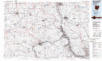 1986 East Liverpool1986 Print · USGSThe tri-state border region in the 1980s reveals a landscape shaped by the Ohio River and a massive rail network. Researchers can trace the industrial footprint of East Liverpool and Midland or locate inland landmarks like Pine Lake and Strip Mines.2 unique versions available
 - 2010 Map of Baden, 2010 Print
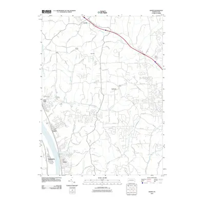 2010 Baden2010 Print · USGSThe industrial riverfronts of Beaver County and the uplands of Butler County meet here during the early twenty-first century. Researchers can trace the massive rail infrastructure at Conway Yard or locate family roots at Boggs Cemetery and the Big Knob Grange.
 - 2010 Map of Mars, 2010 Print
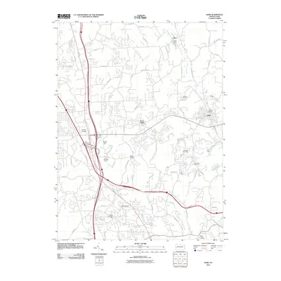 2010 Mars2010 Print · USGSButler County witnessed significant suburban development and infrastructure growth during the early twenty-first century. Researchers can trace historical lineage through Mars Cemetery and Salem Church Cemetery or locate landmarks like the Callery Post Office.
 - 2010 Map of Zelienople, 2010 Print
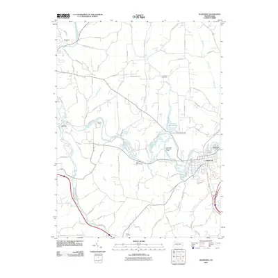 2010 Zelienople2010 Print · USGSZelienople and Harmony are captured here at the start of the 2010s, showcasing the region's unique concentration of historic creek-side settlements and summer camps. Genealogists can trace family footprints across Wurtemburg Cemetery and Camp Run Cemetery or locate the old Hartzell School Rd.
 - 2010 Map of Evans City, 2010 Print
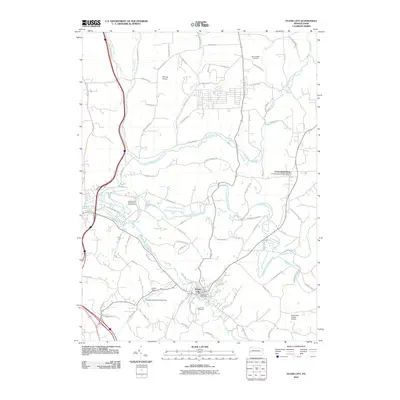 2010 Evans City2010 Print · USGSEvans City and the surrounding Butler County countryside appear in this early twenty-first-century survey during a period of modern rural development. Local historians can trace family locations near the Evans City Cemetery or locate landmarks like the Pabst Blue Ribbon Airport and Connoquenessing.
 - 2013 Map of Baden, 2013 Print
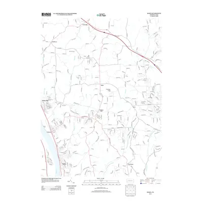 2013 Baden2013 Print · USGSThe industrial corridor of the Ohio River and the sprawling Conway Yard are documented here in the early twenty-first century. Genealogists and historians can trace family-named sites and landmarks like Big Knob Grange, Park Quarries, and Wallace City.
 - 2013 Map of Mars, 2013 Print
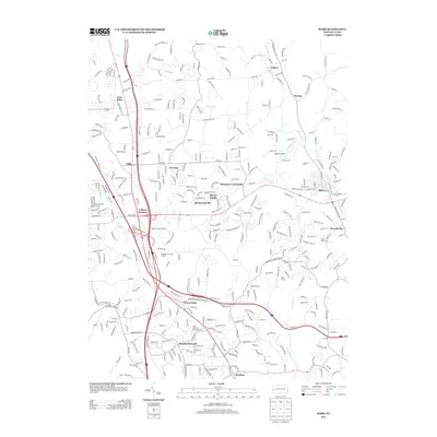 2013 Mars2013 Print · USGSSouthern Butler County in the early twenty-first century reveals a landscape shaped by major highways and rapid growth. Researchers can trace the development of Seven Fields and Warrendale or locate community landmarks like Hope Grange and Lakehill Airport.
 - 2013 Map of Evans City, 2013 Print
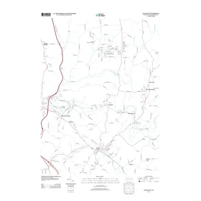 2013 Evans City2013 Print · USGSButler County's rural and residential character is on full display here in the early twenty-first century. Researchers can trace the development of crossroads like Wahlville or locate specific local landmarks such as Buhls Station and Pabst Blue Ribbon Airport.
 - 2013 Map of Zelienople, 2013 Print
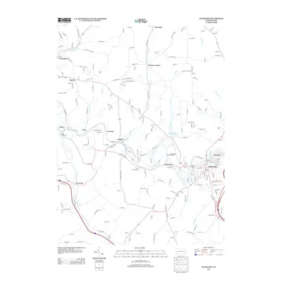 2013 Zelienople2013 Print · USGSButler County at the start of the 2010s shows a landscape of historic river towns and active recreation sites. Researchers can trace the layout of Zelienople, locate Camp Kon-O-Kwee, or identify the residential patterns near Harmony and Old Furnace.
 - 2016 Map of Evans City, 2016 Print
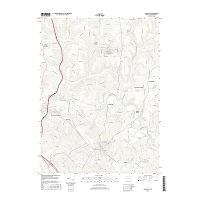 2016 Evans City2016 Print · USGSButler County's rolling valley terrain comes into focus in this mid-2010s survey of Evans City and its surrounding hamlets. Researchers can trace the layout of small communities like Wahlville and Eidenau or locate specific local landmarks such as Mount Nebo Cem and the Pabst Blue Ribbon Airport.
 - 2016 Map of Baden, 2016 Print
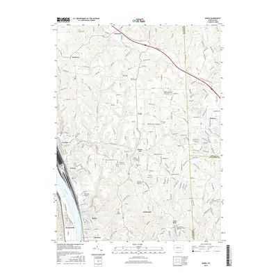 2016 Baden2016 Print · USGSThe industrial riverfronts of Beaver County meet the rural plateaus of Butler County in this mid-2010s survey. Genealogists can trace family roots through numerous sites like Rehoboth Cem, Saint Matthew's Evangelical Lutheran Church Cem, and the settlement of Wall Rose.
 - 2016 Map of Mars, 2016 Print
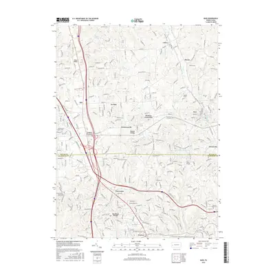 2016 Mars2016 Print · USGSCranberry Township and its neighboring boroughs are shown in high detail during this period of 2010s growth. Genealogists can locate several burial grounds and community centers including Saint Alphonsus Church Cem, Mars Cem, and Thielman Crossroads.
 - 2016 Map of Zelienople, 2016 Print
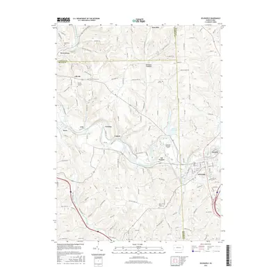 2016 Zelienople2016 Print · USGSZelienople and Harmony sit at the heart of this three-county border region during the mid-2010s. Genealogists and historians can trace family locations at Saint Johns Burrys Church Cem, Old Furnace, and Lillyville.
Showing maps 1-25 of 33
Top cities near Jackson Township
- McCandless historical maps
- Cranberry Township historical maps
- Moon Township historical maps
- New Castle historical maps
- Butler historical maps
- Franklin Park historical maps
See more
Top neighborhoods of Jackson Township
Frequently asked questions
- What are the different types of historical maps available for Jackson Township?
- What is the oldest map of Jackson Township?
- Where can I purchase historical maps of Jackson Township for my home or office?
- Where can I download high-res historical maps of Jackson Township?
- Are there historical topographic maps available for Jackson Township?
- Is there historical aerial imagery available for Jackson Township?
- Where are historical maps of Jackson Township sourced from?