Old Maps of Jefferson Township, Pennsylvania for Metal Detecting
Plan your next treasure hunt with 34 historic maps of Jefferson Township. Find old homesites, ghost towns, trails, and gathering spots that may be lost to time — perfect for identifying promising metal detecting locations.
- Locate forgotten sites: Uncover places like long-lost settlements, abandoned rail lines, or gathering spots.
- Plan better hunts: Use map overlays combined with LiDAR or satellite views to narrow in on historically rich areas.
- Made for detectorists: Thousands of hobbyists use these maps to discover relics, coins, and hidden history.
Use these historic maps to boost your research and find new opportunities beneath the surface of Jefferson Township.
Jefferson Township, PA maps
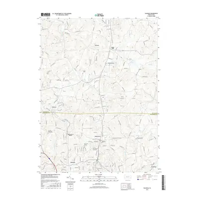
(34)- 1908 Map of New Kensington, 1956 Print
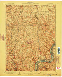
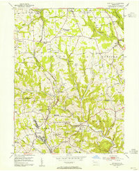
 1908 New Kensington1956 Print · USGSThe Allegheny River valley and its surrounding townships are captured here at the start of the twentieth century. Researchers can trace early railroad stops at Allison Park Sta, find rural landmarks like Sandy Hill School, and locate the Fulton Ferry crossing.
 - 1909 Map of Butler, 1957 Print
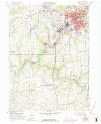
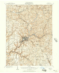 1909 Butler1957 Print · USGSButler and its surrounding townships thrive at the peak of the rail era, before the dominance of modern highways. Genealogists can trace family roots through numerous local schools and churches, from Lyndora and Unionville to White Church and Elliott School.2 unique versions available
 - 1910 Map of New Kensington
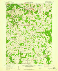
 1910 New Kensington1910 Print · USGSThe industrial Allegheny River corridor and its rugged hinterlands come alive in this 1910 survey of the Westmoreland and Butler County borders. Genealogists and historians can trace family roots through labels for Sandy Hill School, Clinton Church, and the settlement at Saxonburg.7 unique versions available
 - 1911 Map of Butler
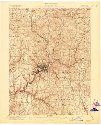 1911 Butler1911 Print · USGSButler emerges as a bustling rail and trolley hub during the first decade of the twentieth century. Genealogists and local historians can trace the paths of the Pittsburg and Butler Electric Railway or locate family homesteads near Frazier Mill and White Church.5 unique versions available
 - 1950 Map of Valencia, 1952 Print
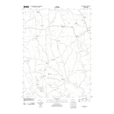
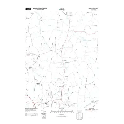
 1950 Valencia1952 Print · USGSThe borderlands of Butler and Allegheny Counties are captured at mid-century as rural life met growing institutions and industry. Researchers can trace the rail-side growth of Valencia and Bakerstown, locate family landmarks like Galbreath School No 2, and find the Mine Dump near Bairdford.5 unique versions available
 - 1953 Map of Pittsburgh
 1953 Pittsburgh1953 Print · USGSWestern Pennsylvania's industrial landscape at the start of the fifties shows the steel and rail corridors between Pittsburgh and Altoona. Trace family roots in river towns like Tarentum or follow the Pennsylvania Turnpike across Laurel Hill.
 - 1953 Map of Curtisville, 1955 Print
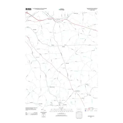
 1953 Curtisville1955 Print · USGSThe mining and railroad culture of northern Allegheny County is captured here in the mid-1950s. Trace the Bessemer and Lake Erie rail line through Curtisville and Culmerville to find family-named churches, Mine No 1, and the Culmerville Airport.3 unique versions available
 - 1954 Map of Pittsburgh
 1954 Pittsburgh1954 Print · USGSWestern Pennsylvania in the early fifties remains a powerhouse of heavy industry and vital transit corridors. Genealogists and historians can trace the rail-and-river network connecting Pittsburgh, Johnstown, and Altoona via the Pennsylvania RR and the Lincoln Highway.2 unique versions available
 - 1958 Map of Pittsburgh
 1958 Pittsburgh1958 Print · USGSWestern Pennsylvania in the late fifties shows an industrial heartland defined by the confluence of the Allegheny River and Monongahela River. Researchers can trace the sprawling rail networks of the Pennsylvania RR and find established towns like Butler, Latrobe, and Windber.5 unique versions available
 - 1958 Map of Butler
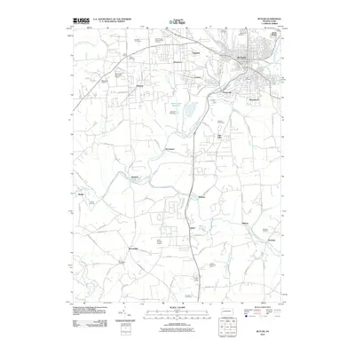
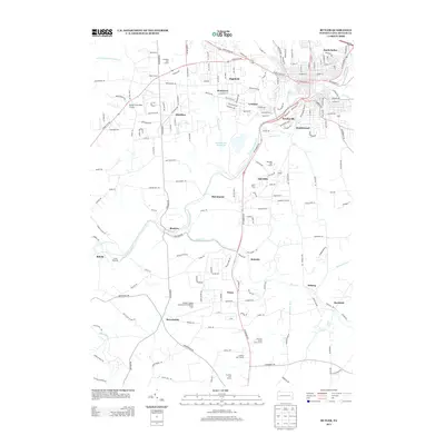
 1958 Butler1958 Print · USGSButler and its industrial suburbs thrive during the late fifties as a major rail hub for three different lines. Researchers can trace family roots at Old Brownsdale Cem, locate the old Deshon V-A Hospital, or find vanished landmarks like the Drive-in Theater.3 unique versions available
 - 1958 Map of Saxonburg, 1959 Print
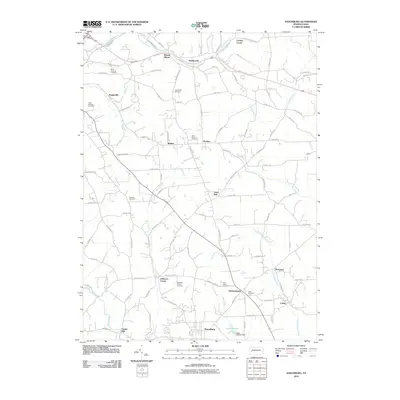
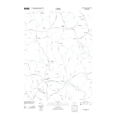
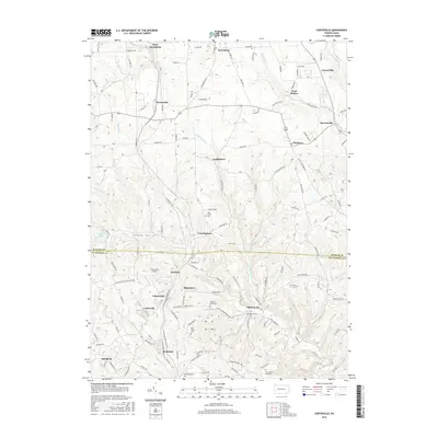
 1958 Saxonburg1959 Print · USGSButler County in the late fifties is captured here as a landscape of small rail-side hamlets and hilltop schoolhouses. You can trace the legacy of local families through Gruenwalt Cem and Jefferson Center Cem, or follow the busy tracks of the Baltimore and Ohio railroad.4 unique versions available
 - 1959 Map of Pittsburgh
 1959 Pittsburgh1959 Print · USGSWestern Pennsylvania in the late fifties is captured here at the height of its industrial era. Genealogists and historians can trace the riverfront growth of Pittsburgh, the rail works at Altoona, and the mountain gaps of Laurel Hill.
 - 1964 Map of Pittsburgh
 1964 Pittsburgh1964 Print · USGSWestern Pennsylvania in the late fifties and early sixties shows a landscape of powerful river industries and expanding highways. Genealogists and historians can trace the rail corridors of the Pennsylvania RR through industrial hubs like Johnstown, Altoona, and Nanty Glo.
 - 1983 Map of Indiana
 1983 Indiana1983 Print · USGSWestern Pennsylvania in the early eighties shows a landscape of industrial river towns and expanding university campuses. Genealogists can trace family roots through Lucernemines and Spring Church, or locate ancestors in Oakland Cemetery.
 - 2010 Map of Valencia, 2010 Print
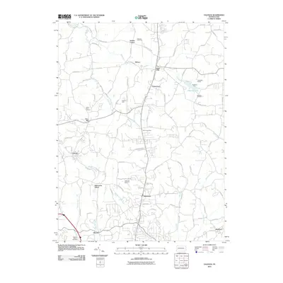 2010 Valencia2010 Print · USGSCovers Jefferson Township, including Clinton Township, Bairdford, and other nearby areas
 - 2010 Map of Saxonburg, 2010 Print
 2010 Saxonburg2010 Print · USGSCovers Jefferson Township, including Saxonburg, Brinker, and other nearby areas
 - 2010 Map of Butler, 2010 Print
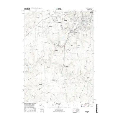
 2010 Butler2010 Print · USGSCovers Jefferson Township, including Butler, Connoquenessing Township, and other nearby areas
 - 2010 Map of Curtisville, 2010 Print
 2010 Curtisville2010 Print · USGSCovers Jefferson Township, including Clinton Township, Curtisville, and other nearby areas
 - 2013 Map of Saxonburg, 2013 Print
 2013 Saxonburg2013 Print · USGSCovers Jefferson Township, including Saxonburg, Brinker, and other nearby areas
 - 2013 Map of Valencia, 2013 Print
 2013 Valencia2013 Print · USGSCovers Jefferson Township, including Clinton Township, Bairdford, and other nearby areas
 - 2013 Map of Butler, 2013 Print
 2013 Butler2013 Print · USGSCovers Jefferson Township, including Butler, Connoquenessing Township, and other nearby areas
 - 2013 Map of Curtisville, 2013 Print
 2013 Curtisville2013 Print · USGSCovers Jefferson Township, including Clinton Township, Curtisville, and other nearby areas
 - 2016 Map of Butler, 2016 Print
 2016 Butler2016 Print · USGSCovers Jefferson Township, including Butler, Connoquenessing Township, and other nearby areas
 - 2016 Map of Valencia, 2016 Print
 2016 Valencia2016 Print · USGSCovers Jefferson Township, including Clinton Township, Bairdford, and other nearby areas
 - 2016 Map of Curtisville, 2016 Print
 2016 Curtisville2016 Print · USGSCovers Jefferson Township, including Clinton Township, Curtisville, and other nearby areas
Showing maps 1-25 of 34
Top cities near Jefferson Township
- McCandless historical maps
- Butler historical maps
- New Kensington historical maps
- Lower Burrell historical maps
- Harrison Township historical maps
- Arnold historical maps
See more
Top neighborhoods of Jefferson Township
- Frazier Mill historical maps
- Hannahstown historical maps
- Jefferson Center historical maps
- Great Belt historical maps
- West Saxonburg historical maps
Frequently asked questions
- What are the different types of historical maps available for Jefferson Township?
- What is the oldest map of Jefferson Township?
- Where can I purchase historical maps of Jefferson Township for my home or office?
- Where can I download high-res historical maps of Jefferson Township?
- Are there historical topographic maps available for Jefferson Township?
- Is there historical aerial imagery available for Jefferson Township?
- Where are historical maps of Jefferson Township sourced from?