Old Maps of Valencia, Pennsylvania for Academic Research
Study the evolution of Valencia with 14 high-resolution historic maps. Whether you're teaching, researching, or modeling changes in land use, these maps provide essential visual documentation of urban, environmental, and geographic change.
- Analyze long-term change: Track patterns in development, transportation, and natural features.
- Ideal for environmental or urban studies: Support academic projects with primary historical map data.
- Use in the classroom or lab: Educators and researchers rely on these maps to bring historical context to life.
These maps are a powerful tool for teaching, research, and visualizing how Valencia has changed over the decades.
Valencia, PA maps
(14)- 1908 Map of New Kensington, 1956 Print
 1908 New Kensington1956 Print · USGSThe Allegheny River valley and its surrounding townships are captured here at the start of the twentieth century. Researchers can trace early railroad stops at Allison Park Sta, find rural landmarks like Sandy Hill School, and locate the Fulton Ferry crossing.
 - 1910 Map of New Kensington
 1910 New Kensington1910 Print · USGSThe industrial Allegheny River corridor and its rugged hinterlands come alive in this 1910 survey of the Westmoreland and Butler County borders. Genealogists and historians can trace family roots through labels for Sandy Hill School, Clinton Church, and the settlement at Saxonburg.7 unique versions available
 - 1950 Map of Valencia, 1952 Print
 1950 Valencia1952 Print · USGSThe borderlands of Butler and Allegheny Counties are captured at mid-century as rural life met growing institutions and industry. Researchers can trace the rail-side growth of Valencia and Bakerstown, locate family landmarks like Galbreath School No 2, and find the Mine Dump near Bairdford.5 unique versions available
 - 1953 Map of Pittsburgh
 1953 Pittsburgh1953 Print · USGSWestern Pennsylvania's industrial landscape at the start of the fifties shows the steel and rail corridors between Pittsburgh and Altoona. Trace family roots in river towns like Tarentum or follow the Pennsylvania Turnpike across Laurel Hill.
 - 1954 Map of Pittsburgh
 1954 Pittsburgh1954 Print · USGSWestern Pennsylvania in the early fifties remains a powerhouse of heavy industry and vital transit corridors. Genealogists and historians can trace the rail-and-river network connecting Pittsburgh, Johnstown, and Altoona via the Pennsylvania RR and the Lincoln Highway.2 unique versions available
 - 1958 Map of Pittsburgh
 1958 Pittsburgh1958 Print · USGSWestern Pennsylvania in the late fifties shows an industrial heartland defined by the confluence of the Allegheny River and Monongahela River. Researchers can trace the sprawling rail networks of the Pennsylvania RR and find established towns like Butler, Latrobe, and Windber.5 unique versions available
 - 1959 Map of Pittsburgh
 1959 Pittsburgh1959 Print · USGSWestern Pennsylvania in the late fifties is captured here at the height of its industrial era. Genealogists and historians can trace the riverfront growth of Pittsburgh, the rail works at Altoona, and the mountain gaps of Laurel Hill.
 - 1964 Map of Pittsburgh
 1964 Pittsburgh1964 Print · USGSWestern Pennsylvania in the late fifties and early sixties shows a landscape of powerful river industries and expanding highways. Genealogists and historians can trace the rail corridors of the Pennsylvania RR through industrial hubs like Johnstown, Altoona, and Nanty Glo.
 - 1983 Map of Indiana
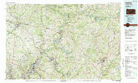 1983 Indiana1983 Print · USGSWestern Pennsylvania in the early eighties shows a landscape of industrial river towns and expanding university campuses. Genealogists can trace family roots through Lucernemines and Spring Church, or locate ancestors in Oakland Cemetery.
 - 2010 Map of Valencia, 2010 Print
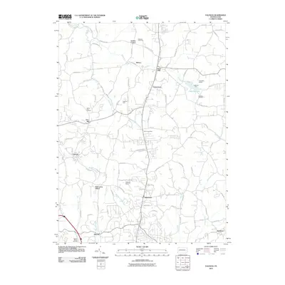 2010 Valencia2010 Print · USGSSouthern Butler County at the start of the 2010s shows a landscape of small hamlets and winding creeks. Researchers can trace family sites near Mount Olive Cemetery or explore the historical footprint of Bakerstown Station and Hays Mill.
 - 2013 Map of Valencia, 2013 Print
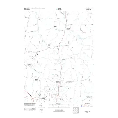 2013 Valencia2013 Print · USGSButler County as it appeared in the early 21st century reveals a landscape of established boroughs and developing residential corridors. Researchers can trace the evolution of local industry and infrastructure from Glade Mills to the site of the Bakerstown Station.
 - 2016 Map of Valencia, 2016 Print
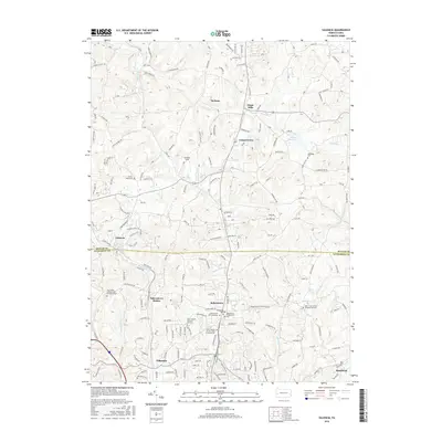 2016 Valencia2016 Print · USGSThe northern Pittsburgh suburbs and Butler County borderlands are shown here in the mid-2010s, tracing a landscape of growing residential communities and well-preserved local history. Genealogists and researchers can locate numerous burial sites, including the Poale Zedeck Memorial Park Cem and Holy Savior Catholic Cem and Mausoleum.
 - 2019 Map of Valencia, 2019 Print
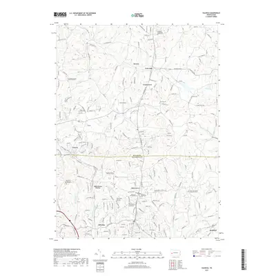 2019 Valencia2019 Print · USGSThe border of Butler and Allegheny Counties comes into focus during this modern era of suburban growth and preserved history. Genealogists can locate family sites at the Old Adams Township Valencia Road Cem, Mount Olive Cem, and Bakerstown Station.
 - 2023 Map of Valencia, 2023 Print
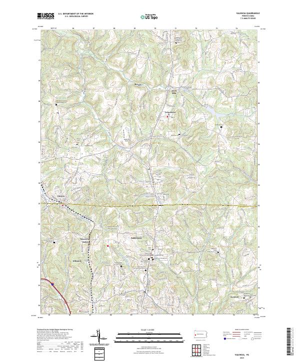 2023 Valencia2023 Print · USGSThe borderlands of Butler and Allegheny counties are captured here in the early twenty-first century, showing the evolving suburban landscape north of Pittsburgh. Genealogists can locate several local landmarks and burial grounds, including Mount Olive Cem, Bakerstown, and Glade Mills.
End of results
Showing maps 1-14 of 14
Frequently asked questions
- What are the different types of historical maps available for Valencia?
- What is the oldest map of Valencia?
- Where can I purchase historical maps of Valencia for my home or office?
- Where can I download high-res historical maps of Valencia?
- Are there historical topographic maps available for Valencia?
- Is there historical aerial imagery available for Valencia?
- Where are historical maps of Valencia sourced from?