2000s (21st Century) Maps of Chest Township, Pennsylvania
Explore 10 historic maps of Chest Township from the 2000s (21st Century). These maps offer a rare glimpse into what life looked like during the 2000s — showing old roads, neighborhoods, homes, and landmarks that have changed or disappeared over time.
Whether you're researching your family's past, planning a metal detecting trip, or studying how Chest Township's landscape evolved across the 2000s, these high-resolution maps are a powerful tool for exploring the history of this region.
- Focus on a specific era: All maps on this page are from the 2000s, giving you a focused view of this time period.
- See what’s changed: Compare century-old streets, trails, and buildings to today's modern landscape using overlays and satellite layers.
- Research with precision: Use these maps for genealogy, historical research, land use analysis, or educational projects.
- View, download, or print: Maps are fully viewable online in high resolution, and can be downloaded or printed for your own records.
Start exploring Chest Township's history through authentic maps from the 2000s. This is your window into the past.
Chest Township, PA maps
(10)- 2010 Map of Coalport, 2010 Print
 2010 Coalport2010 Print · USGSCovers Chest Township, including Beccaria Township, Coalport, and other nearby areas
 - 2010 Map of Hastings, 2010 Print
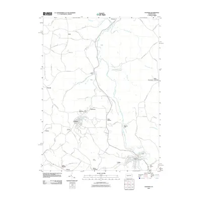 2010 Hastings2010 Print · USGSCovers Chest Township, including Patton, Hastings, and other nearby areas
 - 2013 Map of Coalport, 2013 Print
 2013 Coalport2013 Print · USGSCovers Chest Township, including Beccaria Township, Coalport, and other nearby areas
 - 2013 Map of Hastings, 2013 Print
 2013 Hastings2013 Print · USGSCovers Chest Township, including Patton, Hastings, and other nearby areas
 - 2016 Map of Hastings, 2016 Print
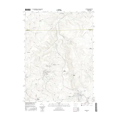 2016 Hastings2016 Print · USGSCovers Chest Township, including Patton, Hastings, and other nearby areas
 - 2016 Map of Coalport, 2016 Print
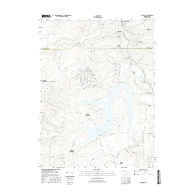 2016 Coalport2016 Print · USGSCovers Chest Township, including Beccaria Township, Coalport, and other nearby areas
 - 2019 Map of Hastings, 2019 Print
 2019 Hastings2019 Print · USGSCovers Chest Township, including Patton, Hastings, and other nearby areas
 - 2019 Map of Coalport, 2019 Print
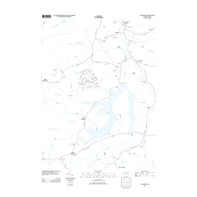
 2019 Coalport2019 Print · USGSCovers Chest Township, including Beccaria Township, Coalport, and other nearby areas
 - 2023 Map of Hastings, 2023 Print
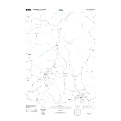
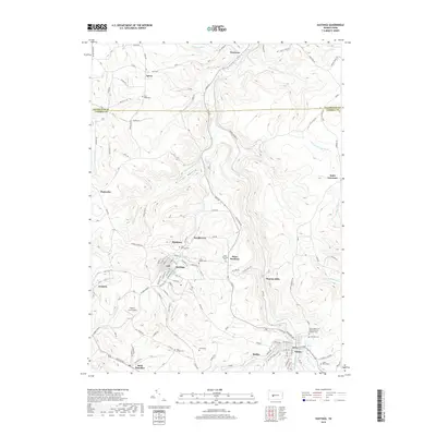
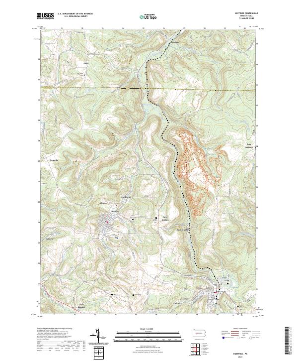 2023 Hastings2023 Print · USGSNorthern Cambria County comes into focus in the early 2020s, showcasing the intricate settlement patterns around Hastings and Patton. Trace family history across numerous grounds like Saint Joseph Cem and the distinctive Thomas Mills area.
 - 2023 Map of Coalport, 2023 Print
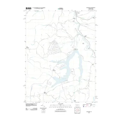
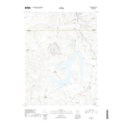
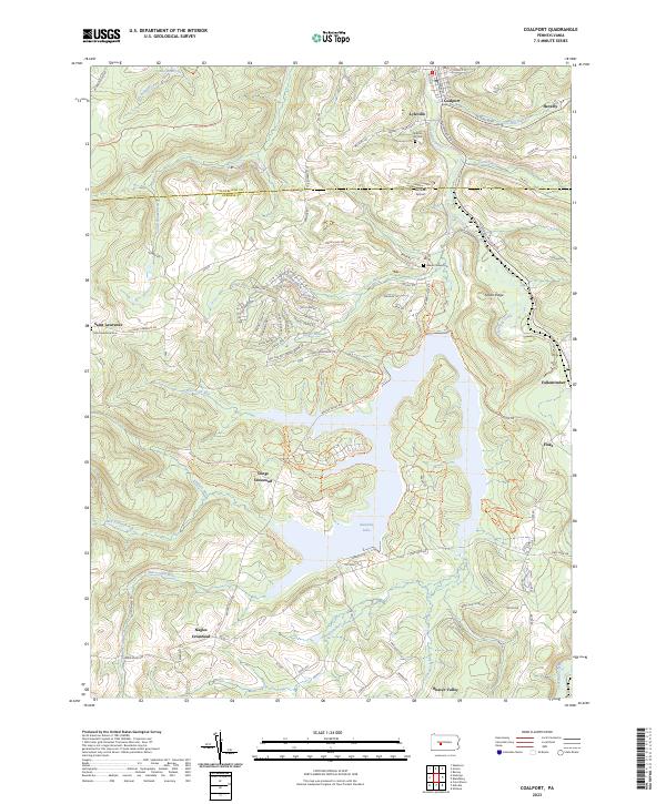 2023 Coalport2023 Print · USGSThe borderlands of Clearfield and Cambria Counties come into focus in this contemporary survey of the Pennsylvania highlands. Researchers can trace rural lineages through local landmarks like Lyleville, Saint Lawrence Cem, and the waters of Glendale Lake.
End of results
Showing maps 1-10 of 10
Top cities near Chest Township
- Altoona historical maps
- Northern Cambria historical maps
- Ebensburg historical maps
- Nanty Glo historical maps
- Patton historical maps
- Beccaria Township historical maps
See more
Top neighborhoods of Chest Township
Frequently asked questions
- What are the different types of historical maps available for Chest Township?
- What is the oldest map of Chest Township?
- Where can I purchase historical maps of Chest Township for my home or office?
- Where can I download high-res historical maps of Chest Township?
- Are there historical topographic maps available for Chest Township?
- Is there historical aerial imagery available for Chest Township?
- Where are historical maps of Chest Township sourced from?