Old Maps of Clearfield Township, Pennsylvania for Academic Research
Study the evolution of Clearfield Township with 42 high-resolution historic maps. Whether you're teaching, researching, or modeling changes in land use, these maps provide essential visual documentation of urban, environmental, and geographic change.
- Analyze long-term change: Track patterns in development, transportation, and natural features.
- Ideal for environmental or urban studies: Support academic projects with primary historical map data.
- Use in the classroom or lab: Educators and researchers rely on these maps to bring historical context to life.
These maps are a powerful tool for teaching, research, and visualizing how Clearfield Township has changed over the decades.
Clearfield Township, PA maps
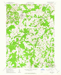
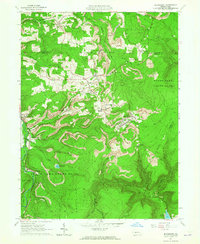
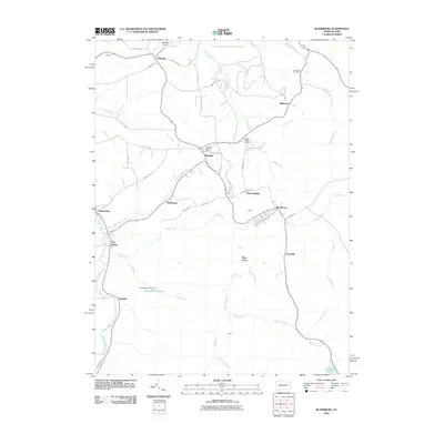
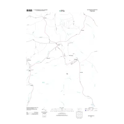
(42)- 1902 Map of Patton, 1955 Print
 1902 Patton1955 Print · USGSThe northern Cambria County coal and timber country is captured here at the turn of the century, as mountain railroads reached their peak influence. Researchers can trace historic industrial sites like Eckenrode Mill and early settlements including St Bonifacius and Patton.
 - 1904 Map of Patton
 1904 Patton1904 Print · USGSCambria County at the start of the century is a network of rail lines and coal settlements, anchored by the growth of Patton. Genealogists can trace family roots through historic sites like St Bonifacius, Chest Springs, and the industrial Mitchell Mines.5 unique versions available
 - 1920 Map of Altoona, 1954 Print
 1920 Altoona1954 Print · USGSThe industrial and rail-heavy corridor of the 1920s is on full display as the Pennsylvania RR cuts through the mountains. Genealogists and local historians can trace family roots through numerous country schools like Beech Grove School and lost settlements such as Wopsononock or Fostoria.6 unique versions available
 - 1922 Map of Altoona
 1922 Altoona1922 Print · USGSThe industrial hub of Altoona and the steep slopes of the Allegheny Front are captured here in the early 1920s. Researchers can trace the extensive rail operations of the Pennsylvania railroad and locate numerous vanished rural landmarks like the Richland School and Grandview Cemetery.8 unique versions available
 - 1943 Map of Punxsutawney
 1943 Punxsutawney1943 Print · USGSThe Pennsylvania coal country around the turn of the century and through the war years is captured in this detailed survey of Jefferson, Indiana, and Clearfield counties. Researchers can trace the rail-reliant economy through Findley Mills, Rossiter Junction, and landmarks like the St Lawrence Fire Tower.
 - 1953 Map of Pittsburgh
 1953 Pittsburgh1953 Print · USGSWestern Pennsylvania's industrial landscape at the start of the fifties shows the steel and rail corridors between Pittsburgh and Altoona. Trace family roots in river towns like Tarentum or follow the Pennsylvania Turnpike across Laurel Hill.
 - 1954 Map of Pittsburgh
 1954 Pittsburgh1954 Print · USGSWestern Pennsylvania in the early fifties remains a powerhouse of heavy industry and vital transit corridors. Genealogists and historians can trace the rail-and-river network connecting Pittsburgh, Johnstown, and Altoona via the Pennsylvania RR and the Lincoln Highway.2 unique versions available
 - 1958 Map of Pittsburgh
 1958 Pittsburgh1958 Print · USGSWestern Pennsylvania in the late fifties shows an industrial heartland defined by the confluence of the Allegheny River and Monongahela River. Researchers can trace the sprawling rail networks of the Pennsylvania RR and find established towns like Butler, Latrobe, and Windber.5 unique versions available
 - 1959 Map of Pittsburgh
 1959 Pittsburgh1959 Print · USGSWestern Pennsylvania in the late fifties is captured here at the height of its industrial era. Genealogists and historians can trace the riverfront growth of Pittsburgh, the rail works at Altoona, and the mountain gaps of Laurel Hill.
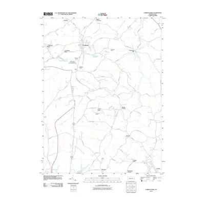
 - 1961 Map of Carrolltown, 1963 Print
 1961 Carrolltown1963 Print · USGSCambria County in the early sixties reveals a landscape of devout Catholic institutions and coal industry. Genealogists can trace family roots through Carrolltown and Loretto, locating landmarks like St Francis College and Eckenrode Mill.2 unique versions available
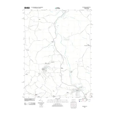
 - 1961 Map of Hastings, 1963 Print
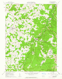
 1961 Hastings1963 Print · USGSCambria County during the early 1960s shows a landscape shaped by coal mining and a dense network of small communities. Researchers can trace the industrial heritage of Hastings and Patton, locate family plots at St Bernard Cem, or find the St Lawrence Lookout Tower.5 unique versions available
 - 1961 Map of Coalport, 1963 Print
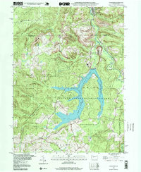
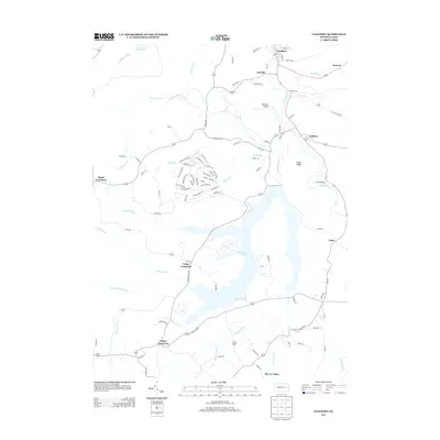
 1961 Coalport1963 Print · USGSThe northern edge of the Allegheny Plateau comes into focus in the early sixties as industrial coal operations sit alongside a newly formed Glendale Lake. Trace the local rail-and-river economy through Coalport, Flinton, and numerous Strip Mines.7 unique versions available
 - 1961 Map of Ashville, 1963 Print
 1961 Ashville1963 Print · USGSThe Allegheny Front in the early sixties was a landscape defined by the Pennsylvania Railroad and the coal mining industry. Genealogists and local historians can trace family roots through the clusters of churches and cemeteries at Ashville, Spindley City, and Coupon.3 unique versions available
 - 1963 Map of Blandburg, 1965 Print
 1963 Blandburg1965 Print · USGSThe coal and rail landscape of the Allegheny Front comes to life in the early 1960s, showing the intersection of industry and rural life. Trace family roots at Roseland Ch and Cambria Mills Cem, or locate mining heritage through the Tipple and Strip Mines near Blandburg.4 unique versions available
 - 1964 Map of Pittsburgh
 1964 Pittsburgh1964 Print · USGSWestern Pennsylvania in the late fifties and early sixties shows a landscape of powerful river industries and expanding highways. Genealogists and historians can trace the rail corridors of the Pennsylvania RR through industrial hubs like Johnstown, Altoona, and Nanty Glo.
 - 1984 Map of Tyrone, 1985 Print
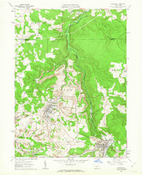
 1984 Tyrone1985 Print · USGSCentral Pennsylvania in the mid-eighties shows a rugged landscape defined by the industry of Altoona and the ridges of the Appalachians. Genealogists and historians can trace the rail corridors of CONRAIL and locate vanished family homes near Glendale Lake or within Sinking Valley.
 - 1998 Map of Coalport, 1999 Print
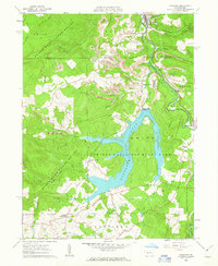
 1998 Coalport1999 Print · USGSThe Clearfield and Cambria county borderlands are shown here in the late nineties, centered on the waters of Glendale Lake. Researchers can trace the legacy of local industry and transport through the Blain Run Railroad, an old railroad grade, and Coalport.
 - 2010 Map of Ashville, 2010 Print
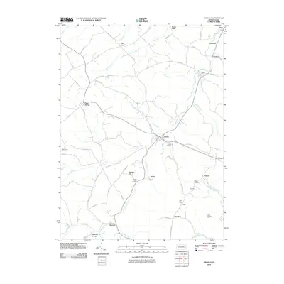 2010 Ashville2010 Print · USGSCovers Clearfield Township, including Dean Township, Ashville, and other nearby areas
 - 2010 Map of Coalport, 2010 Print
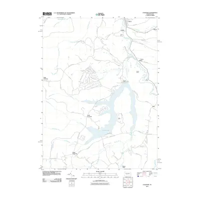 2010 Coalport2010 Print · USGSCovers Clearfield Township, including Beccaria Township, Coalport, and other nearby areas
 - 2010 Map of Blandburg, 2010 Print
 2010 Blandburg2010 Print · USGSCovers Clearfield Township, including Beccaria Township, Dean Township, and other nearby areas
 - 2010 Map of Carrolltown, 2010 Print
 2010 Carrolltown2010 Print · USGSCovers Clearfield Township, including Ebensburg, Loretto, and other nearby areas
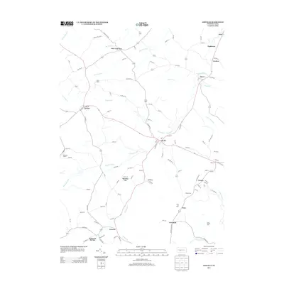
 - 2010 Map of Hastings, 2010 Print
 2010 Hastings2010 Print · USGSCovers Clearfield Township, including Patton, Hastings, and other nearby areas
 - 2013 Map of Ashville, 2013 Print
 2013 Ashville2013 Print · USGSCovers Clearfield Township, including Dean Township, Ashville, and other nearby areas
 - 2013 Map of Blandburg, 2013 Print
 2013 Blandburg2013 Print · USGSCovers Clearfield Township, including Beccaria Township, Dean Township, and other nearby areas
 - 2013 Map of Coalport, 2013 Print
 2013 Coalport2013 Print · USGSCovers Clearfield Township, including Beccaria Township, Coalport, and other nearby areas
Showing maps 1-25 of 42
Top cities near Clearfield Township
- Altoona historical maps
- Frankstown Township historical maps
- Hollidaysburg historical maps
- Northern Cambria historical maps
- Ebensburg historical maps
- Portage historical maps
See more
Top neighborhoods of Clearfield Township
Frequently asked questions
- What are the different types of historical maps available for Clearfield Township?
- What is the oldest map of Clearfield Township?
- Where can I purchase historical maps of Clearfield Township for my home or office?
- Where can I download high-res historical maps of Clearfield Township?
- Are there historical topographic maps available for Clearfield Township?
- Is there historical aerial imagery available for Clearfield Township?
- Where are historical maps of Clearfield Township sourced from?