Old Maps of Packer Township, Pennsylvania for Metal Detecting
Plan your next treasure hunt with 48 historic maps of Packer Township. Find old homesites, ghost towns, trails, and gathering spots that may be lost to time — perfect for identifying promising metal detecting locations.
- Locate forgotten sites: Uncover places like long-lost settlements, abandoned rail lines, or gathering spots.
- Plan better hunts: Use map overlays combined with LiDAR or satellite views to narrow in on historically rich areas.
- Made for detectorists: Thousands of hobbyists use these maps to discover relics, coins, and hidden history.
Use these historic maps to boost your research and find new opportunities beneath the surface of Packer Township.
Packer Township, PA maps
(48)- 1889 Map of Hazleton, 1956 Print
 1889 Hazleton1956 Print · USGSThe Pennsylvania coal fields are seen at their industrial height in the late 1880s, revealing a landscape defined by anthracite and iron rails. Genealogists and historians can trace the early footprints of Hazleton, the company town of Eckley, and the rail-heavy corridors of Lansford and Tamaqua.
 - 1891 Map of Hazleton
 1891 Hazleton1891 Print · USGSThe anthracite coal region comes alive in the late nineteenth century, showing a landscape defined by ridges and rail lines. Genealogists and historians can trace the early footprints of Hazleton, the gravity-rail heritage at Summit Hill, and the bustling yards of Lansford or Tamaqua.
 - 1893 Map of Hazleton
 1893 Hazleton1893 Print · USGSThe anthracite coal region of Northeastern Pennsylvania is captured here in the late nineteenth century, during its industrial peak. Genealogists and historians can trace the early rail networks and company patches like Lansford, Summit Hill, and the coal-rich village of Eckley.8 unique versions available
 - 1944 Map of Newark, 1971 Print
 1944 Newark1971 Print · USGSThe industrial corridor from Philadelphia to New York was in a period of massive transition during the mid-forties. Genealogists and researchers can trace the rail lines of the Lehigh Valley RR, locate military installations like Picatinny Arsenal, and explore the early sprawl near Levittown.5 unique versions available
 - 1947 Map of Hazleton, 1962 Print
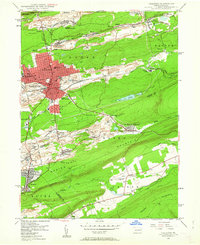 1947 Hazleton1962 Print · USGSThe Pennsylvania coal fields and the industrial hubs of Luzerne County are captured here just after the war. Researchers can trace the rail-and-mine landscape of Ashmore Yards, Lattimer Mines, and the borough of McAdoo.5 unique versions available
 - 1947 Map of Tamaqua, 1964 Print
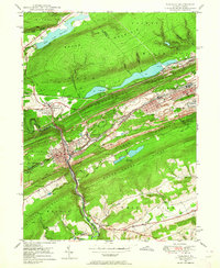 1947 Tamaqua1964 Print · USGSThe Panther Valley coal region is captured here at a mid-century peak of industrial activity. Researchers can trace the extensive rail networks at Arlington Yards or locate local landmarks like Odd Fellows Cem and Owl Creek Sch.5 unique versions available
 - 1948 Map of Nesquehoning, 1958 Print
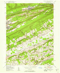 1948 Nesquehoning1958 Print · USGSMid-century Carbon County reveals a landscape shaped by anthracite mining and valley farming just after the war. Local historians can trace the rail networks at Nesquehoning Junction or locate vanished rural landmarks like Hoppers Mill and East Penn Airport.7 unique versions available
 - 1948 Map of Weatherly, 1965 Print
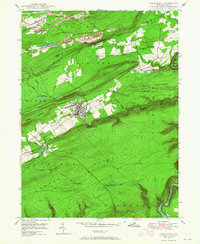 1948 Weatherly1965 Print · USGSDeep in the anthracite region after the war, this map shows the mining and rail networks of Carbon and Luzerne counties. Trace the coal heritage of Eckley and Weatherly, or locate local landmarks like St Joseph Ch and Larrytown Sch.6 unique versions available
 - 1949 Map of Newark
 1949 Newark1949 Print · USGSThe industrial corridor between Philadelphia and New York comes alive in this post-war survey. Genealogists and historians can trace the massive rail networks of the Reading Railroad and locate major installations like Fort Dix or Picatinny Arsenal.2 unique versions available
 - 1950 Map of Tamaqua
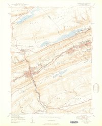 1950 Tamaqua1950 Print · USGSThe anthracite coal region of Schuylkill and Carbon counties comes into sharp focus during the mid-century peak of industrial activity. Trace the dense rail networks of the Reading Co through Tamaqua and locate ancestral landmarks like the Odd Fellows Cem or Owl Creek Sch.2 unique versions available
 - 1950 Map of Hazleton
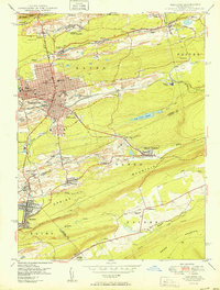 1950 Hazleton1950 Print · USGSThe anthracite coal region of Pennsylvania comes into sharp focus during the post-war era. Researchers can trace the extensive rail networks of the Lehigh Valley and identify localized mining communities like Lattimer Mines (PO) and Coxes Village.2 unique versions available
 - 1950 Map of Nesquehoning
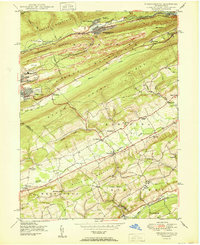 1950 Nesquehoning1950 Print · USGSCarbon County's anthracite landscape is captured here in the mid-twentieth century as rail and mining towns still hummed with activity. Genealogists can locate family landmarks from Bloomingdale to Mertz Town, including the Our Lady of Mt Carmel Cem and East Penn Airport.2 unique versions available
 - 1950 Map of Weatherly
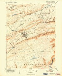 1950 Weatherly1950 Print · USGSWeatherly and the surrounding anthracite coal fields are documented here in the late 1940s as industry and local life intertwined. Genealogists and historians can trace family locations near St Joseph Ch, the Larrytown Sch, and the old company town at Eckley.2 unique versions available
 - 1956 Map of Newark
 1956 Newark1956 Print · USGSThe industrial heart of the Mid-Atlantic is captured here at the dawn of the highway era, tracing the dense corridors between Newark and Philadelphia. Genealogists and local historians can map the rail networks of the Reading RR or locate mid-century military life at Fort Dix Military Reservation.2 unique versions available
 - 1957 Map of Newark
 1957 Newark1957 Print · USGSThe industrial and military heart of the Mid-Atlantic is mapped during its post-war suburban boom. Genealogists and historians can trace the intricate rail corridors of the Reading Railroad and locate key landmarks from Princeton University to Fort Hancock.
 - 1960 Map of Newark
 1960 Newark1960 Print · USGSThe industrial heart of the Mid-Atlantic is shown at mid-century, stretching from the dense urban centers of Newark and Philadelphia to the Blue Mountain ridges. Researchers can trace historic rail lines, coastal defenses at Fort Hancock, and the riverfront growth of Trenton and Easton.3 unique versions available
 - 1964 Map of Newark
 1964 Newark1964 Print · USGSGreater New Jersey and eastern Pennsylvania appear at the peak of their industrial and rail-centered development in the mid-sixties. Genealogists and historians can trace the paths of the Pennsylvania RR, identify mid-century landmarks like CAMP KILMER, or follow the Schuylkill River through READING.2 unique versions available
 - 1976 Map of Tamaqua, 1979 Print
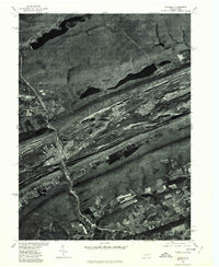 1976 Tamaqua1979 Print · USGSThe anthracite coal region of Schuylkill and Carbon Counties comes into focus during the 1970s. Researchers can trace the industrial footprint between Tamaqua and Summit Hill, and locate features like the Still Creek Reservoir.
 - 1976 Map of Weatherly, 1979 Print
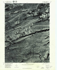 1976 Weatherly1979 Print · USGSCarbon County in the mid-seventies reveals a landscape shaped by coal and steep ridges. Trace the residential layouts of Weatherly and Eckley alongside the wilder stretches of the Lehigh River and Penn Haven Mountain.
 - 1976 Map of Nesquehoning, 1979 Print
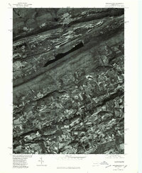 1976 Nesquehoning1979 Print · USGSCarbon County in the mid-seventies shows a landscape of sharp industrial and agricultural transitions. Genealogists can trace the residential footprints of Jim Thorpe and Lansford or locate rural homesteads near Normal Square.
 - 1976 Map of Hazleton, 1979 Print
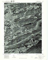 1976 Hazleton1979 Print · USGSIn the Pennsylvania anthracite region during the 1970s, this aerial study shows the urban density of Hazleton against the industrial landscape. Researchers can trace the layout of Mc Adoo and Beaver Meadows at the edge of Spring Mountain.
 - 1984 Map of Allentown, 1985 Print
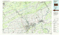 1984 Allentown1985 Print · USGSThe Lehigh Valley and southern Poconos are captured in the mid-eighties as industry and academic life converge along the river corridor. Trace the rail-and-water networks connecting Jim Thorpe and Bethlehem, or explore landmarks like Lehigh University and the Delaware Water Gap.3 unique versions available
 - 1995 Map of Hazleton, 1996 Print
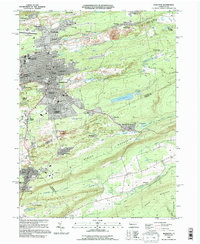 1995 Hazleton1996 Print · USGSHazleton and its surrounding mining patches are shown in the mid-nineties as the region balanced its industrial legacy with modern growth. Genealogists can trace family neighborhoods like Hazleton Heights and locate local landmarks such as Mt Laurel Cem and the Heights Terrace Sch.
 - 1995 Map of Tamaqua, 1996 Print
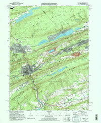 1995 Tamaqua1996 Print · USGSThe Anthracite coal region's industrial and residential landscape comes into focus during the mid-1990s. Researchers can trace local genealogy and rail history through Arlington Yards, Skyview Memorial Park, and the borough of Tamaqua.
 - 1997 Map of Nesquehoning, 1999 Print
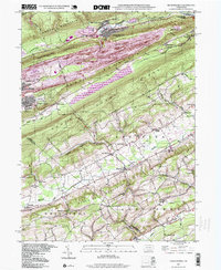 1997 Nesquehoning1999 Print · USGSThe anthracite coal region and the Mahoning Valley meet in this late-century study of Carbon and Schuylkill Counties. Genealogists can trace family roots through Our Lady of Mt Carmel Cem or search for old school sites like Sanden Sch and Ginders Sch.
Showing maps 1-25 of 48
Top cities near Packer Township
- Hazleton historical maps
- Tamaqua historical maps
- Lehighton historical maps
- Jim Thorpe historical maps
- West Penn Township historical maps
- Lansford historical maps
See more
Top neighborhoods of Packer Township
Frequently asked questions
- What are the different types of historical maps available for Packer Township?
- What is the oldest map of Packer Township?
- Where can I purchase historical maps of Packer Township for my home or office?
- Where can I download high-res historical maps of Packer Township?
- Are there historical topographic maps available for Packer Township?
- Is there historical aerial imagery available for Packer Township?
- Where are historical maps of Packer Township sourced from?