Old Maps of Pleasant Gap, Pennsylvania for Academic Research
Study the evolution of Pleasant Gap with 41 high-resolution historic maps. Whether you're teaching, researching, or modeling changes in land use, these maps provide essential visual documentation of urban, environmental, and geographic change.
- Analyze long-term change: Track patterns in development, transportation, and natural features.
- Ideal for environmental or urban studies: Support academic projects with primary historical map data.
- Use in the classroom or lab: Educators and researchers rely on these maps to bring historical context to life.
These maps are a powerful tool for teaching, research, and visualizing how Pleasant Gap has changed over the decades.
Pleasant Gap, PA maps
(41)- 1908 Map of Bellefonte, 1956 Print
 1908 Bellefonte1956 Print · USGSCentre County at the opening of the twentieth century is a landscape of thriving rail hubs and early academic growth. Genealogists and local historians can trace the foundations of Pennsylvania State College and locate vanished rural landmarks like the Silverdale School or Scotia Benore PO.3 unique versions available
 - 1909 Map of Bellefonte
 1909 Bellefonte1909 Print · USGSCentre County at the turn of the century shows a burgeoning academic and industrial landscape centered on the early campus of Pennsylvania State College. Genealogists can trace family names through rural landmarks like Scotia Benore PO, Fairview Church, and the Silverdale School.7 unique versions available
 - 1924 Map of Centre Hall, 1958 Print
 1924 Centre Hall1958 Print · USGSCentral Pennsylvania's ridge-and-valley landscape is captured here in the 1920s, showing a world of limestone springs and mountain gaps. Genealogists can locate family homesteads near Old Fort, Tusseyville, and dozens of rural schoolhouses like Gentzel School.2 unique versions available
 - 1929 Map of Centre Hall
 1929 Centre Hall1929 Print · USGSCentral Pennsylvania's ridge-and-valley country is shown here in the late 1920s as a landscape of rural schools and water mills. Genealogists can trace family footprints at Old Fort, Penn Cave, and dozens of school sites like Gentzel School.4 unique versions available
 - 1943 Map of Lewistown
 1943 Lewistown1943 Print · USGSCentral Pennsylvania's rugged ridge-and-valley landscape is documented here during the mid-forties, showing the deep integration of rail lines and mountain gaps. Genealogists can trace family footprints through numerous rural landmarks like Emma Chapel, Mattern Junction, and the McNitt School.
 - 1950 Map of Harrisburg, 1952 Print
 1950 Harrisburg1952 Print · USGSMid-century Central Pennsylvania comes alive through its dense rail networks and river valley settlements during the post-war industrial era. Genealogists and historians can trace family roots through hubs like Harrisburg, locate Carlisle Barracks, or follow the Pennsylvania RR through the Lebanon Valley.
 - 1957 Map of Harrisburg
 1957 Harrisburg1957 Print · USGSMid-century Central Pennsylvania comes into focus as a bustling network of rail, river, and mountain ridges. Genealogists and historians can trace the development of the State Capitol and surrounding hubs like Middletown, Columbia, and Pottsville.7 unique versions available
 - 1961 Map of Harrisburg
 1961 Harrisburg1961 Print · USGSCentral Pennsylvania is shown at a mid-century peak of industrial and military activity, from the Susquehanna water gaps to the fertile Dutch Country. Genealogists and historians can trace the rail corridors of the Pennsylvania RR and find landmarks like Carlisle Barracks or the Anthracite Coal Fields.2 unique versions available
 - 1962 Map of State College, 1964 Print
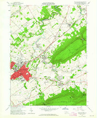 1962 State College1964 Print · USGSState College and the Penn State campus are shown in the early sixties during a period of significant collegiate and local growth. Researchers can trace historic campus buildings like Old Main or locate outlying villages such as Boalsburg and Linden Hall.5 unique versions available
 - 1962 Map of Bellefonte, 1964 Print
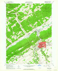 1962 Bellefonte1964 Print · USGSMid-century Centre County reveals a valley shaped by industry and civic institutions, from the bustling streets of Bellefonte to the ridges of Bald Eagle Mountain. Researchers can trace old family names at Fetzertown, locate the Trcziyulny Cem, or follow the Old Railroad Grade near Gum Stump.2 unique versions available
 - 1964 Map of Harrisburg
 1964 Harrisburg1964 Print · USGSCentral Pennsylvania in the mid-fifties reveals a landscape shaped by ridge-and-valley geology and critical Cold War infrastructure. Researchers can trace the massive Indiantown Gap Military Reservation or the rail corridors of the Pennsylvania RR and Reading RR.
 - 1966 Map of Centre Hall, 1968 Print
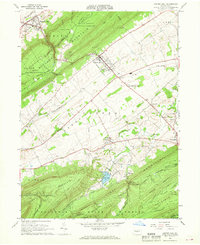 1966 Centre Hall1968 Print · USGSPenn Valley and the surrounding ridges of central Pennsylvania are captured here in the mid-1960s, a period of established university research and state forest conservation. Researchers can trace the railroad corridor of the Penn Central or locate family sites near Tusseyville, Potters Mills, and the Egg Hill Cem.3 unique versions available
 - 1966 Map of Mingoville, 1968 Print
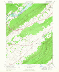 1966 Mingoville1968 Print · USGSNittany Valley and its surrounding ridges appear in the mid-sixties just as the Howard Reservoir was being established. Genealogists and historians can trace family locations near Zion and Jacksonville or locate the Furnace Ruins and Eagle Cem.4 unique versions available
 - 1977 Map of Mingoville, 1979 Print
 1977 Mingoville1979 Print · USGSCentre County farmland and the village of Mingoville are shown in high-resolution aerial detail during the late seventies. Researchers can trace the rural landscape between Nittany Mountain and the course of Bald Eagle Creek.
 - 1977 Map of Bellefonte, 1979 Print
 1977 Bellefonte1979 Print · USGSCentral Pennsylvania's valley terrain is captured in the late seventies just as modern development began to accelerate. Genealogists can trace the residential layouts of Runville and Coleville along the base of Bald Eagle Mountain.
 - 1977 Map of Centre Hall, 1979 Print
 1977 Centre Hall1979 Print · USGSThe strip-cropped fields of the Penn Valley dominate the landscape in the late seventies, bordered by the steep ridges of Mount Nittany. Genealogists and local historians can trace the rural layouts of Centre Hall, Potters Mills, and the banks of Sinking Creek.
 - 1977 Map of State College, 1979 Print
 1977 State College1979 Print · USGSState College and the Nittany Valley are captured in this late-seventies aerial survey during a period of steady expansion. Genealogists and local historians can trace the development of Lemont, Houserville, and the residential blocks surrounding State College.
 - 1984 Map of State College, 1985 Print
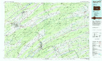 1984 State College1985 Print · USGSCentral Pennsylvania’s Ridge-and-Valley province is captured here in the mid-eighties, showing the deep connection between the mountain terrain and the region's historic settlements. Researchers can trace the layout of Pennsylvania State University and follow old rail corridors like the Bellefonte Historical RR and Conrail.
 - 1988 Map of State College, 1989 Print
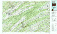 1988 State College1989 Print · USGSCentral Pennsylvania in the late eighties shows the sprawling influence of Pennsylvania State University against a backdrop of ancient ridges. Genealogists can trace family landmarks like Church Hill Church and the Bellefonte Cemetery across the deep valleys.
 - 1998 Map of Bellefonte, 1999 Print
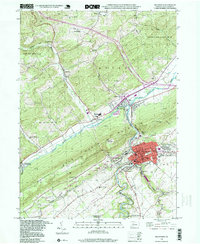 1998 Bellefonte1999 Print · USGSBellefonte and the Nittany Valley come into sharp focus in the late nineties, documenting the area's industrial footprint and mountain terrain. Trace local history through family-named sites like Trcziyulny Cem, the rural Advent Ch, and the grounds of Fishermans Paradise.
 - 1998 Map of Centre Hall, 1999 Print
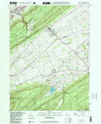 1998 Centre Hall1999 Print · USGSPenns Valley in the late twentieth century maintains its rural character between the dramatic ridges of Bald Eagle and Tussey Mountain. Trace family roots and local history at Egg Hill Cem, Emanuels Ch, and the crossroads at Potters Mills.
 - 2010 Map of State College, 2010 Print
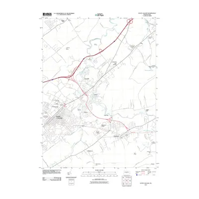 2010 State College2010 Print · USGSThe Nittany Valley during a period of significant collegiate and suburban growth shows the institutional footprint of Pennsylvania State University. Researchers can trace local heritage through Slab Cabin Cemetery, the historic Boalsburg area, and the Little Flat Fire Tower.
 - 2010 Map of Bellefonte, 2010 Print
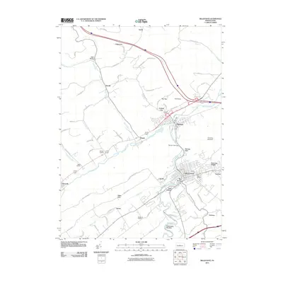 2010 Bellefonte2010 Print · USGSThe borough of Bellefonte and its neighboring valleys are seen here in the early 21st century. Researchers can trace family history through several named burial grounds like Union Cemetery or explore established communities such as Milesburg and Coleville.
 - 2010 Map of Centre Hall, 2010 Print
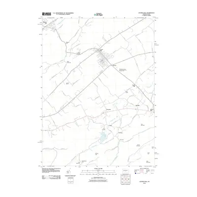 2010 Centre Hall2010 Print · USGSCentre County's ridge-and-valley country is captured here in the early twenty-first century, showing the enduring agricultural character of the region. Genealogists and local historians can trace the footprints of old hamlets like Tusseyville, Red Mill, and the landmarks around Penn Cave.
 - 2010 Map of Mingoville, 2010 Print
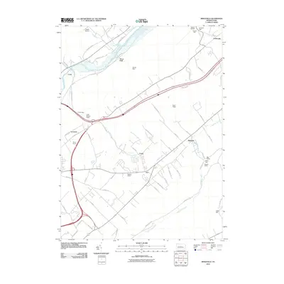 2010 Mingoville2010 Print · USGSThe rural valleys of Centre County are captured here in the early twenty-first century as modern transit corridors intersect older settlement patterns. Genealogists and local researchers can locate family land near Zion, Mingoville, and the historic area around Curtin.
Showing maps 1-25 of 41
Top cities near Pleasant Gap
- State College historical maps
- Bellefonte historical maps
- Boalsburg historical maps
- Lamar historical maps
- Burnham historical maps
- Houserville historical maps
See more
Frequently asked questions
- What are the different types of historical maps available for Pleasant Gap?
- What is the oldest map of Pleasant Gap?
- Where can I purchase historical maps of Pleasant Gap for my home or office?
- Where can I download high-res historical maps of Pleasant Gap?
- Are there historical topographic maps available for Pleasant Gap?
- Is there historical aerial imagery available for Pleasant Gap?
- Where are historical maps of Pleasant Gap sourced from?