2000s (21st Century) Maps of East Coventry Township, Pennsylvania
Explore 10 historic maps of East Coventry Township from the 2000s (21st Century). These maps offer a rare glimpse into what life looked like during the 2000s — showing old roads, neighborhoods, homes, and landmarks that have changed or disappeared over time.
Whether you're researching your family's past, planning a metal detecting trip, or studying how East Coventry Township's landscape evolved across the 2000s, these high-resolution maps are a powerful tool for exploring the history of this region.
- Focus on a specific era: All maps on this page are from the 2000s, giving you a focused view of this time period.
- See what’s changed: Compare century-old streets, trails, and buildings to today's modern landscape using overlays and satellite layers.
- Research with precision: Use these maps for genealogy, historical research, land use analysis, or educational projects.
- View, download, or print: Maps are fully viewable online in high resolution, and can be downloaded or printed for your own records.
Start exploring East Coventry Township's history through authentic maps from the 2000s. This is your window into the past.
East Coventry Township, PA maps
(10)- 2010 Map of Phoenixville, 2010 Print
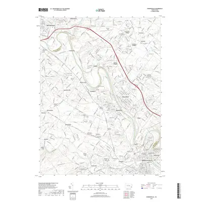
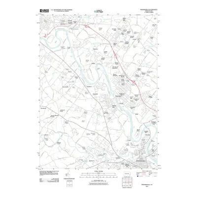 2010 Phoenixville2010 Print · USGSCovers East Coventry Township, including Pottstown, Limerick Township, and other nearby areas
 - 2010 Map of Pottstown, 2010 Print
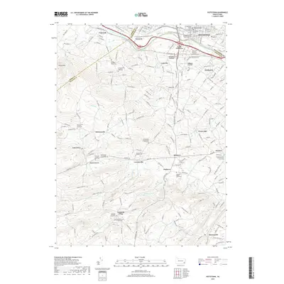
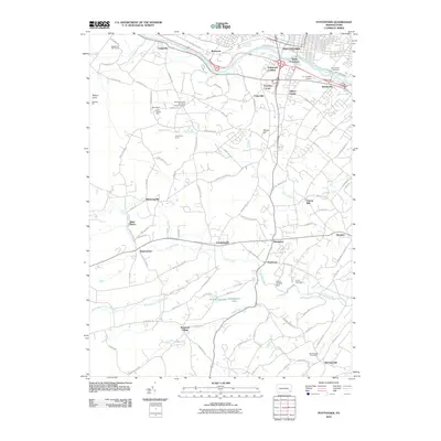 2010 Pottstown2010 Print · USGSCovers East Coventry Township, including Pottstown, West Pottsgrove, and other nearby areas
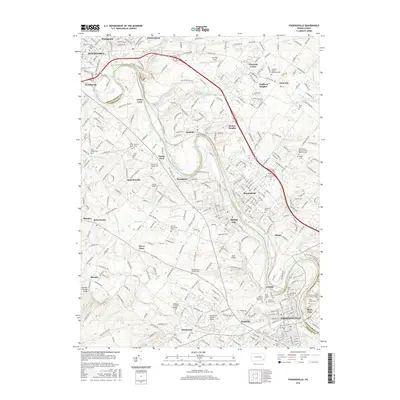
 - 2013 Map of Phoenixville, 2013 Print
 2013 Phoenixville2013 Print · USGSCovers East Coventry Township, including Pottstown, Limerick Township, and other nearby areas
 - 2013 Map of Pottstown, 2013 Print
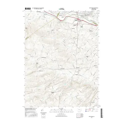
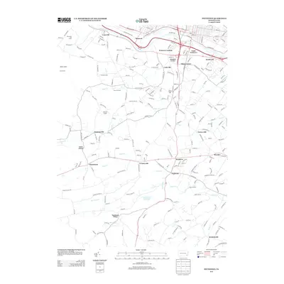 2013 Pottstown2013 Print · USGSCovers East Coventry Township, including Pottstown, West Pottsgrove, and other nearby areas
 - 2016 Map of Phoenixville, 2016 Print
 2016 Phoenixville2016 Print · USGSCovers East Coventry Township, including Pottstown, Limerick Township, and other nearby areas
 - 2016 Map of Pottstown, 2016 Print
 2016 Pottstown2016 Print · USGSCovers East Coventry Township, including Pottstown, West Pottsgrove, and other nearby areas
 - 2019 Map of Phoenixville, 2019 Print
 2019 Phoenixville2019 Print · USGSCovers East Coventry Township, including Pottstown, Limerick Township, and other nearby areas
 - 2019 Map of Pottstown, 2019 Print
 2019 Pottstown2019 Print · USGSCovers East Coventry Township, including Pottstown, West Pottsgrove, and other nearby areas
 - 2023 Map of Pottstown, 2023 Print
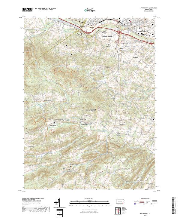 2023 Pottstown2023 Print · USGSThe Schuylkill River valley and the hills of northern Chester County are shown here in modern detail. Genealogists and historians can locate dozens of historic sites, from Nantmeal Village and Coventryville to the African Union Church Cem and Porters Mill.
 - 2023 Map of Phoenixville, 2023 Print
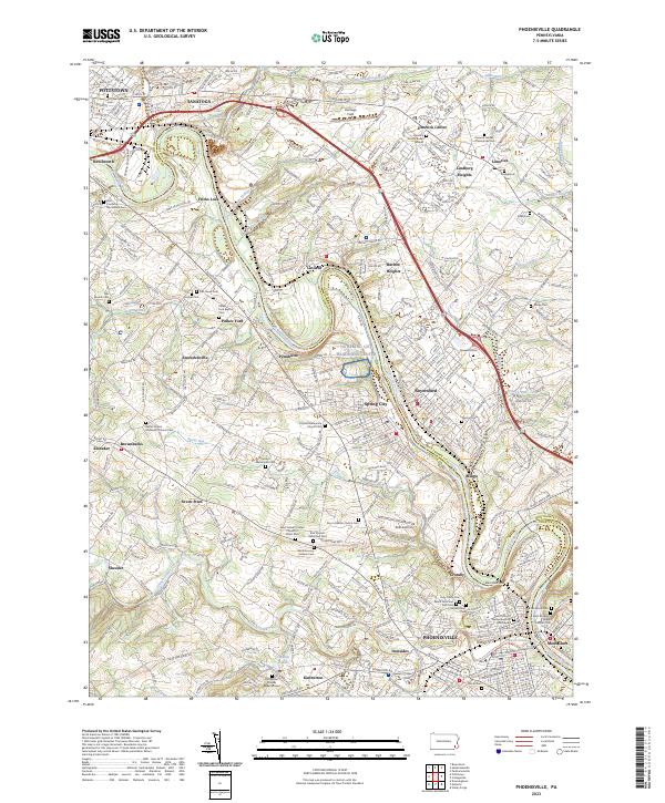 2023 Phoenixville2023 Print · USGSThe Schuylkill River valley comes to life in this contemporary survey of the Pennsylvania heartland near Phoenixville and Pottstown. Genealogists and historians can trace numerous ancestral sites including the Revolutionary Soldiers Cem, Pennhurst, and the Kimberton Friends Burial Ground.
End of results
Showing maps 1-10 of 10
Top cities near East Coventry Township
- Radnor Township historical maps
- Marple Township historical maps
- Pottstown historical maps
- West Goshen Township historical maps
- King of Prussia historical maps
- Limerick Township historical maps
See more
Top neighborhoods of East Coventry Township
- Snowdenville historical maps
- Parker Ford historical maps
- Fricks Lock historical maps
- Brownbacks historical maps
Frequently asked questions
- What are the different types of historical maps available for East Coventry Township?
- What is the oldest map of East Coventry Township?
- Where can I purchase historical maps of East Coventry Township for my home or office?
- Where can I download high-res historical maps of East Coventry Township?
- Are there historical topographic maps available for East Coventry Township?
- Is there historical aerial imagery available for East Coventry Township?
- Where are historical maps of East Coventry Township sourced from?