2000s (21st Century) Maps of Easttown Township, Pennsylvania
Explore 10 historic maps of Easttown Township from the 2000s (21st Century). These maps offer a rare glimpse into what life looked like during the 2000s — showing old roads, neighborhoods, homes, and landmarks that have changed or disappeared over time.
Whether you're researching your family's past, planning a metal detecting trip, or studying how Easttown Township's landscape evolved across the 2000s, these high-resolution maps are a powerful tool for exploring the history of this region.
- Focus on a specific era: All maps on this page are from the 2000s, giving you a focused view of this time period.
- See what’s changed: Compare century-old streets, trails, and buildings to today's modern landscape using overlays and satellite layers.
- Research with precision: Use these maps for genealogy, historical research, land use analysis, or educational projects.
- View, download, or print: Maps are fully viewable online in high resolution, and can be downloaded or printed for your own records.
Start exploring Easttown Township's history through authentic maps from the 2000s. This is your window into the past.
Easttown Township, PA maps
(10)- 2010 Map of Media, 2010 Print
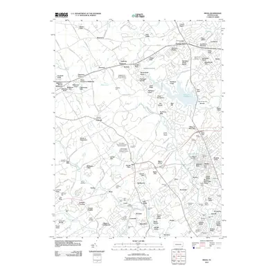 2010 Media2010 Print · USGSDelaware County at the start of the 2010s shows a landscape where suburban growth meets deep industrial and institutional roots. Genealogists and local historians can trace legacy sites like Todmorden Mills, Cumberland Cemetery, and the Lenni Dam.
- 2010 Map of Valley Forge, 2010 Print
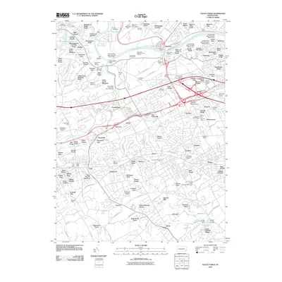 2010 Valley Forge2010 Print · USGSRadnor Township and the surrounding Valley Forge area appear at a moment of modern transition in these 2010 records. Genealogists and historians can trace significant landmarks like the Great Valley Presbyterian Cemetery, Great Valley Mills, and the Knox-Valley Forge Dam Covered Bridge.
- 2013 Map of Media, 2013 Print
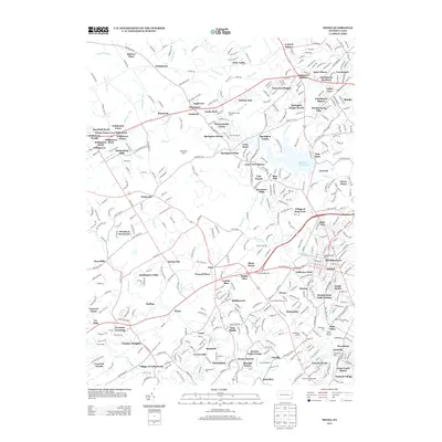 2013 Media2013 Print · USGSDelaware County enters a new century of development as seen in this detailed map of the Newtown Square and Media areas. Researchers can trace local landmarks like Media Borough Hall, the Linvill Airport, and historical sites such as Sycamore Mills.
- 2013 Map of Valley Forge, 2013 Print
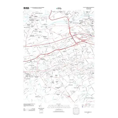 2013 Valley Forge2013 Print · USGSRadnor Township and Valley Forge are shown here in the early 21st century as a dense network of suburban neighborhoods and commemorative parklands. Trace local landmarks like the Knox-Valley Forge Dam Covered Bridge, Bull Tavern, and the prominent Memorial Arch.
- 2016 Map of Media, 2016 Print
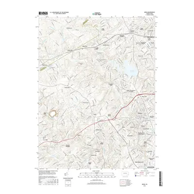 2016 Media2016 Print · USGSDelaware County suburban growth and institutional development are on full display in this mid-2010s survey. Researchers can trace local heritage through landmarks like Moylan-Rose Valley Station, Cumberland Cem, and the historic Sycamore Mills.
- 2016 Map of Valley Forge, 2016 Print
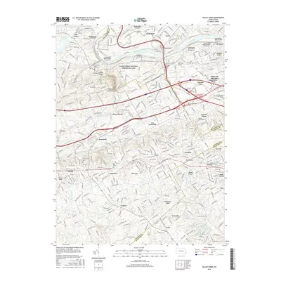 2016 Valley Forge2016 Print · USGSSoutheast Pennsylvania’s storied landscape is captured here as the twenty-first century approached, showing the suburban growth surrounding Valley Forge. Genealogists and local historians can locate many cemeteries like Wetherills Cem and trace old routes through Waterloo Mills and Bull Tavern.
- 2019 Map of Media, 2019 Print
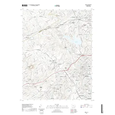 2019 Media2019 Print · USGSDelaware County at the end of the 2010s shows a dense network of historic settlements and institutional campuses anchored by the county seat. Genealogists can trace a wealth of burial sites including the Sandy Bank Burial Ground and Ohey Sholom Cem.
- 2019 Map of Valley Forge, 2019 Print
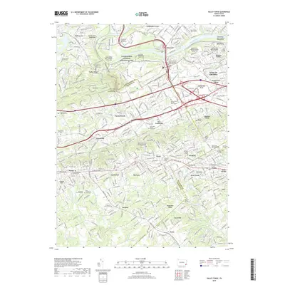 2019 Valley Forge2019 Print · USGSThe Main Line and Schuylkill Valley are shown here in the late 2010s, balancing the preservation of the Valley Forge National Historical Park with heavy suburban development. Genealogists can locate family burial sites at the Norris Family Burial Ground or the Valley Friends Meeting Burial Ground.
- 2023 Map of Media, 2023 Print
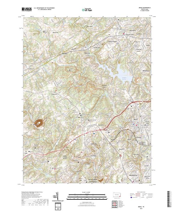 2023 Media2023 Print · USGSThe suburbs of Delaware County are shown in fine detail during the early 2020s, revealing a landscape where modern development meets centuries of Quaker history. Local researchers can trace family roots at Sandy Bank Burial Ground, the Willistown Friends Cem, and the colonial-era site of Sycamore Mills.
- 2023 Map of Valley Forge, 2023 Print
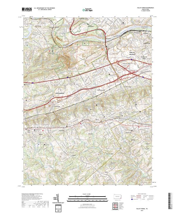 2023 Valley Forge2023 Print · USGSThe Main Line and Valley Forge area are documented here in the early twenty-first century, showing a dense landscape of historic burial grounds and modern suburbs. Genealogists can trace family sites like the Norris Family Burial Ground and Old Eagle Burying Ground near Wayne and Paoli.
End of results
Showing maps 1-10 of 10
Top cities near Easttown Township
- Philadelphia historical maps
- Upper Darby historical maps
- Chester historical maps
- Norristown historical maps
- Radnor Township historical maps
- Horsham Township historical maps
See more
Top neighborhoods of Easttown Township
- Berwyn historical maps
- Waterloo Mills historical maps
- Leopard historical maps
- Daylesford historical maps
- Devon historical maps
Frequently asked questions
- What are the different types of historical maps available for Easttown Township?
- What is the oldest map of Easttown Township?
- Where can I purchase historical maps of Easttown Township for my home or office?
- Where can I download high-res historical maps of Easttown Township?
- Are there historical topographic maps available for Easttown Township?
- Is there historical aerial imagery available for Easttown Township?
- Where are historical maps of Easttown Township sourced from?