Old Maps of New Garden Township, Pennsylvania for Genealogy
Trace your family roots with 29 historic maps of New Garden Township. These high-res maps reveal old neighborhoods, homesites, landmarks, and streets — helping you uncover where your ancestors lived and how the area evolved over time.
- Explore historic neighborhoods: Identify where your relatives may have lived in the 1800s or 1900s.
- Compare maps over time: Trace the changes in streets, buildings, and landmarks for multi-generational research.
- Perfect for genealogy & ancestry research: Used by family historians and researchers to map out lineage and migration.
These maps are an incredible resource for exploring your personal connection to New Garden Township's past.
New Garden Township, PA maps
(29)- 1901 Map of West Chester, 1958 Print
 1901 West Chester1958 Print · USGSSettled hills and river valleys between Pennsylvania and Delaware are captured here in the early twentieth century. Trace the industrial landscape from West Chester down to Wilmington, finding landmarks like the Henry Clay Factory and Dutton Mill.
 - 1904 Map of West Chester
 1904 West Chester1904 Print · USGSChester County at the dawn of the 1900s reveals a thriving network of rail-connected villages and early industrial sites along the Brandywine Creek. Researchers can trace old family lands near Dutton Mill, the House of Refuge, and the vanished stops of the West Chester Br. railroad.8 unique versions available
 - 1904 Map of Coatesville, 1960 Print
 1904 Coatesville1960 Print · USGSChester County at the turn of the century shows a bustling corridor of industry and education nestled between the Valley Hills and Mine Ridge. Trace the early development of Lincoln University, the rail hubs at Coatesville, and rural landmarks like Faggs Manor Ch.
 - 1906 Map of Coatesville
 1906 Coatesville1906 Print · USGSChester County during the first decade of the 1900s reveals a landscape defined by industrial expansion and established rural hamlets. Researchers can trace the early footprint of Lincoln University and follow historic turnpikes through settlements like Faggs Manor, Parkesburg, and Ercildoun.8 unique versions available
 - 1918 Map of Coatesville, 1921 Print
 1918 Coatesville1921 Print · USGSChester County and the Lancaster border are captured in the late First World War era as industrial and academic centers thrived. Trace the early layout of Lincoln University, the busy Pennsylvania R.R. corridor, and old post offices like Springdell Derbydown PO.
 - 1943 Map of Coatesville
 1943 Coatesville1943 Print · USGSChester County's industrial and rural landscape is shown in detail during the early 1940s, centered on the rail-driven growth of the Octoraro and Brandywine valleys. Family historians can trace ancestral roots through small hamlets and transit points like Derbydown PO, Doe Run Sta, and Sadsburyville.
 - 1943 Map of West Chester
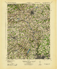 1943 West Chester1943 Print · USGSChester County during the early years of the war shows a landscape of established borough centers and winding creek valleys. Genealogists and historians can trace the rail-and-river network through West Chester, Brandywine Creek, and early industrial sites like Dutton Mill.
 - 1946 Map of Wilmington, 1948 Print
 1946 Wilmington1948 Print · USGSThe Delaware Valley and Jersey Shore emerge in this mid-century portrait of a region defined by river commerce and seaside growth. Genealogists and historians can trace the rail networks of the Pennsylvania Railroad, locate early airfields like Dover Airpark, and find river defenses at Fort Delaware.2 unique versions available
 - 1953 Map of West Grove, 1955 Print
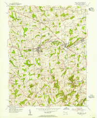 1953 West Grove1955 Print · USGSSouthern Chester County thrived as a rail and agricultural hub in the early fifties, where the Pennsylvania railroad linked growing boroughs. Researchers can trace historic local institutions like the New London Academy, St Marys Cem, and the rural Maple Grove Sch.5 unique versions available
 - 1954 Map of Kennett Square, 1956 Print
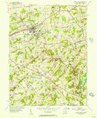 1954 Kennett Square1956 Print · USGSThe Pennsylvania and Delaware borderlands are shown here in the mid-fifties as the region balanced its rural roots with industrial growth. Genealogists and historians can trace family locations through sites like Old Kennett Meetinghouse, Hockessin, and Yorklyn.6 unique versions available
 - 1955 Map of Wilmington
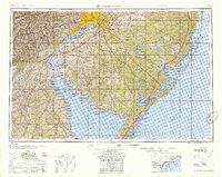 1955 Wilmington1955 Print · USGSThe Delaware Valley and Jersey Shore are seen here during the mid-fifties era of rapid suburban expansion and highway development. You can trace the path of the New Jersey Turnpike, locate the Fort Dix Military Reservation, or explore the rail networks of the Pennsylvania Railroad.
 - 1957 Map of Wilmington
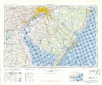 1957 Wilmington1957 Print · USGSThe mid-Atlantic coastal plain comes alive in the mid-fifties as the New Jersey Turnpike and Garden State Parkway redefine travel. Researchers can trace the rail-to-road transition and find landmarks like Ship John Shoal Light and the Fort Dix Military Reservation.2 unique versions available
 - 1959 Map of Wilmington
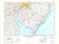 1959 Wilmington1959 Print · USGSThe Delaware Valley and Jersey Shore are seen here in the late fifties, during a period of massive suburban and highway expansion. Researchers can trace mid-century infrastructure like the N J Turnpike or locate coastal landmarks from Barnegat Bay to the Maurice River.3 unique versions available
 - 1966 Map of Wilmington, 1968 Print
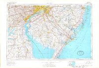 1966 Wilmington1968 Print · USGSThe Delaware Valley and Jersey Shore are seen here in the mid-1960s, documenting a landscape of dense industrial cities and emerging coastal resorts. Researchers can trace the sprawling rail networks of the Pennsylvania Railroad or locate landmarks like Fort Dix Military Reservation and Elk Neck State Park.4 unique versions available
 - 1972 Map of Wilmington, 1976 Print
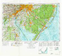 1972 Wilmington1976 Print · USGSThe Delaware Valley and Jersey Shore are seen here in the 1970s, showcasing the region's dense transport networks and vast state forests. Trace early coastal development near Atlantic City or locate rural landmarks like Mount Holly and Dover Air Force Base.2 unique versions available
 - 1984 Map of Wilmington, 1986 Print
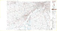 1984 Wilmington1986 Print · USGSThe Delaware Valley in the mid-eighties was a powerhouse of transit and industry where Delaware, New Jersey, Pennsylvania, and Maryland meet. Researchers can trace the sprawling rail networks of SEPTA and PATCO or locate historic sites like Fort Delaware State Park and Valley Forge State Forest.2 unique versions available
 - 1993 Map of Kennett Square
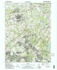 1993 Kennett Square1993 Print · USGSThe Pennsylvania and Delaware borderlands are documented here in the early nineties, centered on the borough of Kennett Square. Genealogists and local historians can trace legacy sites like the Old Kennett Meeting House, Longwood Cem, and the Covered Bridge near Ashland.
 - 1997 Map of West Grove, 1999 Print
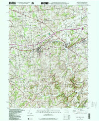 1997 West Grove1999 Print · USGSChester County's rural character is well-preserved in the late nineties, anchored by the crossroads at West Grove and Avondale. Researchers can locate historic rural sites like New London Academy, the Penn Central line, and the St Francis Xavier Ch.
 - 1999 Map of West Grove, 2001 Print
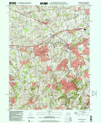 1999 West Grove2001 Print · USGSChester County at the turn of the millennium shows a landscape of established villages and interconnected creek branches. Genealogists and researchers can trace local landmarks from West Grove to Landenberg, including the New London Academy and St Marys Cem.
 - 2011 Map of West Grove, 2011 Print
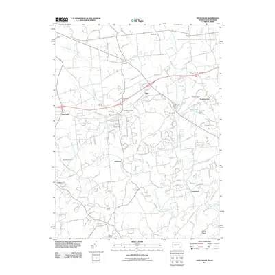 2011 West Grove2011 Print · USGSChester County in the early twenty-first century shows a blend of historic boroughs and sprawling agricultural research facilities. Researchers can trace the layout of West Grove and Avondale, or locate landmarks like the New Bolton Center and Saint Marys Cemetery.
 - 2011 Map of Kennett Square, 2011 Print
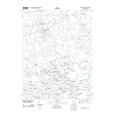 2011 Kennett Square2011 Print · USGSKennett Square and the surrounding Delaware borderlands are captured here in the early twenty-first century as suburban growth follows the historic Brandywine Valley routes. Researchers can trace local lineage at Longwood Cemetery or follow the Wilmington & Western RR through Yorklyn and Ashland.
 - 2013 Map of Kennett Square, 2013 Print
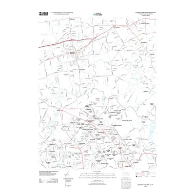 2013 Kennett Square2013 Print · USGSGreater Kennett Square and the Brandywine Valley hills appear in this modern era as a landscape of established estates and suburban growth. Genealogists and local researchers can trace neighborhood developments and legacy landmarks like Longwood Gardens, Mendenhall, and Yorklyn.
 - 2013 Map of West Grove, 2013 Print
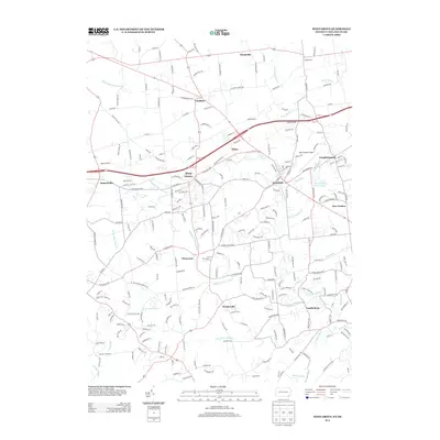 2013 West Grove2013 Print · USGSSouthern Chester County is shown in detail during the early 21st century as the communities of West Grove and Avondale continue to grow. Trace the local legacy of the White Clay Cr watershed through family-named routes like Mercer Mill Rd and Hess Mill Rd.
 - 2016 Map of West Grove, 2016 Print
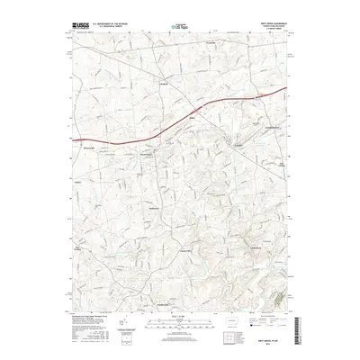 2016 West Grove2016 Print · USGSSouthern Chester County and the Delaware borderlands are shown in detail during a period of modern growth within an older rural framework. Local historians can trace family locations near West Grove, Saint Marys Cem, and the winding White Clay Cr.
 - 2016 Map of Kennett Square, 2016 Print
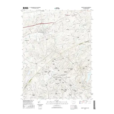 2016 Kennett Square2016 Print · USGSThe Pennsylvania and Delaware border near the turn of the twenty-first century is captured here as historical crossroads evolve into modern communities. Researchers can trace the lineage of local landmarks from Union Hill Cem to the industrial roots of Kaolin and Burnt Mills.
Showing maps 1-25 of 29
Top cities near New Garden Township
- Wilmington historical maps
- Newark historical maps
- West Goshen Township historical maps
- West Chester historical maps
- Elkton historical maps
- Hockessin historical maps
See more
Top neighborhoods of New Garden Township
- Lamatan II historical maps
- Landenberg historical maps
- Kaolin historical maps
- Toughkenamon historical maps
- Brittany Hills historical maps
- Brittingham historical maps
See more
Frequently asked questions
- What are the different types of historical maps available for New Garden Township?
- What is the oldest map of New Garden Township?
- Where can I purchase historical maps of New Garden Township for my home or office?
- Where can I download high-res historical maps of New Garden Township?
- Are there historical topographic maps available for New Garden Township?
- Is there historical aerial imagery available for New Garden Township?
- Where are historical maps of New Garden Township sourced from?