Old Maps of Willistown Township, Pennsylvania for Genealogy
Trace your family roots with 61 historic maps of Willistown Township. These high-res maps reveal old neighborhoods, homesites, landmarks, and streets — helping you uncover where your ancestors lived and how the area evolved over time.
- Explore historic neighborhoods: Identify where your relatives may have lived in the 1800s or 1900s.
- Compare maps over time: Trace the changes in streets, buildings, and landmarks for multi-generational research.
- Perfect for genealogy & ancestry research: Used by family historians and researchers to map out lineage and migration.
These maps are an incredible resource for exploring your personal connection to Willistown Township's past.
Willistown Township, PA maps
(61)- 1894 Map of Chester, 1954 Print
 1894 Chester1954 Print · USGSThe Delaware River corridor near Chester was a hive of rail activity and water-powered industry at the close of the century. Genealogists and historians can trace family-named mills such as Llewellyn Mills or visit the campus of the Williamson School and the borough of Media.2 unique versions available
 - 1894 Map of Norristown, 1959 Print
 1894 Norristown1959 Print · USGSSoutheast Pennsylvania at the end of the nineteenth century reveals a landscape defined by the Schuylkill River and a dense network of early railroads. Researchers can trace ancestral roots through old settlements like Skippack, Lansdale, and the rail junctions of the Perkiomen RR and Stony Creek RR.
 - 1895 Map of Norristown, 1898 Print
 1895 Norristown1898 Print · USGSMontgomery County at the end of the 19th century is a landscape of thriving river towns and bustling rail corridors. Researchers can trace the Victorian-era footprints of Norristown and Lansdale or locate historic landmarks like Valley Forge and Perkiomen Bridge.11 unique versions available
 - 1896 Map of Norristown
 1896 Norristown1896 Print · USGSMontgomery County in the mid-1890s reveals a landscape of growing railroad towns and historic creek-side settlements. Genealogists can trace family footprints near Waterloo Mills, the historic Perkiomen Bridge, and across the townships from Lansdale to Norristown.
 - 1896 Map of Chester
 1896 Chester1896 Print · USGSThe industrial corridor along the Delaware River thrives at the close of the nineteenth century as railroads and mills reshape the landscape. Genealogists can trace early homesteads and institutions like the Williamson School, Sharon Academy, and Sycamore Mills.
 - 1898 Map of Chester
 1898 Chester1898 Print · USGSThe Delaware River shoreline at the end of the nineteenth century reveals a landscape of industrial riverfronts and emerging mill towns. Genealogists and historians can trace family roots through numerous small settlements and institutions like Village Green, Booth Corner, and the Williamson School.10 unique versions available
 - 1901 Map of Camden
 1901 Camden1901 Print · USGSThe Delaware River valley at the turn of the century shows a bustling corridor of early industrial growth and established mill towns. Researchers can trace the heritage of local industry at Sycamore Mills or locate early settlements like Penns Grove and Village Green.3 unique versions available
 - 1901 Map of West Chester, 1958 Print
 1901 West Chester1958 Print · USGSSettled hills and river valleys between Pennsylvania and Delaware are captured here in the early twentieth century. Trace the industrial landscape from West Chester down to Wilmington, finding landmarks like the Henry Clay Factory and Dutton Mill.
 - 1904 Map of West Chester
 1904 West Chester1904 Print · USGSChester County at the dawn of the 1900s reveals a thriving network of rail-connected villages and early industrial sites along the Brandywine Creek. Researchers can trace old family lands near Dutton Mill, the House of Refuge, and the vanished stops of the West Chester Br. railroad.8 unique versions available
 - 1906 Map of Phoenixville
 1906 Phoenixville1906 Print · USGSThe industrial corridor along the Schuylkill River thrives in the early 1900s as rail networks expand through Chester and Montgomery counties. Genealogists and historians can trace old community centers like Seven Stars, Limerick, and the Paoli Monument.8 unique versions available
 - 1942 Map of Norristown
 1942 Norristown1942 Print · USGSSoutheastern Pennsylvania at the onset of World War II shows a landscape of busy industrial river towns and expanding rail suburbs. Genealogists and historians can trace the early transit networks connecting Norristown, Doylestown, and the riverfront at New Hope.
 - 1942 Map of Camden
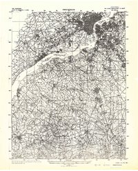 1942 Camden1942 Print · USGSThe Philadelphia and Camden metropolitan corridor is captured here at the height of the Second World War. Genealogists and historians can trace rail networks like the Reading R.R. and locate communities from Swedesboro to Merchantville.
 - 1943 Map of West Chester
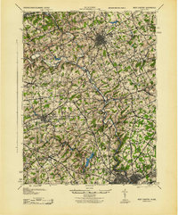 1943 West Chester1943 Print · USGSChester County during the early years of the war shows a landscape of established borough centers and winding creek valleys. Genealogists and historians can trace the rail-and-river network through West Chester, Brandywine Creek, and early industrial sites like Dutton Mill.
 - 1943 Map of Norristown
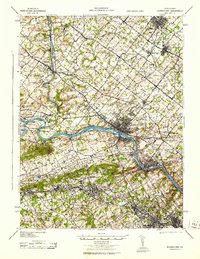 1943 Norristown1943 Print · USGSMontgomery County in the early 1940s is a thriving network of rail-side industrial hubs and established borough centers. Genealogists and local historians can trace the development of Norristown and Lansdale or locate landmarks like the Eastern State Penitentiary.
 - 1943 Map of Phoenixville
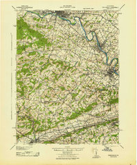 1943 Phoenixville1943 Print · USGSSoutheastern Pennsylvania during the early war years shows a landscape defined by the winding Schuylkill River and heavy rail traffic. Genealogists and historians can trace the early Pennsylvania Turnpike and explore historic locales like Fricks Lock and Nantmeal Village.
 - 1944 Map of Newark, 1971 Print
 1944 Newark1971 Print · USGSThe industrial corridor from Philadelphia to New York was in a period of massive transition during the mid-forties. Genealogists and researchers can trace the rail lines of the Lehigh Valley RR, locate military installations like Picatinny Arsenal, and explore the early sprawl near Levittown.5 unique versions available
 - 1945 Map of Media
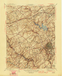 1945 Media1945 Print · USGSDelaware County is captured here in the mid-1940s, a period when traditional country estates and institutional campuses began meeting suburban expansion. Researchers can trace historic family landmarks like Tyler Arboretum, find old school sites like Sleighton Farm School, and locate the mills of Glen Riddle.2 unique versions available
 - 1946 Map of Wilmington, 1948 Print
 1946 Wilmington1948 Print · USGSThe Delaware Valley and Jersey Shore emerge in this mid-century portrait of a region defined by river commerce and seaside growth. Genealogists and historians can trace the rail networks of the Pennsylvania Railroad, locate early airfields like Dover Airpark, and find river defenses at Fort Delaware.2 unique versions available
 - 1949 Map of Newark
 1949 Newark1949 Print · USGSThe industrial corridor between Philadelphia and New York comes alive in this post-war survey. Genealogists and historians can trace the massive rail networks of the Reading Railroad and locate major installations like Fort Dix or Picatinny Arsenal.2 unique versions available
 - 1952 Map of Valley Forge, 1953 Print
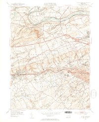 1952 Valley Forge1953 Print · USGSThe Main Line and Valley Forge area are captured here during the early fifties suburban expansion. Genealogists and researchers can trace local landmarks like Washington Memorial Chapel, the School for Blind, and the Norbertine Monastery.3 unique versions available
 - 1954 Map of West Chester, 1956 Print
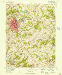 1954 West Chester1956 Print · USGSSoutheast Pennsylvania's rolling hills are captured in the mid-1950s as suburban expansion begins to blend with traditional crossroads. Genealogists can locate family landmarks such as Brinton, Green Mount Cem, and the Dante Orphanage while tracing the winding path of Chester Creek.4 unique versions available
 - 1955 Map of Wilmington
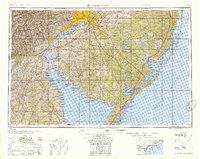 1955 Wilmington1955 Print · USGSThe Delaware Valley and Jersey Shore are seen here during the mid-fifties era of rapid suburban expansion and highway development. You can trace the path of the New Jersey Turnpike, locate the Fort Dix Military Reservation, or explore the rail networks of the Pennsylvania Railroad.
 - 1955 Map of Media
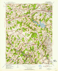 1955 Media1955 Print · USGSMid-century Delaware County was a landscape of significant private institutions and emerging suburbs just before the full suburban boom. Genealogists and researchers can trace local landmarks like Tyler Arboretum, the Williamson Trade School, and the historic rail junction at Wawa.2 unique versions available
 - 1955 Map of Malvern, 1957 Print
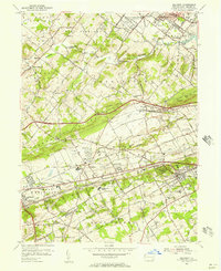 1955 Malvern1957 Print · USGSChester County during the mid-fifties is captured here as suburban growth begins to meet established rail towns and historic valley farms. Genealogists and local historians can trace the footprint of Immaculata College, the Valley Forge Army Hospital, and early housing at General Warren Village.6 unique versions available
 - 1956 Map of Newark
 1956 Newark1956 Print · USGSThe industrial heart of the Mid-Atlantic is captured here at the dawn of the highway era, tracing the dense corridors between Newark and Philadelphia. Genealogists and local historians can map the rail networks of the Reading RR or locate mid-century military life at Fort Dix Military Reservation.2 unique versions available
Showing maps 1-25 of 61
Top cities near Willistown Township
- Philadelphia historical maps
- Upper Darby historical maps
- Chester historical maps
- Norristown historical maps
- Radnor Township historical maps
- Marple Township historical maps
See more
Top neighborhoods of Willistown Township
- Knickerbocker historical maps
- Sugartown historical maps
- Whitehorse historical maps
- Duffryn Mawr historical maps
- Green Tree historical maps
Frequently asked questions
- What are the different types of historical maps available for Willistown Township?
- What is the oldest map of Willistown Township?
- Where can I purchase historical maps of Willistown Township for my home or office?
- Where can I download high-res historical maps of Willistown Township?
- Are there historical topographic maps available for Willistown Township?
- Is there historical aerial imagery available for Willistown Township?
- Where are historical maps of Willistown Township sourced from?