Old Maps of Monroe Township, Pennsylvania
Explore 31 old maps of Monroe Township, spanning from 1906 to today. These high-resolution historic maps reveal how streets, neighborhoods, landmarks, and natural features evolved over time — perfect for genealogy, metal detecting, research, and local history exploration.
What you can do with these maps:
- See how Monroe Township changed over time: Compare historical maps to modern-day views to trace roads, homesites, rail lines & more.
- View detailed metadata: Each map includes creators, publishers, year, scale, and archive source.
- Overlay maps with satellite & LiDAR: Visualize the past alongside modern tools to explore terrain & human change.
- Trusted historical sources: Maps sourced from the USGS, Library of Congress, and other archives.
- Access maps your way: View online, download high-res files, or order prints for personal or research use.
Start exploring old maps of Monroe Township to uncover forgotten places, hidden landmarks, and the deep history beneath your feet.
Monroe Township, PA maps
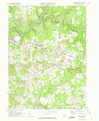
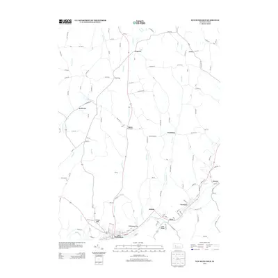
(31)- 1906 Map of Clarion
 1906 Clarion1906 Print · USGSClarion County at the turn of the century is defined by its deep river valleys and a bustling network of narrow-gauge railroads and coal mines. Genealogists and historians can trace dozens of rural schoolhouses and churches, from Concord Church to the Burma (Five Points) School and the early mines of Rimersburg.2 unique versions available
 - 1907 Map of Clarion
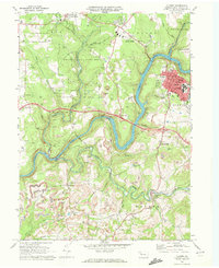
 1907 Clarion1907 Print · USGSClarion County at the dawn of the twentieth century shows a landscape shaped by coal mining and a complex rail network. Genealogists can locate specific family landmarks like Acme Mines, Concord Church, and rural outposts such as Limestone P.O..5 unique versions available
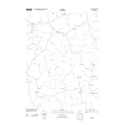
 - 1957 Map of Warren, 1964 Print
 1957 Warren1964 Print · USGSThe northern Pennsylvania oil and timber country comes into focus in the mid-fifties, showing the region before modern highway expansions. Trace the industrial rail networks of the Pennsylvania RR and the early Allegheny River Reservoir near Warren and Oil City.4 unique versions available
 - 1958 Map of Warren
 1958 Warren1958 Print · USGSNorthern Pennsylvania’s timber and oil country is captured here during the late fifties, showing the interplay of industrial valleys and vast state forests. Genealogists can trace family connections across the Cornplanter Indian Reservation or through rail hubs like Oil City and Saint Marys.
 - 1959 Map of Warren
 1959 Warren1959 Print · USGSNorthern Pennsylvania's oil and timber country comes alive in this late-fifties study of the forest-clad plateaus. Trace the historic Cornplanter (Indian Reservation), the sprawling Oil Field, and the rail lines of the Pennsylvania RR.2 unique versions available
 - 1968 Map of Strattanville, 1972 Print
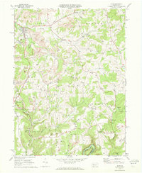
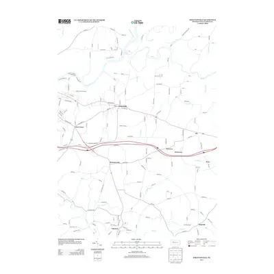
 1968 Strattanville1972 Print · USGSClarion County in the late sixties reveals a landscape shaped by coal extraction, the Penn Central railroad, and the expanding interstate. Genealogists and historians can locate the Old Seceder Cem, the Stone House, and the community of Mechanicsville.2 unique versions available
 - 1969 Map of Clarion, 1972 Print
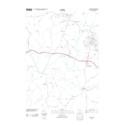
 1969 Clarion1972 Print · USGSClarion and its surrounding townships are shown here in the late sixties as the local economy balanced college life with heavy industry. Researchers can trace the legacy of rail and mining through Clarion Junction, the Penn Central line, and numerous Strip Mine sites.2 unique versions available
 - 1969 Map of Sligo, 1972 Print
 1969 Sligo1972 Print · USGSClarion County's extraction landscape is captured here in the late sixties, where rail lines and gas wells meet traditional rural hamlets. Local historians can trace the Penn Central tracks through Sligo or locate landmarks like Licking Ch and Squirrel Hill.3 unique versions available
 - 1969 Map of New Bethlehem, 1972 Print
 1969 New Bethlehem1972 Print · USGSThe Redbank Creek valley in the late 1960s was a bustling hub of rail and industry. Researchers can trace the legacy of the Gas Field and Strip Mine workings surrounding New Bethlehem, Hawthorn, and Fairmount City.2 unique versions available
 - 1971 Map of Warren
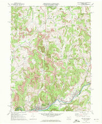
 1971 Warren1971 Print · USGSNorth Central Pennsylvania is captured here in the early seventies, showing a landscape defined by industrial centers and massive state forests. Genealogists and historians can trace the rail lines of the Penn Central and Erie Lackawanna connecting towns like Warren, Kane, and Du Bois.
 - 1983 Map of Oil City, 1984 Print
 1983 Oil City1984 Print · USGSThe Allegheny and Clarion river valleys are shown in the early eighties as a hub of rail lines and conservation lands. Genealogists can trace family connections in Oil City and Franklin or locate rural sites like the Pennsylvania State Hospital and School and Coal City.
 - 2010 Map of Strattanville, 2010 Print
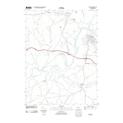
 2010 Strattanville2010 Print · USGSCovers Monroe Township, including Clarion, Limestone Township, and other nearby areas
 - 2010 Map of New Bethlehem, 2010 Print
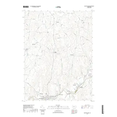
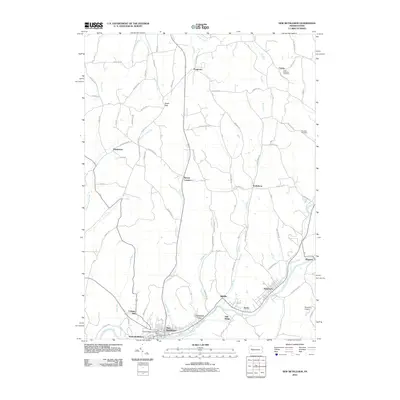 2010 New Bethlehem2010 Print · USGSCovers Monroe Township, including Limestone Township, New Bethlehem, and other nearby areas
 - 2010 Map of Sligo, 2010 Print
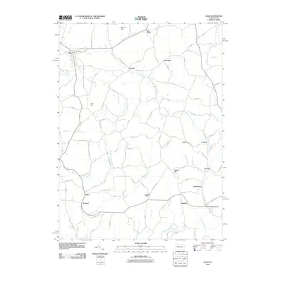 2010 Sligo2010 Print · USGSCovers Monroe Township, including Toby Township, Sligo, and other nearby areas
 - 2010 Map of Clarion, 2010 Print
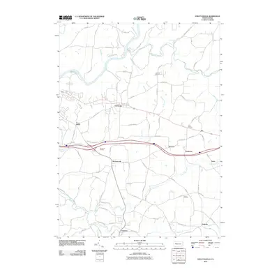
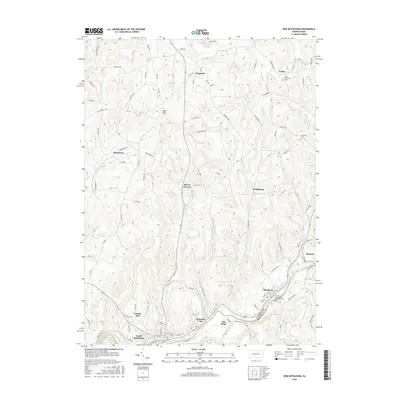
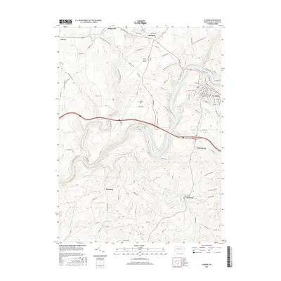
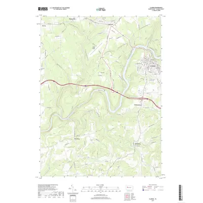
 2010 Clarion2010 Print · USGSCovers Monroe Township, including Clarion, Marianne, and other nearby areas
 - 2013 Map of New Bethlehem, 2013 Print
 2013 New Bethlehem2013 Print · USGSCovers Monroe Township, including Limestone Township, New Bethlehem, and other nearby areas
 - 2013 Map of Sligo, 2013 Print
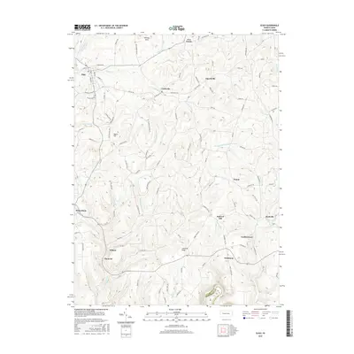
 2013 Sligo2013 Print · USGSCovers Monroe Township, including Toby Township, Sligo, and other nearby areas
 - 2013 Map of Strattanville, 2013 Print
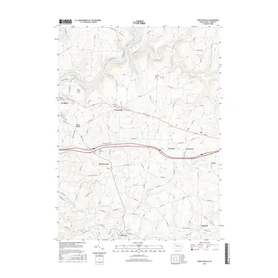
 2013 Strattanville2013 Print · USGSCovers Monroe Township, including Clarion, Limestone Township, and other nearby areas
 - 2013 Map of Clarion, 2013 Print
 2013 Clarion2013 Print · USGSCovers Monroe Township, including Clarion, Marianne, and other nearby areas
 - 2016 Map of New Bethlehem, 2016 Print
 2016 New Bethlehem2016 Print · USGSCovers Monroe Township, including Limestone Township, New Bethlehem, and other nearby areas
 - 2016 Map of Clarion, 2016 Print
 2016 Clarion2016 Print · USGSCovers Monroe Township, including Clarion, Marianne, and other nearby areas
 - 2016 Map of Strattanville, 2016 Print
 2016 Strattanville2016 Print · USGSCovers Monroe Township, including Clarion, Limestone Township, and other nearby areas
 - 2016 Map of Sligo, 2016 Print
 2016 Sligo2016 Print · USGSCovers Monroe Township, including Toby Township, Sligo, and other nearby areas
 - 2019 Map of Clarion, 2019 Print
 2019 Clarion2019 Print · USGSCovers Monroe Township, including Clarion, Marianne, and other nearby areas
 - 2019 Map of New Bethlehem, 2019 Print
 2019 New Bethlehem2019 Print · USGSCovers Monroe Township, including Limestone Township, New Bethlehem, and other nearby areas
Showing maps 1-25 of 31
Top cities near Monroe Township
- Cranberry Township historical maps
- Clarion historical maps
- Limestone Township historical maps
- Monroe historical maps
- Mahoning historical maps
- Rockland Township historical maps
See more
Top neighborhoods of Monroe Township
- Reidsburg historical maps
- Churchville historical maps
- Curllsville historical maps
- Williamsburg historical maps
- Five Points historical maps
Frequently asked questions
- What are the different types of historical maps available for Monroe Township?
- What is the oldest map of Monroe Township?
- Where can I purchase historical maps of Monroe Township for my home or office?
- Where can I download high-res historical maps of Monroe Township?
- Are there historical topographic maps available for Monroe Township?
- Is there historical aerial imagery available for Monroe Township?
- Where are historical maps of Monroe Township sourced from?