1950s Maps of Clearfield County, Pennsylvania
Explore 26 historic maps of Clearfield County from the 1950s. These maps offer a rare glimpse into what life looked like during the 1950s — showing old roads, neighborhoods, homes, and landmarks that have changed or disappeared over time.
Whether you're researching your family's past, planning a metal detecting trip, or studying how Clearfield County's landscape evolved across the 1950s, these high-resolution maps are a powerful tool for exploring the history of this region.
- Focus on a specific era: All maps on this page are from the 1950s, giving you a focused view of this time period.
- See what’s changed: Compare century-old streets, trails, and buildings to today's modern landscape using overlays and satellite layers.
- Research with precision: Use these maps for genealogy, historical research, land use analysis, or educational projects.
- View, download, or print: Maps are fully viewable online in high resolution, and can be downloaded or printed for your own records.
Start exploring Clearfield County's history through authentic maps from the 1950s. This is your window into the past.
Clearfield County, PA maps
(26)- 1953 Map of Pittsburgh
 1953 Pittsburgh1953 Print · USGSWestern Pennsylvania's industrial landscape at the start of the fifties shows the steel and rail corridors between Pittsburgh and Altoona. Trace family roots in river towns like Tarentum or follow the Pennsylvania Turnpike across Laurel Hill.
 - 1954 Map of Pittsburgh
 1954 Pittsburgh1954 Print · USGSWestern Pennsylvania in the early fifties remains a powerhouse of heavy industry and vital transit corridors. Genealogists and historians can trace the rail-and-river network connecting Pittsburgh, Johnstown, and Altoona via the Pennsylvania RR and the Lincoln Highway.2 unique versions available
 - 1957 Map of Warren, 1964 Print
 1957 Warren1964 Print · USGSThe northern Pennsylvania oil and timber country comes into focus in the mid-fifties, showing the region before modern highway expansions. Trace the industrial rail networks of the Pennsylvania RR and the early Allegheny River Reservoir near Warren and Oil City.4 unique versions available
 - 1958 Map of Pittsburgh
 1958 Pittsburgh1958 Print · USGSWestern Pennsylvania in the late fifties shows an industrial heartland defined by the confluence of the Allegheny River and Monongahela River. Researchers can trace the sprawling rail networks of the Pennsylvania RR and find established towns like Butler, Latrobe, and Windber.5 unique versions available
 - 1958 Map of Warren
 1958 Warren1958 Print · USGSNorthern Pennsylvania’s timber and oil country is captured here during the late fifties, showing the interplay of industrial valleys and vast state forests. Genealogists can trace family connections across the Cornplanter Indian Reservation or through rail hubs like Oil City and Saint Marys.
 - 1958 Map of Sandy Ridge, 1960 Print
 1958 Sandy Ridge1960 Print · USGSIn the late 1950s, the high country of the Allegheny Front is a mix of state conservation lands and active coal mining. Genealogists and hikers can trace the original Pennsylvania rail route and locate the rural Mt Pleasant Ch and Mt Pleasant Cem.6 unique versions available
 - 1959 Map of Philipsburg
 1959 Philipsburg1959 Print · USGSPhilipsburg and its neighboring coal-and-rail towns are captured in detail during the late fifties. Genealogists and historians can trace family roots through numerous sites like Kylertown Cem, St Johns Ch, and the many rail junctions at Hawk Run.5 unique versions available
 - 1959 Map of Warren
 1959 Warren1959 Print · USGSNorthern Pennsylvania's oil and timber country comes alive in this late-fifties study of the forest-clad plateaus. Trace the historic Cornplanter (Indian Reservation), the sprawling Oil Field, and the rail lines of the Pennsylvania RR.2 unique versions available
 - 1959 Map of Pittsburgh
 1959 Pittsburgh1959 Print · USGSWestern Pennsylvania in the late fifties is captured here at the height of its industrial era. Genealogists and historians can trace the riverfront growth of Pittsburgh, the rail works at Altoona, and the mountain gaps of Laurel Hill.
 - 1959 Map of Lecontes Mills, 1960 Print
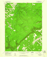
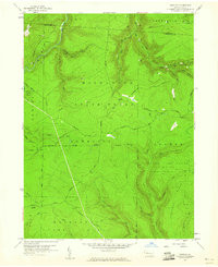
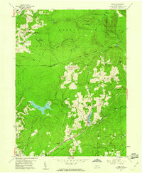
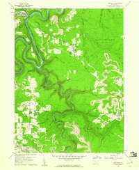
 1959 Lecontes Mills1960 Print · USGSThis late-fifties survey of the Clearfield County highlands shows a landscape defined by the winding West Branch Susquehanna River and a booming coal industry. Researchers can trace the New York Central rail line through the Shawville Tunnel to rural outposts like Needful and Gallows Harbor.6 unique versions available
 - 1959 Map of Mahaffey, 1960 Print
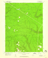
 1959 Mahaffey1960 Print · USGSClearfield County in the late fifties shows a landscape of river-valley settlements and upland extraction sites. Genealogists and historians can trace family roots at St Bonaventure Cem, explore the old Goffe Sch, or follow the New York Central rail line.6 unique versions available
 - 1959 Map of Irvona, 1960 Print
 1959 Irvona1960 Print · USGSClearfield County's industrial and rural landscape is shown in the late fifties as coal mining and rail transport defined local life. Genealogists and historians can trace the foundations of Irvona, Coalport, and Ansonville, or locate family sites like Zion Ch and St Michaels Ch.5 unique versions available
 - 1959 Map of Luthersburg, 1960 Print
 1959 Luthersburg1960 Print · USGSClearfield County's coal and rail landscape comes to life in this late-fifties study of the area between DU BOIS and Rockton. Researchers can trace the BALTIMORE AND OHIO line through old stops like Luthersburg Sta and locate family landmarks such as St Johns Ch or Morningside Cemetery.5 unique versions available
 - 1959 Map of Elliott Park, 1960 Print
 1959 Elliott Park1960 Print · USGSThe Clearfield County high country is documented here in the late fifties as coal extraction and reforestation shaped the landscape. Genealogists and historians can trace family locations near Greenville, Pleasant Grove Ch, and numerous Strip Mines.5 unique versions available
 - 1959 Map of Curwensville, 1960 Print
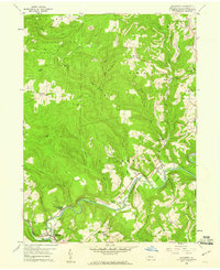
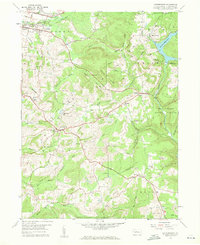
 1959 Curwensville1960 Print · USGSThe West Branch Susquehanna River region in the late 1950s shows a landscape of deep valleys and coal mining. Genealogists and historians can trace rail lines to settlements like Lumber City and Grampian, or locate sites like Zion Ch and Oak Hill Cemetery.5 unique versions available
 - 1959 Map of Huntley, 1960 Print
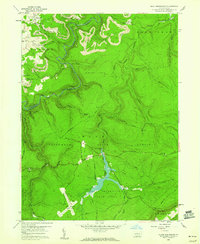
 1959 Huntley1960 Print · USGSThe high woods of Clearfield and Elk counties are captured here at the end of the 1950s, showing a land balanced between resource extraction and recreation. Researchers can trace early energy development at various Gas Well sites or locate landmarks like Panther Rocks and Parker Dam State Park.3 unique versions available
 - 1959 Map of Black Moshannon, 1960 Print
 1959 Black Moshannon1960 Print · USGSThe Pennsylvania Alleghenies are shown in the late fifties as a landscape defined by state forests and coal extraction. Genealogists and historians can trace the New York Central rail line through Grassflat or locate the Rattlesnake Lookout Tower and Black Moshannon Dam.3 unique versions available
 - 1959 Map of Penfield, 1960 Print
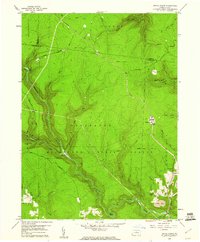
 1959 Penfield1960 Print · USGSClearfield County is shown at a mid-century peak of resource extraction and forestry during the late 1950s. Genealogists and historians can trace rail-side settlements like Penfield and Winterburn, or locate family sites near the Mt Pleasant Cem and Laurel Run Cem.5 unique versions available
 - 1959 Map of Westover, 1960 Print
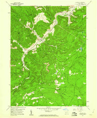
 1959 Westover1960 Print · USGSClearfield County's coal and rail corridor comes into sharp focus during the late fifties along the winding Chest Creek. Researchers can trace the industrial landscape of strip mines and tipples near Mahaffey, Westover, and the Mahaffey Racetrack.3 unique versions available
 - 1959 Map of Sabula, 1960 Print
 1959 Sabula1960 Print · USGSThe highland railroads and coal-mining operations of Clearfield and Jefferson counties are documented here in the late fifties. Researchers can trace historic family burial sites at Bundy Cem and Morningside Cemetery or locate the Sabula Tunnel and Boy Scout Camp.7 unique versions available
 - 1959 Map of The Knobs, 1960 Print
 1959 The Knobs1960 Print · USGSThe wooded highlands of Clearfield County are captured here in the late fifties, a time when fire towers and logging roads defined the backcountry. Researchers can trace historical routes like the Caledonia Pike and locate landmarks such as the Knobs Lookout Tower and Old Round Top.6 unique versions available
 - 1959 Map of Devils Elbow, 1960 Print
 1959 Devils Elbow1960 Print · USGSThe high plateau of Clearfield and Cameron Counties is shown here in the late fifties, dominated by the timberlands of the Moshannon State Forest. Genealogists and outdoorsmen can trace the rugged topography near Quehanna, locating isolated landmarks like the Lookout Tower and Arnold Mtn.4 unique versions available
 - 1959 Map of Frenchville, 1961 Print
 1959 Frenchville1961 Print · USGSClearfield County in the late fifties was a landscape of deep river bends and industrial extraction. Researchers can trace the New York Central rail line along the river or locate local family landmarks like Guenot Settlement and St Johns Ch.5 unique versions available
 - 1959 Map of Clearfield, 1961 Print
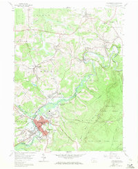
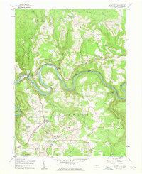
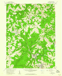
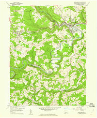
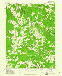
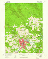 1959 Clearfield1961 Print · USGSClearfield and the Susquehanna River valley are captured here at a peak of industrial activity in the late fifties. Genealogists and historians can trace family-named sites like the Baney Settlement or locate records at Hillcrest Cem and St Francis Sch.5 unique versions available
 - 1959 Map of Karthaus, 1961 Print
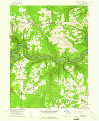
 1959 Karthaus1961 Print · USGSCentral Pennsylvania's rugged plateau is captured here in the late fifties, showing the river-and-rail corridor along the West Branch Susquehanna River. Genealogists and historians can trace old homesteads in German Settlement and Cooper Settlement, or locate early burials at St Severins Cem.5 unique versions available
Showing maps 1-25 of 26
Top cities of Clearfield County
- Sandy Township historical maps
- DuBois historical maps
- Clearfield historical maps
- Curwensville historical maps
- Beccaria Township historical maps
- Osceola Mills historical maps
See more
Frequently asked questions
- What are the different types of historical maps available for Clearfield County?
- What is the oldest map of Clearfield County?
- Where can I purchase historical maps of Clearfield County for my home or office?
- Where can I download high-res historical maps of Clearfield County?
- Are there historical topographic maps available for Clearfield County?
- Is there historical aerial imagery available for Clearfield County?
- Where are historical maps of Clearfield County sourced from?