Old Maps of Fernwood, Gulich Township
Explore 16 old maps of Fernwood, spanning from 1903 to today. These high-resolution historic maps reveal how streets, neighborhoods, landmarks, and natural features evolved over time — perfect for genealogy, metal detecting, research, and local history exploration.
What you can do with these maps:
- See how Fernwood changed over time: Compare historical maps to modern-day views to trace roads, homesites, rail lines & more.
- View detailed metadata: Each map includes creators, publishers, year, scale, and archive source.
- Overlay maps with satellite & LiDAR: Visualize the past alongside modern tools to explore terrain & human change.
- Trusted historical sources: Maps sourced from the USGS, Library of Congress, and other archives.
- Access maps your way: View online, download high-res files, or order prints for personal or research use.
Start exploring old maps of Fernwood to uncover forgotten places, hidden landmarks, and the deep history beneath your feet.
Fernwood, Gulich Township maps
(16)- 1903 Map of Houtzdale, 1959 Print
 1903 Houtzdale1959 Print · USGSClearfield County was a hub of rail and river activity at the turn of the century as industrial towns expanded along the Allegheny Mts. Researchers can trace the early layout of Houtzdale, find family-named post offices like Oshanter P.O. Mitchells, and follow the winding Clearfield Creek.
 - 1905 Map of Houtzdale
 1905 Houtzdale1905 Print · USGSHoutzdale and the surrounding Clearfield County coalfields are captured here during their industrial prime at the turn of the century. Genealogists and historians can trace rail-dependent settlements and local post offices like Kephart P.O., Belsena Mills, and Brisbin.5 unique versions available
 - 1945 Map of Ramey, 1955 Print
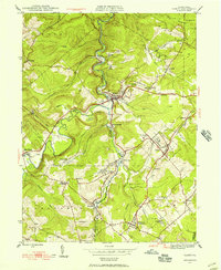 1945 Ramey1955 Print · USGSClearfield County's coal and rail corridors are captured here just as the post-war era began. Researchers can trace family roots and vanished landmarks through Madera, the Manor Hill Sch, and the Janesville Smithmill P O.4 unique versions available
 - 1947 Map of Ramey
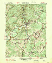 1947 Ramey1947 Print · USGSPost-war Clearfield County is captured here during a peak era of rail-driven mountain industry and rural settlement. Genealogists can trace family names at Hegarty Crossroads, find the Janesville Smithmill P O, or locate ancestors at Calvary Cem.2 unique versions available
 - 1953 Map of Pittsburgh
 1953 Pittsburgh1953 Print · USGSWestern Pennsylvania's industrial landscape at the start of the fifties shows the steel and rail corridors between Pittsburgh and Altoona. Trace family roots in river towns like Tarentum or follow the Pennsylvania Turnpike across Laurel Hill.
 - 1954 Map of Pittsburgh
 1954 Pittsburgh1954 Print · USGSWestern Pennsylvania in the early fifties remains a powerhouse of heavy industry and vital transit corridors. Genealogists and historians can trace the rail-and-river network connecting Pittsburgh, Johnstown, and Altoona via the Pennsylvania RR and the Lincoln Highway.2 unique versions available
 - 1958 Map of Pittsburgh
 1958 Pittsburgh1958 Print · USGSWestern Pennsylvania in the late fifties shows an industrial heartland defined by the confluence of the Allegheny River and Monongahela River. Researchers can trace the sprawling rail networks of the Pennsylvania RR and find established towns like Butler, Latrobe, and Windber.5 unique versions available
 - 1959 Map of Pittsburgh
 1959 Pittsburgh1959 Print · USGSWestern Pennsylvania in the late fifties is captured here at the height of its industrial era. Genealogists and historians can trace the riverfront growth of Pittsburgh, the rail works at Altoona, and the mountain gaps of Laurel Hill.
 - 1964 Map of Pittsburgh
 1964 Pittsburgh1964 Print · USGSWestern Pennsylvania in the late fifties and early sixties shows a landscape of powerful river industries and expanding highways. Genealogists and historians can trace the rail corridors of the Pennsylvania RR through industrial hubs like Johnstown, Altoona, and Nanty Glo.
 - 1984 Map of Tyrone, 1985 Print
 1984 Tyrone1985 Print · USGSCentral Pennsylvania in the mid-eighties shows a rugged landscape defined by the industry of Altoona and the ridges of the Appalachians. Genealogists and historians can trace the rail corridors of CONRAIL and locate vanished family homes near Glendale Lake or within Sinking Valley.
 - 1993 Map of Ramey, 1994 Print
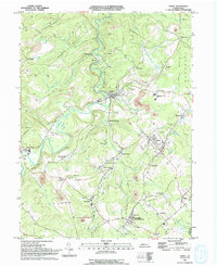 1993 Ramey1994 Print · USGSClearfield County's coal country is captured here in the early nineties, showing a landscape defined by industry and valley hamlets. Researchers can trace family roots at Janesville, Hegarty Crossroads, and the St Marys Cem.
 - 2010 Map of Ramey, 2010 Print
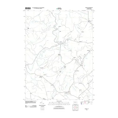 2010 Ramey2010 Print · USGSBeccaria Township and its surrounding boroughs are captured here at the start of the 2010s, showcasing a landscape defined by Clearfield Creek. Researchers can locate family roots at Saint Marys Cemetery or trace the development of crossroads communities like Janesville and Hegarty Crossroads.
 - 2013 Map of Ramey, 2013 Print
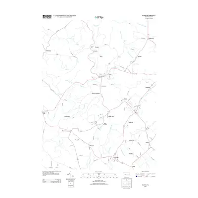 2013 Ramey2013 Print · USGSBeccaria Township and the surrounding valleys are shown here at the start of the twenty-first century, capturing a landscape defined by traditional junctions and small settlements. Researchers can trace historical footprints through names like Belsena Mills, Banian Junction, and Smoke Run.
 - 2016 Map of Ramey, 2016 Print
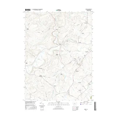 2016 Ramey2016 Print · USGSClearfield County is shown here in the mid-2010s, where the winding path of Clearfield Creek shapes the local geography. Researchers can trace family history through numerous local burial sites including Beulah Cem, Henderson Cem, and Alexander Cem.
 - 2019 Map of Ramey, 2019 Print
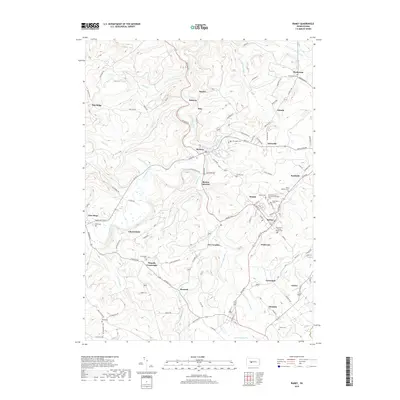 2019 Ramey2019 Print · USGSClearfield County's coal country comes into focus in this recent survey of its small towns and winding creek valleys. Genealogists can trace family names through several historic sites like Saint Marys Cem, Hegarty Crossroads, and Madera.
 - 2023 Map of Ramey, 2023 Print
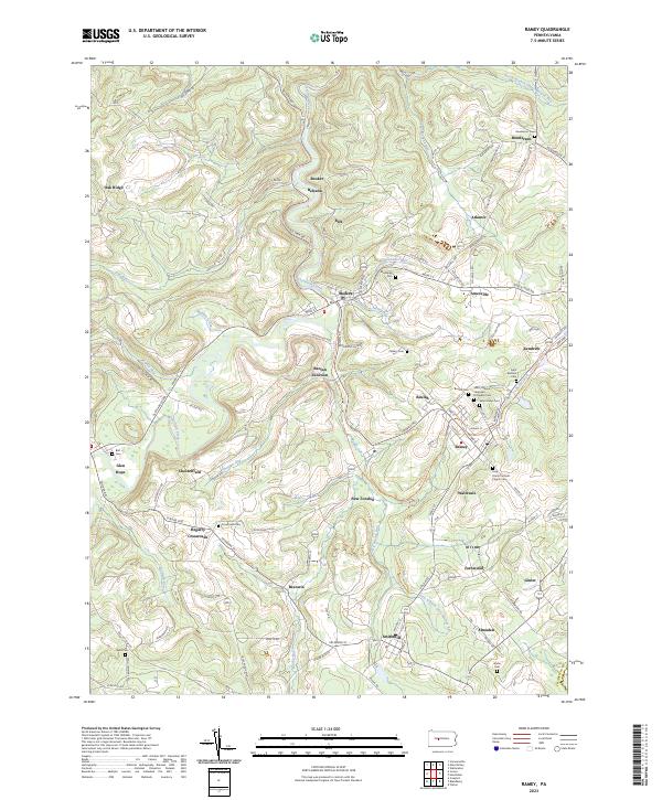 2023 Ramey2023 Print · USGSRamey and the southern Clearfield County countryside appear in meticulous detail during the early 2020s. Researchers can trace ancestral roots through an unusual density of burial sites including Saint Marys Cem, Saint Barbara Cem, and Crossroads Cem.
End of results
Showing maps 1-16 of 16
Top cities near Fernwood
- Altoona historical maps
- Tyrone historical maps
- Philipsburg historical maps
- Curwensville historical maps
- Bellwood historical maps
- Beccaria Township historical maps
See more
Frequently asked questions
- What are the different types of historical maps available for Fernwood?
- What is the oldest map of Fernwood?
- Where can I purchase historical maps of Fernwood for my home or office?
- Where can I download high-res historical maps of Fernwood?
- Are there historical topographic maps available for Fernwood?
- Is there historical aerial imagery available for Fernwood?
- Where are historical maps of Fernwood sourced from?