Old Maps of Oak Hill, Karthaus Township for Metal Detecting
Plan your next treasure hunt with 13 historic maps of Oak Hill. Find old homesites, ghost towns, trails, and gathering spots that may be lost to time — perfect for identifying promising metal detecting locations.
- Locate forgotten sites: Uncover places like long-lost settlements, abandoned rail lines, or gathering spots.
- Plan better hunts: Use map overlays combined with LiDAR or satellite views to narrow in on historically rich areas.
- Made for detectorists: Thousands of hobbyists use these maps to discover relics, coins, and hidden history.
Use these historic maps to boost your research and find new opportunities beneath the surface of Oak Hill.
Oak Hill, Karthaus Township maps
(13)- 1929 Map of Karthaus
 1929 Karthaus1929 Print · USGSThe West Branch Susquehanna River and its steep hollows defined life in Clearfield County during the late twenties. Researchers can trace the riverfront New York Central Railroad and find dozens of rural school sites like Fairview Sch and the community at Frenchville.3 unique versions available
 - 1932 Map of Karthaus
 1932 Karthaus1932 Print · USGSThe Susquehanna’s West Branch winds through Clearfield and Centre Counties in the late 1920s, a landscape shaped by the rail and timber industries. Genealogists can trace family names through dozens of rural schools and churches like Mignot Sch and Fairview Ch.3 unique versions available
 - 1957 Map of Warren, 1964 Print
 1957 Warren1964 Print · USGSThe northern Pennsylvania oil and timber country comes into focus in the mid-fifties, showing the region before modern highway expansions. Trace the industrial rail networks of the Pennsylvania RR and the early Allegheny River Reservoir near Warren and Oil City.4 unique versions available
 - 1958 Map of Warren
 1958 Warren1958 Print · USGSNorthern Pennsylvania’s timber and oil country is captured here during the late fifties, showing the interplay of industrial valleys and vast state forests. Genealogists can trace family connections across the Cornplanter Indian Reservation or through rail hubs like Oil City and Saint Marys.
 - 1959 Map of Warren
 1959 Warren1959 Print · USGSNorthern Pennsylvania's oil and timber country comes alive in this late-fifties study of the forest-clad plateaus. Trace the historic Cornplanter (Indian Reservation), the sprawling Oil Field, and the rail lines of the Pennsylvania RR.2 unique versions available
 - 1959 Map of Pottersdale, 1961 Print
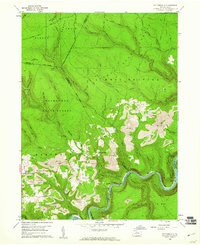 1959 Pottersdale1961 Print · USGSThe northern Pennsylvania coal and timber country is captured here during the late fifties, showing the industrial interface between state forests and coal extraction. Genealogists and historians can locate Oak Hill Ch, trace the New York Central along the river, and find rural settlements like Pottersdale and Belford.4 unique versions available
 - 1971 Map of Warren
 1971 Warren1971 Print · USGSNorth Central Pennsylvania is captured here in the early seventies, showing a landscape defined by industrial centers and massive state forests. Genealogists and historians can trace the rail lines of the Penn Central and Erie Lackawanna connecting towns like Warren, Kane, and Du Bois.
 - 1983 Map of Clearfield, 1984 Print
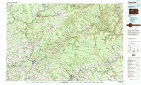 1983 Clearfield1984 Print · USGSPennsylvania's coal and timber heartland is captured in the early eighties as industrial hubs like Du Bois and Saint Marys thrived among the state forests. Genealogists can locate family landmarks like Morningside Cemetery, the old works at Dagus Mines, and the rural community of Byrnedale.
 - 2010 Map of Pottersdale, 2010 Print
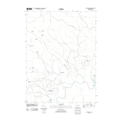 2010 Pottersdale2010 Print · USGSKarthaus Township was characterized by its deep connection to the river and mining industries during the first decade of the 2000s. Researchers can trace land use through the Perry Moshannon Mine, find local family plots at Ganoe Cemetery, and locate the Three Runs Lookout Tower.
 - 2013 Map of Pottersdale, 2013 Print
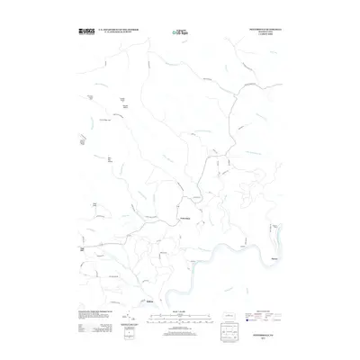 2013 Pottersdale2013 Print · USGSKarthaus Township and the West Branch valley are documented here in the early twenty-first century as the landscape transitioned through modern land use. Genealogists and historians can trace the remote settlements of Pottersdale and Spruce, locate the Three Runs Lookout Tower, or follow the river to Coleman Siding.
 - 2016 Map of Pottersdale, 2016 Print
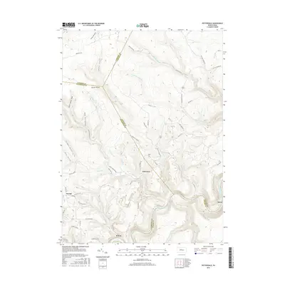 2016 Pottersdale2016 Print · USGSClearfield County and the winding Susquehanna River are captured here in the mid-2010s, showing a landscape defined by deep drafts and high ridges. Researchers can locate the Ganoe Cem and trace old industrial paths like the Old Strip Mine Trl near Pottersdale and Belford.
 - 2019 Map of Pottersdale, 2019 Print
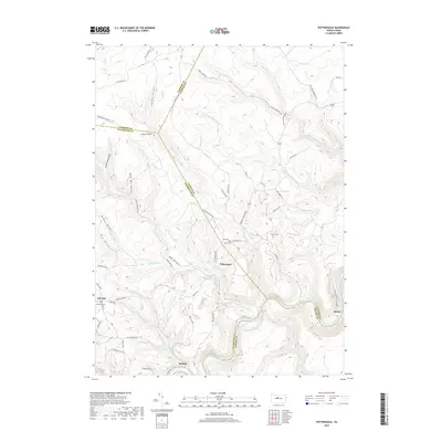 2019 Pottersdale2019 Print · USGSThe central Pennsylvania highlands near the West Branch Susquehanna River are documented here in the late twenty-teens. Genealogists and local researchers can trace old mountain roads to Pottersdale and locate burial sites like Ganoe Cem and Gaines Cem.
 - 2023 Map of Pottersdale, 2023 Print
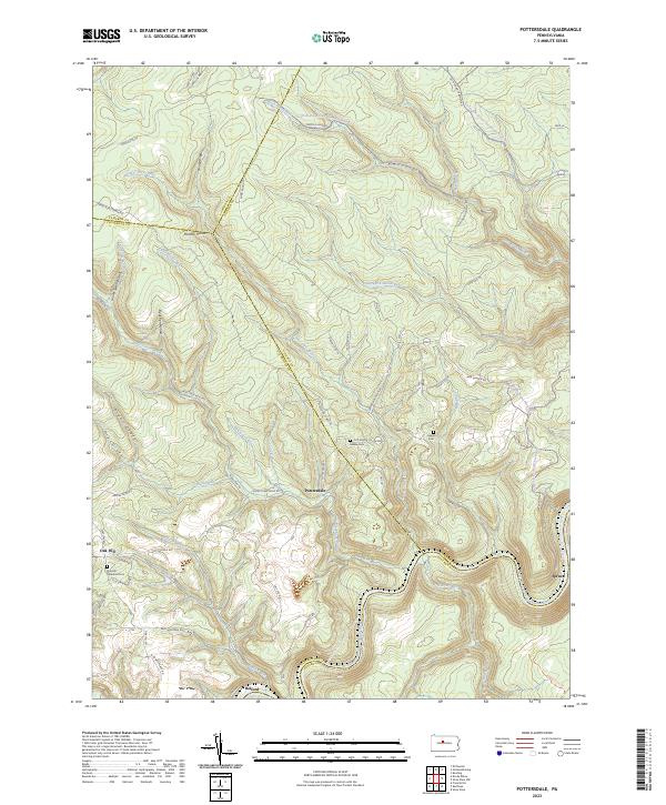 2023 Pottersdale2023 Print · USGSThe rugged junction of Clearfield and Clinton counties is captured here in the 2020s. Genealogists and hikers can trace the remote settlements of Pottersdale and Oak Hill, locating the Gaines Cem and the deep woods of Panther Hollow.
End of results
Showing maps 1-13 of 13
Top cities near Oak Hill
- Bigler historical maps
- Karthaus Township historical maps
- Snow Shoe historical maps
- Goshen Township historical maps
- Wallaceton historical maps
- Moshannon historical maps
See more
Frequently asked questions
- What are the different types of historical maps available for Oak Hill?
- What is the oldest map of Oak Hill?
- Where can I purchase historical maps of Oak Hill for my home or office?
- Where can I download high-res historical maps of Oak Hill?
- Are there historical topographic maps available for Oak Hill?
- Is there historical aerial imagery available for Oak Hill?
- Where are historical maps of Oak Hill sourced from?