2000s (21st Century) Maps of Chapman Township, Pennsylvania
Explore 30 historic maps of Chapman Township from the 2000s (21st Century). These maps offer a rare glimpse into what life looked like during the 2000s — showing old roads, neighborhoods, homes, and landmarks that have changed or disappeared over time.
Whether you're researching your family's past, planning a metal detecting trip, or studying how Chapman Township's landscape evolved across the 2000s, these high-resolution maps are a powerful tool for exploring the history of this region.
- Focus on a specific era: All maps on this page are from the 2000s, giving you a focused view of this time period.
- See what’s changed: Compare century-old streets, trails, and buildings to today's modern landscape using overlays and satellite layers.
- Research with precision: Use these maps for genealogy, historical research, land use analysis, or educational projects.
- View, download, or print: Maps are fully viewable online in high resolution, and can be downloaded or printed for your own records.
Start exploring Chapman Township's history through authentic maps from the 2000s. This is your window into the past.
Chapman Township, PA maps
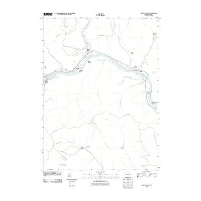
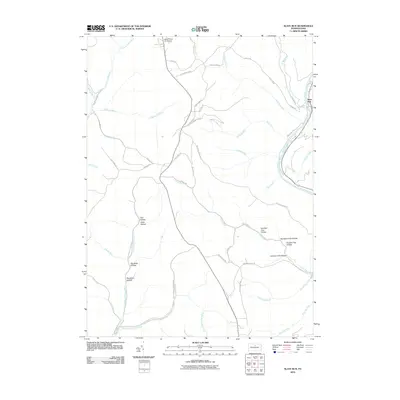
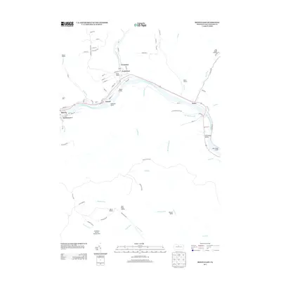
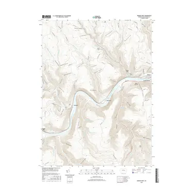
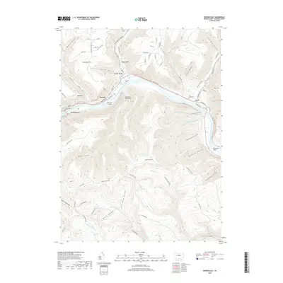
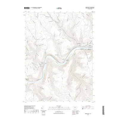
(30)- 2010 Map of Renovo West, 2010 Print
 2010 Renovo West2010 Print · USGSCovers Chapman Township, including Leidy Township, Shintown, and other nearby areas
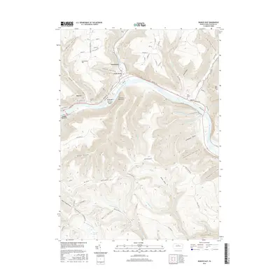
 - 2010 Map of Renovo East, 2010 Print
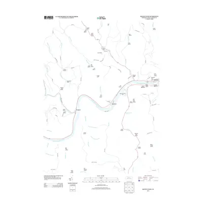
 2010 Renovo East2010 Print · USGSCovers Chapman Township, including South Renovo, Farwell, and other nearby areas
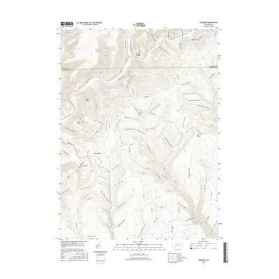
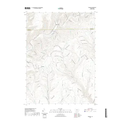
 - 2010 Map of Tamarack, 2010 Print
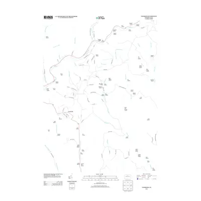
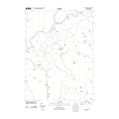 2010 Tamarack2010 Print · USGSCovers Chapman Township, including Leidy Township, Wharton Township, and other nearby areas
 - 2010 Map of Glen Union, 2010 Print
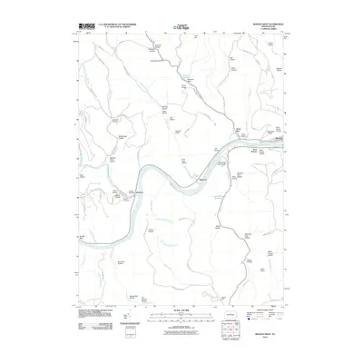
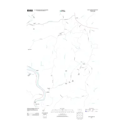
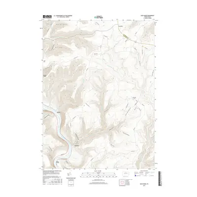
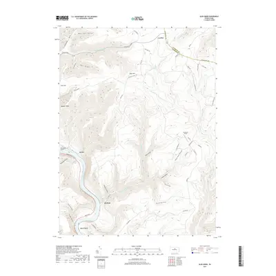
 2010 Glen Union2010 Print · USGSCovers Chapman Township, including Gallagher Township, Ritchie, and other nearby areas
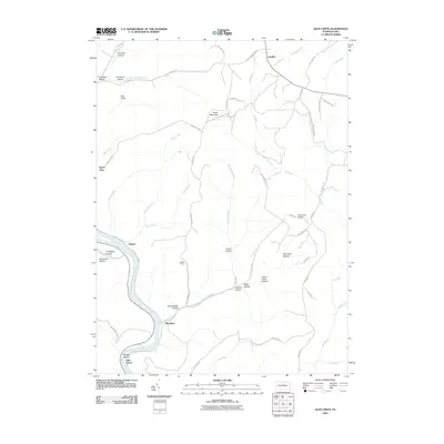
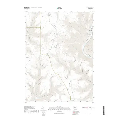
 - 2010 Map of Slate Run, 2010 Print
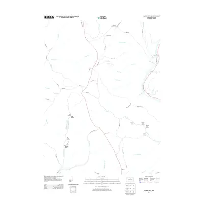
 2010 Slate Run2010 Print · USGSCovers Chapman Township, including Stewardson Township, Brown Township, and other nearby areas
 - 2010 Map of Young Womans Creek, 2010 Print
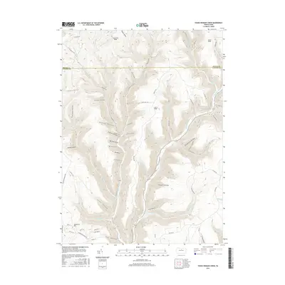
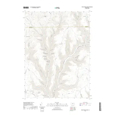
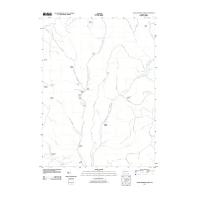 2010 Young Womans Creek2010 Print · USGSCovers Chapman Township, including Stewardson Township, Clinton County, and other nearby areas
 - 2013 Map of Tamarack, 2013 Print
 2013 Tamarack2013 Print · USGSCovers Chapman Township, including Leidy Township, Wharton Township, and other nearby areas
 - 2013 Map of Young Womans Creek, 2013 Print
 2013 Young Womans Creek2013 Print · USGSCovers Chapman Township, including Stewardson Township, Clinton County, and other nearby areas
 - 2013 Map of Slate Run, 2013 Print
 2013 Slate Run2013 Print · USGSCovers Chapman Township, including Stewardson Township, Brown Township, and other nearby areas
 - 2013 Map of Glen Union, 2013 Print
 2013 Glen Union2013 Print · USGSCovers Chapman Township, including Gallagher Township, Ritchie, and other nearby areas
 - 2013 Map of Renovo West, 2013 Print
 2013 Renovo West2013 Print · USGSCovers Chapman Township, including Leidy Township, Shintown, and other nearby areas
 - 2013 Map of Renovo East, 2013 Print
 2013 Renovo East2013 Print · USGSCovers Chapman Township, including South Renovo, Farwell, and other nearby areas
 - 2016 Map of Young Womans Creek, 2016 Print
 2016 Young Womans Creek2016 Print · USGSCovers Chapman Township, including Stewardson Township, Clinton County, and other nearby areas
 - 2016 Map of Renovo West, 2016 Print
 2016 Renovo West2016 Print · USGSCovers Chapman Township, including Leidy Township, Shintown, and other nearby areas
 - 2016 Map of Tamarack, 2016 Print
 2016 Tamarack2016 Print · USGSCovers Chapman Township, including Leidy Township, Wharton Township, and other nearby areas
 - 2016 Map of Slate Run, 2016 Print
 2016 Slate Run2016 Print · USGSCovers Chapman Township, including Stewardson Township, Brown Township, and other nearby areas
 - 2016 Map of Renovo East, 2016 Print
 2016 Renovo East2016 Print · USGSCovers Chapman Township, including South Renovo, Farwell, and other nearby areas
 - 2016 Map of Glen Union, 2016 Print
 2016 Glen Union2016 Print · USGSCovers Chapman Township, including Gallagher Township, Ritchie, and other nearby areas
 - 2019 Map of Renovo East, 2019 Print
 2019 Renovo East2019 Print · USGSCovers Chapman Township, including South Renovo, Farwell, and other nearby areas
 - 2019 Map of Glen Union, 2019 Print
 2019 Glen Union2019 Print · USGSCovers Chapman Township, including Gallagher Township, Ritchie, and other nearby areas
 - 2019 Map of Renovo West, 2019 Print
 2019 Renovo West2019 Print · USGSCovers Chapman Township, including Leidy Township, Shintown, and other nearby areas
 - 2019 Map of Young Womans Creek, 2019 Print
 2019 Young Womans Creek2019 Print · USGSCovers Chapman Township, including Stewardson Township, Clinton County, and other nearby areas
 - 2019 Map of Tamarack, 2019 Print
 2019 Tamarack2019 Print · USGSCovers Chapman Township, including Leidy Township, Wharton Township, and other nearby areas
 - 2019 Map of Slate Run, 2019 Print
 2019 Slate Run2019 Print · USGSCovers Chapman Township, including Stewardson Township, Brown Township, and other nearby areas
 - 2023 Map of Glen Union, 2023 Print
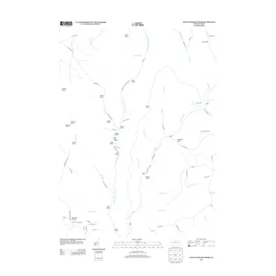
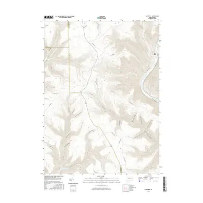
 2023 Glen Union2023 Print · USGSClinton County’s river-carved plateau is shown in modern detail as it remains today, defined by the isolated riverside settlements of Glen Union and Whetham. Genealogists and outdoor historians can trace the paths of Renovo Rd and the Coudersport Pike through the ridges of Hyner Mountain.
Showing maps 1-25 of 30
Top cities near Chapman Township
- Morris Township historical maps
- South Renovo historical maps
- Gallagher Township historical maps
- Leidy Township historical maps
- Abbott Township historical maps
- Wharton Township historical maps
Top neighborhoods of Chapman Township
- Gleasonton historical maps
- North Bend historical maps
- Farwell historical maps
- Little Italee historical maps
- Hyner historical maps
Frequently asked questions
- What are the different types of historical maps available for Chapman Township?
- What is the oldest map of Chapman Township?
- Where can I purchase historical maps of Chapman Township for my home or office?
- Where can I download high-res historical maps of Chapman Township?
- Are there historical topographic maps available for Chapman Township?
- Is there historical aerial imagery available for Chapman Township?
- Where are historical maps of Chapman Township sourced from?