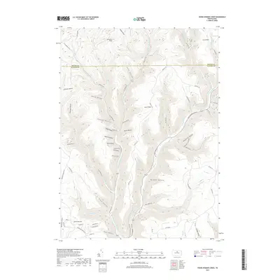
2019 Map of Young Womans Creek
USGS Topo · Published 2019About this map
Summerson Mtn and the surrounding high ridges define this section of the Pennsylvania Wilds, where the boundary between Potter and Clinton counties cuts through a dense network of narrow valleys. The drainage system is dominated by Young Womans Cr and its numerous tributaries, including Left Br Young Womans Cr and Shaney Brook. This 2019 survey illustrates a landscape primarily shaped by its hydrology and topographic relief, with numerous named hollows such as Calamity Hollow, Ingram Hollow, and Daugherty Hollow carving into the upland plateaus. The map reveals a remote geography where human activity is limited to a sparse network of forest roads and trails, such as Twelve Mile Rd and Fork Hill Rd, which follow the contours of the ridges and the paths of the winding stream beds.
Find a feature on this map
72 named features on this map. Tap any name to fly to it.
Don’t see what you’re looking for? This feature index may not catch every label — zoom into the map to look around manually.
Map Details
Editions of this 2019 Young Womans Creek Map
This is the sole edition of this map. No revisions or reprints were ever made.
Other maps of this area

1943 · Hyner
USGS Topo · 1:62,500

1946 · Young Womans Creek
USGS Topo · 1:24,000

1946 · Renovo East
USGS Topo · 1:62,500

1946 · Renovo West
USGS Topo · 1:62,500

1946 · Tamarack
USGS Topo · 1:24,000

1946 · Slate Run
USGS Topo · 1:24,000

1946 · Renovo East
USGS Topo · 1:24,000

1946 · Renovo West
USGS Topo · 1:24,000

1946 · Glen Union
USGS Topo · 1:24,000

1947 · Conrad
USGS Topo · 1:62,500