
1946 Map of Slate Run
USGS Topo · Published 1958About this map
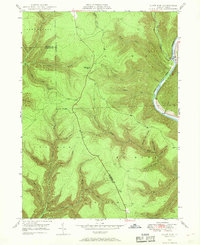
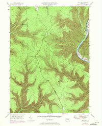
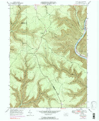
Pine Creek Gorge dominates this mid-century survey of the northern Pennsylvania wilderness, centered on the small riverside settlement of Slate Run. The landscape is defined by its deep drainage networks, where Little Slate Run and Trout Run carve through the high plateaus of Brown and Stewardson townships. The economic and logistical lifelines of the era are clearly visible, including the New York Central railroad corridor winding along the banks of Pine Creek. At higher elevations, the Pump Station Fire Tower provides a structural landmark above the dense system of hollows and forks like Baldwin Branch and Laurel Fork. The map records intricate topography across the intersection of Lycoming, Clinton, and Potter counties, detailing the remote character of North Central Pennsylvania before modern development altered these traditional transit routes.
Find a feature on this map
39 named features on this map. Tap any name to fly to it.
Don’t see what you’re looking for? This feature index may not catch every label — zoom into the map to look around manually.
Map Details
Editions of this 1946 Slate Run Map
4 editions found
Other maps of this area

1937 · Waterville
USGS Topo · 1:48,000

1943 · Hyner
USGS Topo · 1:62,500

1943 · Waterville
USGS Topo · 1:62,500

1946 · Young Womans Creek
USGS Topo · 1:24,000

1946 · Antrim
USGS Topo · 1:62,500

1946 · Renovo East
USGS Topo · 1:62,500

1946 · Cedar Run
USGS Topo · 1:24,000

1946 · Renovo East
USGS Topo · 1:24,000

1946 · Glen Union
USGS Topo · 1:24,000

1947 · Galeton
USGS Topo · 1:62,500
Featured Places
- Brown Township, PA
- McHenry Township, PA
- Slate Run, Brown Township
- Grugan Township, PA
- Stewardson Township, PA