
1947 Map of Galeton
USGS Topo · Published 1953About this map
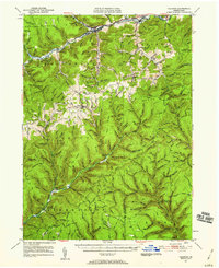
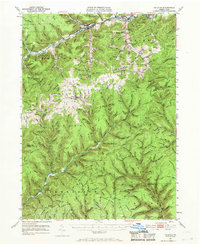
Galeton and the surrounding highlands of the Susquehannock region appear here during the late 1940s, a landscape defined by deep-cut hollows and specialized industry. The Baltimore and Ohio railroad follows the winding course of Pine Creek, serving the logging and manufacturing interests that shaped towns like Watrous and Marshlands. An interesting industrial relic is visible at Acid Factory Hol, reflecting the era's wood chemical production, while numerous Oil & Gas Wells dot the northern ridges near Elephant Mountain.
Find a feature on this map
76 named features on this map. Tap any name to fly to it.
Don’t see what you’re looking for? This feature index may not catch every label — zoom into the map to look around manually.
Map Details
Editions of this 1947 Galeton Map
3 editions found
Other maps of this area

1899 · Gaines
USGS Topo · 1:62,500

1900 · Gaines
USGS Topo · 1:62,500

1900 · Elkland
USGS Topo · 1:62,500

1932 · Genesee
USGS Topo · 1:62,500

1937 · Genesee
USGS Topo · 1:62,500

1937 · Waterville
USGS Topo · 1:48,000

1943 · Hyner
USGS Topo · 1:62,500

1943 · Waterville
USGS Topo · 1:62,500

1946 · Young Womans Creek
USGS Topo · 1:24,000

1946 · Tiadaghton
USGS Topo · 1:24,000