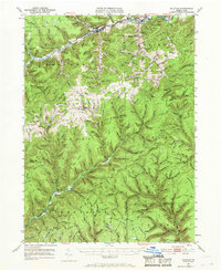
1947 Map of Galeton
USGS Topo · Published 1968About this map
Galeton and the surrounding Pennsylvania wilds are documented here during the mid-1940s, a period when the timber-and-tannery era had given way to state-managed conservation and reforestation. The rugged interior is carved by the Pine Creek and Kettle Creek watersheds, with the Baltimore and Ohio RR (formerly the B & S) still winding through the northern corridor past Germania Sta and Watrous. A significant cultural landmark is preserved in the south at Ole Bull State Park, where the Ole Bull Castle (Ruins) mark the site of the mid-19th-century Norwegian colony.
Find a feature on this map
144 named features on this map. Tap any name to fly to it.
Don’t see what you’re looking for? This feature index may not catch every label — zoom into the map to look around manually.
Map Details
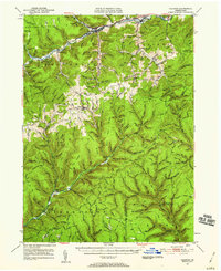
Editions of this 1947 Galeton Map
3 editions found

Other maps of this area

1899 · Gaines
USGS Topo · 1:62,500

1900 · Gaines
USGS Topo · 1:62,500

1900 · Elkland
USGS Topo · 1:62,500

1932 · Genesee
USGS Topo · 1:62,500

1937 · Genesee
USGS Topo · 1:62,500

1937 · Waterville
USGS Topo · 1:48,000

1943 · Hyner
USGS Topo · 1:62,500

1943 · Waterville
USGS Topo · 1:62,500

1946 · Young Womans Creek
USGS Topo · 1:24,000

1946 · Tiadaghton
USGS Topo · 1:24,000