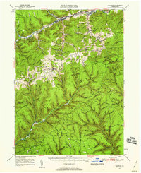
1947 Map of Galeton
USGS Topo · Published 1959About this map
The borough of Galeton serves as the focal point for this survey, where the Baltimore and Ohio Railroad meets the winding Pine Creek. The landscape is defined by the deep valleys of the West Branch and Kettle Creek, which carved out massive landforms like Bibiana Mountain and Elephant Mtn. To the south, Ole Bull State Park preserves the valley floor near the settlement of Oleona, while the surrounding ridges are dotted with isolated local history markers including the Yochum Hill Cem and Germania Cem.
Find a feature on this map
185 named features on this map. Tap any name to fly to it.
Don’t see what you’re looking for? This feature index may not catch every label — zoom into the map to look around manually.
Map Details
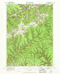
Editions of this 1947 Galeton Map
3 editions found

Other maps of this area

1899 · Gaines
USGS Topo · 1:62,500

1900 · Gaines
USGS Topo · 1:62,500

1900 · Elkland
USGS Topo · 1:62,500

1932 · Genesee
USGS Topo · 1:62,500

1937 · Genesee
USGS Topo · 1:62,500

1937 · Waterville
USGS Topo · 1:48,000

1943 · Hyner
USGS Topo · 1:62,500

1943 · Waterville
USGS Topo · 1:62,500

1946 · Young Womans Creek
USGS Topo · 1:24,000

1946 · Tiadaghton
USGS Topo · 1:24,000