
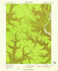
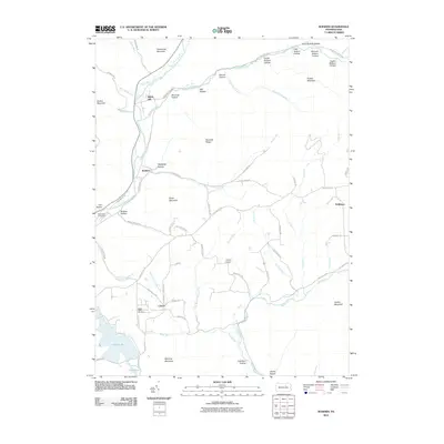
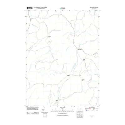
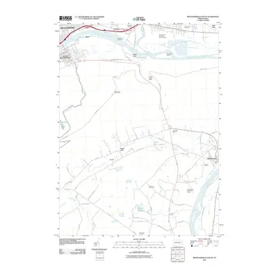
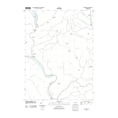
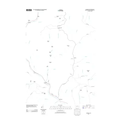
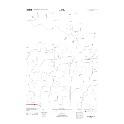
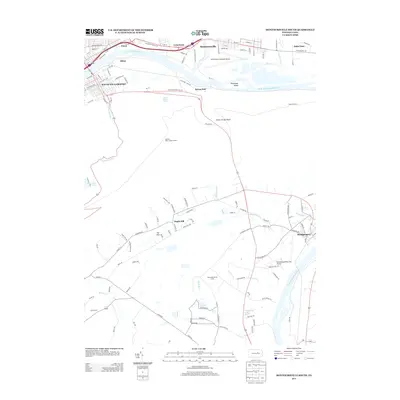
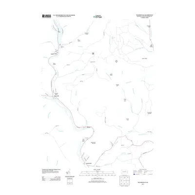
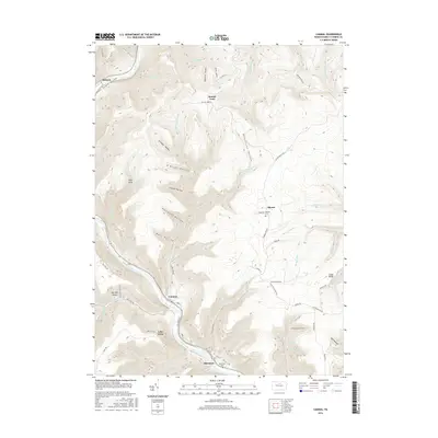
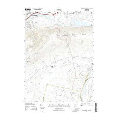
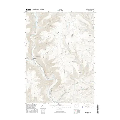
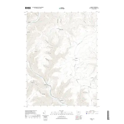
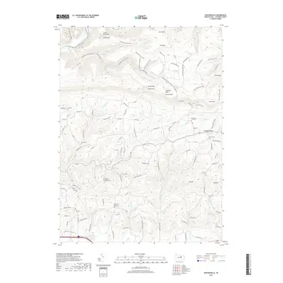
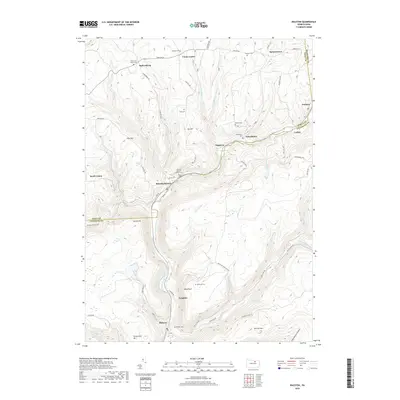
1946 Map of Slate Run
USGS Topo · Published 1990About this map
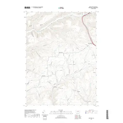
Pine Creek carves a deep valley through this northern Lycoming County landscape, where the settlement of Slate Run serves as a small hub of activity at the confluence of State Run. The topography is defined by an intricate network of hollows and branches, including Number Four Hollow and Cannon Hole Hollow, illustrating the complex drainage patterns of the Allegheny Plateau. The industrial and transit infrastructure of the mid-20th century is evident through the presence of the Penn Central line following the riverbank and a high-elevation Pump Station Fire Tower situated on a ridge near the Clinton County line. This 1946 survey, with later 1970s revisions, highlights a transition in land use from traditional mountain industry toward early modern resource management, as seen in the scattered Well sites and a remote Landing Strip appearing among the timbered reaches of Brown, Mchenry, and Chapman townships.
Find a feature on this map
41 named features on this map. Tap any name to fly to it.
Don’t see what you’re looking for? This feature index may not catch every label — zoom into the map to look around manually.
Map Details
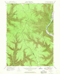
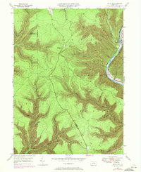
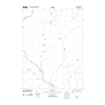
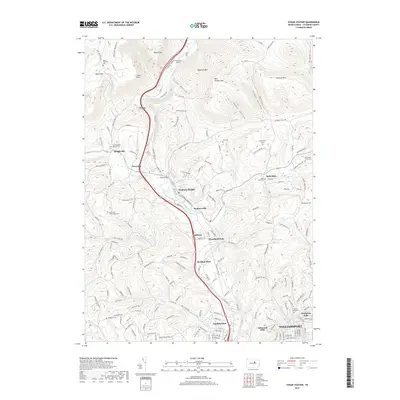
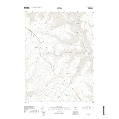
Editions of this 1946 Slate Run Map
4 editions found
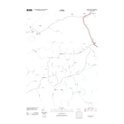
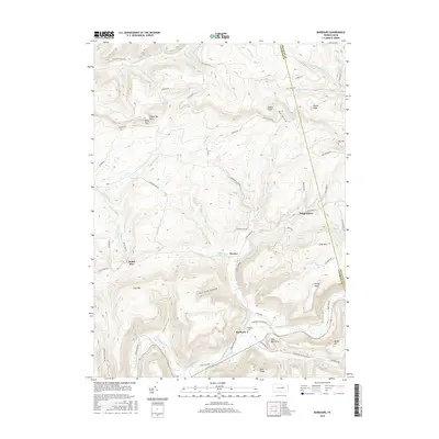
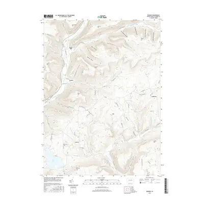
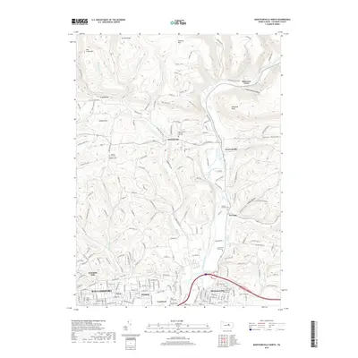
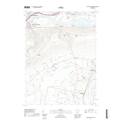
Historical Maps of Brown Township Through Time
116 maps found

1921 Trout Run
Lycoming County, PA

1923 Trout Run
Lycoming County, PA

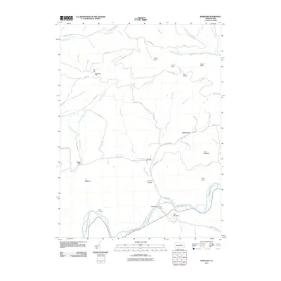
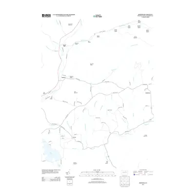
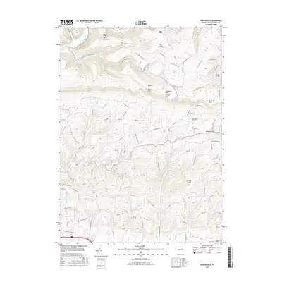
1930 Warrensville
Lycoming County, PA

1934 Warrensville
Lycoming County, PA

1935 Waterville
Lycoming County, PA

1937 Waterville
Lycoming County, PA

1943 Waterville
Lycoming County, PA

1944 Trout Run
Lycoming County, PA
1946 Slate Run
Lycoming County, PA

1948 Slate Run
Lycoming County, PA

1953 Warrensville
Lycoming County, PA

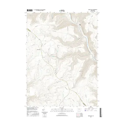
1965 Barbours
Lycoming County, PA

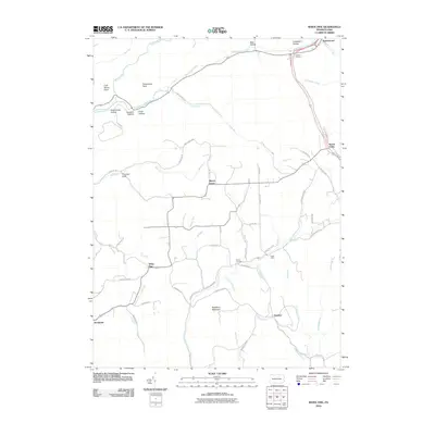
1965 Bodines
Lycoming County, PA

1965 Cammal
Lycoming County, PA

1965 Cogan Station
Lycoming County, PA

1965 English Center
Lycoming County, PA

1965 Huntersville
Lycoming County, PA

1965 Jersey Mills
Lycoming County, PA

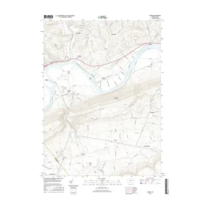
1965 Linden
Lycoming County, PA

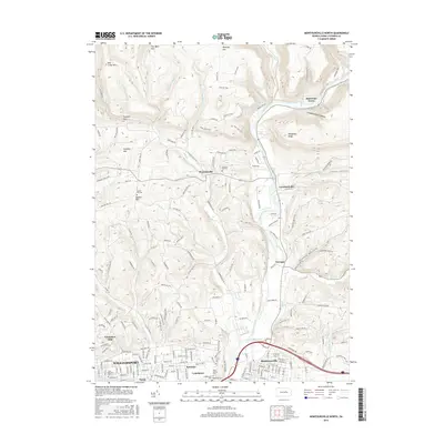
1965 Montoursville North
Lycoming County, PA

1965 Montoursville South
Lycoming County, PA

1965 Trout Run
Lycoming County, PA

1965 Waterville
Lycoming County, PA

1965 White Pine
Lycoming County, PA

1969 Grover
Lycoming County, PA

1969 Ralston
Lycoming County, PA

1977 Ralston
Lycoming County, PA

1984 Williamsport East
Lycoming County, PA

1994 Cammal
Lycoming County, PA

1994 Cogan Station
Lycoming County, PA

1994 English Center
Lycoming County, PA

1994 Montoursville South
Lycoming County, PA

1994 Slate Run
Lycoming County, PA

1994 Waterville
Lycoming County, PA

1995 Barbours
Lycoming County, PA

1999 Montoursville North
Lycoming County, PA
2010 Barbours
Lycoming County, PA
2010 Bodines
Lycoming County, PA
2010 Cammal
Lycoming County, PA
2010 Cogan Station
Lycoming County, PA
2010 English Center
Lycoming County, PA
2010 Grover
Lycoming County, PA
2010 Huntersville
Lycoming County, PA
2010 Jersey Mills
Lycoming County, PA

2010 Linden
Lycoming County, PA
2010 Montoursville North
Lycoming County, PA
2010 Montoursville South
Lycoming County, PA
2010 Ralston
Lycoming County, PA
2010 Slate Run
Lycoming County, PA
2010 Trout Run
Lycoming County, PA
2010 Waterville
Lycoming County, PA
2010 White Pine
Lycoming County, PA
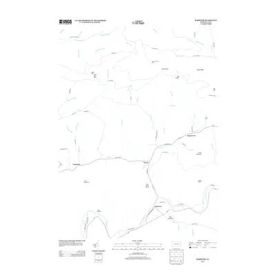
2013 Barbours
Lycoming County, PA
2013 Bodines
Lycoming County, PA
2013 Cammal
Lycoming County, PA
2013 Cogan Station
Lycoming County, PA
2013 English Center
Lycoming County, PA
2013 Grover
Lycoming County, PA
2013 Huntersville
Lycoming County, PA
2013 Jersey Mills
Lycoming County, PA
2013 Linden
Lycoming County, PA
2013 Montoursville North
Lycoming County, PA
2013 Montoursville South
Lycoming County, PA
2013 Ralston
Lycoming County, PA
2013 Slate Run
Lycoming County, PA
2013 Trout Run
Lycoming County, PA
2013 Waterville
Lycoming County, PA
2013 White Pine
Lycoming County, PA
2016 Barbours
Lycoming County, PA
2016 Bodines
Lycoming County, PA
2016 Cammal
Lycoming County, PA
2016 Cogan Station
Lycoming County, PA
2016 English Center
Lycoming County, PA
2016 Grover
Lycoming County, PA
2016 Huntersville
Lycoming County, PA
2016 Jersey Mills
Lycoming County, PA
2016 Linden
Lycoming County, PA
2016 Montoursville North
Lycoming County, PA
2016 Montoursville South
Lycoming County, PA
2016 Ralston
Lycoming County, PA
2016 Slate Run
Lycoming County, PA
2016 Trout Run
Lycoming County, PA
2016 Waterville
Lycoming County, PA
2016 White Pine
Lycoming County, PA
2019 Barbours
Lycoming County, PA
2019 Bodines
Lycoming County, PA
2019 Cammal
Lycoming County, PA
2019 Cogan Station
Lycoming County, PA
2019 English Center
Lycoming County, PA
2019 Grover
Lycoming County, PA
2019 Huntersville
Lycoming County, PA
2019 Jersey Mills
Lycoming County, PA

2019 Linden
Lycoming County, PA
2019 Montoursville North
Lycoming County, PA
2019 Montoursville South
Lycoming County, PA
2019 Ralston
Lycoming County, PA
2019 Slate Run
Lycoming County, PA
2019 Trout Run
Lycoming County, PA
2019 Waterville
Lycoming County, PA
2019 White Pine
Lycoming County, PA

2023 Barbours
Lycoming County, PA

2023 Bodines
Lycoming County, PA

2023 Cammal
Lycoming County, PA

2023 Cogan Station
Lycoming County, PA

2023 English Center
Lycoming County, PA

2023 Grover
Lycoming County, PA

2023 Huntersville
Lycoming County, PA

2023 Jersey Mills
Lycoming County, PA

2023 Linden
Lycoming County, PA

2023 Montoursville North
Lycoming County, PA

2023 Montoursville South
Lycoming County, PA

2023 Ralston
Lycoming County, PA

2023 Slate Run
Lycoming County, PA

2023 Trout Run
Lycoming County, PA

2023 Waterville
Lycoming County, PA

2023 White Pine
Lycoming County, PA
Featured Locations
- Grugan Township, PA
- Brown Township, PA
- McHenry Township, PA
- Stewardson Township, PA
- Slate Run, Brown Township