
1946 Map of Renovo West
USGS Topo · Published 1953About this map
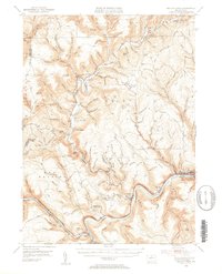
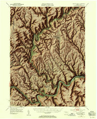
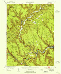
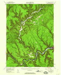
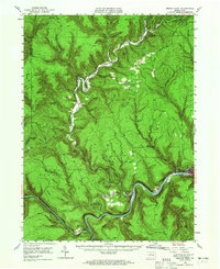
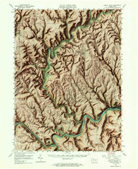
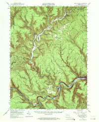
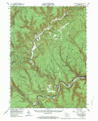
The West Branch of the Susquehanna River West Branch carves a deep path through Clinton County, anchoring the industrial and transport corridor of Renovo, West Renovo, and South Renovo. In the mid-1940s, this area was defined by the presence of the Pennsylvania RR and the Bucktail Trail, which followed the river's winding course. The map reveals a landscape dominated by steep ridges such as Drury Ridge and Big Ridge, where smaller upland settlements like Bitumen and Leidy are interspersed with family-named landmarks and essential infrastructure like the Tamarack Fire Tower.
Find a feature on this map
82 named features on this map. Tap any name to fly to it.
Don’t see what you’re looking for? This feature index may not catch every label — zoom into the map to look around manually.
Map Details
Editions of this 1946 Renovo West Map
9 editions found
Other maps of this area

1921 · Howard
USGS Topo · 1:48,000

1923 · Howard
USGS Topo · 1:62,500

1928 · Snow Shoe
USGS Topo · 1:48,000

1929 · Karthaus
USGS Topo · 1:62,500

1931 · Show Shoe
USGS Topo · 1:62,500

1932 · Karthaus
USGS Topo · 1:62,500

1943 · Hyner
USGS Topo · 1:62,500

1945 · Driftwood
USGS Topo · 1:48,000

1945 · First Fork
USGS Topo · 1:24,000

1945 · Sinnemahoning
USGS Topo · 1:24,000
Featured Places
- Leidy Township, PA
- Wharton Township, PA
- West Renovo, Noyes Township
- Bitumen, Noyes Township
- East Keating Township, PA